Install
North Fond du Lac, WI Weather
Current conditions
Observed at Wittman Regional Airport · 31 min ago
Forecast
10-day-
Monday Night
A chance of rain showers before 7pm. Mostly cloudy, with a low around 42. East wind 10 to 15 mph.
-
Tuesday
Partly sunny, with a high near 62. Southeast wind 10 to 15 mph.
-
Tuesday Night
Mostly cloudy, with a low around 51. South wind 5 to 10 mph.
National Weather Service forecast updated 19 hrs ago.
Hourly
Hourly forecast- Now46°
- 1 AM46°
- 2 AM46°
- 3 AM45°
- 4 AM45°
- 5 AM44°
- 6 AM44°
- 7 AM45°
- 8 AM47°
- 9 AM51°
- 10 AM54°
- 11 AM56°
- 12 PM58°
- 1 PM60°
- 2 PM61°
- 3 PM62°
- 4 PM62°
- 5 PM60°
- 6 PM58°
- 7 PM57°
- 8 PM55°
- 9 PM54°
- 10 PM55°
- 11 PM55°
10-day forecast
Details- TonightOct 25Cloudy50°
- MonOct 26Mostly Cloudy then Chance Rain Showers13%42°55°
- TodayOct 27Partly Sunny51°62°
- WedOct 28Partly Sunny39%54°71°
- ThuOct 29Chance Showers And Thunderstorms39%47°69°
- FriOct 30Slight Chance Rain Showers33%49°66°
- SatOct 31Chance Rain Showers39%50°65°
- SunNov 1Chance Rain Showers32%66°
- MonNov 2Cloudy0.11 in53°67°
- TueNov 3Rain0.50 in46°58°
Days after the National Weather Service's seven are MET Norway's outlook, a computer model with no forecaster's review.
Radar
Full mapWeather news in Wisconsin
More weather news-
 Southeast Wisconsin Weather - More Mild Weather This Weekend
It was another beautiful weather day in Southeast Wisconsin. We saw sunshine and highs in the upper 60s and low 70s. Overnight lows stay in the 50s. That is warm and mild for late October. Perfect for everyone…
- Well above normal temperatures Sunday in SE Wisconsin
WISN Well above normal temperatures Sunday in SE Wisconsin Sunday will be very warm for late October with high temperatures in the 70s, likely within a few degrees of the record high. High school football coach dies…
-
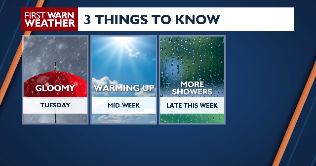 A gloomy start to the week
âCOPYRIGHT 2026 BY NEWS 8 NOW/NEWS 8000. ALL RIGHTS RESERVED. THIS MATERIAL MAY NOT BE PUBLISHED, BROADCAST, REWRITTEN OR REDISTRIBUTED. News 8+ 24/7 Live Stream Hometown Heroes: Jim Cappuccio Brewers In Search Of 3-0…
-
 AP Trending SummaryBrief at 12:34 p.m. EDT
How daylight saving time changes affect you and what you can do about it How daylight saving time changes affect you and what you can do about it It's almost time for most Americans to set their clocks back an hour…
- AP Trending SummaryBrief at 11:53 a.m. EDT
How daylight saving time changes affect you and what you can do about it How daylight saving time changes affect you and what you can do about it It's almost time for most Americans to set their clocks back an hour…
-
 Weather Discussion 10/26/26
Highs back near average today in the upper 40s and low 50s thanks to mostly cloudy skies sticking around. A slight chance for showers exists but a lot of dry air may prevent any showers from reaching the surface until…
-
 Vance no longer a hurricane but as a tropical storm still threatens Mexico's Pacific coast
Tropical Storm Vance is churning off Mexicoâs southwest Pacific coast after a day of gradual weakening but is threatening several western states in that country with heavy rain and possible flash flooding. Elsewhere…
-
 Mild today before a cool early week
Fog will linger all day along the lakeshore while the rest get midday sun. More days with morning fog and sunny, warmer-than-normal sunny afternoons. Fall starts to make its comeback this weekend. Mild today before a…
- Weather Discussion 10/25/26
A few showers in the area this morning will slowly push south throughout the day. Expect the afternoon hours to be dry with cloudy skies and light winds from the north and northwest and highs in the mid 50s. A few more…
-
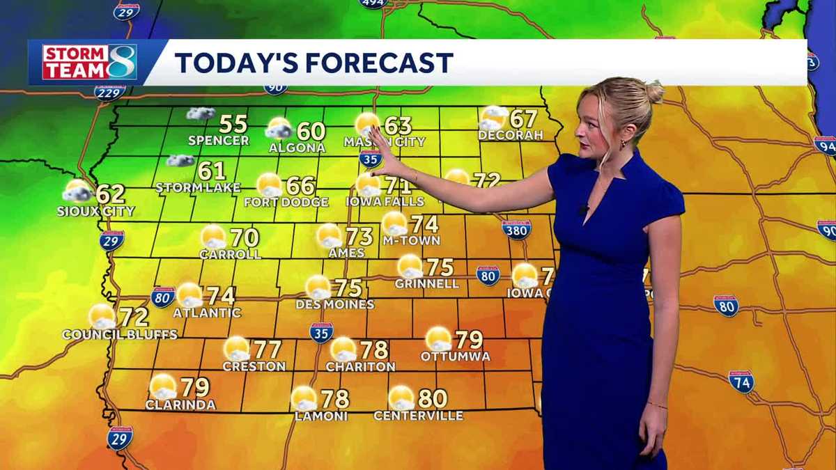 Iowa weather: A beautiful Sunday before rain chances ramp up
It'll be another perfect fall day today with high temperatures slightly cooler than yesterday in the mid 70s and less of a breeze. A cold front slowly moving across the state today will keep temperatures in northern…
Air quality
Air quality is satisfactory, and air pollution poses little or no risk.
Forecast
- TueModerate
- WedModerate
- ThuGood
Kettle Moraine North, WI reporting area · 1 hr ago. Data from AirNow (EPA and its state, local and tribal partners); preliminary and subject to change.
Sun & moon
Almanac
MonthlyFond Du Lac Wwtp, records since 1893. Normals 1991–2020. Data from NOAA's Regional Climate Centers (ACIS).
Nearby
- Appleton 50 km
- Oshkosh 24 km
- Fond du Lac 5 km
- West Bend 49 km
- Neenah 42 km
- Menasha 44 km
- Beaver Dam 49 km
- Kaukauna 55 km
- Hartford 56 km
- Waupun 28 km
- Little Chute 54 km
- Plymouth 41 km
Forecasters' discussion
From the National Weather Service office in MKX, issued 5 hrs ago
Key Messages
- Temperatures gradually warm up by Wednesday and remain mild into the rest of the week and this weekend.
- Chances (30 to 60 percent) for showers later Wednesday night into early Thursday morning. A few thunderstorms may occur.
- More chances (30 to 50 percent) for showers Friday into Friday night, and at times this weekend (20 to 40 percent).
Update
Issued 715 PM CDT Mon Oct 26 2026
Sprinkles remain possible across the western and northern portions of the forecast area this evening as upper level PVA moves through the state. The PVA will be the main driver of any lingering and diminished showers in southern Wisconsin. While the better lift, mid level frontogenesis and moisture remain to the north in Minnesota and central and northern Wisconsin. Any sprinkles/drizzle that moves in is expected to be short lived and light. Chances while low around 10% or less will remain through the overnight hours into Tuesday.
Patterson
Short Term
Issued 215 PM CDT Mon Oct 26 2026
Tonight through Tuesday night:
Some showers in far northern parts of the area will shift northeast over the next few hours, with additional sprinkles possible over mainly northern portions of the area through later this afternoon. This is being helped along by some modest 850 mb frontogenesis response and some weak 500 mb vorticity maxima shifting through the region. Forecast soundings are showing enough moisture for some brief sprinkles or showers in these areas.
The main area of warm air advection and warm frontal precipitation should remain northwest of the area tonight into Tuesday, as modest warm air advection develops over the area. This warm air advection and an approaching 500 mb shortwave trough could support some sprinkles Tuesday into Tuesday night, if enough low level moisture develops. For now, left the forecast dry as there may not be enough moisture to support this.
Middle to high clouds should linger across the region into Tuesday, with some peaks of sun at times on Tuesday. Gusty northeast winds into tonight should veer east later tonight and southeast on Tuesday. Lows in the 40s are expected tonight, with highs into the upper 60s inland on Tuesday, with onshore winds keeping upper 50s to lower 60s closer to Lake Michigan. Milder lows in the lower 50s are anticipated Tuesday night.
Wood
Long Term
Issued 215 PM CDT Mon Oct 26 2026
Wednesday through Monday:
South winds into Wednesday will continue to bring warmer temperatures into the area, with highs rising into the lower to perhaps middle 70s. It may be a little cooler near the lake if winds turn southeast in the afternoon. More sunshine should occur as the area gets more into the warm sector.
Models continue to show the cold front slowly shifting southeast across the area Wednesday night into Thursday morning, shifting out of the area during the afternoon. This feature should help bring a period of showers (30 to 60 percent chances) to the area, mainly later Wednesday night into early Thursday morning. A few thunderstorms may occur as well, with very weak elevated CAPE. Rainfall amounts should be fairly light. Highs should still get into the upper 60s to lower 70s Thursday as the front moves through, then cools down into the 40s Thursday night with high pressure moving through the region.
500 mb cluster analysis then shows an anomalous ridge axis gradually building across the Great Lakes region over the weekend into early next week. This should continue to favor milder temperatures during this period, which are supported by ensemble members. There should be chances (30 to 50 percent) for showers at times Friday into Friday night, and 20 to 40 percent chances over the weekend, as low pressure passes by to the south of the area. Ensemble members are showing a trend for a wetter period this weekend, though there may be breaks at times.
Wood
Forecasts, observations and alerts in the United States come from the National Weather Service (NOAA); radar from NOAA's Multi-Radar Multi-Sensor system; satellite imagery from NASA's Global Imagery Browse Services (GIBS) and NOAA's GOES satellites; the map from the U.S. Geological Survey's National Map; air quality from AirNow (EPA and its partners); hurricane information from the National Hurricane Center; climate normals and records from NOAA's Regional Climate Centers (ACIS). Forecasts outside the United States and the UV index: MET Norway (CC BY 4.0); observations outside the U.S.: airport reports via NOAA's Aviation Weather Center. Place names: GeoNames (CC BY 4.0). Data are copied on a schedule and may lag the sources; for warnings that affect your safety, follow your local National Weather Service office and emergency officials. Weather news is drawn from the 4Conservative index and reflects what the press published. Terms of use. How to use Weather