Install
White Center, WA Weather
Current conditions
Observed at Boeing Field - King County International Airport · 27 min ago
Forecast
10-day-
Monday
A chance of rain. Mostly cloudy. High near 55, with temperatures falling to around 53 in the afternoon. North wind around 3 mph. Chance of precipitation is 40%. New rainfall amounts less than a tenth of an inch possible.
-
Monday Night
A chance of rain. Mostly cloudy. Low around 46, with temperatures rising to around 48 overnight. South wind 1 to 6 mph. Chance of precipitation is 50%. New rainfall amounts less than a tenth of an inch possible.
-
Tuesday
Rain likely after noon. Mostly cloudy, with a high near 56. South southwest wind 5 to 13 mph. Chance of precipitation is 70%. New rainfall amounts less than a tenth of an inch possible.
National Weather Service forecast updated 11 hrs ago.
Hourly
Hourly forecast- Now49°19%
- 11 AM50°11%
- 12 PM52°
- 1 PM53°12%
- 2 PM54°10%
- 3 PM54°10%
- 4 PM55°11%
- 5 PM53°31%
- 6 PM53°24%
- 7 PM52°22%
- 8 PM50°22%
- 9 PM50°21%
- 10 PM49°32%
- 11 PM49°40%
- Tue12 AM49°45%
- 1 AM49°46%
- 2 AM48°48%
- 3 AM48°41%
- 4 AM48°31%
- 5 AM48°23%
- 6 AM48°13%
- 7 AM48°
- 8 AM47°
- 9 AM48°
10-day forecast
Details- TonightOct 25Chance Light Rain48%46°
- TodayOct 26Chance Light Rain48%46°55°
- TueOct 27Mostly Cloudy then Light Rain Likely89%45°56°
- WedOct 28Light Rain86%41°54°
- ThuOct 29Light Rain Likely68%40°51°
- FriOct 30Slight Chance Light Rain then Partly Sunny19%38°51°
- SatOct 31Partly Sunny39°53°
- SunNov 1Partly Sunny53°
- MonNov 2Partly cloudy38°49°
- TueNov 3Mostly sunny37°55°
Days after the National Weather Service's seven are MET Norway's outlook, a computer model with no forecaster's review.
Radar
Full mapWeather news near White Center
More weather news-
 AccuWeather Warns Rain And Chilly Air Could Disrupt Halloween Festivities Across Multiple Regions
Trick-or-treaters across parts of the southwestern and central United States may face rain and thunderstorms this Halloween weekend, while much of the eastern third of the country is projected to stay dry. According to…
-
 Friday continues the trend of sunny October afternoons, rain threatens the weekend
Friday skies are gradually clearing to sunny, with high temperatures warming into the mid to upper 50s and a few low 60s around the South Sound. Friday continues the trend of sunny October afternoons, rain threatens the…
-
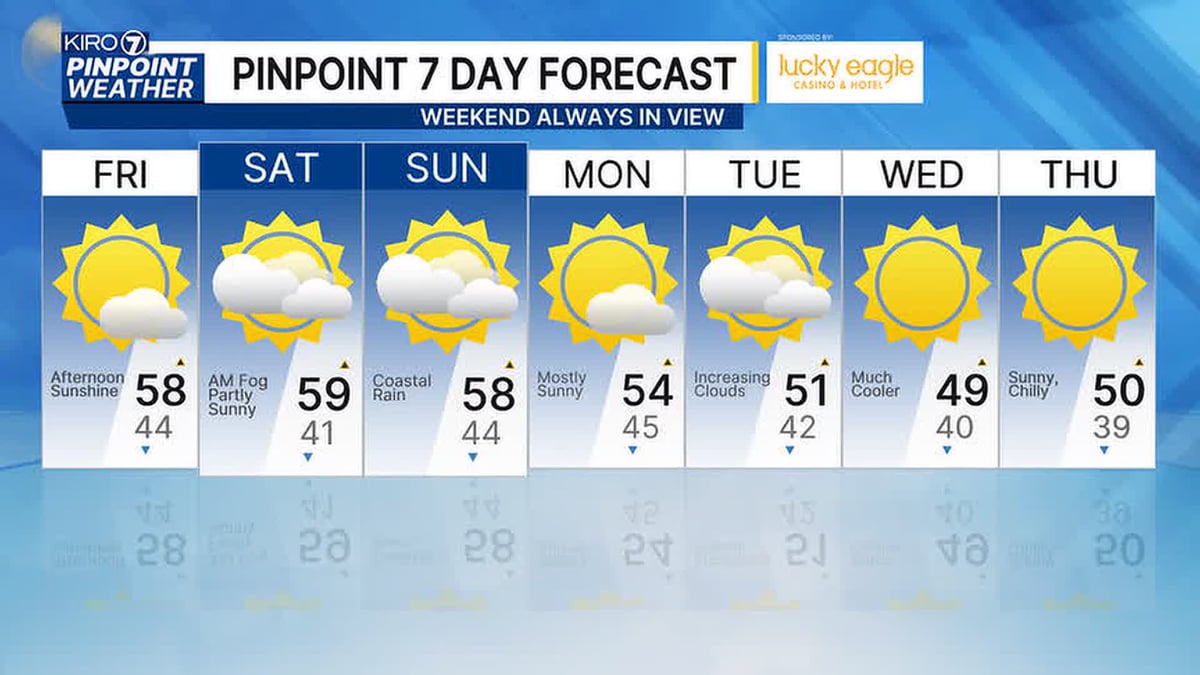 Sunny October Afternoons Continue, but Rain Threatens the Weekend
Friday brings another sunny October afternoon to the Seattle area, extending a stretch of pleasant fall weather. Forecasters, however, are tracking a shift as rain moves in and threatens to dampen plans for the weekend…
-
 Will We Still Get Japow During Super El Niño?
El Niño has has officially reached uncharted territory. Water in the equatorial Pacific has now been measured at 3.3°C (5.9°F) above average, surpassing the previous record set in November 2015. Even Japan, famous for…
-
 The spooky secret hiding inside Pacific Northwest Glaciers | CNN
Glacier ice worms look like monsters from a horror movie. But they could reveal clues to how life survives in extremes — if they survive human-made warming. An astronaut aboard SpaceX Dragon and a videographer beside a…
-
 Fire whirl flares during French protests | CNN
A fire whirl was spotted briefly during anti-government protests in Clermont-Ferrand, a city in central France. An astronaut aboard SpaceX Dragon and a videographer beside a lake in Canada share two amazing views of…
-
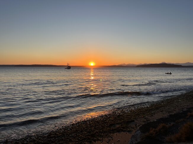 TRAFFIC, TRANSIT, WEATHER: Wednesday watch
6:02 AM: Good morning! Welcome to Wednesday, October 21, 2026. Sunny, high in the low 60s. Sunrise will be at 7:37 am today, with sunset at 6:09 pm. SDOT is scheduled to close the low bridge to drivers from 7 am…
-
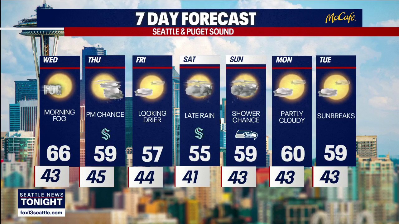 Seattle weather: More sunny fall days ahead
FOX 13 Seattle FOX 13 Seattle Meteorologist Claire Anderson has your latest western Washington weather forecast.
-
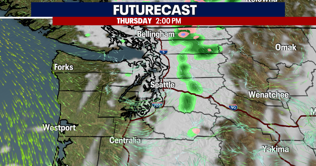 Seattle weather: Mild Wednesday, cooler later this week
Seattle weather: Morning fog, low 60s Tuesday Seattle - Western Washington’s weather will continue to stay quiet through Friday, though some could see a few light showers on Thursday. Light offshore flow won't be strong…
-
 Violent storms drench Corsica and southern France | CNN
On Tuesday, “unprecedented” precipitation hit Corsica, a French island in the Mediterranean. Over four months of rain (21 inches) fell in six hours, setting a new record for France. An astronaut aboard SpaceX Dragon and…
Air quality
Acceptable. Unusually sensitive people should consider limiting prolonged outdoor exertion.
Forecast
- MonGood (33)
- TueGood (33)
- WedGood (33)
Seattle-Bellevue-Kent Valley, WA reporting area · 1 hr ago. Data from AirNow (EPA and its state, local and tribal partners); preliminary and subject to change.
Sun & moon
Almanac
MonthlySeattle Tacoma Area, records since 1945. Normals 1991–2020. Data from NOAA's Regional Climate Centers (ACIS).
Nearby
Forecasters' discussion
From the National Weather Service office in SEW, issued 1 hr ago
Synopsis
A weather system will move onshore today across northwest Oregon, resulting in lingering showers for Western Washington. Unsettled conditions will continue on Tuesday for light precipitation. A frontal system will move into the area late Tuesday into Wednesday, bringing lowland rain, mountain snow, and breezy conditions. Cooler conditions favored midweek into the weekend.
Short Term
An upper-level low pressure system continues to spin offshore towards northwest Oregon early this morning. As the system pushes east today, expect lingering shower activity. A weak shortwave will drop down early Tuesday keeping conditions unsettled. A frontal system associated with a colder air mass will will move south from British Columbia into Washington late Tuesday into Wednesday. This system will bring lowland rain, mountain snow, cooler temperatures, and breezy winds. Snow levels are expected to drop Tuesday evening into Wednesday morning to 2500-3500 ft. These lower snow levels will introduce snow to the passes. Latest NBM guidance has trended slightly higher for snowfall amounts. At the moment, guidance suggests the passes may see between 4-6 inches and higher mountain peaks may receive 8-13 inches by Wednesday evening. Additionally, there is a slight chance of thunderstorms on Wednesday for the lowlands, with probabilities currently between 10-15%. As for winds, latest guidance has wind gusts peaking between 20-25 mph. In the wake of the cold front passing on Wednesday, high temperatures are expected to only peak into the upper 40s to low 50s.
29
Long Term
There is generally good agreement between ensembles that the upper level low will deepen offshore Thursday through late in the week, lowering the chances for precipitation over Western Washington. Cooler temperatures are favored to continue into the weekend. High temperatures in the upper 40s to low 50s. Low temperatures will be in the 30s, with upper 20s possible in the usual colder spots. Ensemble members are evenly split on the upper-level pattern on Sunday. Some members favor a trough over the Pacific Northwest, while others favor a transient upper level ridge.
29
Aviation
South to southeasterly flow aloft as an upper level low sinks southward along the coast before starting to push inland over northern OR today, before shifting northwesterly as the system moves further east. SUrface winds this morning largely light and variable with speeds less than 5 kts. Those showing slightly faster speeds ranging 4-8 kts have a more east to northeasterly direction, such as HQM, OLM and BLI. Most terminals expected to shift southerly by early afternoon although speeds largely remaining around 5 kts or slightly less.
Lower cigs mainly tied to where precip persists this early morning. VFR conditions being reported by the East Sound Terminals while much of the Olympic Peninsula has MVFR to IFR conditions. With the coast being close to the center of the upper low, a mix of VFR to MVFR conditions are present there but as latest radar shows another band of precip reaching the coast by mid-morning, a shift to more MVFR cigs there is likely. Short-lived widespread low-end VFR conditions expected in the early afternoon, but with plenty of low level moisture and a shift to onshore flow, MVFR conditions throughout W WA expected to develop this evening with MVFR/IFR conditions tonight into Tuesday.
KSEA...VFR conditions this morning, although brief reductions to MVFR/IFR will be possible in any rain that moves through. Low- end VFR conditions expected this afternoon and evening, but expect conditions to drop to MVFR overnight with the return of onshore flow and abundant moisture in the low levels. Some guidance is hinting at IFR conditions emerging in the overnight hours (roughly a 15% chance), however confidence in this scenario remains low at this time.
18/14
Forecasts, observations and alerts in the United States come from the National Weather Service (NOAA); radar from NOAA's Multi-Radar Multi-Sensor system; satellite imagery from NASA's Global Imagery Browse Services (GIBS) and NOAA's GOES satellites; the map from the U.S. Geological Survey's National Map; air quality from AirNow (EPA and its partners); hurricane information from the National Hurricane Center; climate normals and records from NOAA's Regional Climate Centers (ACIS). Forecasts outside the United States and the UV index: MET Norway (CC BY 4.0); observations outside the U.S.: airport reports via NOAA's Aviation Weather Center. Place names: GeoNames (CC BY 4.0). Data are copied on a schedule and may lag the sources; for warnings that affect your safety, follow your local National Weather Service office and emergency officials. Weather news is drawn from the 4Conservative index and reflects what the press published. Terms of use. How to use Weather