Install
St Johnsbury, VT Weather
Current conditions
Forecast for this hour (no station report in the last two hours)
Forecast
10-day-
Saturday
Sunny, with a high near 55. West wind around 1 mph.
-
Saturday Night
Clear, with a low around 26. Wind around 0 mph.
-
Sunday
Sunny, with a high near 60. Northwest wind around 1 mph.
National Weather Service forecast updated 2 days ago.
Hourly
Hourly forecast- Now51°
- 6 PM47°
- 7 PM43°
- 8 PM41°
- 9 PM37°
- 10 PM34°
- 11 PM31°
- Sun12 AM29°
- 1 AM28°
- 2 AM28°
- 3 AM28°
- 4 AM28°
- 5 AM28°
- 6 AM27°
- 7 AM26°
- 8 AM28°
- 9 AM33°
- 10 AM40°
- 11 AM47°
- 12 PM52°
- 1 PM56°
- 2 PM59°
- 3 PM60°
- 4 PM60°
10-day forecast
Details- TonightOct 21Partly Cloudy30°
- ThuOct 22Mostly Sunny28°54°
- FriOct 23Sunny24°51°
- TodayOct 24Sunny26°55°
- SunOct 25Sunny33°60°
- MonOct 26Mostly Sunny33°60°
- TueOct 27Mostly Sunny27°52°
- WedOct 28Mostly Sunny52°
- ThuOct 29Cloudy37°55°
- FriOct 30Partly cloudy37°54°
Days after the National Weather Service's seven are MET Norway's outlook, a computer model with no forecaster's review.
Radar
Full mapWeather news in Vermont
More weather news-
 NOAA’s Winter Outlook Predicts Warmer Temperatures and Less Snow for Vermont
At SSBCrack News, our dedicated editorial team brings you the latest and most reliable updates on Defence, Geopolitics, Military Affairs, Science, and Technology. Driven by a passion for national security and strategic…
- Vermont Woolly Bear Points to Mild Winter in Predicting A Harsh Winter Using Wildlife
A Vermont woolly bear crossing a patch of pine needles on an access road this week is feeding the old habit of predicting a harsh winter using wildlife, and this one pointed toward a mild season. Its black ends and wide…
-
 PHOTOS: First snowflakes fly around Vermont
VTDigger Member-supported journalism. Informing and engaging Vermont. This year, VTDigger is teaming up with Henry’s Weather Channel to help answer the annual question of when and where peak foliage will make its…
-
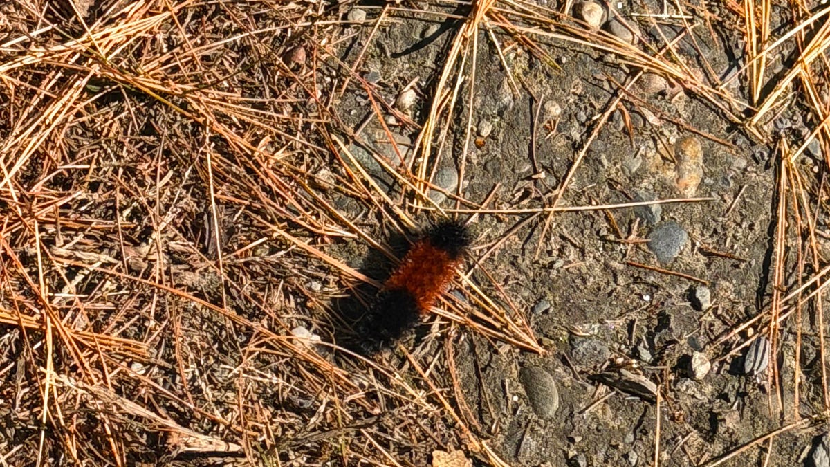 A Vermont Woolly Bear Calls for a Mild Winter. NOAA Mostly Agrees.
The federal government released its official winter forecast on Thursday. Compass Vermont got a second opinion from a caterpillar. We found him crossing a patch of pine needles on a Vermont access road this week. He’s a…
-
 New maps reveal who could see more snow during this year’s super El Niño
This year’s potentially record-setting El Niño is expected to shape winter weather and snowfall across the US. A new CNN Weather analysis shows how snowfall has changed during El Niño winters, offering clues as to what…
-
 Storm Boelo brings disruption with the full force still to come
Lough Melvin in County Fermanagh being battered by Storm Boelo on Saturday Storm Boelo has brought gusts of more that 70mph (113kph) to the east coast of Northern Ireland on Saturday, with conditions due to worsen later…
-
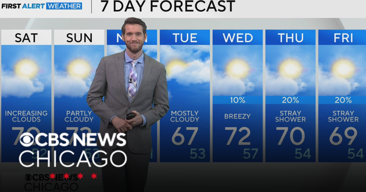 Mild, rain-free day Saturday for Chicago
CBS News Los Angeles Weekend 8am CBS News Miami This Morning 10am CBS News New York Saturday 11am Hometown High Q Classics CBS News Texas 9am
-
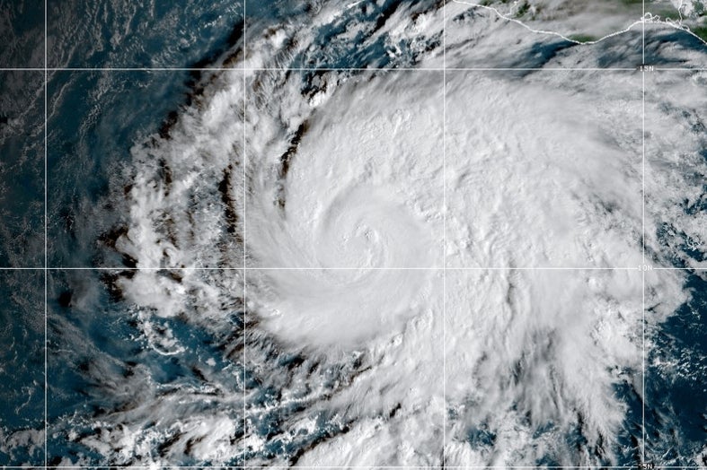 Hurricane Vance intensifies rapidly off Mexico's Pacific Coast
This GOES-19 GeoColor satellite image provided by the National Oceanic and Atmospheric Administration (NOAA) and taken on Friday, Oct. 23, 2026, shows Hurricane Vance in the Pacific. Hurricane Vance rapidly strengthened…
-
 Thousands without power as rain and wind continues
The Met Office issued a yellow weather warning for heavy rain on Saturday Thousands of homes are without power, and disruption is continuing across Devon and Cornwall after more stormy weather. On Friday, Storm Austen…
-
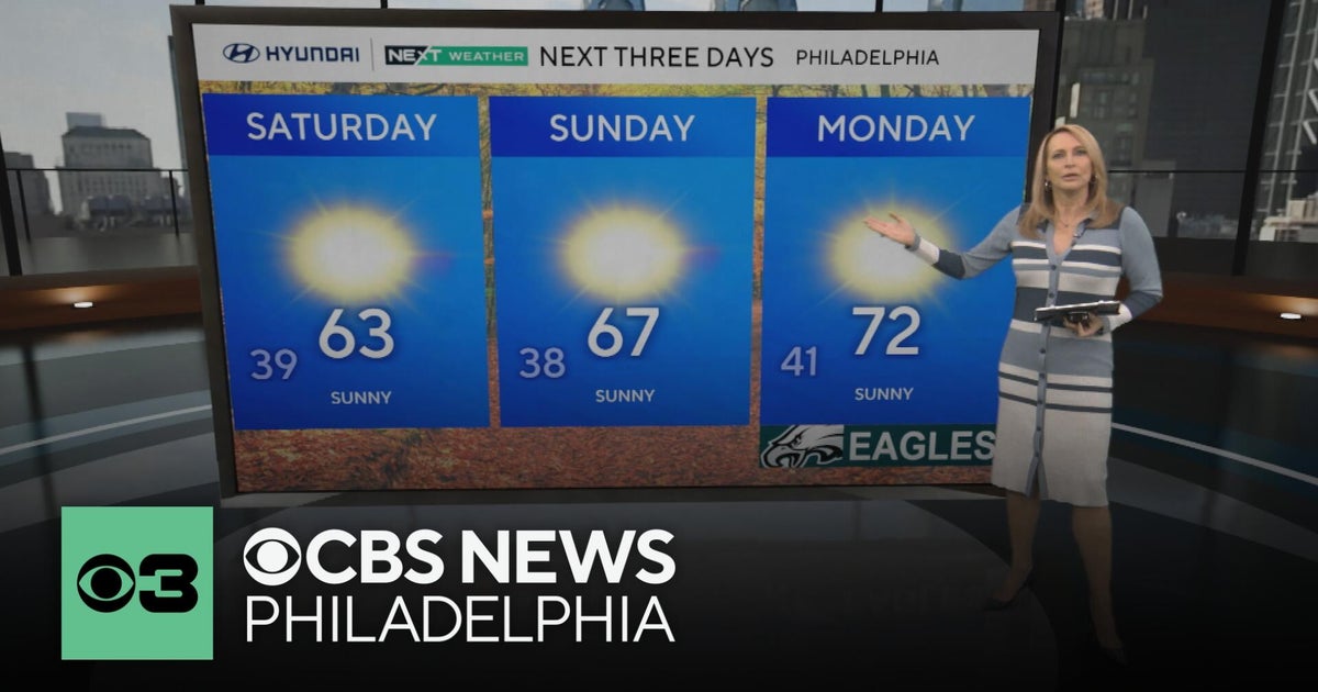 Frosty mornings and sunny days ahead in the Philadelphia area | NEXT Weather
CBS News Bay Area Morning Edition Weekend 7am CBS News Chicago Saturday at 9am CBS Colorado Mornings Weekend CBS News Los Angeles Weekend 7am CBS News Miami This Morning 10am CBS News New York Saturday 10am KDKA News…
Air quality
Forecast
- SatModerate (60)
- SunModerate (60)
Vermont Mountain Valley Locations, VT reporting area. Data from AirNow (EPA and its state, local and tribal partners); preliminary and subject to change.
Sun & moon
Almanac
MonthlySaint Johnsbury, records since 1894. Normals 1991–2020. Data from NOAA's Regional Climate Centers (ACIS).
Nearby
- Barre 46 km
- Montpelier 48 km
- Saint Johnsbury 1 km
- Morristown 50 km
- Lyndon 10 km
- Haverhill 44 km
- Newport 59 km
- Littleton 24 km
- Deerfield 38 km
- Stowe 53 km
- Northumberland 39 km
- Northfield 59 km
Forecasters' discussion
From the National Weather Service office in BTV, issued 10 hrs ago
What Has Changed
As of 212 AM EDT Saturday...
No significant changes have been made with this forecast package.
Key Messages
As of 212 AM EDT Saturday...
1. Beautiful weekend on tap for the North Country.
2. Cold front on Monday may bring a few showers but dry weather is largely expected through the upcoming week.
Discussion
As of 212 AM EDT Saturday...
KEY MESSAGE 1: There may be a few high clouds present at sunrise but sunny skies will prevail both today and Sunday. A 1033 mb high pressure has become well established across the region this morning and will remain in place through much of the day Sunday. As a result, winds will be light and variable throughout the day today. Winds will shift to the south at 7-12 mph Sunday afternoon as this high departs to the east and gradient flow begins to pick up. No precipitation is expected this weekend as high temperatures will be near or slightly above seasonal normals.
KEY MESSAGE 2: A cold front is slated to move across the region during the second half of Monday. There are an increasing number of deterministic models and ensemble perturbations that are showing increasing rain chances Monday afternoon and evening across parts of the forecast area. However, the consensus is still favoring a mostly dry passage of the cold front. We have introduced some 20-30 PoPs for portions of northern New York and northern Vermont as a result but the antecedent dry air will likely make it very difficult for any rain to make it to the surface. Thereafter, temperatures on Tuesday will be noticeably cooler as highs will struggle to warm into the mid 40s. Another high pressure system, this one even stronger than the last, will move overhead on Wednesday which will allow the extended period of dry weather to continue. Temperatures will also moderate underneath this high pressure system with temps clicking back into the upper 40s to mid 50s on Wednesday. There is a chance we could see a frontal boundary approach from the west late next week but looks rather unimpressive at this time.
Aviation
Through 12Z Sunday...VFR conditions and light winds are expected to prevail through the TAF period. KRUT will continue to experience their typical 110-140 degree drainage wind of 7-10 knots through 12Z with winds becoming light and variable throughout the day. These terrain driven winds will likely develop once again after 3Z on Sunday.
Outlook...
Sunday: VFR. NO SIG WX. Sunday Night: VFR. NO SIG WX. Monday: VFR. NO SIG WX. Monday Night: VFR. NO SIG WX. Tuesday: VFR. NO SIG WX. Tuesday Night: VFR. NO SIG WX. Wednesday: VFR. NO SIG WX.
Forecasts, observations and alerts in the United States come from the National Weather Service (NOAA); radar from NOAA's Multi-Radar Multi-Sensor system; satellite imagery from NASA's Global Imagery Browse Services (GIBS) and NOAA's GOES satellites; the map from the U.S. Geological Survey's National Map; air quality from AirNow (EPA and its partners); hurricane information from the National Hurricane Center; climate normals and records from NOAA's Regional Climate Centers (ACIS). Forecasts outside the United States and the UV index: MET Norway (CC BY 4.0); observations outside the U.S.: airport reports via NOAA's Aviation Weather Center. Place names: GeoNames (CC BY 4.0). Data are copied on a schedule and may lag the sources; for warnings that affect your safety, follow your local National Weather Service office and emergency officials. Weather news is drawn from the 4Conservative index and reflects what the press published. Terms of use.