Install
Rocky Mount, VA Weather
Current conditions
Forecast for this hour (no station report in the last two hours)
Forecast
10-day-
Friday
Sunny, with a high near 67. North wind 5 to 8 mph.
-
Friday Night
Mostly clear, with a low around 44. Northeast wind 3 to 7 mph.
-
Saturday
Mostly sunny, with a high near 64. Northeast wind 2 to 6 mph.
National Weather Service forecast updated 1 day ago.
Hourly
Hourly forecast- Now66°
- 5 PM65°
- 6 PM63°
- 7 PM60°
- 8 PM58°
- 9 PM56°
- 10 PM54°
- 11 PM53°
- Sat12 AM52°
- 1 AM51°
- 2 AM50°
- 3 AM49°
- 4 AM48°
- 5 AM48°
- 6 AM47°
- 7 AM45°
- 8 AM46°
- 9 AM49°
- 10 AM52°
- 11 AM55°
- 12 PM57°
- 1 PM59°
- 2 PM61°
- 3 PM62°
10-day forecast
Details- TonightOct 22Clear45°
- TodayOct 23Sunny44°67°
- SatOct 24Mostly Sunny43°64°
- SunOct 25Sunny44°64°
- MonOct 26Sunny48°70°
- TueOct 27Sunny50°71°
- WedOct 28Mostly Sunny50°65°
- ThuOct 29Mostly Sunny69°
- FriOct 30Sunny43°62°
- SatOct 31Cloudy39°58°
Days after the National Weather Service's seven are MET Norway's outlook, a computer model with no forecaster's review.
Radar
Full mapWeather news in Virginia
More weather news-
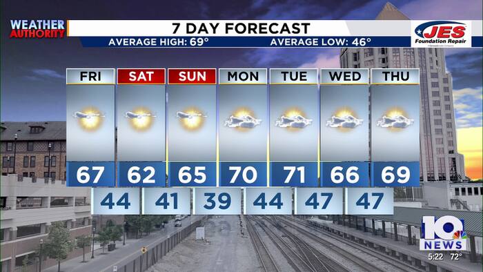 Southwest, Central Virginia Weather | 5 p.m. - Oct. 22, 2026
WSLS Southwest, Central Virginia Weather | 5 p.m. - Oct. 22, 2026 Here is a look at your Thursday evening forecast. Roanoke City Council Race Preview Washington & Lee Student released from ICE Custody ‘Home is not home…
-
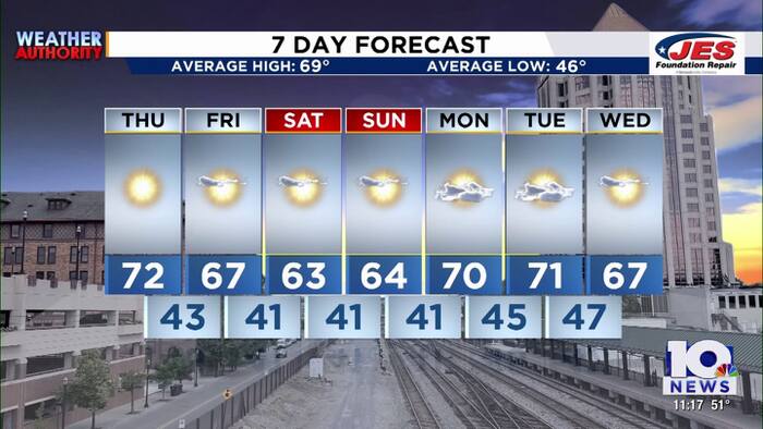 Southwest, Central Virginia Weather | 11 p.m. - Oct. 21, 2026
WSLS Southwest, Central Virginia Weather | 11 p.m. - Oct. 21, 2026 Here's a look at your forecast! Franklin County holds informational panel on data center development Roanoke County Career and Technology Center opens…
-
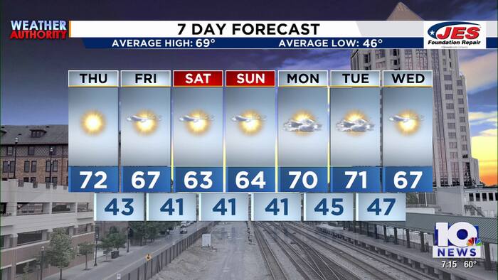 Southwest, Central Virginia Weather | 7 p.m. - Oct. 21, 2026
WSLS Southwest, Central Virginia Weather | 7 p.m. - Oct. 21, 2026 Here's a look at your forecast! Franklin County holds informational panel on data center development Roanoke County Career and Technology Center opens…
-
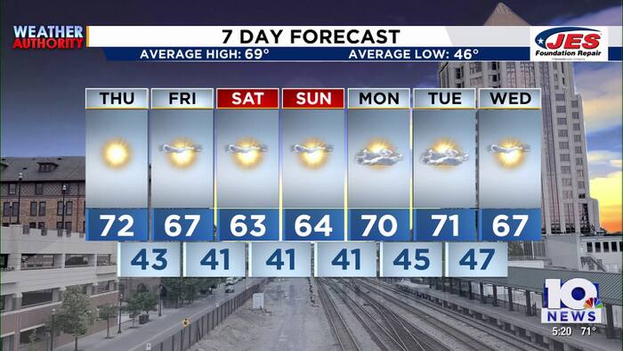 Southwest, Central Virginia Weather | 5 p.m. - Oct. 21, 2026
WSLS Southwest, Central Virginia Weather | 5 p.m. - Oct. 21, 2026 Here's a look at your forecast! Roanoke County Schools opens new career and technology center Southwest Virginia veterans, farmers talk rising costs…
-
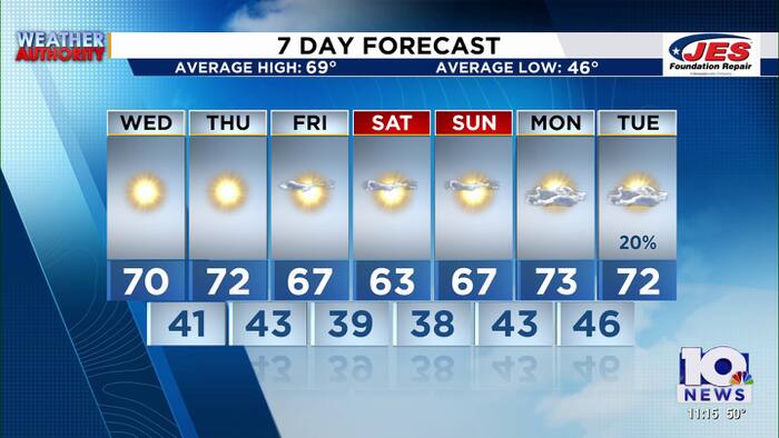 Southwest, Central Virginia Weather | 11 p.m. - Oct. 20, 2026
WSLS Southwest, Central Virginia Weather | 11 p.m. - Oct. 20, 2026 Here is a look at your Tuesday night forecast. Lynchburg City School board meets Tuesday night following report of schools underperforming Special…
-
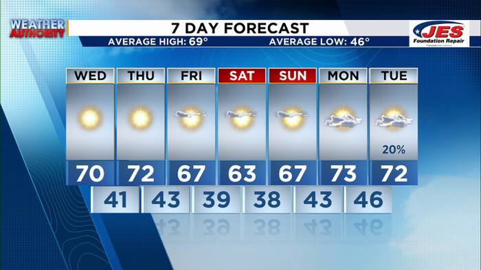 Southwest, Central Virginia Weather | 7 p.m. - Oct. 20, 2026
WSLS Southwest, Central Virginia Weather | 7 p.m. - Oct. 20, 2026 Here's a look at your forecast! Special Olympics Virginia holds 2026 Big Feet Meet 'Build My Future' career event held in Montgomery County for middle…
-
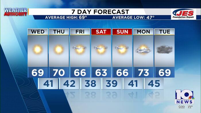 Southwest, Central Virginia Weather | 5 p.m. - Oct. 20, 2026
WSLS Southwest, Central Virginia Weather | 5 p.m. - Oct. 20, 2026 Here's a look at your forecast! Special Olympics Virginia holds 2026 Big Feet Meet 'Build My Future' career event held in Montgomery County for middle…
-
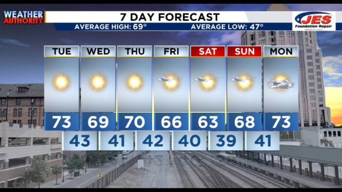 Southwest, Central Virginia Weather | 7:15 a.m. - Oct. 20, 2026
WSLS Southwest, Central Virginia Weather | 7:15 a.m. - Oct. 20, 2026 Here's a look at the morning forecast for Oct. 20, 2026. Consumer Reports: Top frozen meals that actually deliver on taste and nutrition Healthwatch…
-
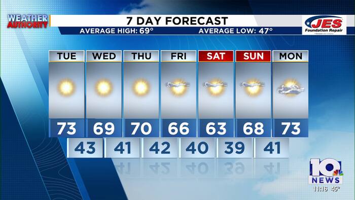 Southwest, Central Virginia Weather | 11 p.m. - Oct. 19, 2026
WSLS Southwest, Central Virginia Weather | 11 p.m. - Oct. 19, 2026 Here is a look at your Monday night forecast. Raleigh Court Library Zine Club Helps Teens Get Creative Longtime Q99 morning host David Page announces…
-
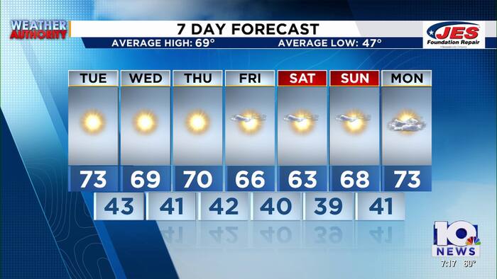 Southwest and Central Virginia Weather Update for Oct. 19
Southwest and Central Virginia forecasters have issued their evening weather update for October 19, 2026, outlining conditions across the region. The 7 p.m. briefing gives residents a snapshot of temperatures, sky…
Air quality
Air quality is satisfactory, and air pollution poses little or no risk.
Forecast
- FriGood (39)
- SatGood (33)
- SunGood (39)
Roanoke, VA reporting area · 1 hr ago. Data from AirNow (EPA and its state, local and tribal partners); preliminary and subject to change.
Sun & moon
Almanac
MonthlyRocky Mount, records since 1894. Normals 1991–2020. Data from NOAA's Regional Climate Centers (ACIS).
Nearby
- Roanoke 31 km
- Blacksburg 53 km
- Salem 36 km
- Cave Spring 28 km
- Christiansburg 48 km
- Eden 58 km
- Hollins 38 km
- Martinsville 34 km
- Vinton 32 km
- Collinsville 31 km
- Bedford 50 km
- Mount Hermon 55 km
Forecasters' discussion
From the National Weather Service office in RNK, issued 3 hrs ago
What Has Changed
Aviation updated.
Models continue to have problems with forecasting dewpoints, especially during the afternoon, which impacts the RH forecast. Continue to lower them. Low temperatures were also lowered as wedging developing over the region starting tonight, will start to advect cooler air from the Northeast down into the Mid- Atlantic states.
Key Messages
1) Dry with seasonable temperatures through the end of next week.
Discussion
KEY MESSAGE 1:Dry with seasonable temperatures through the end of next week.
The region will continue to remain under the influence of surface high pressure through next week. With high pressure and mostly clear skies over the region through the next week, temperatures look to moderate to more seasonable values in the 60s and 70s for highs each day, and 30s/40s for lows at night. Overnight temperatures were lowered some as surface wedging looks to develop tonight across the region. This will help advect cooler air from the Northeast into the Mid- Atlantic states over the next several days as high pressure remains quasi-stationary across the Northeast.
At this time, no precipitation is expected through at least the end of next week, and is not looking likely for the remainder of the month.
Aviation
VFR conditions are expected through the TAF period. There is some CAM guidance showing low clouds develop over mountain terminals to include BCB, LWB, and BLF early Saturday morning starting around 10 UTC, but confidence is low at this time given the fairly dry airmass in place to include in those terminals.
EXTENDED OUTLOOK...
VFR conditions likely to continue into next week. Any fog should be limited to over bodies of water, and not foreseeing any issues at the TAF sites.
Forecasts, observations and alerts in the United States come from the National Weather Service (NOAA); radar from NOAA's Multi-Radar Multi-Sensor system; satellite imagery from NASA's Global Imagery Browse Services (GIBS) and NOAA's GOES satellites; the map from the U.S. Geological Survey's National Map; air quality from AirNow (EPA and its partners); hurricane information from the National Hurricane Center; climate normals and records from NOAA's Regional Climate Centers (ACIS). Forecasts outside the United States and the UV index: MET Norway (CC BY 4.0); observations outside the U.S.: airport reports via NOAA's Aviation Weather Center. Place names: GeoNames (CC BY 4.0). Data are copied on a schedule and may lag the sources; for warnings that affect your safety, follow your local National Weather Service office and emergency officials. Weather news is drawn from the 4Conservative index and reflects what the press published. Terms of use.