Install
Gainesville, VA Weather
Current conditions
Observed at Washington/Dulles International Airport, DC · 23 min ago
Forecast
10-day-
Wednesday Night
Mostly clear, with a low around 44. North wind 2 to 6 mph.
-
Thursday
Sunny, with a high near 67. Northwest wind 6 to 12 mph, with gusts as high as 20 mph.
-
Thursday Night
Mostly clear, with a low around 45.
National Weather Service forecast updated 1 day ago.
Hourly
Hourly forecast- Now45°
- 5 AM44°
- 6 AM44°
- 7 AM44°
- 8 AM45°
- 9 AM48°
- 10 AM53°
- 11 AM57°
- 12 PM60°
- 1 PM63°
- 2 PM65°
- 3 PM65°
- 4 PM65°
- 5 PM64°
- 6 PM62°
- 7 PM59°
- 8 PM56°
- 9 PM55°
- 10 PM54°
- 11 PM54°
- Fri12 AM53°
- 1 AM52°
- 2 AM51°
- 3 AM50°
Daily forecast
Details- TueOct 20Sunny45°69°
- WedOct 21Sunny44°65°
- TodayOct 22Sunny45°67°
- FriOct 23Sunny38°60°
- SatOct 24Sunny38°60°
- SunOct 25Sunny41°65°
- MonOct 26Mostly Sunny49°70°
- TueOct 27Cloudy50°69°
- WedOct 28Light rain0.05 in47°64°
Days after the National Weather Service's seven are MET Norway's outlook, a computer model with no forecaster's review.
Radar
Full mapWeather news in Virginia
More weather news-
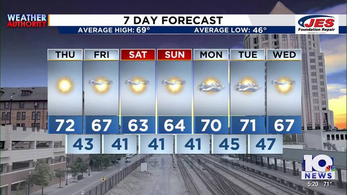 Southwest, Central Virginia Weather | 5 p.m. - Oct. 21, 2026
WSLS Southwest, Central Virginia Weather | 5 p.m. - Oct. 21, 2026 Here's a look at your forecast! Roanoke County Schools opens new career and technology center Southwest Virginia veterans, farmers talk rising costs…
-
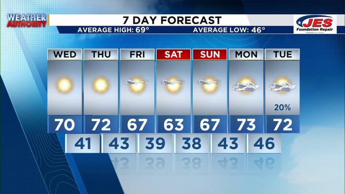 Southwest, Central Virginia Weather | 7 p.m. - Oct. 20, 2026
WSLS Southwest, Central Virginia Weather | 7 p.m. - Oct. 20, 2026 Here's a look at your forecast! Special Olympics Virginia holds 2026 Big Feet Meet 'Build My Future' career event held in Montgomery County for middle…
-
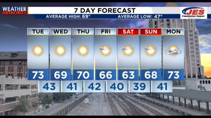 Southwest, Central Virginia Weather | 7:15 a.m. - Oct. 20, 2026
WSLS Southwest, Central Virginia Weather | 7:15 a.m. - Oct. 20, 2026 Here's a look at the morning forecast for Oct. 20, 2026. Consumer Reports: Top frozen meals that actually deliver on taste and nutrition Healthwatch…
-
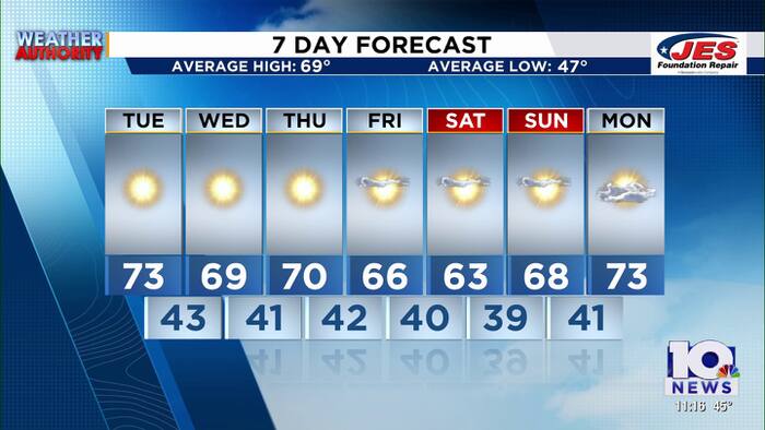 Southwest, Central Virginia Weather | 11 p.m. - Oct. 19, 2026
WSLS Southwest, Central Virginia Weather | 11 p.m. - Oct. 19, 2026 Here is a look at your Monday night forecast. Raleigh Court Library Zine Club Helps Teens Get Creative Longtime Q99 morning host David Page announces…
-
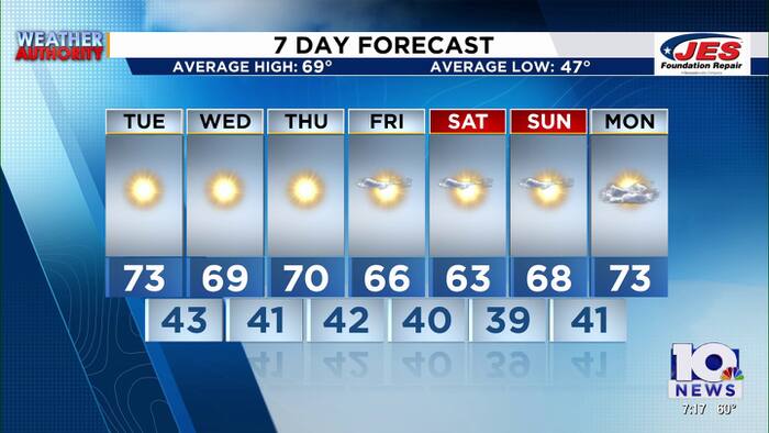 Southwest and Central Virginia Weather Update for Oct. 19
Southwest and Central Virginia forecasters have issued their evening weather update for October 19, 2026, outlining conditions across the region. The 7 p.m. briefing gives residents a snapshot of temperatures, sky…
-
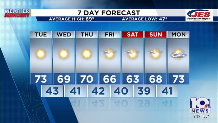 Southwest, Central Virginia Weather | 7 p.m. - Oct. 19, 2026
WSLS Southwest, Central Virginia Weather | 7 p.m. - Oct. 19, 2026 Here's a look at your forecast! Raleigh Court Library Zine Club Helps Teens Get Creative Longtime Q99 morning host David Page announces retirement after…
-
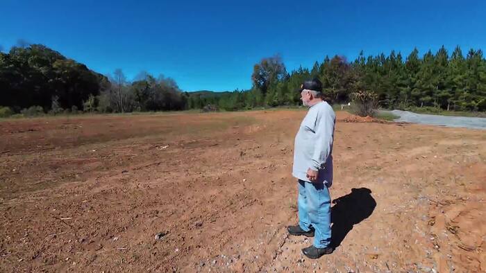 Recent rain improves drought conditions in Southwest and Central Virginia, but recovery continues
HENRY COUNTY, Va. – Tim Belcher says one of the most alarming signs of Virginia’s drought was seeing a creek on his property dry up. “The biggest scare factor that I’ve had is seeing creeks physically go dry—even on my…
-
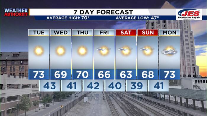 Southwest, Central Virginia Weather | 5 p.m. - Oct. 19, 2026
WSLS Southwest, Central Virginia Weather | 5 p.m. - Oct. 19, 2026 Here's a look at your forecast! Raleigh Court Library Zine Club Helps Teens Get Creative Longtime Q99 morning host David Page announces retirement after…
- Quiet and subdued weather pattern continues across the Two Virginias
The quiet weather period has been the result of an area of high pressure stalled over the Mid-Atlantic and Northeastern United States. It will continue to hold strong throughout the week and into next ... Things…
-
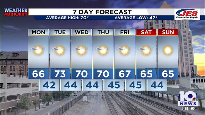 Southwest, Central Virginia Weather | 6 p.m. - Oct. 18, 2026
WSLS Southwest, Central Virginia Weather | 6 p.m. - Oct. 18, 2026 Here's a look at your forecast! 2026 Roanoke GO Outside Festival comes to a close Roanoke Indivisible holds ‘No Kings: Vote Early’ event at Eureka Park…
Air quality
Air quality is satisfactory, and air pollution poses little or no risk.
Forecast
- ThuGood (28)
- FriGood (33)
- SatGood (39)
Northern Virginia, VA reporting area · 1 hr ago. Data from AirNow (EPA and its state, local and tribal partners); preliminary and subject to change.
Sun & moon
Almanac
MonthlyVienna, records since 1948. Normals 1991–2020. Data from NOAA's Regional Climate Centers (ACIS).
Nearby
- Washington 51 km
- Arlington 45 km
- Alexandria 49 km
- Germantown 51 km
- Silver Spring 55 km
- Centreville 17 km
- Gaithersburg 53 km
- Rockville 51 km
- Dale City 32 km
- Bethesda 49 km
- Reston 30 km
- Downtown DC 53 km
Forecasters' discussion
From the National Weather Service office in LWX, issued 14 hrs ago
What Has Changed
Some adjustments made to lower dew points through Friday as NBM was too high given dry airmass. The Small Craft Advisory has been extended through Thursday evening.
Key Messages
- 1) Dry conditions and seasonable temperatures through early next week, with frost possible this weekend.
Discussion
KEY MESSAGE 1...Dry conditions and seasonable temperatures through early next week, with frost possible this weekend.
Omega block sets up across the CONUS with stout cutoff lows along the Western and Eastern coasts. Ridging across the central to eastern CONUS will maintain dry conditions over the Mid-Atlantic for the foreseeable future. Seasonal temperatures expected as highs generally reach the 60s each day, then fall back to the 30s to 40s at night. The omega block begins to shift eastward late this week, eventually breaking down over the weekend into the start of next week. This allows a series of surface high pressure systems to pass through the region, with dry cold fronts reinforcing the cooler, albeit seasonal, temperatures. One of these highs that passes directly overhead Friday into the weekend will allow for strong radiational cooling to occur. We could experience colder temps than currently forecast Friday night and Saturday night. If temps drop to the low to mid 30s along and west of I-95, frost will be possible. A slight warm up in temps to around 70F for next Monday and Tuesday.
Aviation
Prevailing VFR conditions are expected through Thursday with surface high pressure overhead. Dry conditions will prevail with light north winds today at less than 15 kts switching to the northwest Thursday. Highest winds will be at terminals (along and east of I- 95) near the waters with occasional gusts between 15-20 kts mainly during the late morning and afternoon hours. Winds will switch to the northeast Friday into Saturday at less than 15 kts.
VFR conditions continue Saturday through Monday with light and variable winds expected.
Forecasts, observations and alerts in the United States come from the National Weather Service (NOAA); radar from NOAA's Multi-Radar Multi-Sensor system; satellite imagery from NASA's Global Imagery Browse Services (GIBS) and NOAA's GOES satellites; the map from the U.S. Geological Survey's National Map; air quality from AirNow (EPA and its partners); hurricane information from the National Hurricane Center; climate normals and records from NOAA's Regional Climate Centers (ACIS). Forecasts outside the United States and the UV index: MET Norway (CC BY 4.0); observations outside the U.S.: airport reports via NOAA's Aviation Weather Center. Place names: GeoNames (CC BY 4.0). Data are copied on a schedule and may lag the sources; for warnings that affect your safety, follow your local National Weather Service office and emergency officials. Weather news is drawn from the 4Conservative index and reflects what the press published. Terms of use.