Install
Monticello, UT Weather
Current conditions
Forecast for this hour (no station report in the last two hours)
Forecast
10-day-
Thursday
Showers and thunderstorms. Cloudy, with a high near 56. South southeast wind 10 to 15 mph, with gusts as high as 30 mph. Chance of precipitation is 100%.
-
Thursday Night
Showers and thunderstorms. Cloudy, with a low around 46. South wind 15 to 25 mph, with gusts as high as 40 mph. Chance of precipitation is 100%.
-
Friday
Mostly sunny, with a high near 53. South southwest wind 5 to 25 mph, with gusts as high as 40 mph.
National Weather Service forecast updated 17 hrs ago.
Hourly
Hourly forecast- Now49°92%
- 7 AM50°92%
- 8 AM50°93%
- 9 AM51°94%
- 10 AM52°94%
- 11 AM53°94%
- 12 PM53°94%
- 1 PM54°95%
- 2 PM54°97%
- 3 PM55°98%
- 4 PM54°97%
- 5 PM54°96%
- 6 PM52°96%
- 7 PM51°96%
- 8 PM51°96%
- 9 PM50°90%
- 10 PM50°90%
- 11 PM50°90%
- Fri12 AM50°88%
- 1 AM50°88%
- 2 AM49°88%
- 3 AM49°76%
- 4 AM47°76%
- 5 AM47°76%
10-day forecast
Details- WedOct 21Showers And Thunderstorms98%48°54°
- TodayOct 22Showers And Thunderstorms98%46°56°
- FriOct 23Mostly Sunny32%40°53°
- SatOct 24Showers And Thunderstorms76%40°50°
- SunOct 25Chance Rain Showers45%38°49°
- MonOct 26Mostly Sunny38°52°
- TueOct 27Mostly Sunny38°53°
- WedOct 28Showers0.05 in34°56°
- ThuOct 29Sunny31°53°
- FriOct 30Partly cloudy34°55°
Days after the National Weather Service's seven are MET Norway's outlook, a computer model with no forecaster's review.
Radar
Full mapWeather news near Monticello
More weather news-
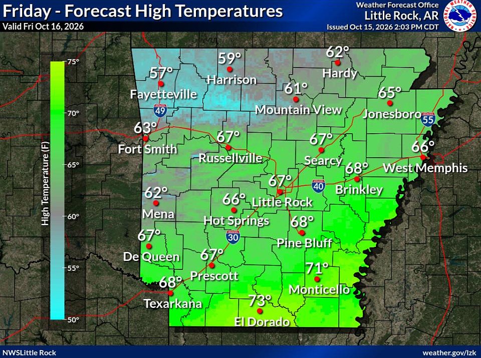 Cold front brings fall temperatures to Arkansas; forecasters warn of continued wildfire risk
The forecast holds good news for those ready for fall in Arkansas. Arkansans should feel some relief from warm temperatures Friday through next week as a cold front has brought cooler temperatures to the state. This…
-
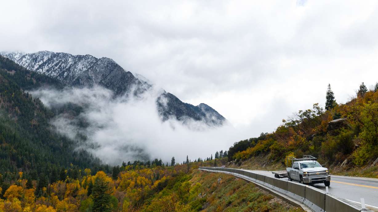 Hurricane Rachel’s Remnants Bring Record Precipitation to Drought-Stricken Utah
At SSBCrack News, our dedicated editorial team brings you the latest and most reliable updates on Defence, Geopolitics, Military Affairs, Science, and Technology. Driven by a passion for national security and strategic…
-
 NEXT Weather | 6 p.m. weather report for Oct. 15, 2026
CBS News NEXT Weather | 6 p.m. weather report for Oct. 15, 2026 NEXT Weather: 5 p.m. report on Oct. 15, 2026 Minnesota bishop keeps faith through lung cancer diagnosis Small Minnesota school mourns deaths of 3 current…
-
 Freeze watch covers much of Minnesota for Friday night into Saturday morning | Oct. 15, 2026
The watch covers counties shaded in blue on the forecast map and could be upgraded to a frost advisory or freeze warning. The Twin Cities core is likely to see lows of 32 to 35 degrees, and outlying areas, including…
-
 NEXT Weather: Noon report for Minnesota on Oct. 15, 2026
CBS News NEXT Weather: Noon report for Minnesota on Oct. 15, 2026 Minnesota company focuses on creating opportunity for farmers in Philippines WCCO’s Shayla Reaves, husband Leonard Searcy compete as American Heart…
-
 Tropical Storm Rachel’s remnants are gone, but they left a record-high benefit
The remnants of what was once Hurricane Rachel ultimately delivered big totals across drought-stricken Utah. Gauges on Big Mountain and the Mount Timpanogos Divide in the Wasatch Mountains collected at least 7.5 inches…
-
 Cold front brings nice cooldown and increased fire danger
WAPT Weâll start the day a bit warmer than yesterday Morning temperatures range from the low 60s in eastern Mississippi to around 70 degrees toward the Delta counties Patchy, dense fog will be possible this morning in…
- From Sizzle to Shiver: Minneapolis Plunges into Cloudy Fall Chill
Minneapolis woke Tuesday to cloudy skies and temperatures in the mid-50s, a sharp comedown from the city’s recent summerlike stretch. The cooler pattern sticks around through the week, with a chance of showers Thursday…
- Storm Pattern Expected Across Utah Later This Week
Isolated showers and thunderstorms are possible across parts of the area Tuesday afternoon and evening. The National Weather Service forecast discussion mentions this possibility. Widespread precipitation is expected to…
-
 Sunshine returns Sunday up north, with a few showers over southern Utah
SALT LAKE CITY — Happy Sunday, Utah! Ample sunshine returns to northern Utah today, with a chance of a few showers down south. Daytime highs remain in the upper 60s for northern valleys, with a high of 70 degrees…
Air quality
Air quality is satisfactory, and air pollution poses little or no risk.
Canyonlands National Park, UT reporting area · 1 hr ago. Data from AirNow (EPA and its state, local and tribal partners); preliminary and subject to change.
Sun & moon
Nearby
- Blanding 30 km
Forecasters' discussion
From the National Weather Service office in GJT, issued 1 day ago
Key Messages
- Widespread rain is expected tomorrow through early Friday.
- Strong to severe storms will be possible near the Four Corners...favoring southeast Utah...on Wednesday and Thursday.
- The potential for flooding increases Thursday and Friday, especially for portions of southeast Utah and southwest Colorado.
- Rainfall amounts in the southern mountains range from 1-3 inches with higher amounts of 2-4" or more possible in the San Juans and southern foothills.
Discussion
Issued at 1019 PM MDT Tue Oct 20 2026
HAZARDOUS WEATHER POSSIBLE THROUGH FRIDAY:
Remnant tropical moisture will once again take aim at the Intermountain West and Rockies. The first wave of this deeper moisture arrives to the Four Corners region by sunrise and track northeastward across the remainder of eastern Utah and western Colorado through the day before being swept away on Friday. A full array of hazards are possible with this prolonged event including river flooding, flash flooding, strong to severe thunderstorms, and snow above 12,000-13,000 feet. A Flood watch has been issued for parts of southeast Utah and southwest Colorado beginning 12 PM tomorrow and persisting through 12 PM Friday.
Tomorrow through Thursday:
The 21/00Z KGJT RAOB is sitting at 2/3 of an inch of PWAT which is already anomalous and in the 90th percentile. Impressive for mid October but just the tip of the iceberg. GOES All Layer PWAT imagery is showing the nose of true tropical mositure moving into south-central AZ this evening and should arrive to the 4 Corners in the pre-sunrise hours. PWAT is projected to push above an inch by sunset at GJT which would be a new daily record and some 300+ percent of normal. So the stage will once again be set for excessive rainfall rates and impressive total precipitation amounts through the event. This moisture will also effectively lighten and destabilize the atmosphere and allow even minimal lift to produce ascent and efficiently squeeze out this anomalous PWAT. Ascent over the next few days will aided by a strong SubTrop jet aloft tomorrow followed by the Polar jet on Thursday which is associated with the main upstream trough over the West. CAPE will be modest at best over the 4 Corners region the next few afternoons. The wind profile will however be impressive...with low level east/southeast flow over-topped by the strong southwest flow aloft. This shear will be favorable for producing periods of organized convection even though plenty of cloud cover will inhibit full surface heating. Strong outflow winds will remain the main threat but some storms will also be capable of producing larger hail. The veering profile and local terrain effects could also lead to some brief spin ups...not probable but not zero either. Lastly the CAPE profile will be long and skinny...an indication of deep warm cloud processes which favor high precipitation rates as well as high snow levels. It should be no surprise that the fertile crescent of the San Juans will also be effective at producing the ascent in this southerly flow pattern. With the fire hose pointed directly at them precipitation amounts in the 2-4 inch range are still forecast with higher amounts possible due to convection. Rain or a nighttime mix at pass level could translate to 6 to 12 inches or more of snow over the highest peaks.
Friday:
Aviation
Issued at 548 AM MDT Wed Oct 21 2026
VFR conditions and light winds are expected to persist over the next few hours for many sites. However, a weather system approaching the area will bring rain showers to KCNY within the hour. Precipitation from this system is currently in the Four Corners region, but showers will gradually become widespread today. Rain will reach KTEX, KMTJ, and KDRO within the next few hours, and then reach all other TAF sites by the afternoon. Potential impacts include periods of lower ceilings and visibility, which could lead to MVFR conditions or drops below ILS breakpoints. Strong wind gusts are also possible at a few sites.
Hydrology
Issued at 1019 PM MDT Tue Oct 20 2026
Hydrologic concerns ramp up tomorrow (Wednesday), due to the potential for thunderstorm development. Atmospheric moisture increases under strong south-southwesterly flow, lofting an abundance of warm tropical moisture across the forecast area. While bands of showers expand as early as Wednesday morning, thunderstorms are expected to move into east/southeast Utah tomorrow afternoon. Southeast Utah and lower valleys along the CO/NM border show the highest pockets of instability, which focuses the better confidence for flash flooding across desert floors and dry washes. Coverage of rainfall rates exceeding 0.5 inches in an hour remains low even 24 hours out. However, whatever embedded thunderstorms that develop tomorrow will only help saturate soils leading into the main surge of moisture expected Wednesday night through Thursday.
The bulk of precipitation remains on track for Thursday, with generally 1 to 3 inches of rain falling across the southern half the CWA within a 24 to 36 hour window. Bullseye QPFs are highest over the San Juan's, where locally higher amounts of 4 to 5 inches are possible. This system continues to track anomalously warm, as the main moisture plume remains well ahead of a cold, closed low deepening along the Pacific Coast. Thus, rain on snow is a viable concern. Snow levels are forecast above 12-13 kft throughout the day Thursday, which will likely result in melting much of the existing early-season snow pack. The combined runoff from rain and rain-on-snow will result in a rapid rise in many of our creeks, streams and rivers. Modeled responses also nudged upward across many river forecast points across southwest Colorado. We have the highest confidence in minor flooding and impacts along the San Juan River, Piedra, Animas, La Plata Rivers and above Vallecito Reservoir. However, other creeks and tributaries within the Four Corners region remain susceptible. All river responses are heavily dependent on where the heaviest precipitation falls, so please continue to monitor the forecast as the week unfolds.
Forecasts, observations and alerts in the United States come from the National Weather Service (NOAA); radar from NOAA's Multi-Radar Multi-Sensor system; satellite imagery from NASA's Global Imagery Browse Services (GIBS) and NOAA's GOES satellites; the map from the U.S. Geological Survey's National Map; air quality from AirNow (EPA and its partners); hurricane information from the National Hurricane Center; climate normals and records from NOAA's Regional Climate Centers (ACIS). Forecasts outside the United States and the UV index: MET Norway (CC BY 4.0); observations outside the U.S.: airport reports via NOAA's Aviation Weather Center. Place names: GeoNames (CC BY 4.0). Data are copied on a schedule and may lag the sources; for warnings that affect your safety, follow your local National Weather Service office and emergency officials. Weather news is drawn from the 4Conservative index and reflects what the press published. Terms of use.