Install
Kaysville, UT Weather
Current conditions
Forecast for this hour (no station report in the last two hours)
Forecast
10-day-
Saturday
Partly sunny, with a high near 57. North northwest wind 1 to 5 mph.
-
Saturday Night
Partly cloudy, with a low around 40.
-
Sunday
A slight chance of rain before noon. Mostly sunny, with a high near 57.
National Weather Service forecast updated 2 days ago.
Hourly
Hourly forecast- Now43°
- 9 AM44°
- 10 AM47°
- 11 AM51°
- 12 PM54°
- 1 PM55°
- 2 PM56°
- 3 PM57°
- 4 PM56°
- 5 PM55°
- 6 PM54°
- 7 PM52°
- 8 PM49°
- 9 PM47°
- 10 PM46°
- 11 PM45°
- Sun12 AM44°
- 1 AM43°
- 2 AM42°
- 3 AM42°
- 4 AM41°
- 5 AM41°
- 6 AM41°18%
- 7 AM41°18%
10-day forecast
Details- ThuOct 22Mostly Cloudy then Scattered Showers And Thunderstorms97%48°74°
- FriOct 23Chance Showers And Thunderstorms64%41°57°
- TodayOct 24Partly Sunny40°57°
- SunOct 25Slight Chance Light Rain then Mostly Sunny18%39°57°
- MonOct 26Mostly Sunny40°62°
- TueOct 27Mostly Sunny13%40°60°
- WedOct 28Mostly Sunny10%42°61°
- ThuOct 29Partly cloudy35°56°
- FriOct 30Cloudy42°59°
- SatOct 31Mostly sunny43°58°
Days after the National Weather Service's seven are MET Norway's outlook, a computer model with no forecaster's review.
Radar
Full mapWeather news near Kaysville
More weather news-
 Late-week storm could bring 3 to 6 inches of mountain snow
by Jill Margetts, KUTV SALT LAKE CITY (KUTV) — A few showers will continue to move through parts of southern and central Utah Monday. Some thunderstorms could develop in southeastern Utah by Monday afternoon. A few…
- Sunny Salt Lake City Weekend Before Storms Crash the Workweek
Salt Lake City is starting Saturday clear and cool, with the latest airport observation showing temperatures around 45 degrees and a light southeasterly wind before sunrise. That chill is temporary: sunshine should push…
-
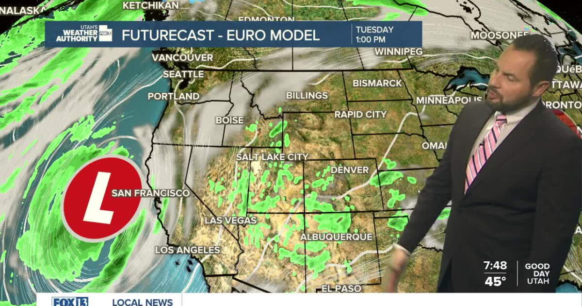 Sunshine returns Sunday up north, with a few showers over southern Utah
SALT LAKE CITY — Happy Sunday, Utah! Ample sunshine returns to northern Utah today, with a chance of a few showers down south. Daytime highs remain in the upper 60s for northern valleys, with a high of 70 degrees…
-
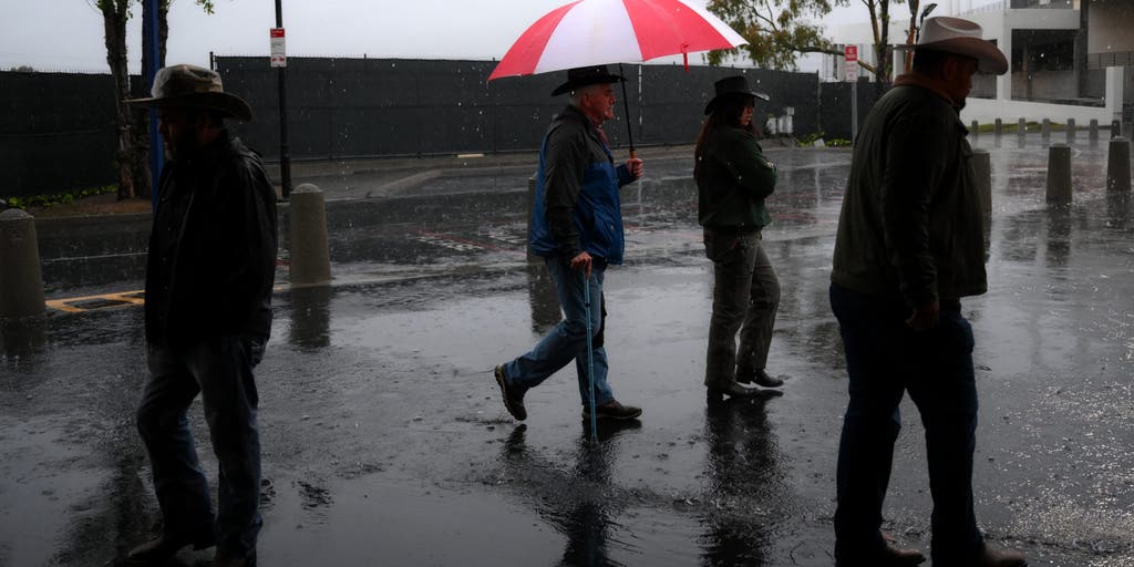 California storms could bring much-needed rain and relief to wildfire-weary areas
🔥 FIRE RELIEF: Wet weather is headed for California just in time as wildfires rage across the state, bringing much-needed relief to the fiery conditions this week. CALIFORNIA - As numerous wildfires burn across parts of…
-
 U.S. winter is likely to be wetter and warmer, forecasters say
WASHINGTON — Winter in the United States looks like it will generally be wetter and warmer, but not necessarily snowier, according to the federal government’s seasonal outlook and other meteorologists’ forecasts. You…
-
 These 5 US flight routes are among the worst for turbulence
Denver (DEN) – Jackson Hole (JAC): Tops the continental ranking with a distance of 653 kilometers and an EDR rating of 18.18 due to strong wind waves over mountain ranges. Albuquerque (ABQ) – Denver (DEN): Ties for…
- US winter is likely to be wetter and warmer, forecasters say. If you want more snow, look south
By SETH BORENSTEIN Associated Press If you want more snow, look south A person walks near the snow-covered sand at Lake Michigan in Chicago on Jan. 28. Pedestrians and cars pass through the Dumbo neighborhood of…
-
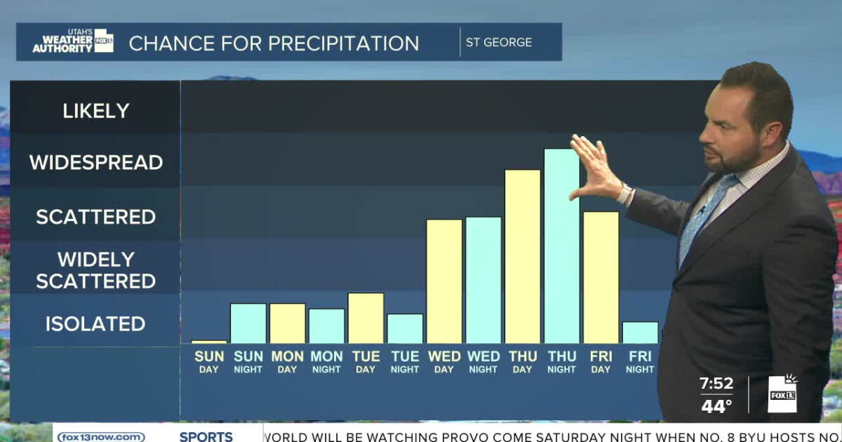 Sunshine this weekend, with increasing showers into next week
FOX 13 News Utah SALT LAKE CITY — Happy Weekend, Utah! It's a calm and dry start to the weekend with near-seasonal temperatures statewide. Daytime highs will reach the upper 60s up in northern Utah, with highs in the…
-
 Utah stays sunny through weekend before storm brings rain next week
KUTV Utah stays sunny through weekend before storm brings rain next week by Chase Thomason, KUTV SALT LAKE CITY (KUTV) — Temperatures will warm slightly through the weekend. Sunny weather will continue across northern…
-
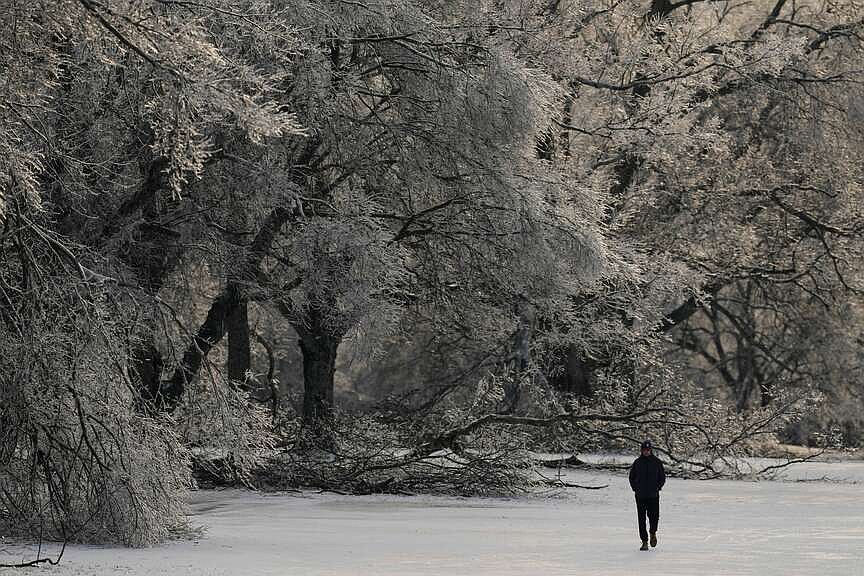 Forecasters: U.S. winter is likely to be wetter and warmer but parts of South might see more snow
WASHINGTON -- Winter in the United States looks like it will generally be wetter and warmer, but not necessarily snowier, according to the federal government's seasonal outlook and other meteorologists' forecasts. You…
Air quality
Air quality is satisfactory, and air pollution poses little or no risk.
Forecast
- SatGood
- SunGood
Ogden, UT reporting area · 1 hr ago. Data from AirNow (EPA and its state, local and tribal partners); preliminary and subject to change.
Sun & moon
Almanac
MonthlySalt Lake City Area, records since 1874. Normals 1991–2020. Data from NOAA's Regional Climate Centers (ACIS).
Nearby
- Salt Lake City 31 km
- West Valley City 39 km
- West Jordan 47 km
- Sandy 50 km
- Ogden 21 km
- Layton 4 km
- South Jordan 53 km
- Millcreek 39 km
- Taylorsville 41 km
- Murray 41 km
- Draper 57 km
- Bountiful 17 km
Forecasters' discussion
From the National Weather Service office in SLC, issued 1 day ago
Aviation
KSLC...After a quiet morning, another round of scattered showers and isolated thunderstorms will develop after 20z, continuing intermittently until 06z this evening. Breezy southerly winds this morning will gradually decrease, with high uncertainty in wind direction after 20z. Outside of any shower outflow, which may briefly change wind direction, winds will likely remain southerly through the afternoon, switching to northwesterly sometime after 00- 02z. VFR conditions will prevail.
REST OF UTAH AND SOUTHWEST WYOMING...Showers will continue to decrease in coverage across northern UT through the morning, with another round developing after 16z in far NW-UT and arriving into the Wasatch Front after 20z. Southwesterly flow statewide will gradually decrease through the afternoon, with sites slowly transitioning to light out of the northwest during the evening and overnight hours. VFR conditions will prevail for most sites, with occasional MVFR CIGs/VIS under heavier rain showers.
Slc Watches
UT...None. WY...None.
Forecasts, observations and alerts in the United States come from the National Weather Service (NOAA); radar from NOAA's Multi-Radar Multi-Sensor system; satellite imagery from NASA's Global Imagery Browse Services (GIBS) and NOAA's GOES satellites; the map from the U.S. Geological Survey's National Map; air quality from AirNow (EPA and its partners); hurricane information from the National Hurricane Center; climate normals and records from NOAA's Regional Climate Centers (ACIS). Forecasts outside the United States and the UV index: MET Norway (CC BY 4.0); observations outside the U.S.: airport reports via NOAA's Aviation Weather Center. Place names: GeoNames (CC BY 4.0). Data are copied on a schedule and may lag the sources; for warnings that affect your safety, follow your local National Weather Service office and emergency officials. Weather news is drawn from the 4Conservative index and reflects what the press published. Terms of use.