Install
Wichita Falls, TX Weather
Current conditions
Forecast for this hour (no station report in the last two hours)
Forecast
10-day-
Tonight
Mostly cloudy, with a low around 59. Southeast wind around 7 mph.
-
Monday
Mostly sunny, with a high near 80. South southeast wind 5 to 9 mph.
-
Monday Night
A slight chance of rain showers after 1am. Cloudy, with a low around 61. South southeast wind 5 to 8 mph. Chance of precipitation is 20%. New rainfall amounts less than a tenth of an inch possible.
National Weather Service forecast updated 9 hrs ago.
Hourly
Hourly forecast- Now63°
- 3 AM61°
- 4 AM61°
- 5 AM60°
- 6 AM59°
- 7 AM59°
- 8 AM59°
- 9 AM61°
- 10 AM67°
- 11 AM71°
- 12 PM74°
- 1 PM76°
- 2 PM77°
- 3 PM78°
- 4 PM78°
- 5 PM79°
- 6 PM78°
- 7 PM75°
- 8 PM73°
- 9 PM69°
- 10 PM68°
- 11 PM67°
- Tue12 AM66°
- 1 AM65°18%
10-day forecast
Details- TonightOct 25Mostly Cloudy59°
- TodayOct 26Mostly Sunny18%61°80°
- TueOct 27Chance Showers And Thunderstorms40%62°80°
- WedOct 28Mostly Sunny64°83°
- ThuOct 29Mostly Sunny then Chance Showers And Thunderstorms55%62°82°
- FriOct 30Rain Showers Likely69%60°72°
- SatOct 31Rain Showers Likely59%62°78°
- SunNov 1Mostly Sunny10%80°
- MonNov 2Mostly sunny64°85°
- TueNov 3Heavy rain1.13 in47°64°
Days after the National Weather Service's seven are MET Norway's outlook, a computer model with no forecaster's review.
Radar
Full mapWeather news near Wichita Falls
More weather news-
 Milder and cloudier
WICHITA FALLS, Texas (KAUZ) - Good morning, Texoma! We are off to a very comfortable start this morning with temperatures in the lower-50s. Skies are mostly clear. We had another round of very nice weather yesterday…
-
 Great weather ahead for the next few days
News Channel 6 | Wichita Falls, TX WICHITA FALLS, Texas (KAUZ) - Well it was another great day today with highs in the upper 70s with nothing but sunshine and a few high clouds. Temperatures are expected to cooldown…
-
 Another very nice day
News Channel 6 | Wichita Falls, TX WICHITA FALLS, Texas (KAUZ) - Good morning, Texoma! We had a really nice seasonal weather yesterday. I expect to see similar conditions today. Highs this afternoon should climb into…
-
 Another cold night tonight with warmer weather ahead
WICHITA FALLS, Texas (KAUZ) - Well, it was another chilly start to the morning across Texoma, with temperatures in the lower 40s. However, once we got into the afternoon, those numbers climbed into the upper 60s, making…
-
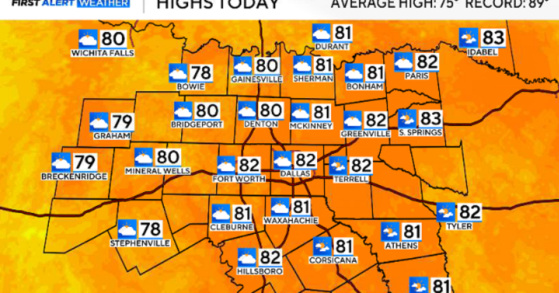 North Texas gets a warm, mild Sunday ahead of clouds and wind this week
October 25, 2026 / 6:51 AM CDT / CBS Texas Expect a warm and dry stretch of weather in North Texas over the next few days, with highs staying in the 80s, but we will see a pattern change as rain chances move in around…
-
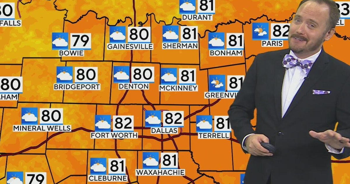 Warm, mild Sunday ahead for North Texas
CBS News Bay Area Morning Edition Weekend 6am WBZ This Morning 8am CBS Colorado Mornings Weekend CBS News Los Angeles Weekend 6am CBS Miami News Sunday Morning CBS News New York Sunday 8am KDKA News This Morning Sunday…
-
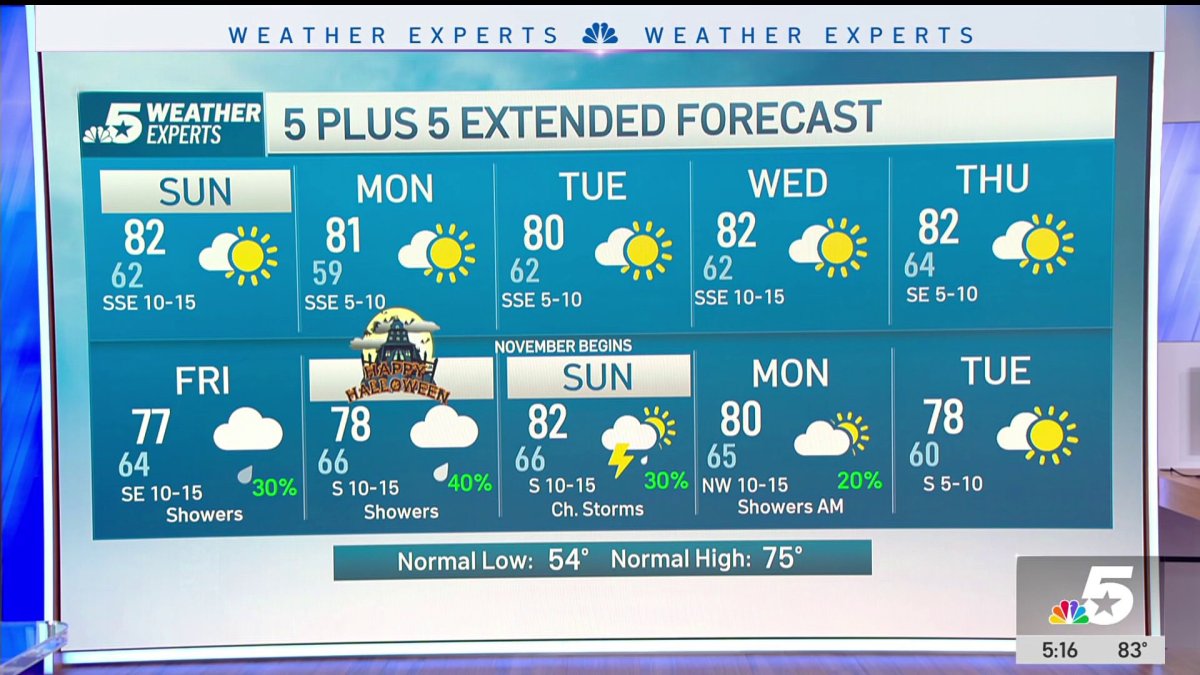 NBC 5 Forecast: A quiet weather pattern continues for North Texas
NBC 5 Dallas-Fort Worth NBC 5 Forecast: A quiet weather pattern continues for North Texas NBC 5 Forecast: Above normal temps, but still nice NBC 5 Forecast: Cool mornings and pleasant afternoons for North Texas
-
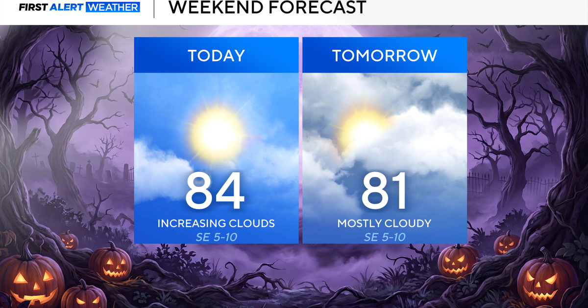 North Texas seeing rain chances return next week
October 24, 2026 / 7:21 AM CDT / CBS Texas North Texas was off to a seasonable start on Saturday morning, with temperatures mainly in the 50s. Temperatures will remain above average this weekend, with highs in the lower…
-
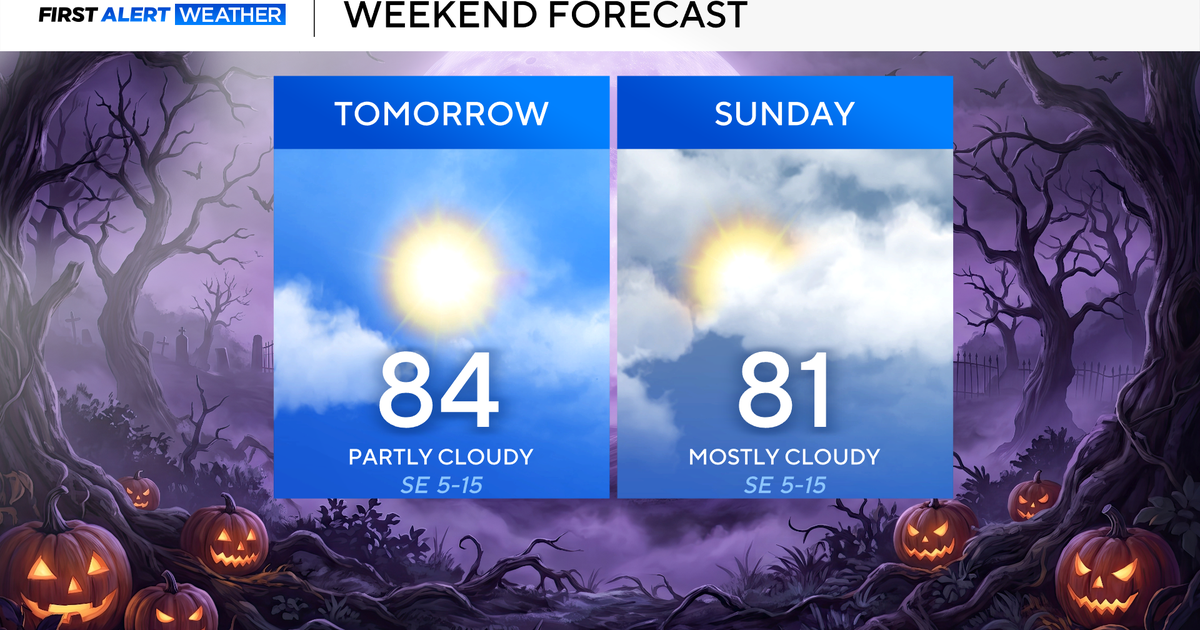 Clouds build in over the weekend as temperatures stay above average in the 80s across North Texas
October 23, 2026 / 8:00 AM CDT / CBS Texas North Texans are waking up to temperatures mainly in the 50s and 60s on Friday morning, with some clouds across portions of the area. In the afternoon and into the weekend…
- Video: What the Super El Niño Means for Texas This Winter
The Gilmer Mirror
Sun & moon
Almanac
MonthlyWichita Falls Area, records since 1908. Normals 1991–2020. Data from NOAA's Regional Climate Centers (ACIS).
Nearby
- Burkburnett 22 km
- Iowa Park 17 km
- Henrietta 30 km
- Electra 41 km
- Walters 52 km
Forecasters' discussion
From the National Weather Service office in OUN, issued 20 min ago
Key Messages
Updated at 207 AM CDT Mon Oct 26 2026
- Above normal temperatures continue.
- First wave of rainfall potential gives low chances of precipitation northwest today, but will primarily stay west of the area.
- The next chances of rain will be across the northwest half of the area tonight/Tuesday. Rain possible areawide late Thursday through the end of the week.
Near Term
(Through Monday) Issued at 207 AM CDT Mon Oct 26 2026
The upper low that had been over Arizona has opened up and is currently ejecting over the Sangre de Cristo Mountains of southern Colorado and northern New Mexico. As has been expected over the last couple of days, the trajectory of this wave remains far enough northwest of us that precipitation chances for the forecast area will remain confined to far western Oklahoma and western north Texas. Clouds will increase areawide though as the mid-level moisture axis does shift slowly eastward. This increasing cloudiness will keep temperatures near or slightly lower than yesterday in most areas, but this is still above normal for this time of year.
Short Term
(Monday night through Wednesday night) Issued at 207 AM CDT Mon Oct 26 2026
A second shortwave will approach the area tonight bringing another round of rain chances, primarily to the northwestern half of the area. As discussed the last couple of mornings, there was some uncertainty on the development of this wave, but water vapor satellite and the lightning detection network do show a shortwave over southeastern Chihuahua and northern Durango states with convection currently occurring in areas around Jimenez Chihuahua. This wave is expected to move northeast into southwest Texas this morning and approach Oklahoma tonight. Many models significantly increase the vorticity with this wave today before moving toward Oklahoma which may still be the result of convective feedback in the models. But with the increasing moisture with the mid-level moisture axis shifting east as well as increasing low-level moisture, it may not take a lot of forcing to get convection to develop, so precipitation chances do increase. But somewhat expect the forcing to be weaker than some of the models suggest, and therefore agree with WPC/NBM QPF forecasts that keep precipitation amounts lighter than explicit model forecasts.
Precipitation chances continue into Tuesday before the wave moves east of the area. The clouds and precipitation Tuesday will keep highs Tuesday similar or lower than today in general, but more sunshine Wednesday will allow temperatures to warm again back to around 10 degrees above average.
Long Term
(Thursday through Sunday) Issued at 128 AM CDT Mon Oct 26 2026
Mean troughing persists to the west through the week and into the weekend keeping temperatures above average through the forecast. The first in a series of southern stream wave moves in from the Pacific late this week with a plume of high low/mid level moisture spreading into the area ahead of the wave. Rain chances increase late Thursday and persist into Friday. After this first wave, there are differences in timing of the second wave in the models, so timing of rain chances this weekend are less certain.
Forecasts, observations and alerts in the United States come from the National Weather Service (NOAA); radar from NOAA's Multi-Radar Multi-Sensor system; satellite imagery from NASA's Global Imagery Browse Services (GIBS) and NOAA's GOES satellites; the map from the U.S. Geological Survey's National Map; air quality from AirNow (EPA and its partners); hurricane information from the National Hurricane Center; climate normals and records from NOAA's Regional Climate Centers (ACIS). Forecasts outside the United States and the UV index: MET Norway (CC BY 4.0); observations outside the U.S.: airport reports via NOAA's Aviation Weather Center. Place names: GeoNames (CC BY 4.0). Data are copied on a schedule and may lag the sources; for warnings that affect your safety, follow your local National Weather Service office and emergency officials. Weather news is drawn from the 4Conservative index and reflects what the press published. Terms of use. How to use Weather