Install
The Trails of Frisco, TX Weather
Current conditions
Observed at Dallas / Addison Airport · 1 hr ago
Forecast
10-day-
Tuesday
A slight chance of rain showers before 7am. Mostly sunny, with a high near 83. South wind 5 to 10 mph.
-
Tuesday Night
Clear, with a low around 62. South southeast wind 5 to 10 mph.
-
Wednesday
Sunny, with a high near 85. South southeast wind 5 to 10 mph, with gusts as high as 20 mph.
National Weather Service forecast updated 7 hrs ago.
Hourly
Hourly forecast- Now65°10%
- 10 AM72°
- 11 AM75°
- 12 PM78°
- 1 PM80°
- 2 PM81°
- 3 PM82°
- 4 PM83°
- 5 PM82°
- 6 PM81°
- 7 PM78°
- 8 PM74°
- 9 PM72°
- 10 PM71°
- 11 PM70°
- Wed12 AM69°
- 1 AM67°
- 2 AM66°
- 3 AM65°
- 4 AM64°
- 5 AM63°
- 6 AM63°
- 7 AM63°
- 8 AM62°
10-day forecast
Details- TonightOct 26Slight Chance Rain Showers14%61°
- TodayOct 27Slight Chance Rain Showers then Mostly Sunny12%62°83°
- WedOct 28Sunny66°85°
- ThuOct 29Partly Sunny64°83°
- FriOct 30Chance Rain Showers46%59°75°
- SatOct 31Chance Showers And Thunderstorms34%61°78°
- SunNov 1Partly Sunny24%65°82°
- MonNov 2Chance Rain Showers35%81°
- TueNov 3Partly cloudy54°69°
- WedNov 4Cloudy58°66°
Days after the National Weather Service's seven are MET Norway's outlook, a computer model with no forecaster's review.
Radar
Full mapWeather news in Texas
More weather news-
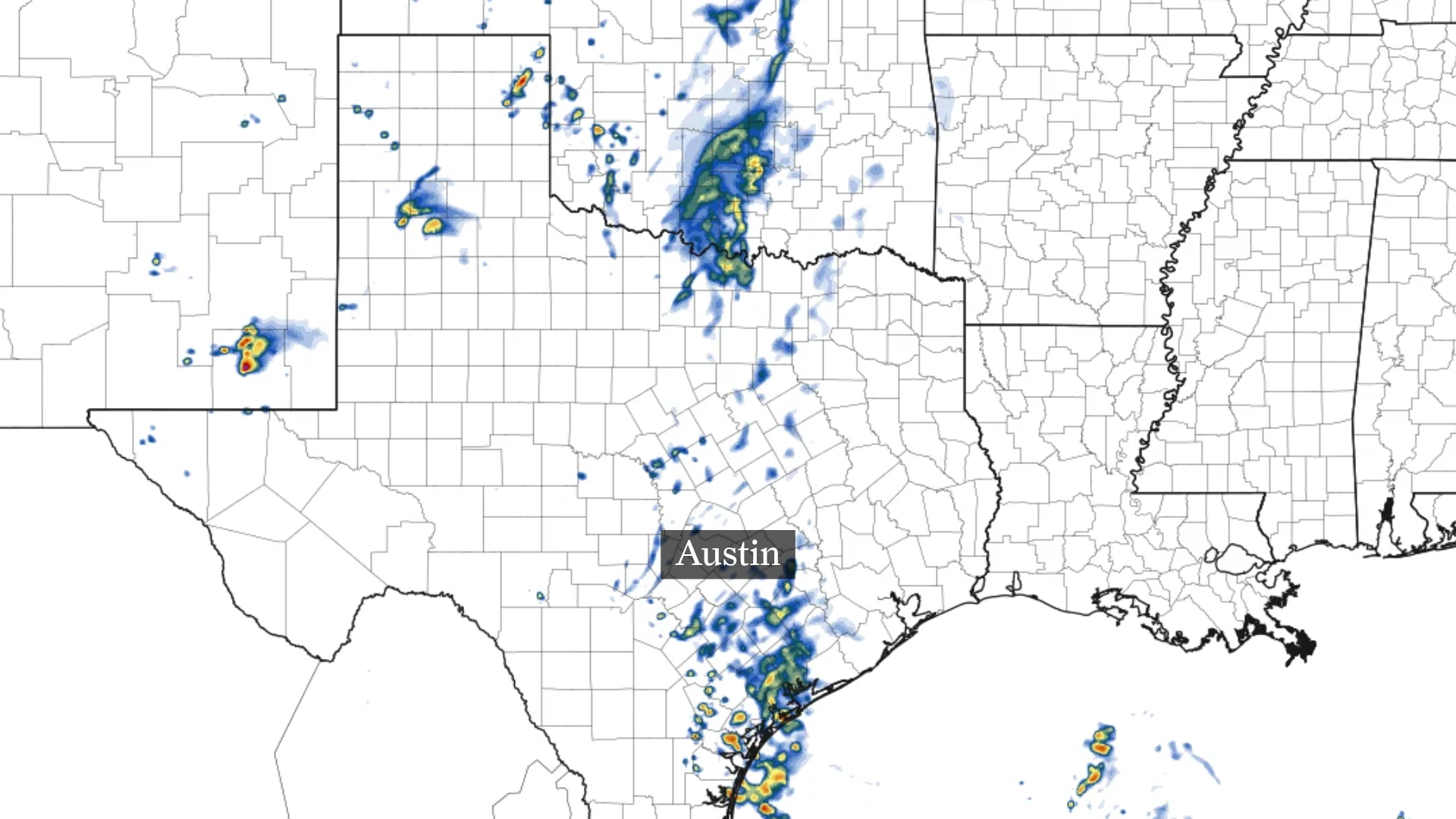 Austin weather: Could Vance in Pacific trigger rain in Central Texas?
This forecast model shows scattered showers near and south of Austin Tuesday morning. By Tuesday afternoon, a few scattered showers may approach the Austin area. Higher rain totals through Tuesday should stay well south…
-
 Rain threatens San Antonio, Central Texas this week
Rain chances tick up throughout the week leading up to Halloween in San Antonio, Texas. It's almost time for trick-or-treating in San Antonio. As we inch toward Halloween (and the big holiday season to follow), the…
-
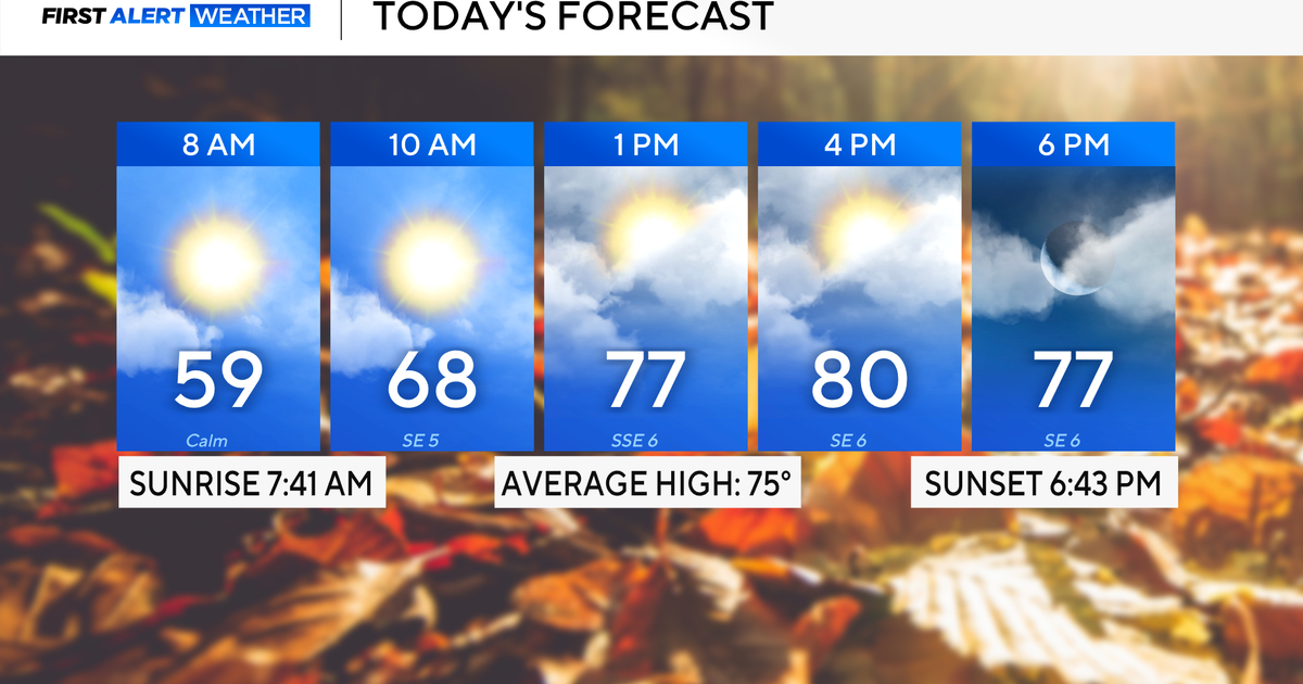 Rain chances on the rise for North Texas this week
October 26, 2026 / 8:16 AM CDT / CBS Texas North Texas woke up to partly to mostly cloudy skies and high temperatures in the 50s and 60s. You'll want to grab that light jacket as you head out the door. We'll continue to…
-
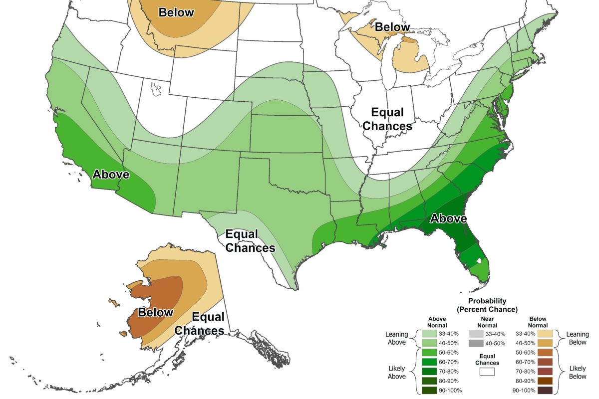 El Niño may bring higher chance of snow to North Texas this winter
By Celeste Guajardo, KERA This story is part of a partnership between KERA and Grist, a nonprofit environmental media organization. This upcoming winter will likely bring about an unusually strong El Niño, a climate…
-
 Severe storms may bring flooding to Texas this week
Heavy rain is likely to continue across the Texas Panhandle on Oct. 26, 2026, bringing even a possibility of flash flooding, per the National Weather Service. After a rainy Sunday, wet weather will likely continue to…
-
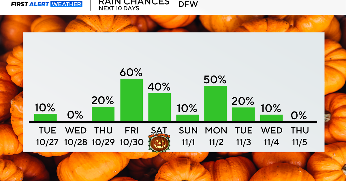 Rain chances return end of the week as temperatures remain in 70s, low 80s
Updated on: October 27, 2026 / 8:27 AM CDT / CBS Texas North Texans are waking up to mainly dry conditions Tuesday morning, with very isolated showers lingering across parts of the area. Expect a mix of clouds and sun…
-
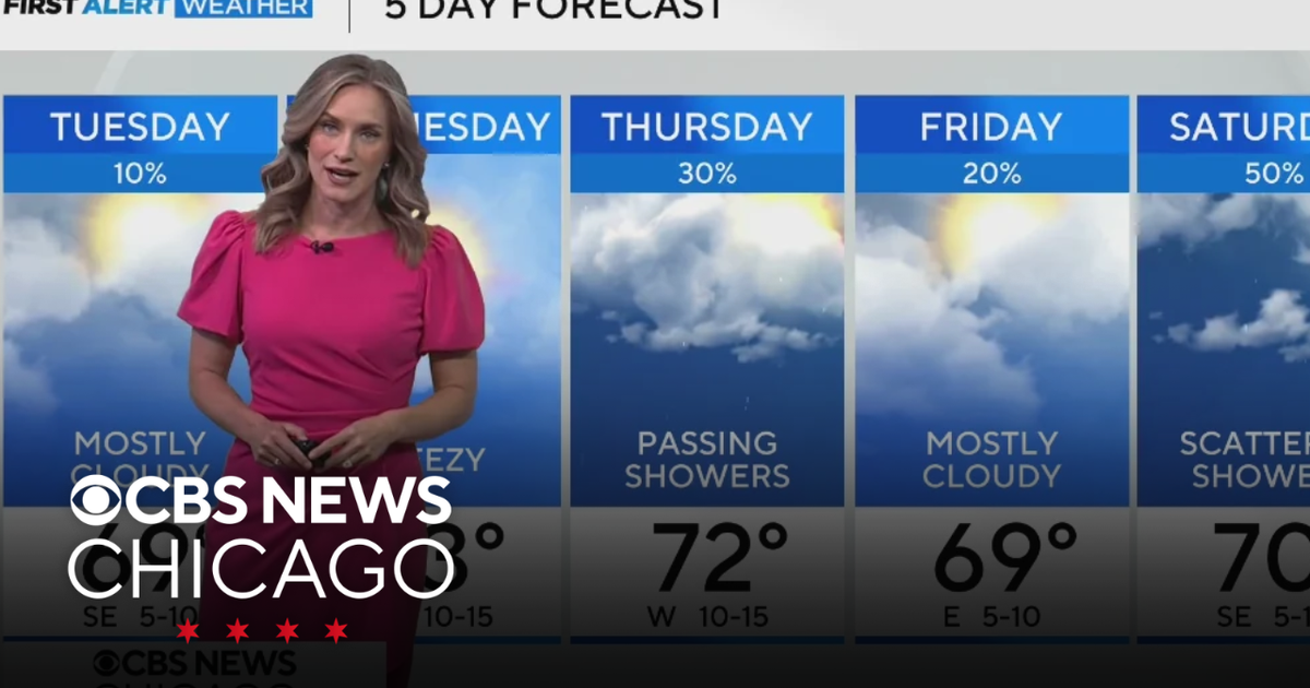 Highs near 70 degrees on Tuesday in Chicago
WBZ This Morning 6am CBS News Chicago 5am CBS News Detroit 6am CBS News Miami 6am CBS News Philadelphia 6am KDKA-TV Morning News 6am CBS News Texas 5am
-
 Clouds begin to break up this afternoon
WICHITA FALLS, Texas (KAUZ) - Good morning, Texoma! Temperature this morning are starting mostly in the upper-50s with mostly cloudy skies. We also have a few light showers across parts of the area. These rain chances…
-
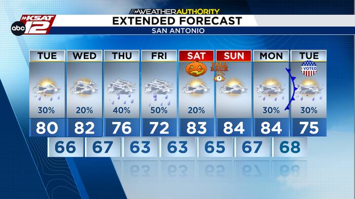 Spotty rain today, plus an update on Thursday’s chances
A few light showers are possible today and tomorrow. Deeper moisture arrives by Thursday and Friday. Justin Horne, KSAT Weather Authority Meteorologist Spotty rain today, plus an update on Thursday’s chances Balcones…
-
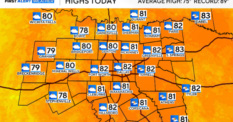 North Texas gets a warm, mild Sunday ahead of clouds and wind this week
October 25, 2026 / 6:51 AM CDT / CBS Texas Expect a warm and dry stretch of weather in North Texas over the next few days, with highs staying in the 80s, but we will see a pattern change as rain chances move in around…
Air quality
Acceptable. Unusually sensitive people should consider limiting prolonged outdoor exertion.
Forecast
- TueModerate
- WedGood
- ThuGood
Dallas-Fort Worth, TX reporting area · 1 hr ago. Data from AirNow (EPA and its state, local and tribal partners); preliminary and subject to change.
Sun & moon
Almanac
MonthlyDallas-Fort Worth Area, records since 1898. Normals 1991–2020. Data from NOAA's Regional Climate Centers (ACIS).
Nearby
- Dallas 42 km
- Arlington 52 km
- Plano 22 km
- Garland 35 km
- Irving 39 km
- Grand Prairie 48 km
- McKinney 24 km
- Frisco 5 km
- Mesquite 51 km
- Carrollton 23 km
- Denton 25 km
- Richardson 27 km
Forecasters' discussion
From the National Weather Service office in FWD, issued 3 hrs ago
Key Messages
- Above normal temperatures will continue through the workweek, with low rain chances through Wednesday.
- A change in the weather pattern is expected later this week, leading to increasing rain chances from Thursday into Saturday along with slightly cooler temperatures.
Short Term
(Tonight through Wednesday) Issued at 1149 PM CDT Mon Oct 26 2026
A shortwave disturbance is in the process of ejecting northeastward into the Central Pains early this morning, with trailing light rain falling from an attendant mid cloud deck across parts of North Texas. This light rain will not be measurable for most locations, hence PoPs of just 10% advertised in the forecast through the early morning hours today. While cloudy skies will be present to begin the day, they will accompany the shortwave off to the east later in the afternoon with only scattered high cloud cover remaining by this evening. Light south/southeast winds will continue, while highs remain above normal in the upper 70s and lower 80s.
Moist southerly flow will continue into Wednesday, and an eastward shift of the low-level moist axis will send dewpoints into the upper 50s and lower 60s locally. Although large-scale lift will be absent as modest zonal flow aloft prevails through midweek, sufficient low-level warm/moist advection may allow for a few rain showers in parts of Central Texas on Wednesday. However, this potential is presently too low to warrant any PoPs/precip mention in the public forecast. Expect another afternoon of unseasonably warm and humid conditions as a result of this warm advection regime, with highs mostly in the mid 80s.
Long Term
(Wednesday night through next Monday) Issued at 1149 PM CDT Mon Oct 26 2026
A more active extended forecast period is still expected towards the end of the week and into the weekend. Rain chances will begin to increase on Thursday west of I-35 as higher quality moisture content arrives with surface dewpoints climbing into the mid or even upper 60s. By Friday, a large-scale pattern shift to deep western CONUS troughing will allow a subtropical jet to interact with remnant moisture from a Pacific tropical system across New Mexico and Texas. This will offer fairly widespread rain chances especially near and west of I-35 Friday into Saturday. With meager instability present, this activity should consist of a broad area of beneficial rainfall with isolated embedded thunderstorms. While timing is still uncertain, it appears that Halloween festivities could largely be unaffected as much of this activity could be winding down during the daytime Saturday. Increased cloud cover may limit high temperatures to some extent both Friday and Saturday, but temps are likely to remain near or above normal without a frontal passage to accompany this system.
While the Friday/Saturday storm system will be unaccompanied by a cold frontal passage, a stronger frontal intrusion is looking increasingly likely for early next week. Most global guidance is in fairly good agreement regarding the deepening of a potent Central US upper low by early next week which would be able to send a stronger fall cold front through the area on Monday or Tuesday. This boundary would also likely offer some additional rain chances with its passage should this solution come to fruition.
Aviation
(12Z TAFS) Issued at 532 AM CDT Tue Oct 27 2026
A band of light rain/virga is moving off to the east of the TAF sites early this morning, with no additional precip expected at the airports through today. Mid and high cloud decks will gradually clear through the daytime, with VFR prevailing. An intrusion of lower cigs may occur around of just after the end of the valid TAF period on Wednesday morning, and VFR cigs near or below 4 kft may need to be addressed in subsequent TAF issuances. A south/southeast wind will continue through the period at 10 kt or less.
Forecasts, observations and alerts in the United States come from the National Weather Service (NOAA); radar from NOAA's Multi-Radar Multi-Sensor system; satellite imagery from NASA's Global Imagery Browse Services (GIBS) and NOAA's GOES satellites; the map from the U.S. Geological Survey's National Map; air quality from AirNow (EPA and its partners); hurricane information from the National Hurricane Center; climate normals and records from NOAA's Regional Climate Centers (ACIS). Forecasts outside the United States and the UV index: MET Norway (CC BY 4.0); observations outside the U.S.: airport reports via NOAA's Aviation Weather Center. Place names: GeoNames (CC BY 4.0). Data are copied on a schedule and may lag the sources; for warnings that affect your safety, follow your local National Weather Service office and emergency officials. Weather news is drawn from the 4Conservative index and reflects what the press published. Terms of use. How to use Weather