Install
Socorro Mission Number 1 Colonia, TX Weather
Current conditions
Observed at El Paso, El Paso International Airport · 57 min ago
Forecast
10-day-
Monday Night
Partly cloudy, with a low around 57. East southeast wind around 5 mph.
-
Tuesday
Mostly sunny, with a high near 77. South southeast wind around 5 mph.
-
Tuesday Night
Mostly clear, with a low around 56. East wind around 2 mph.
National Weather Service forecast updated 1 day ago.
Hourly
Hourly forecast- Now60°
- 4 AM59°
- 5 AM59°
- 6 AM58°
- 7 AM57°
- 8 AM58°
- 9 AM62°
- 10 AM66°
- 11 AM69°
- 12 PM71°
- 1 PM73°
- 2 PM75°
- 3 PM76°
- 4 PM76°
- 5 PM77°
- 6 PM75°
- 7 PM71°
- 8 PM68°
- 9 PM66°
- 10 PM64°
- 11 PM62°
- Wed12 AM61°
- 1 AM60°
- 2 AM59°
10-day forecast
Details- TonightOct 25Mostly Cloudy58°
- MonOct 26Partly Sunny then Isolated Showers And Thunderstorms16%57°76°
- TodayOct 27Mostly Sunny56°77°
- WedOct 28Mostly Sunny59°80°
- ThuOct 29Partly Sunny then Chance Showers And Thunderstorms51%58°78°
- FriOct 30Slight Chance Rain Showers then Slight Chance Showers And Thunderstorms45%57°75°
- SatOct 31Mostly Sunny15%58°75°
- SunNov 1Slight Chance Rain Showers20%77°
- MonNov 2Mostly clear0.62 in55°76°
- TueNov 3Sunny0.05 in44°71°
Days after the National Weather Service's seven are MET Norway's outlook, a computer model with no forecaster's review.
Radar
Full mapWeather news in Texas
More weather news-
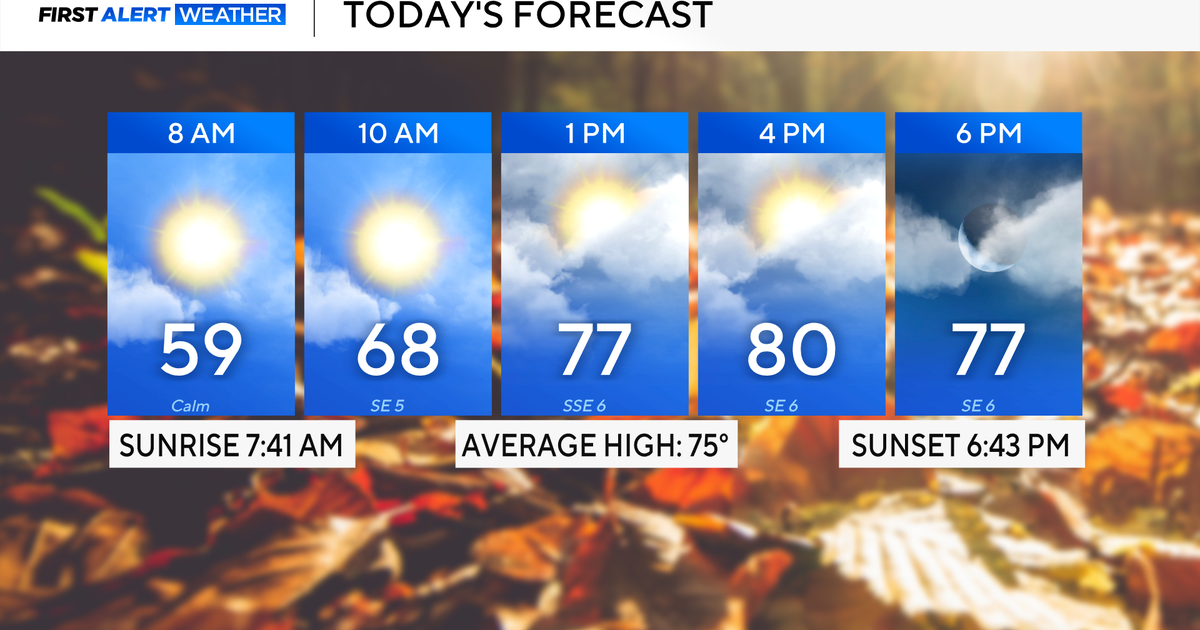 Rain chances on the rise for North Texas this week
October 26, 2026 / 8:16 AM CDT / CBS Texas North Texas woke up to partly to mostly cloudy skies and high temperatures in the 50s and 60s. You'll want to grab that light jacket as you head out the door. We'll continue to…
-
 Rain threatens San Antonio, Central Texas this week
Rain chances tick up throughout the week leading up to Halloween in San Antonio, Texas. It's almost time for trick-or-treating in San Antonio. As we inch toward Halloween (and the big holiday season to follow), the…
-
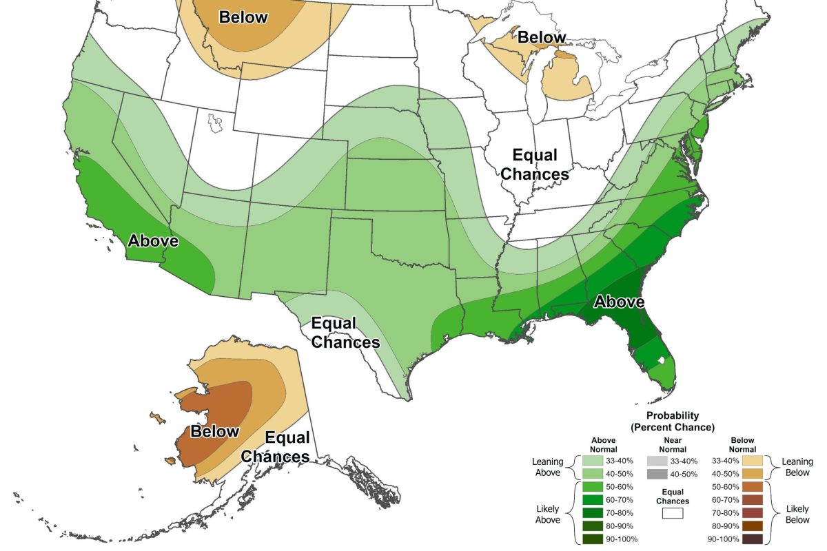 El Niño may bring higher chance of snow to North Texas this winter
By Celeste Guajardo, KERA This story is part of a partnership between KERA and Grist, a nonprofit environmental media organization. This upcoming winter will likely bring about an unusually strong El Niño, a climate…
-
 Severe storms may bring flooding to Texas this week
Heavy rain is likely to continue across the Texas Panhandle on Oct. 26, 2026, bringing even a possibility of flash flooding, per the National Weather Service. After a rainy Sunday, wet weather will likely continue to…
-
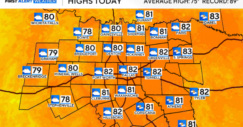 North Texas gets a warm, mild Sunday ahead of clouds and wind this week
October 25, 2026 / 6:51 AM CDT / CBS Texas Expect a warm and dry stretch of weather in North Texas over the next few days, with highs staying in the 80s, but we will see a pattern change as rain chances move in around…
-
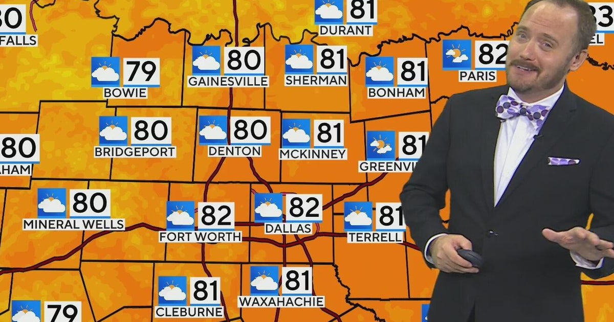 Warm, mild Sunday ahead for North Texas
CBS News Bay Area Morning Edition Weekend 6am WBZ This Morning 8am CBS Colorado Mornings Weekend CBS News Los Angeles Weekend 6am CBS Miami News Sunday Morning CBS News New York Sunday 8am KDKA News This Morning Sunday…
-
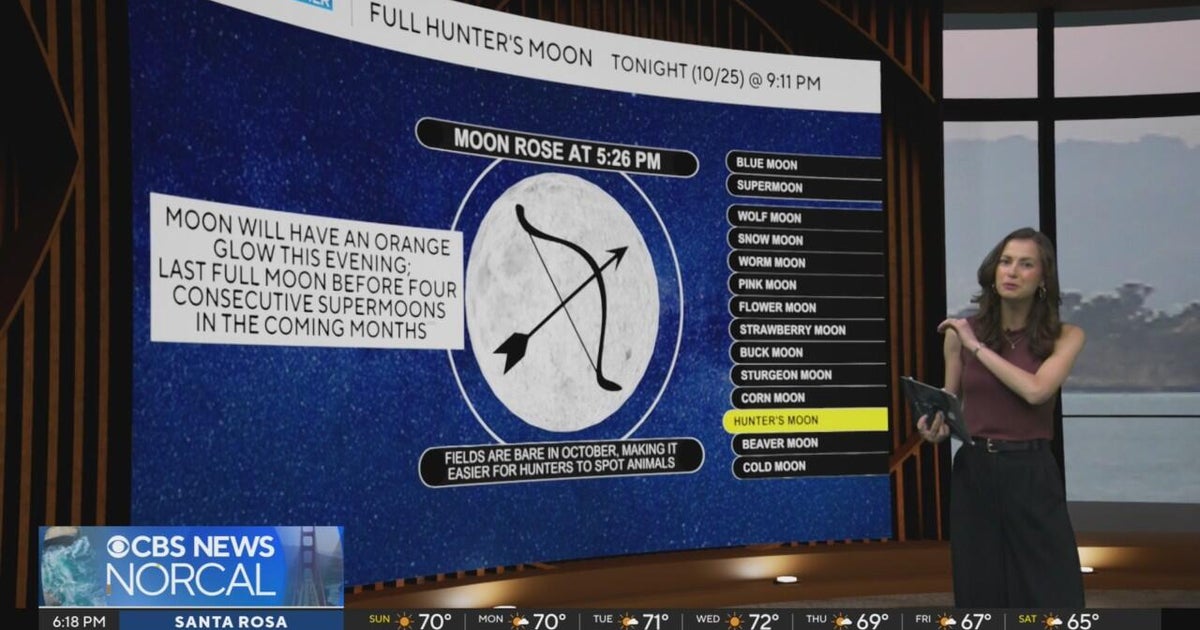 First Alert Weather Sunday evening forecast 10-25-26
CBS News Bay Area Evening Edition Weekend 6pm CBS News Detroit Weekend 6:30pm CBS News Miami 6:30pm CBS Philadelphia at 6:30pm KDKA News Weekend 10pm Your Community Stories From Your Reporters CBS News Texas 5:30pm
-
 Next Weather: WBZ Evening Update for Oct. 25
CBS News Colorado Weekend 5pm CBS News Detroit Weekend 6:30pm CBS News Miami 6:30pm CBS Philadelphia at 6:30pm KDKA News Weekends 6:30pm CBS News Texas 5:30pm
-
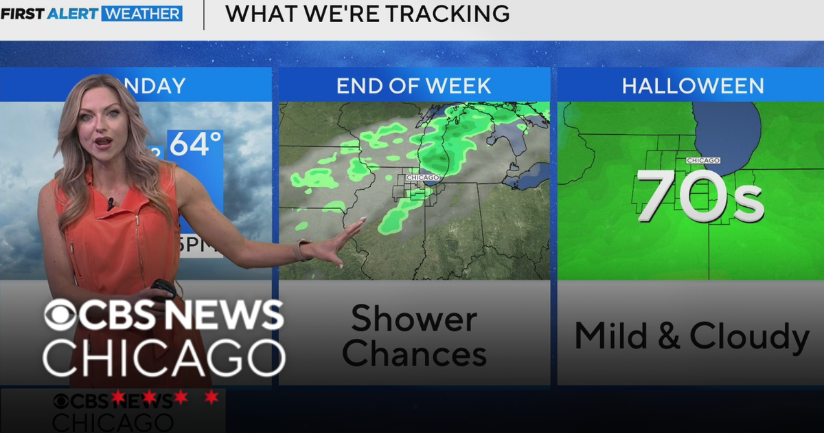 Areas of fog in Chicago Sunday night
CBS News Colorado Weekend 5pm CBS News Detroit Weekend 6:30pm CBS News Miami 6:30pm CBS Philadelphia at 6:30pm KDKA News Weekends 6:30pm CBS News Texas 5:30pm
-
 Groton digs out from a foot of snow during nor'easter
March 14, 2023 / 5:01 PM EDT / CBS Boston GROTON - During Tuesday's nor'easter several communities experienced a wide variety of precipitations. Groton was not one of them. The snow fell consistently starting before…
Air quality
Acceptable. Unusually sensitive people should consider limiting prolonged outdoor exertion.
Forecast
- TueGood
- WedGood
- ThuGood
El Paso, TX reporting area · 1 hr ago. Data from AirNow (EPA and its state, local and tribal partners); preliminary and subject to change.
Sun & moon
Almanac
MonthlyEl Paso Area, records since 1887. Normals 1991–2020. Data from NOAA's Regional Climate Centers (ACIS).
Nearby
- Ciudad Juárez 19 km
- El Paso 23 km
- Socorro 2 km
- Horizon City 10 km
- Sunland Park 33 km
- Chaparral 44 km
- Anthony 51 km
- San Elizario 6 km
- Fort Bliss 23 km
- Fabens 19 km
- Homestead Meadows South 23 km
- Canutillo 42 km
Forecasters' discussion
From the National Weather Service office in EPZ, issued 4 hrs ago
Key Messages
Updated at 943 PM MDT Mon Oct 26 2026
- Slight chance of showers and thunderstorms continues around El Paso overnight.
- A brief stretch of drier weather Tuesday and Wednesday before rain chances return Thursday and Friday with localized flooding. More rain chances for Sunday.
- Temperatures will remain near normal with lowland highs in the mid to upper 70s through midweek.
Discussion
Issued at 943 PM MDT Mon Oct 26 2026
Current satellite imagery shows a moisture boundary progressing NW over EP with building clouds south of the metro area. CAMs, particularly the HREF, are showing isolated showers developing along this boundary overnight (1-3am), pushing northeastward through the lower valley/Horizon City area. Rain amounts should be light (0.1-0.25"), but high-end rainfall of 1" is possible based on the HREF. The REFS is much more bearish on rain chances (~10%) and amounts in east El Paso overnight.
Clearing is forecast by sunrise with high low-level humidity and light winds resulting in patchy fog east of the RGV. For Tue, zonal flow takes over, pushing much of the moisture eastward and ending storm chances other than along the Hudspeth/Culberson line. Winds become modestly breezy from the SW in the afternoon for northern areas. Similar wx is forecast on Wed as the flow aloft turns SW, starting to pull moisture northward out of Mexico.
Moisture advection intensifies through Thu as a shortwave trough approaches and provides forcing for ascent. This disturbance will result in scattered to widespread showers and embedded t-storms Thu afternoon and night, especially E of the RGV. With modest instability and weak shear, severe storms are not anticipated from this system. However, there is a low risk of flash flooding due to repeated showers/storms. 90th %-ile NBM shows 1.5-2.5" E of US 54 through Thu night. The flood threat and rain chances will lower as you head west. A weaker shortwave moves in from the SW for Fri, bringing better rain chances to western areas. For Fri, the flood threat favors the Gila Region, but lower overall compared to Thu. Zonal flow and drier air returns on Sat. Seasonal temps, higher clouds, and generally light winds are forecast for Halloween.
The next trough arrives for Sun, bringing more clouds and rain chances Sun/Mon. NM will be favored for rain early next week with drier conditions in far west TX. Western areas and the high terrain are most likely to see flash flooding, but confidence is low. Breezy winds should accompany the trough/frontal passage on Sun. Temps will be near normal through midweek, then cooling a bit early next week behind the Pacific front.
Aviation
(06Z TAFS) Issued at 943 PM MDT Mon Oct 26 2026
VFR conditions prevail through the period. Still a slight chance (10-20%) of isolated showers near or just SE of KELP from 7-9z, then clearing. TS not expected. Otherwise, mainly SKC. Winds AOB 6kts through AM, then gusting to upper teens from S at KTCS in the afternoon. Light winds elsewhere.
Fire Weather
Issued at 1114 AM MDT Mon Oct 26 2026
Not much in the way of concerns for fire weather this week, as other than a brief dry spell Tuesday and Wednesday, we remain in the pattern for chances of rain through the weekend. There will a slight chance of thunderstorms this evening over the Sacramento/Capitan Mtns this evening before the mid-week dry spell. No significant winds are expected this week outside of erratic winds near thunderstorms.
Min RHs: Lowlands 25% west to 45% east through Wednesday, increasing to 40s-50% all lowlands Thursday into the weekend. Gila/Black Range...25-35% through Thursday increasing to 50-70% Friday and the weekend. Sacramento/Capitan Mtns...40-55% through Thursday, increasing to 55-75% Friday and the weekend. Vent rates poor-fair through Saturday.
Forecasts, observations and alerts in the United States come from the National Weather Service (NOAA); radar from NOAA's Multi-Radar Multi-Sensor system; satellite imagery from NASA's Global Imagery Browse Services (GIBS) and NOAA's GOES satellites; the map from the U.S. Geological Survey's National Map; air quality from AirNow (EPA and its partners); hurricane information from the National Hurricane Center; climate normals and records from NOAA's Regional Climate Centers (ACIS). Forecasts outside the United States and the UV index: MET Norway (CC BY 4.0); observations outside the U.S.: airport reports via NOAA's Aviation Weather Center. Place names: GeoNames (CC BY 4.0). Data are copied on a schedule and may lag the sources; for warnings that affect your safety, follow your local National Weather Service office and emergency officials. Weather news is drawn from the 4Conservative index and reflects what the press published. Terms of use. How to use Weather