Install
Panorama Village, TX Weather
Current conditions
Observed at Houston, Hooks Memorial Airport · 53 min ago
Forecast
10-day-
Monday
Partly sunny, with a high near 82.
-
Monday Night
Mostly cloudy, with a low around 58.
-
Tuesday
A slight chance of rain showers after 7am. Partly sunny, with a high near 79. Chance of precipitation is 20%.
National Weather Service forecast updated 4 days ago.
Hourly
Hourly forecast- Now80°
- 6 PM77°
- 7 PM74°
- 8 PM71°
- 9 PM67°
- 10 PM64°
- 11 PM62°
- Tue12 AM62°
- 1 AM61°
- 2 AM60°
- 3 AM59°
- 4 AM59°
- 5 AM58°
- 6 AM58°
- 7 AM59°15%
- 8 AM61°15%
- 9 AM65°15%
- 10 AM68°15%
- 11 AM71°15%
- 12 PM75°15%
- 1 PM77°17%
- 2 PM78°17%
- 3 PM79°17%
- 4 PM78°17%
10-day forecast
Details- ThuOct 22Sunny56°84°
- FriOct 23Sunny58°85°
- SatOct 24Sunny59°84°
- SunOct 25Partly Sunny57°80°
- TodayOct 26Partly Sunny58°82°
- TueOct 27Slight Chance Rain Showers17%57°79°
- WedOct 28Sunny57°80°
- ThuOct 29Light showers0.04 in66°82°
- FriOct 30Light rain0.26 in64°80°
- SatOct 31Heavy rain0.61 in64°79°
Days after the National Weather Service's seven are MET Norway's outlook, a computer model with no forecaster's review.
Radar
Full mapWeather news in Texas
More weather news-
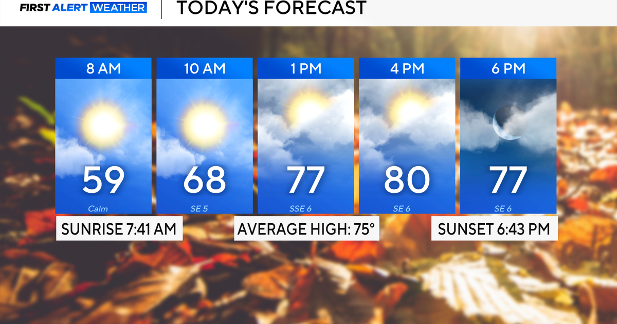 Rain chances on the rise for North Texas this week
October 26, 2026 / 8:16 AM CDT / CBS Texas North Texas woke up to partly to mostly cloudy skies and high temperatures in the 50s and 60s. You'll want to grab that light jacket as you head out the door. We'll continue to…
-
 Severe storms may bring flooding to Texas this week
Heavy rain is likely to continue across the Texas Panhandle on Oct. 26, 2026, bringing even a possibility of flash flooding, per the National Weather Service. After a rainy Sunday, wet weather will likely continue to…
-
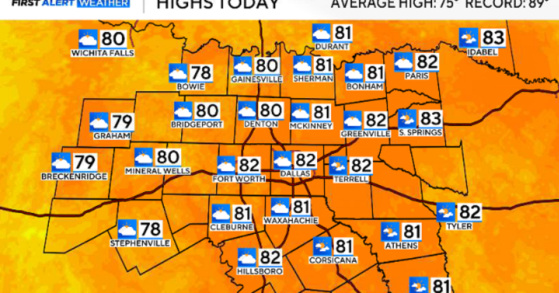 North Texas gets a warm, mild Sunday ahead of clouds and wind this week
October 25, 2026 / 6:51 AM CDT / CBS Texas Expect a warm and dry stretch of weather in North Texas over the next few days, with highs staying in the 80s, but we will see a pattern change as rain chances move in around…
-
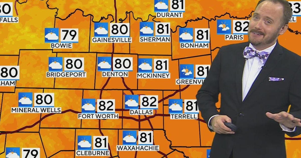 Warm, mild Sunday ahead for North Texas
CBS News Bay Area Morning Edition Weekend 6am WBZ This Morning 8am CBS Colorado Mornings Weekend CBS News Los Angeles Weekend 6am CBS Miami News Sunday Morning CBS News New York Sunday 8am KDKA News This Morning Sunday…
-
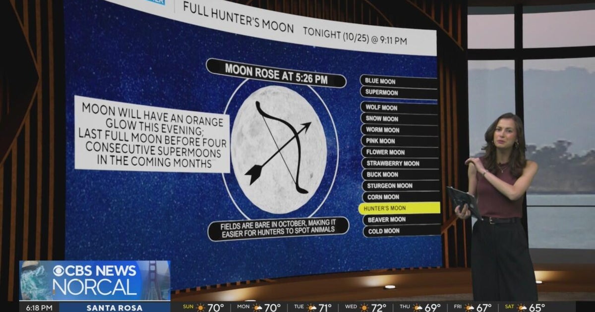 First Alert Weather Sunday evening forecast 10-25-26
CBS News Bay Area Evening Edition Weekend 6pm CBS News Detroit Weekend 6:30pm CBS News Miami 6:30pm CBS Philadelphia at 6:30pm KDKA News Weekend 10pm Your Community Stories From Your Reporters CBS News Texas 5:30pm
-
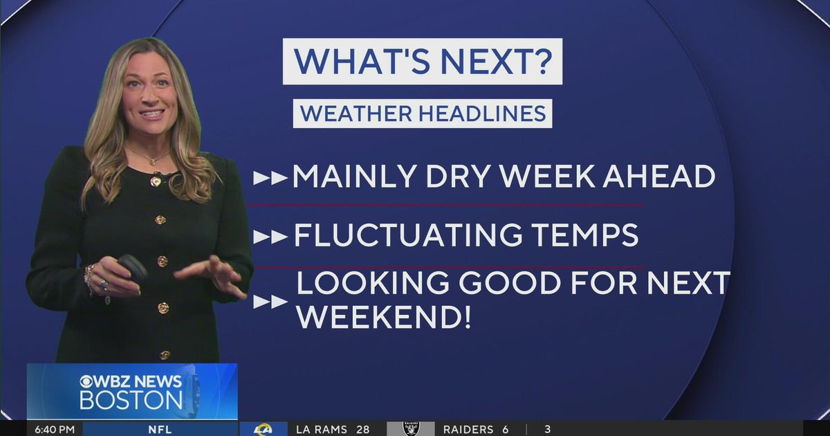 Next Weather: WBZ Evening Update for Oct. 25
CBS News Colorado Weekend 5pm CBS News Detroit Weekend 6:30pm CBS News Miami 6:30pm CBS Philadelphia at 6:30pm KDKA News Weekends 6:30pm CBS News Texas 5:30pm
-
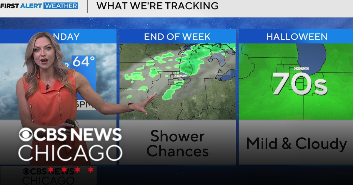 Areas of fog in Chicago Sunday night
CBS News Colorado Weekend 5pm CBS News Detroit Weekend 6:30pm CBS News Miami 6:30pm CBS Philadelphia at 6:30pm KDKA News Weekends 6:30pm CBS News Texas 5:30pm
-
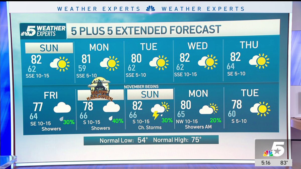 NBC 5 Forecast: A quiet weather pattern continues for North Texas
NBC 5 Dallas-Fort Worth NBC 5 Forecast: A quiet weather pattern continues for North Texas NBC 5 Forecast: Above normal temps, but still nice NBC 5 Forecast: Cool mornings and pleasant afternoons for North Texas
-
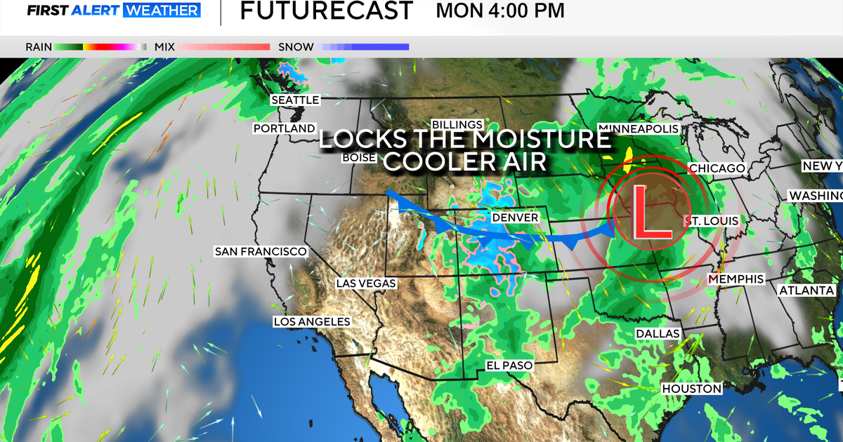 Colorado's dry week could end with a big storm bringing heavy rain and mountain snow
October 26, 2026 / 12:52 PM MDT / CBS Colorado Another storm is looming in Colorado's extended forecast, and we've seen this play out before. The script remains familiar: A surge of Pacific moisture moves into the…
-
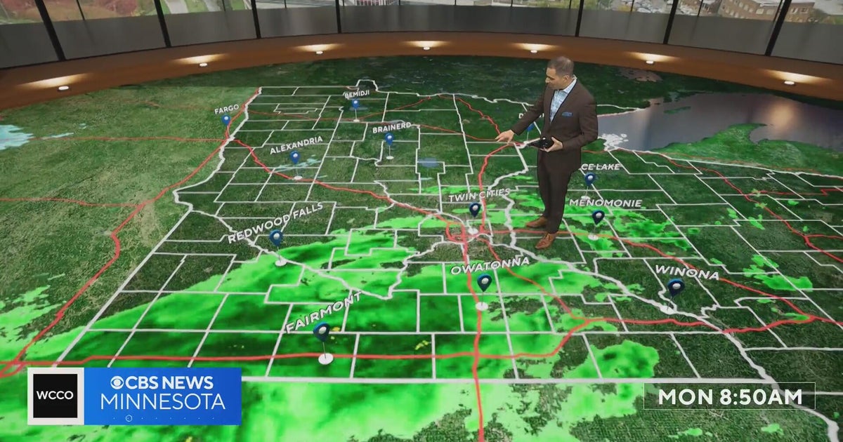 This October is on track to be one of the warmest on record in the Twin Cities | Oct. 26, 2026
CBS News Minnesota is a local news organization that is part of CBS News and Stations. Also referred to as WCCO-TV and channel 4, CBS News Minnesota offers local breaking news, weather coverage and investigative…
Air quality
Acceptable. Unusually sensitive people should consider limiting prolonged outdoor exertion.
Forecast
- MonModerate
- TueModerate
- WedModerate
Houston-Galveston-Brazoria, TX reporting area · 1 hr ago. Data from AirNow (EPA and its state, local and tribal partners); preliminary and subject to change.
Sun & moon
Almanac
MonthlyConroe, records since 1897. Normals 1991–2020. Data from NOAA's Regional Climate Centers (ACIS).
Nearby
- Cypress 50 km
- The Woodlands 25 km
- Conroe 8 km
- Spring 34 km
- Huntsville 38 km
- New Caney 37 km
- Humble 48 km
- Tomball 34 km
- West Livingston 59 km
- Jersey Village 55 km
- Cleveland 39 km
- Navasota 57 km
Forecasters' discussion
From the National Weather Service office in HGX, issued 5 hrs ago
Key Messages
- Some increasing mid-upper level cloud cover Tuesday and Wednesday.
- Most locations will remain dry, though locations west of the metro area may see some isolated to scattered precipitation.
- Rain chances slightly increase Friday into the weekend in association with some upper level disturbances passing through Texas.
Discussion
Issued at 1155 AM CDT Mon Oct 26 2026
In general, the weather should remain about status quo for most locations for the next several days with dominate low level ridging across the eastern CONUS stretching into Texas. One cannot rule out an isolated shower or two along the southern 2 tiers of counties nearest the coast and offshore through Thursday, but most of the area should remain dry. One exception, however, could be west and southwest of the metro area (Matagorda Bay-Brenham region) on Tue- Wed. This will be where higher moisture availability will be situated, and with the combination of some heating and weak passing mid level disturbances, scattered shra/tstms could be initiated. There will be some increased mid-upper cloudiness areawide, so temperatures should be a degree or three cooler than we've seen the past couple days.
Heading into late week and into the weekend, mid level ridging should be suppressed further south and east of the region. This will set up a somewhat messy southwest flow aloft with the potential for some embedded impulses to track across Mexico into portions Texas. Trajectory and timing of these impulses are uncertain this far in advance. Much of the latest deterministic guidance seems to track a fair portion of these disturbances just to the nw/n of the region, but time will tell. Think the ongoing 20-35% POPs in the fcst will suffice for most of the CWA for now. 47
Aviation
(18Z TAF Issuance) Issued at 1155 AM CDT Mon Oct 26 2026
VFR conditions through the TAF period. Light ESE-SE winds this afternoon decrease and become VRB overnight. Winds settle out of the ESE-SE once again late tomorrow morning. There is chance for some isolated showers tomorrow afternoon at sites west of I-45, though chances are too low to mention in the TAF.
MLG
Marine
Issued at 1155 AM CDT Mon Oct 26 2026
A long easterly fetch situated across the northern Gulf will maintain 3 to 5 seas for much of the week. Some isolated to scattered showers and thunderstorms are possible at times as weak disturbances pass through, with the better chances generally situated offshore and near the Matagorda Bay region through the work week. 47
Forecasts, observations and alerts in the United States come from the National Weather Service (NOAA); radar from NOAA's Multi-Radar Multi-Sensor system; satellite imagery from NASA's Global Imagery Browse Services (GIBS) and NOAA's GOES satellites; the map from the U.S. Geological Survey's National Map; air quality from AirNow (EPA and its partners); hurricane information from the National Hurricane Center; climate normals and records from NOAA's Regional Climate Centers (ACIS). Forecasts outside the United States and the UV index: MET Norway (CC BY 4.0); observations outside the U.S.: airport reports via NOAA's Aviation Weather Center. Place names: GeoNames (CC BY 4.0). Data are copied on a schedule and may lag the sources; for warnings that affect your safety, follow your local National Weather Service office and emergency officials. Weather news is drawn from the 4Conservative index and reflects what the press published. Terms of use. How to use Weather