Install
Panhandle, TX Weather
Current conditions
Observed at Amarillo, Amarillo International Airport · 29 min ago
Forecast
10-day-
Tonight
Clear, with a low around 56. South wind 10 to 15 mph, with gusts as high as 25 mph.
-
Wednesday
Sunny, with a high near 81. West southwest wind 5 to 10 mph.
-
Wednesday Night
Partly cloudy, with a low around 57. South southeast wind 5 to 10 mph.
National Weather Service forecast updated 3 hrs ago.
Hourly
Hourly forecast- Now61°
- 11 PM60°
- Wed12 AM59°
- 1 AM59°
- 2 AM58°
- 3 AM58°
- 4 AM57°
- 5 AM56°
- 6 AM56°
- 7 AM56°
- 8 AM56°
- 9 AM58°
- 10 AM63°
- 11 AM67°
- 12 PM71°
- 1 PM74°
- 2 PM77°
- 3 PM79°
- 4 PM79°
- 5 PM80°
- 6 PM78°
- 7 PM75°
- 8 PM72°
- 9 PM67°
10-day forecast
Details- TonightOct 20Clear56°
- WedOct 21Sunny57°81°
- ThuOct 22Mostly Sunny57°78°
- FriOct 23Partly Sunny16%56°74°
- SatOct 24Chance Rain Showers66%55°68°
- SunOct 25Showers And Thunderstorms Likely69%52°62°
- MonOct 26Chance Rain Showers50%50°61°
- TueOct 27Chance Rain Showers36%60°
- WedOct 28Sunny35°57°
- ThuOct 29Sunny38°66°
Days after the National Weather Service's seven are MET Norway's outlook, a computer model with no forecaster's review.
Radar
Full mapWeather news near Panhandle
More weather news-
 Heavy snow for the Interior and Northwest, heavy rain for the Panhandle, and a wintry mix for Southcentral
Today's Alaska weather forecast from Alaska's Weather Source. ANCHORAGE, AK (Alaska’s News Source) - An intense storm in the Bering Sea with an associated front is moving in on Southwest Alaska with clouds beginning to…
-
 Texas braces for warming trend after shocking cold front
Will fall conditons end anytime soon in Texas? The National Weather Service says a warming trend is in store for the state. How long will cooler, fall-like temperatures hang on across Texas? Forecasters with the…
-
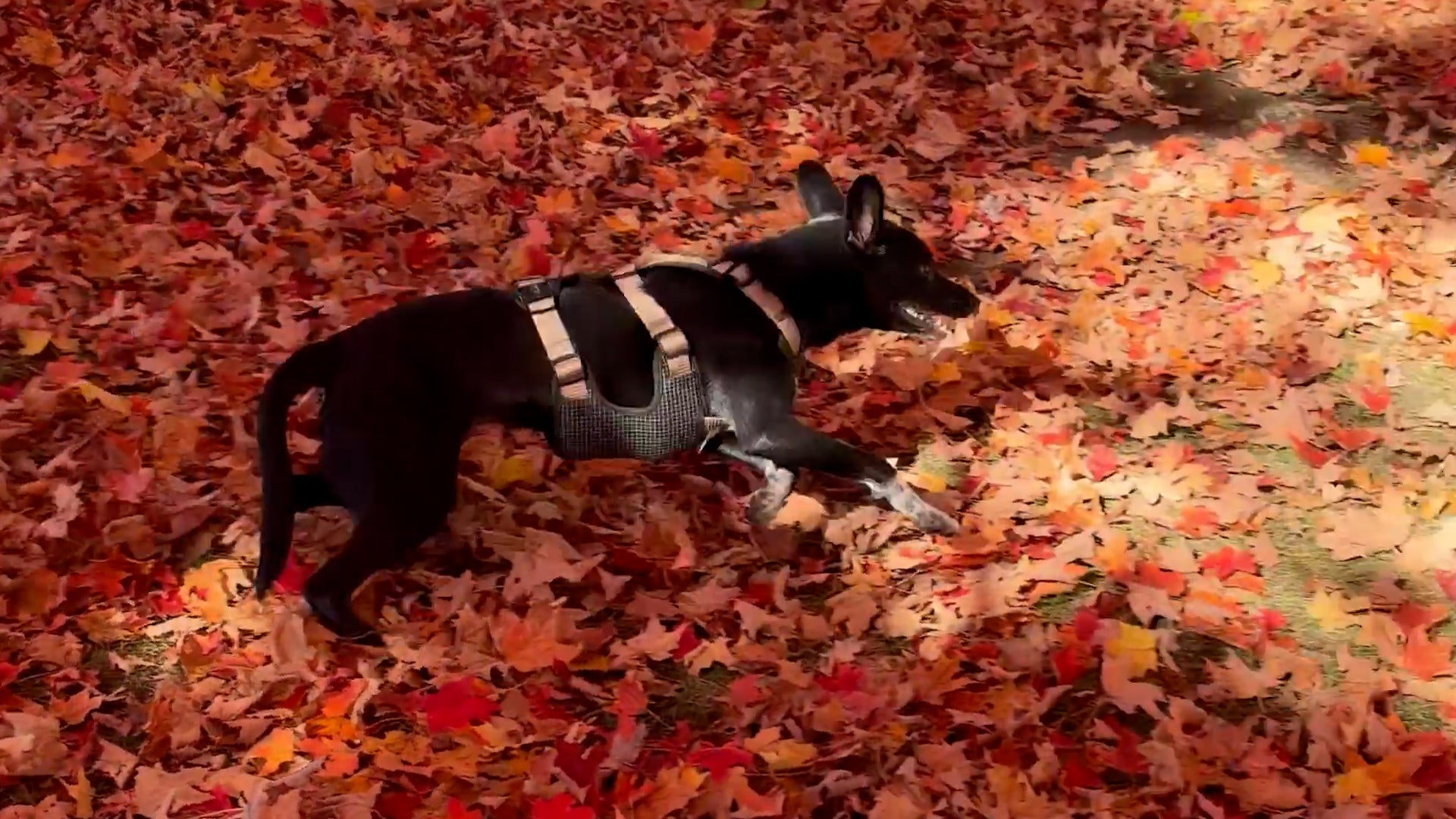 Dog gets the zoomies among peak New England foliage
Adorable dog gets the zoomies among colorful New England leaves The Weather Channel Adorable dog gets the zoomies among colorful New England leaves Adorable footage shows a dog bounding through piles of vibrant leaves…
-
 RFD-TV Weekly Crop Progress and Livestock Production Update — Monday, October 19, 2026
Producers are balancing harvest needs with winter wheat establishment, forage conditions, livestock water supplies and the opportunity to rebuild soil moisture heading into 2027. RFD-TV Weekly Crop Progress and…
-
 Numerous winter weather alerts as heavy snow moves through Southcentral and Interior Alaska
Winter weather alerts have been issued across Southcentral through midweek, with the greatest snowfall potential expected in the Northern Susitna Valley, Copper River Basin, Thompson Pass and the Anchorage and Eagle…
-
 FIRST ALERT| The sunny stretch continues
pleasant but breezy day is ahead, as the area is sandwiched between High and Low pressure. The counter and clockwise flow from each pressure system, is allowing for the breezy conditions to persist out of the northeast…
-
 What the Super El Niño Means for Texas This Winter
The Pacific is running hot, and the latest models take El Niño to record territory by December. Here is what that could mean for rain, cold and snow in Texas this winter. The Pacific is running hot right now, and it…
-
 Hurricane center continues to track system off US East Coast
The National Hurricane Center continued Monday to keep an eye on a system off the U.S. East Coast with the potential to develop into a more dangerous storm. As of the NHC’s 8 a.m. tropical outlook, a nontropical area of…
-
 Fall weather continues into the new week
It’s been another gorgeous but windy fall day across the Panhandle. Temperatures are in the 60s and 70s thanks to abundant sunshine and minimal clouds. Temperatures have tumbled into the 50s and 60s with winds still a…
-
 Near average temperatures at the start of this week, warming up by the weekend | 10/18 PM
Near average temperatures at the start of this week, warming up by the weekend LAWTON, Okla. (KSWO) - Temperatures will drop into the mid 40’s to the upper 50’s tonight remaining near the average this time of year…
Air quality
Air quality is satisfactory, and air pollution poses little or no risk.
Forecast
- TueGood
- WedModerate
- ThuGood
Amarillo, TX reporting area · 1 hr ago. Data from AirNow (EPA and its state, local and tribal partners); preliminary and subject to change.
Sun & moon
Almanac
MonthlyAmarillo Area, records since 1892. Normals 1991–2020. Data from NOAA's Regional Climate Centers (ACIS).
Nearby
Forecasters' discussion
From the National Weather Service office in AMA, issued 3 hrs ago
Key Messages
Issued at 101 PM CDT Tue Oct 20 2026
- Isolated showers that may result in mostly gusty winds with little precipitation today and tonight. Will not rule out some pockets of thunder embedded in these showers.
- Mostly dry and breezy conditions expected today.
- Thursday night into the weekend will be the next return of showers and storms, and rainfall may be enough to result in some flooding concerns starting Friday evening and into the weekend.
Short Term
(This evening through Wednesday night) Issued at 101 PM CDT Tue Oct 20 2026
Some elevated showers moved through last night and again this morning and there has been just enough mid level instability and lift with this wave moving across the Southern High Plains to get a few lightning strikes here and there. We have another batch of elevated showers moving in from NM and there could be some embedded thunder with them as well. Today's highs are expected to be in the lower to mid 70s across the areas, but still might have that cooler feel as we still have a bit of a tight surface gradient pushing breezy south winds across the Panhandles. That will relax tomorrow as we move under the main low level thermal ridge and cross barrier flow briefly weakens over the Rockies. The surface low is expected to track east across southern CO/KS and may allow for a few storms overnight in the OK Panhandle in it's wake.
Weber
Long Term
(Thursday through next Monday) Issued at 101 PM CDT Tue Oct 20 2026
Another warm day on Thursday, but it will also be accompanied by increased winds due to the next approaching weather system off the southern CA coast. Cross barrier flow will pick back up and another lee surface low is progged to set up in southeast CO, tightening up surface gradients so that south winds will be back in that 10-15 mph range but could be gusting up to 30 mph. Still warm southerly flow in place so highs will be in the upper 70s to lower 80s. And given that the pocket of warmer air will now be more placed in southern CO/KS, would expect a slightly warmer day on Thursday for the OK Panhandle,while other areas will be similar to maybe a degree cooler than Wednesday.
Models continue to track the large closed low off southern CA to the northeast across central NV by Thursday evening. This will continue to draw up that warmer air we are forecasting for the Panhandles on Thursday, but it also is a more drier track, with most of the moisture being pulled into central and western NM. As we head into Friday that low that ejected to the northeast, may leave a weak cutoff low to track over southern CA in it's wake. However the high may take a more positive tilt, but will struggle to budge from a easterly track. This will put the Panhandles in a more questionable position as far as the weekend moisture and just how much we'll benefit from that moisture plume, as it continues to drive mostly over central and eastern NM. As we move through the weekend, we'll be highly focused on precipitation chances for the western Panhandles, maybe over the the Amarillo to Guymon line, with a sharp drop off potential to be mostly dry east of that line. And right along that line is still highly in question. That being said, several rounds of training showers and storms with ample PWAT's in the 1.00-1.30" range will be anchored over the western Panhandles for the weekend. Saturday night into Sunday is the best chance for precipitation to expand east as a pretty potent upper trough dives down over the central CONUS. If the stronger colder solution plays out we could be looking at overnight lows Monday night down around freezing for much of the Panhandles, except the southeast. But a lot can change from now through the weekend as to the strength and amplitude of this cold airmass.
Weber
Aviation
(00Z TAFS) Issued at 554 PM CDT Tue Oct 20 2026
VFR conditions expected to prevail with some high clouds. Breezy southerly winds are expected to become more southwest and fall below 10 kts after 06Z.
Forecasts, observations and alerts in the United States come from the National Weather Service (NOAA); radar from NOAA's Multi-Radar Multi-Sensor system; satellite imagery from NASA's Global Imagery Browse Services (GIBS) and NOAA's GOES satellites; the map from the U.S. Geological Survey's National Map; air quality from AirNow (EPA and its partners); hurricane information from the National Hurricane Center; climate normals and records from NOAA's Regional Climate Centers (ACIS). Forecasts outside the United States and the UV index: MET Norway (CC BY 4.0); observations outside the U.S.: airport reports via NOAA's Aviation Weather Center. Place names: GeoNames (CC BY 4.0). Data are copied on a schedule and may lag the sources; for warnings that affect your safety, follow your local National Weather Service office and emergency officials. Weather news is drawn from the 4Conservative index and reflects what the press published. Terms of use.