Install
Las Quintas Fronterizas Colonia, TX Weather
Current conditions
Forecast for this hour (no station report in the last two hours)
Forecast
10-day-
Today
A slight chance of rain showers between 10am and 1pm. Partly sunny, with a high near 84. East southeast wind around 5 mph. Chance of precipitation is 20%. New rainfall amounts less than a tenth of an inch possible.
-
Tonight
Mostly cloudy, with a low around 65. East southeast wind 5 to 10 mph.
-
Wednesday
Mostly cloudy, with a high near 85. East southeast wind around 5 mph.
National Weather Service forecast updated 4 hrs ago.
Hourly
Hourly forecast- Now71°20%
- 11 AM74°20%
- 12 PM77°20%
- 1 PM79°14%
- 2 PM81°14%
- 3 PM82°14%
- 4 PM83°
- 5 PM84°
- 6 PM82°
- 7 PM81°14%
- 8 PM78°14%
- 9 PM75°14%
- 10 PM74°14%
- 11 PM73°14%
- Wed12 AM72°14%
- 1 AM71°
- 2 AM70°
- 3 AM70°
- 4 AM69°
- 5 AM67°
- 6 AM67°
- 7 AM67°
- 8 AM66°
- 9 AM69°
Daily forecast
Details- TodayOct 27Slight Chance Rain Showers20%65°84°
- WedOct 28Mostly Cloudy32%67°85°
- ThuOct 29Showers And Thunderstorms86%63°77°
- FriOct 30Showers And Thunderstorms76%63°79°
- SatOct 31Partly Sunny11%65°83°
- SunNov 1Partly Sunny67°85°
- MonNov 2Mostly Sunny62°86°
- TueNov 3Mostly sunny59°74°
- WedNov 4Sunny58°73°
Days after the National Weather Service's seven are MET Norway's outlook, a computer model with no forecaster's review.
Radar
Full mapWeather news in Texas
More weather news-
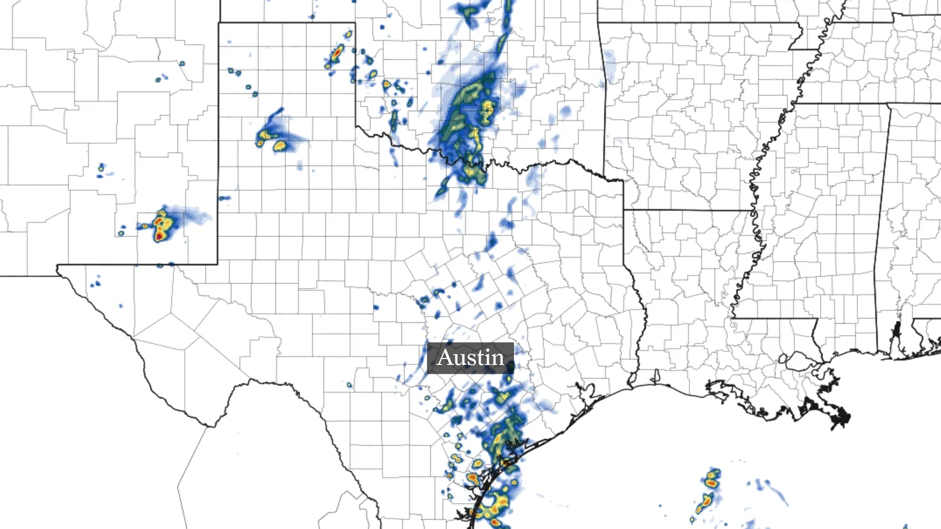 Austin weather: Could Vance in Pacific trigger rain in Central Texas?
This forecast model shows scattered showers near and south of Austin Tuesday morning. By Tuesday afternoon, a few scattered showers may approach the Austin area. Higher rain totals through Tuesday should stay well south…
-
 Rain threatens San Antonio, Central Texas this week
Rain chances tick up throughout the week leading up to Halloween in San Antonio, Texas. It's almost time for trick-or-treating in San Antonio. As we inch toward Halloween (and the big holiday season to follow), the…
-
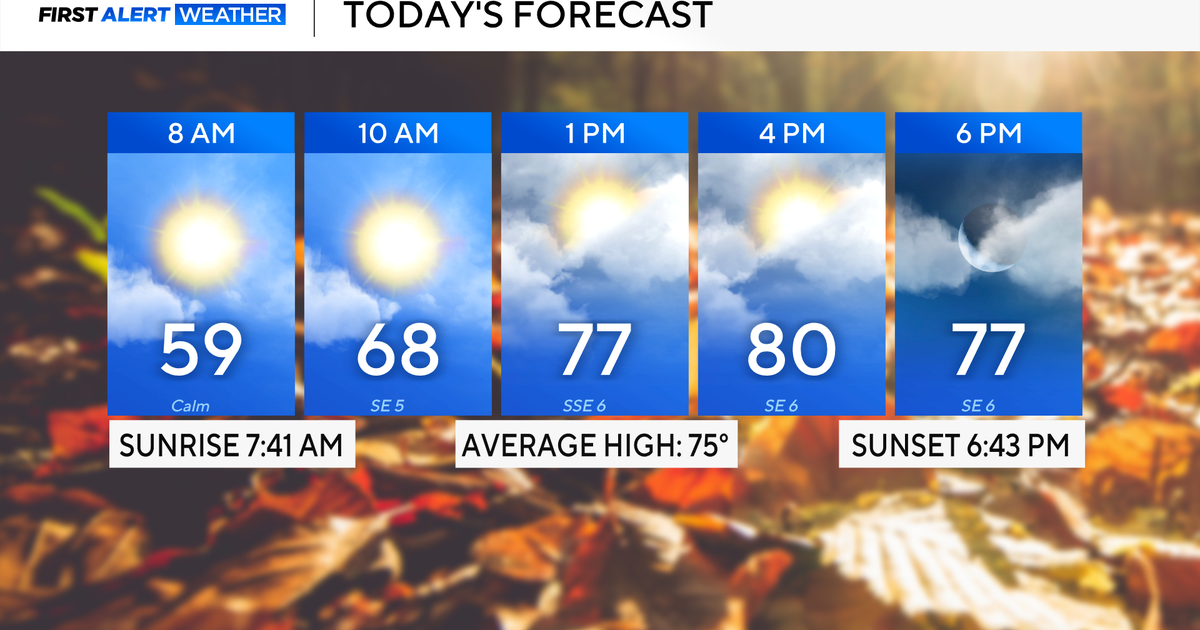 Rain chances on the rise for North Texas this week
October 26, 2026 / 8:16 AM CDT / CBS Texas North Texas woke up to partly to mostly cloudy skies and high temperatures in the 50s and 60s. You'll want to grab that light jacket as you head out the door. We'll continue to…
-
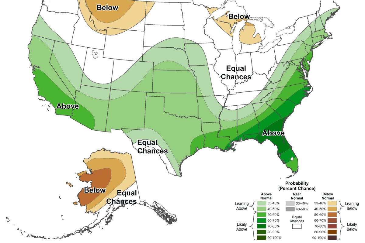 El Niño may bring higher chance of snow to North Texas this winter
By Celeste Guajardo, KERA This story is part of a partnership between KERA and Grist, a nonprofit environmental media organization. This upcoming winter will likely bring about an unusually strong El Niño, a climate…
-
 Severe storms may bring flooding to Texas this week
Heavy rain is likely to continue across the Texas Panhandle on Oct. 26, 2026, bringing even a possibility of flash flooding, per the National Weather Service. After a rainy Sunday, wet weather will likely continue to…
-
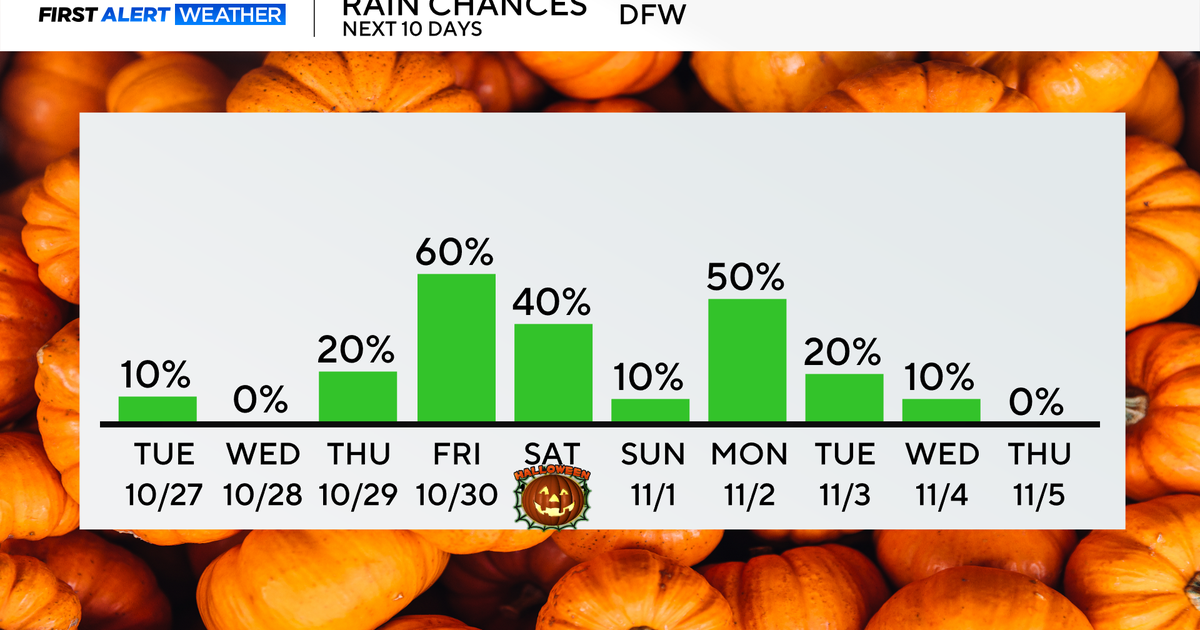 Rain chances return end of the week as temperatures remain in 70s, low 80s
Updated on: October 27, 2026 / 8:27 AM CDT / CBS Texas North Texans are waking up to mainly dry conditions Tuesday morning, with very isolated showers lingering across parts of the area. Expect a mix of clouds and sun…
-
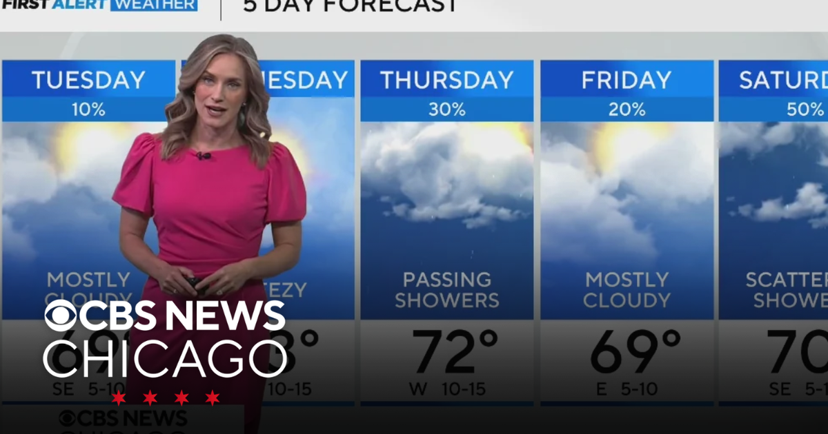 Highs near 70 degrees on Tuesday in Chicago
WBZ This Morning 6am CBS News Chicago 5am CBS News Detroit 6am CBS News Miami 6am CBS News Philadelphia 6am KDKA-TV Morning News 6am CBS News Texas 5am
-
 Clouds begin to break up this afternoon
WICHITA FALLS, Texas (KAUZ) - Good morning, Texoma! Temperature this morning are starting mostly in the upper-50s with mostly cloudy skies. We also have a few light showers across parts of the area. These rain chances…
-
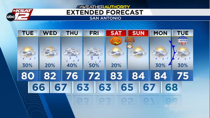 Spotty rain today, plus an update on Thursday’s chances
A few light showers are possible today and tomorrow. Deeper moisture arrives by Thursday and Friday. Justin Horne, KSAT Weather Authority Meteorologist Spotty rain today, plus an update on Thursday’s chances Balcones…
-
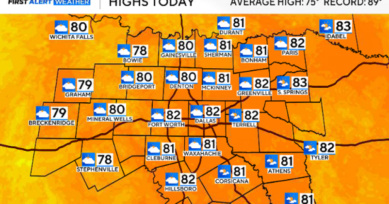 North Texas gets a warm, mild Sunday ahead of clouds and wind this week
October 25, 2026 / 6:51 AM CDT / CBS Texas Expect a warm and dry stretch of weather in North Texas over the next few days, with highs staying in the 80s, but we will see a pattern change as rain chances move in around…
Sun & moon
Nearby
- Piedras Negras 5 km
- Eagle Pass 4 km
- Nava 42 km
- Allende 54 km
- Zaragoza 49 km
- Eidson Road 2 km
- Morelos 52 km
- Villa Unión 58 km
- Villa Union 58 km
- Colonia Venustiano Carranza 10 km
- Rosita North 6 km
- Las Quintas Fronterizas 0 km
Forecasters' discussion
From the National Weather Service office in EWX, issued 4 hrs ago
Key Messages
Updated at 542 AM CDT Tue Oct 27 2026
- Mainly isolated streamer shower activity today & Wednesday, then a good chance of rain mainly along and west of the I-35 Corridor Thursday into Friday.
- Locally heavy rain possible Thursday and Friday.
- Mild to warm conditions continue through the week.
Short Term
(Today through Wednesday) Issued at 1211 AM CDT Tue Oct 27 2026
SW flow pattern aloft over TX has not been productive for our most populated I-35 corridor areas, but tropical moisture from the Pacific has brought some rounds of light elevated precipitation to mainly the Edwards Plateau and western Hill Country Monday. A shortwave trough is ejecting NE across N TX leaving relative stability in its wake. Overnight rain chances have already tapered off, and PWat values mostly around 1.5 inches or less should make for minimal convective activity today despite the continuation of a somewhat low stability pattern aloft. NBM PoPs were trimmed back to show a more CONSShort profile with less activity farther inland. Best rain chances for Tuesday should be S/SE of San Antonio toward George West and Cuero.
Despite TS Vance loafing around in the eastern Pacific, its moisture and sheared dynamics are not well in line to target our forecast area, with much of the energy giving us a glancing blow to the NW as it has already done with the ejecting shortwave trough. By late Wednesday the persistent pattern should enable a better onshore winds over the West Gulf bring better moisture transport into central counties while our NE counties still get a bit of a drier ESE wind. So in yesterday's forecast the model signals were for better rain chances Tuesday than Wednesday, and now that appears to have flipped the other way with better rain chances moving farther inland Wednesday afternoon. This is reflected in the GFS PWat values in the 1.5 to 1.8 inch range for 00Z Thursday.
NBM cloud cover the next couple days show lower cloud coverage than what we experienced on Monday, to the afternoon temperatures may uptick a few degrees with a few more 80 degree maxes today and Wednesday.
Long Term
(Wednesday night through Monday) Issued at 1211 AM CDT Tue Oct 27 2026
The next significant shortwave shown in the SW flow aloft pattern is well agreed upon by the 18Z and 00Z deterministic runs with perhaps some of this vorticity being sheared away from TS Vance hanging up just of the coast of Mexico. Certainly the QPF connection to Vance is reflected as there is a large area of elevated QPF moving across the Mexican plateau and to the Rio Grande by early Thursday morning. Unfortunately eastern counties will get another round of ESE low level winds from a persistent surface ridge covering much of the Deep South, leaving only some spotty rain chances while deeper moisture collects generally west of I-35. Out over the Edwards Plateau a solid training of elevated rain along with some pockets of deeper convection is expected occupy Thursday through midday Friday, with 90% plus PoPs in for Thursday and Thursday night. The system dumps most of the heavy rains over this higher terrain area and looks to become less concentrated as the focus expands east to the rest of the CWA Friday. Again this NE ejection pulls the best dynamics out of the area before better moisture profiles can get established farther east. Thus our storm total rains for late Wednesday through Friday night show a solid area of 1-2, isolated 4 inch QPF for Val Verde into parts of Edwards and Kinney Counties, then tapering off quickly to below half an inch before getting to the I-35 Corridor and Coastal Prairies where only a few hundredths to maybe a quarter inch of rain is expected.
In the wake of the ejecting shortwave, more isolated daytime convection is depicted with the weak pattern aloft Saturday, then becoming more stable as a low amplitude upper ridge starts to build over TX again Sunday.
The late week rain chances will lead to about a 2 to 6 degree downtrend in the max temps for those two days. Outside of that, our temperatures will continue to run mild to warm through Monday before our next good cold front arrives possibly Monday night. There could be a convective squall line to accompany that front, but there remains considerable model variability that goes into the model blends.
Aviation
(12Z TAFS) Issued at 542 AM CDT Tue Oct 27 2026
It looks like MVFR cigs are delayed for the San Antonio airports and now expected for the 18Z hour. Can't rule out a brief ceiling drop, but mid to high clouds are dominating the local area thus far. For KDRT, MVFR cigs continue through the morning and lift to VFR category by 20Z. I believe that KAUS could stay VFR throughout the day and evening. Then, later tonight into Wednesday morning, MVFR cigs are forecast for all sites. There are signs for IFR cigs for the I-35 sites overnight, which we will look closely for following updates. As far as the wind flow, stays from the southeast 5 to 10 knots through the period.
Forecasts, observations and alerts in the United States come from the National Weather Service (NOAA); radar from NOAA's Multi-Radar Multi-Sensor system; satellite imagery from NASA's Global Imagery Browse Services (GIBS) and NOAA's GOES satellites; the map from the U.S. Geological Survey's National Map; air quality from AirNow (EPA and its partners); hurricane information from the National Hurricane Center; climate normals and records from NOAA's Regional Climate Centers (ACIS). Forecasts outside the United States and the UV index: MET Norway (CC BY 4.0); observations outside the U.S.: airport reports via NOAA's Aviation Weather Center. Place names: GeoNames (CC BY 4.0). Data are copied on a schedule and may lag the sources; for warnings that affect your safety, follow your local National Weather Service office and emergency officials. Weather news is drawn from the 4Conservative index and reflects what the press published. Terms of use. How to use Weather