Install
Ingleside, TX Weather
Current conditions
Observed at Port Aransas, Mustang Beach Airport · 1 hr ago
Forecast
10-day-
Tonight
A slight chance of rain showers after 3am. Partly cloudy, with a low around 70. Northeast wind 6 to 9 mph. Chance of precipitation is 20%. New rainfall amounts less than a tenth of an inch possible.
-
Wednesday
A chance of rain showers before 1pm, then a chance of showers and thunderstorms. Mostly sunny, with a high near 83. Heat index values as high as 88. Northeast wind 8 to 14 mph, with gusts as high as 18 mph. Chance of precipitation is 40%. New rainfall amounts less than a tenth of an inch possible.
-
Wednesday Night
A slight chance of rain showers before 7pm. Partly cloudy, with a low around 70. Heat index values as high as 83. East wind 3 to 13 mph. Chance of precipitation is 20%. New rainfall amounts less than a tenth of an inch possible.
National Weather Service forecast updated 10 hrs ago.
Hourly
Hourly forecast- Now71°
- 1 AM71°
- 2 AM70°13%
- 3 AM70°17%
- 4 AM70°15%
- 5 AM70°21%
- 6 AM70°20%
- 7 AM70°24%
- 8 AM70°24%
- 9 AM73°28%
- 10 AM76°31%
- 11 AM78°42%
- 12 PM81°41%
- 1 PM81°38%
- 2 PM82°37%
- 3 PM83°31%
- 4 PM81°23%
- 5 PM81°19%
- 6 PM80°24%
- 7 PM76°
- 8 PM76°
- 9 PM75°11%
- 10 PM75°10%
- 11 PM74°
10-day forecast
Details- TonightOct 20Partly Cloudy then Slight Chance Rain Showers21%70°
- TodayOct 21Chance Rain Showers42%70°83°
- ThuOct 22Sunny68°83°
- FriOct 23Sunny70°83°
- SatOct 24Mostly Sunny70°84°
- SunOct 25Partly Sunny26%68°81°
- MonOct 26Chance Showers And Thunderstorms35%67°81°
- TueOct 27Slight Chance Rain Showers22%81°
- WedOct 28Cloudy61°72°
- ThuOct 29Sunny53°67°
Days after the National Weather Service's seven are MET Norway's outlook, a computer model with no forecaster's review.
Radar
Full mapWeather news near Ingleside
More weather news-
 Warming trend begins with onshore showers for Monday
KRIS 6 News Corpus Christi CORPUS CHRISTI, Texas - Howdy, all and happy Sunday!WHAT YOU NEED TO KNOWTemperatures are warming back to normal Monday before climbing above average by midweek.Highs reach around 82 Monday…
-
 San Antonio cold front timeline: When temperatures will drop
A cold front will finally arrive in the pre-dawn hours on Friday, October 16 in San Antonio, according to the National Weather Service. San Antonians have officially made it through their last day of unseasonably warm…
-
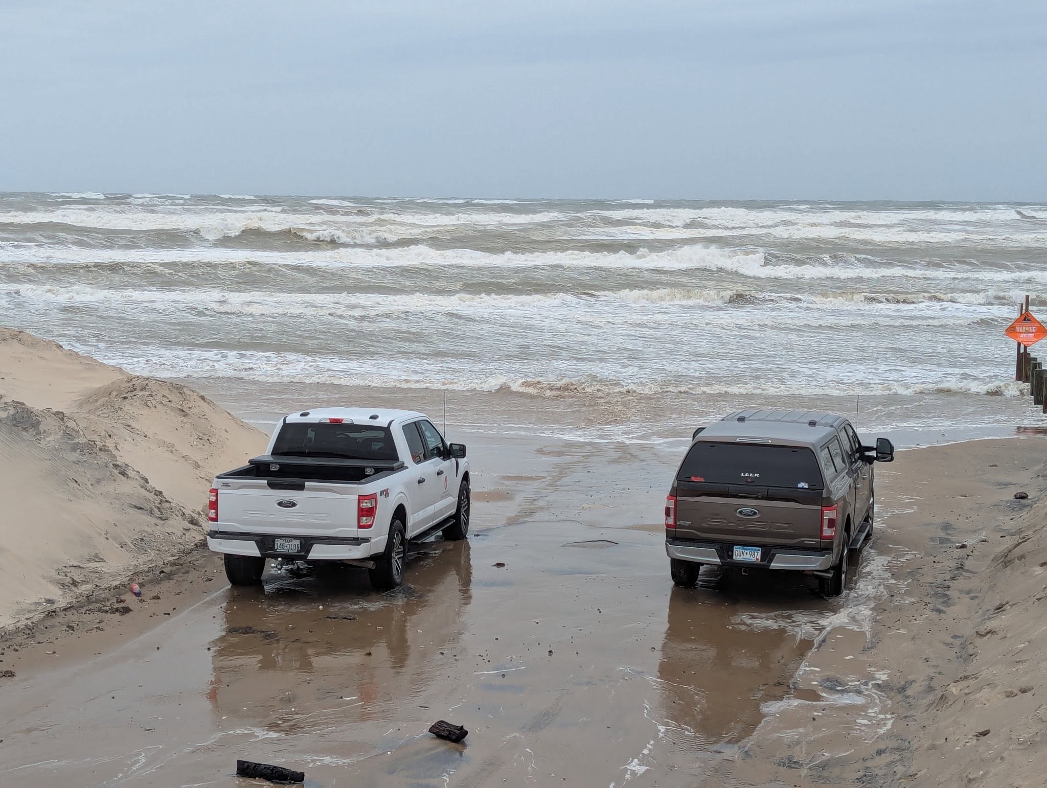 Powerful cold front puts Texas coast on alert for dangerous surf
High surf conditions caused waves to up to the road at Boca Chica Beach in December 2025, prompting Cameron County officials to temporarily close that and other county-owned beach accesses. A strong cold front is…
-
 Ample angling action reported ahead of cold front
Let me briefly touch on the weather. After a nice day Thursday, big changes are on the way come Friday. That much anticipated cold front will cross the coast sometime early Friday. Winds may start off relatively light…
-
 San Antonio storm chances increase as cold front moves into Texas
A strong cold front will bring increased rain chances as it moves toward San Antonio and the Hill Country later this week. San Antonio residents could see showers and storms on Wednesday before a strong cold front…
-
 Strong cold front bringing near-freezing temps to parts of Texas
A cold front barreling into Texas this week will drastically drop temperatures in the Texas Panhandle, North Texas, Austin and San Antonio. Near-freezing temperatures are on their way to Texas this week, and parts of…
-
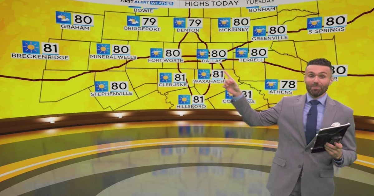 Great weather in North Texas this week
CBS News Baltimore 8am CBS News Boston 8am CBS News Chicago 7am CBS News Colorado This Morning 6am CBS News Los Angeles Mornings 5am CBS News Miami 8am CBS News New York 8am CBS News Texas 7am
-
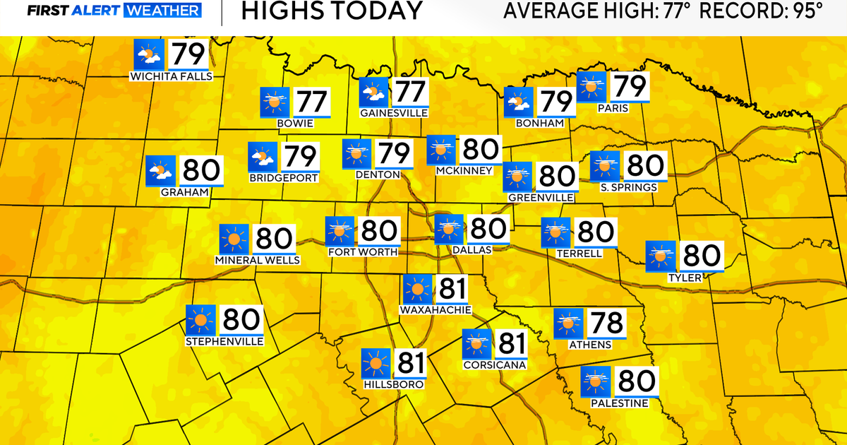 Temperatures climb into 80s as rain chances remain slim across North Texas
Updated on: October 20, 2026 / 7:28 AM CDT / CBS Texas It's another crisp fall morning, Tuesday, with temperatures in the 40s and 50s across North Texas. Have the light jacket handy and grab your sunglasses for the…
-
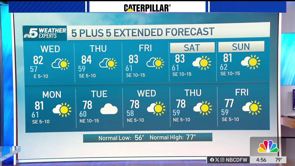 NBC 5 Forecast: A quiet weather pattern continues for North Texas
NBC 5 Dallas-Fort Worth NBC 5 Forecast: A quiet weather pattern continues for North Texas
-
 When will fall foliage peak across Texas? Here’s a timeline.
Maple trees are turning colors at Lost Maples State Nature Area near Vanderpool. The park is a popular destination in the fall, and reservations are recommended. Fall weather finally arrived across all of Texas last…
Air quality
Acceptable. Unusually sensitive people should consider limiting prolonged outdoor exertion.
Forecast
- WedGood
- ThuModerate
- FriModerate
Corpus Christi, TX reporting area · 1 hr ago. Data from AirNow (EPA and its state, local and tribal partners); preliminary and subject to change.
Sun & moon
Almanac
MonthlyCorpus Christi Nas, records since 1945. Normals 1991–2020. Data from NOAA's Regional Climate Centers (ACIS).
Nearby
- Corpus Christi 20 km
- Portland 11 km
- Robstown 46 km
- Rockport 22 km
- Aransas Pass 7 km
- Sinton 34 km
- Port Aransas 16 km
- Taft 22 km
- Refugio 48 km
- Odem 37 km
Forecasters' discussion
From the National Weather Service office in CRP, issued 6 hrs ago
Key Messages
Issued at 624 PM CDT Tue Oct 20 2026
- Rain chances increasing to low to moderate (20-60%) tonight and Wednesday, mainly along the coast and southern Coastal Plains. Highest chances will be across the coastal waters.
- Minor coastal flooding will remain possible through the week.
- Moderate Rip Current Risk today through Wednesday.
Discussion
Issued at 130 PM CDT Tue Oct 20 2026
Temperatures will remain near or slightly above normal through the weekend with north to east winds generally below 15 knots. Moisture will begin an increase tonight under the influence of a surface/mid- level trough. This will lead to a low (20-40%) chance of showers along the coast tonight. As the trough shifts further west Wednesday into early Thursday , so will the rain chances across the southern Coastal Plains and southern Brush Country. Beyond Thursday, rain chances will diminish to nearly zero. The next chances for rain will be early next week as another trough approaches the area.
A persistent northeast to easterly flow will continue through Thursday/Thursday night. While the winds are expected to remain between 5-15 knots, the persistent northeast to easterly wind direction and swell periods around 8 seconds could lead to minor coastal flooding during the times of high tide. Guidance indicates and upward trend in tidal levels; however, confidence remains low to medium. We will continue to monitor for possible Coastal Flood Advisories.
Though winds will be northeast/east through Thursday night, 8 second swell periods could help to increase the rip current threat, particularly near piers and jetties. Will continue with a moderate rip current risk today and Wednesday due to swell periods around 8 seconds. The northeast flow tends to lower the rip current risk, but 8 second period swells tends to increase the risk.
Aviation
(00Z TAFS) Issued at 624 PM CDT Tue Oct 20 2026
Mainly VFR conditions to prevail throughout the TAF period. There's a very low chance for fog at ALI/VCT early Wednesday morning as indicated by the HRRR model guidance. However, have opted to leave out of TAFs as other models indicate no VSBY restrictions as conditions do not appear to be conducive for fog formation. Additionally, there's a low chance for showers Wednesday morning/afternoon at CRP so have included PROB30 and a few stray showers are possible across ALI but have left that out of TAFs as well due to low confidence. Otherwise, winds should remain light out of the east/northeast.
Marine
Issued at 130 PM CDT Tue Oct 20 2026
A gentle to occasionally fresh (BF 3-5) northeast to east breeze can be expected through mid-week. There is a medium to high chance of showers tonight through Wednesday night.
Forecasts, observations and alerts in the United States come from the National Weather Service (NOAA); radar from NOAA's Multi-Radar Multi-Sensor system; satellite imagery from NASA's Global Imagery Browse Services (GIBS) and NOAA's GOES satellites; the map from the U.S. Geological Survey's National Map; air quality from AirNow (EPA and its partners); hurricane information from the National Hurricane Center; climate normals and records from NOAA's Regional Climate Centers (ACIS). Forecasts outside the United States and the UV index: MET Norway (CC BY 4.0); observations outside the U.S.: airport reports via NOAA's Aviation Weather Center. Place names: GeoNames (CC BY 4.0). Data are copied on a schedule and may lag the sources; for warnings that affect your safety, follow your local National Weather Service office and emergency officials. Weather news is drawn from the 4Conservative index and reflects what the press published. Terms of use.