Install
Galveston, TX Weather
Current conditions
Forecast for this hour (no station report in the last two hours)
Forecast
10-day-
Saturday
Sunny, with a high near 80. East wind 10 to 15 mph.
-
Saturday Night
Mostly clear, with a low around 71. East wind 10 to 15 mph.
-
Sunday
Mostly sunny. High near 76, with temperatures falling to around 73 in the afternoon. East wind 10 to 15 mph, with gusts as high as 20 mph.
National Weather Service forecast updated 1 day ago.
Hourly
Hourly forecast- Now76°
- 10 AM78°
- 11 AM80°
- 12 PM80°
- 1 PM80°
- 2 PM80°
- 3 PM80°
- 4 PM80°
- 5 PM79°
- 6 PM76°
- 7 PM74°
- 8 PM74°
- 9 PM74°
- 10 PM74°
- 11 PM74°
- Sun12 AM74°
- 1 AM74°
- 2 AM73°
- 3 AM73°
- 4 AM72°
- 5 AM72°
- 6 AM71°
- 7 AM71°
- 8 AM72°
Daily forecast
DetailsRadar
Full mapWeather news near Galveston
More weather news-
 Texas braces for warming trend after shocking cold front
Will fall conditons end anytime soon in Texas? The National Weather Service says a warming trend is in store for the state. How long will cooler, fall-like temperatures hang on across Texas? Forecasters with the…
-
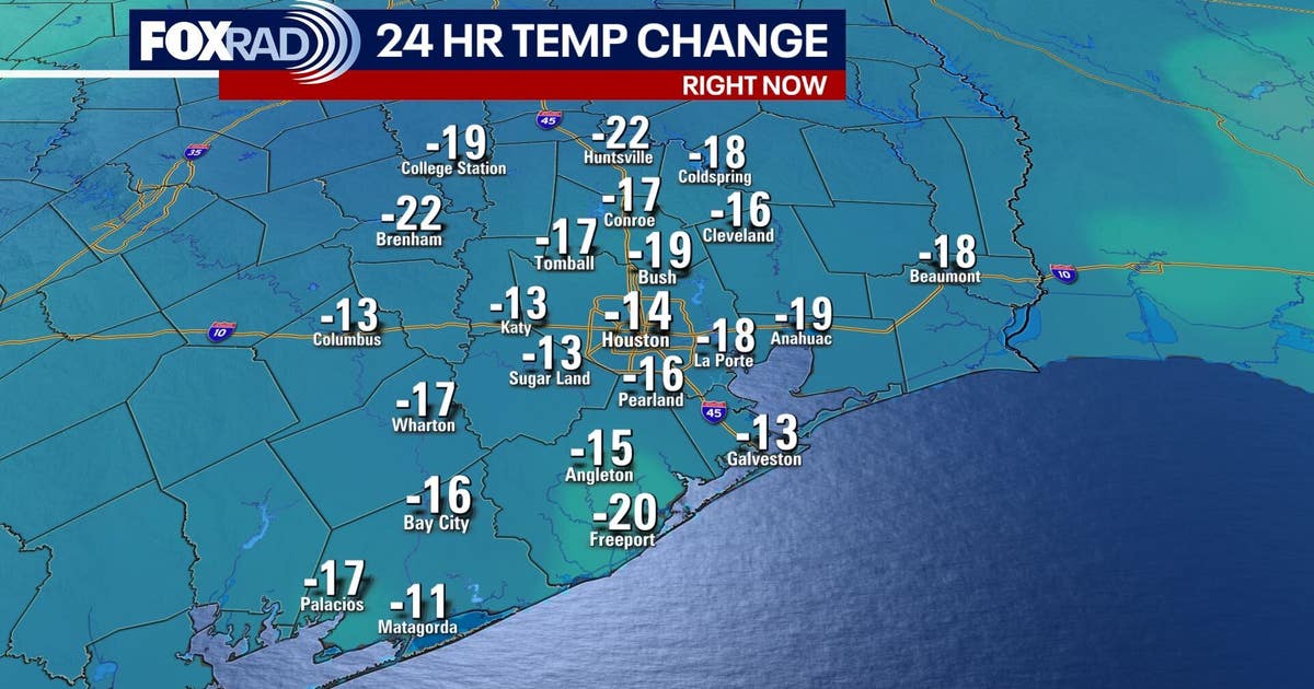 Houston weather: Fall cold front brings cooler weather
FOX 26 meteorologist Angie Rodriguez has your morning forecast for Oct. 17. A cold front moved across southeast Texas Friday morning, ushering in cooler, refreshing weather in Houston over the weekend. Temperatures will…
-
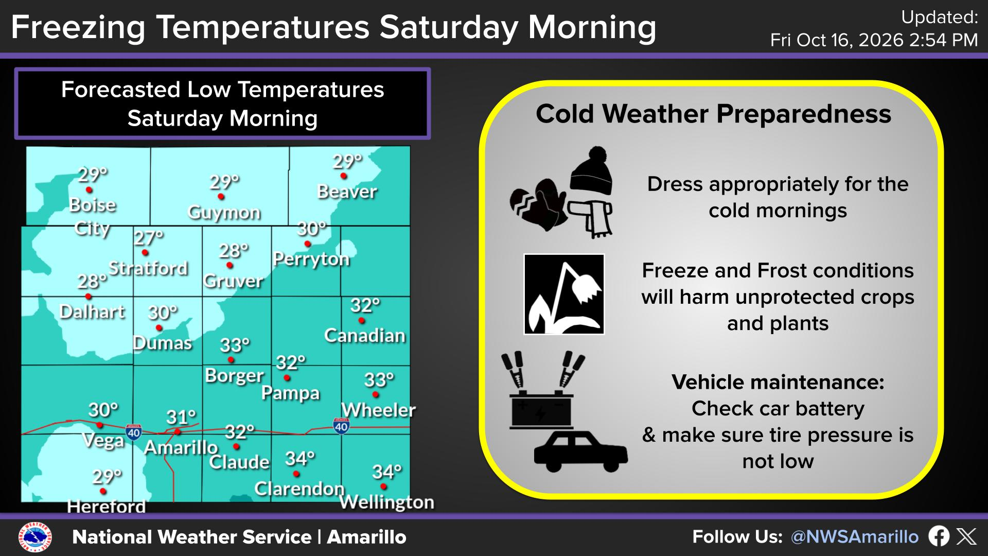 Coldest weather of season prompts freeze warnings in Texas
Lows could dip into the 20s in portions of the Texas Panhandle on Oct. 17, 2026, according to the National Weather Service. A lot is made in Texas when a cold front knocks Texas down from 90 degrees to 85. Your dad (or…
-
 Cold front brings fall temperatures, wind advisory to Houston region
Daisy Espinoza / Houston Public MediaAccording to the National Weather Service (NWS), temperatures will drop over the weekend across the Greater Houston area, with lows in the 50s and highs in the 70s . "It'll actually…
-
 Massive cold front triggers Texas freeze watch-which counties are at risk?
A cold front is barreling toward Texas, and some counties are under a freeze watch, with temperatures expected to dip below freezing. The National Weather Service has issued a freeze watch for counties most likely to…
-
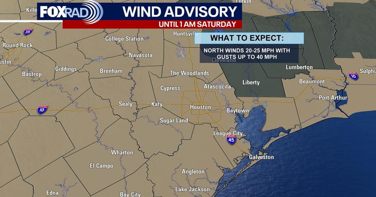 Houston weather: Cold front moves through Friday ahead of cooler weekend
The fall cold front we've been talking about for the past few days has arrived and is moving across the area Friday morning, bringing in some cooler temperatures for the weekend. Highs will likely be in the 70s with…
-
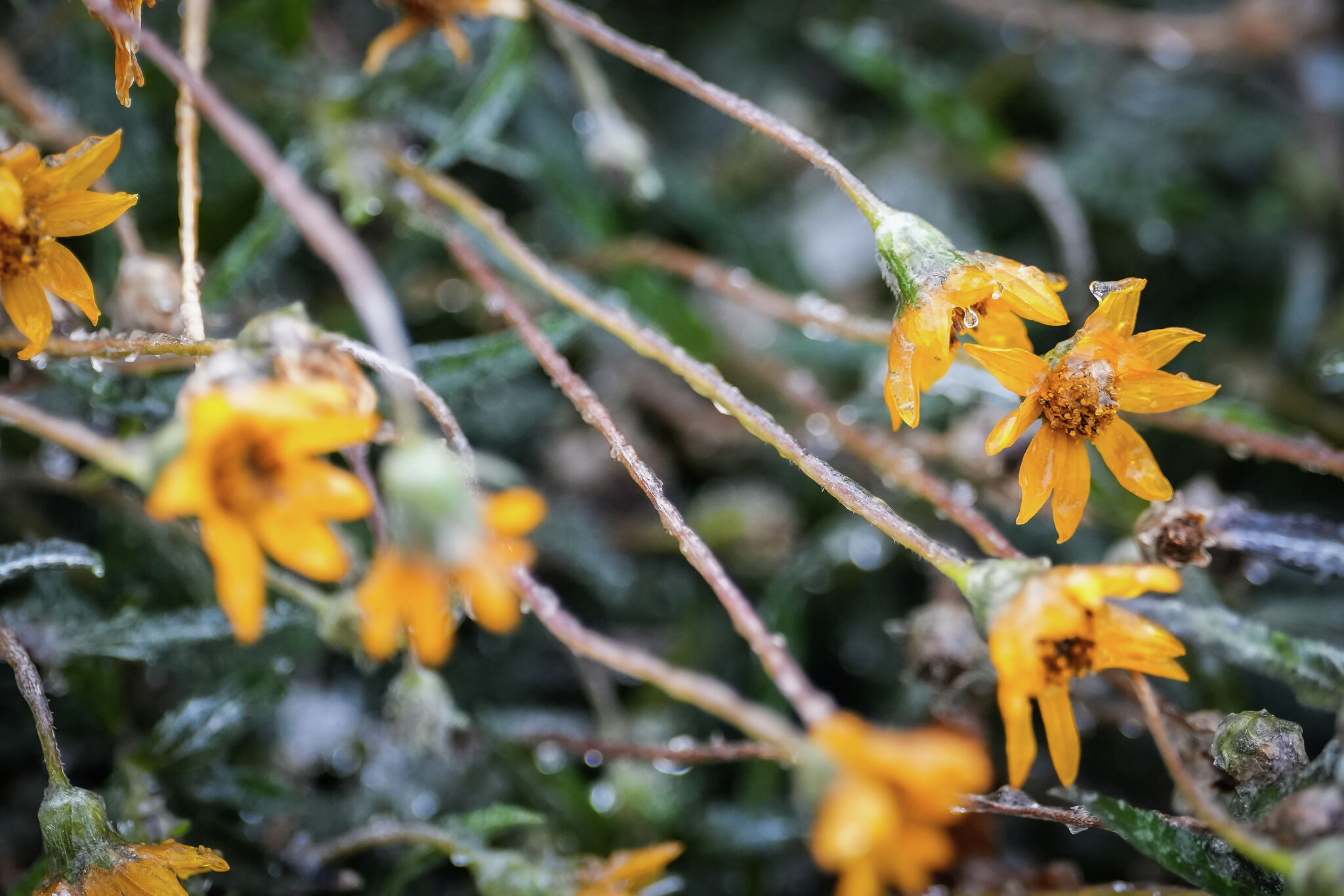 Freeze Watch issued for parts of Texas. Are you in its path?
Flowers are covered in ice as intense cold settles into the Austin area, Jan. 25, 2026. Parts of the state are under a Freeze Watch this weekend as a cold front sweeps through Texas. A cold front is barreling toward…
-
 Cold Front Brings Refreshing Weather to Houston This Weekend
Home » Trending » Cold Front Brings Refreshing Weather to Houston This Weekend HOUSTON – A significant cold front is set to move through the Houston area early on Friday, promising a transition to much cooler and…
-
 Why hurricanes can make fishing harder in Galveston, even without a direct hit
Hurricanes can make recreational fishing harder for those trying to catch a fish off the coast of Galveston in the days following a storm, even if a hurricane doesn't directly hit the Galveston coast, according to a…
-
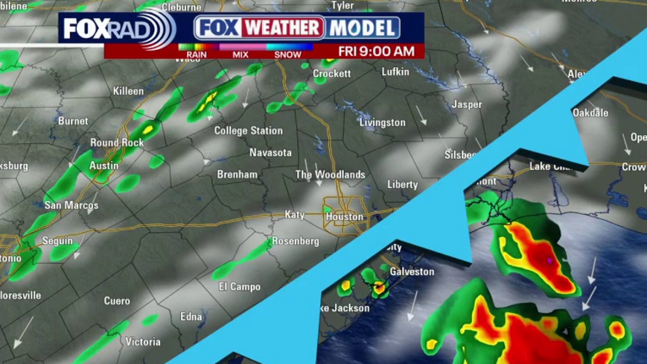 Houston weather: Cold front to drop temperatures Friday
A cold front will be sweeping across the region early on Friday, ushering in cooler, refreshing weather in Houston this weekend! We will likely see highs in the 70s and wake up temperatures in the 40s & 50s in most…
Air quality
People with heart or lung disease, older adults, children and teenagers should reduce prolonged or heavy exertion outdoors.
Forecast
- SatModerate
- SunModerate
- MonModerate
Houston-Galveston-Brazoria, TX reporting area · 1 hr ago. Data from AirNow (EPA and its state, local and tribal partners); preliminary and subject to change.
Sun & moon
Almanac
MonthlyGalveston Area, records since 1874. Normals 1991–2020. Data from NOAA's Regional Climate Centers (ACIS).
Nearby
- Pasadena 59 km
- Pearland 56 km
- League City 37 km
- Baytown 51 km
- Texas City 14 km
- Friendswood 47 km
- La Porte 46 km
- Deer Park 55 km
- Alvin 45 km
- Dickinson 30 km
- South Houston 58 km
- La Marque 18 km
Forecasters' discussion
From the National Weather Service office in HGX, issued 8 hrs ago
Key Messages
- Warm and dry conditions expected through early next week.
- Potentially hazardous winds and seas over the Gulf late Saturday through Monday.
- Potential change to a wetter pattern by the end of the month or early November.
Discussion
Issued at 1229 AM CDT Sat Oct 24 2026
The ridge that has been stationed over us since the first cold front of the season begins to weaken during the weekend. The pressure gradient will tighten this weekend, thus, bringing the possibility of winds around 10 mph with gusts up to 20 mph at times. Rain chances will remain low through Sunday due to PWAT values of around 1" or less. Temperatures are still anticipated to reach the low to mid 80s inland while staying slightly cooler in the upper 70s along the coast. Increasing moisture transported from the Gulf raises the dewpoints back into the upper 50s to low 60s, decreasing our fire weather risk. Overnight lows sit between the mid 50s and low 60s inland while slightly warmer along the coast in the upper 60s and low 70s.
As we start the work week, an upper-level trough will meander south through the Plains while surface moisture continues to move in from the Mid Texas Coast, increasing PWATs to around 1.5 inches. This is where we will see our PoPs return, brining isolated to scattered showers mainly over areas west of I-45. Temperatures will be slightly cooler early next with highs in the upper 70s to low 80s. The overnight lows, on the other hand, are slightly warmer sitting in the 60s inland and low 70s along the coast lines. This is due to the previously mentioned additional moisture and increasing dewpoints.
Looking further ahead guidance continues to suggest a cold front dropping into the area around the Halloween time frame. But uncertain remains with the usual suspects of timing and intensity that far out in the models.
CMW/Cotto
Aviation
(06Z TAF Issuance) Issued at 1229 AM CDT Sat Oct 24 2026
There is a chance for MVFR conditions due to patchy fog developing during the overnight to early morning hours. Otherwise, VFR conditions expected through the end of the TAF period. Winds will remain light and VRB through Sat morning, then become ESE to SE at around 10 KTS with occasional gusts of around 20 KTS in the afternoon. A weak low level jet could keep winds between 5-10 KTS Sat night into early Sun morning.
Cotto
Marine
Issued at 1229 AM CDT Sat Oct 24 2026
Light to moderate east to southeast winds are expected through early next week as the pressure gradient tightens. Winds at times could strengthen to 20 knots or slightly higher Sunday and Monday. In response to the stronger winds, seas will build to 3 to 6 feet by Sunday and possibly rise to around 7 feet over the offshore waters on Monday. Caution flags and/or Small Craft Advisories will likely be needed from late Saturday through late Monday. Winds relax and seas gradually subside Tuesday into Wednesday. Rain chances will return early next week as moisture from the Gulf moves in and an upper level trough moves across the Southern Plains.
Cotto
Forecasts, observations and alerts in the United States come from the National Weather Service (NOAA); radar from NOAA's Multi-Radar Multi-Sensor system; satellite imagery from NASA's Global Imagery Browse Services (GIBS) and NOAA's GOES satellites; the map from the U.S. Geological Survey's National Map; air quality from AirNow (EPA and its partners); hurricane information from the National Hurricane Center; climate normals and records from NOAA's Regional Climate Centers (ACIS). Forecasts outside the United States and the UV index: MET Norway (CC BY 4.0); observations outside the U.S.: airport reports via NOAA's Aviation Weather Center. Place names: GeoNames (CC BY 4.0). Data are copied on a schedule and may lag the sources; for warnings that affect your safety, follow your local National Weather Service office and emergency officials. Weather news is drawn from the 4Conservative index and reflects what the press published. Terms of use.