Install
Crane, TX Weather
Current conditions
Forecast for this hour (no station report in the last two hours)
Forecast
10-day-
Today
Sunny, with a high near 78. Southeast wind around 15 mph.
-
Tonight
Mostly clear, with a low around 60. Southeast wind 5 to 15 mph.
-
Wednesday
Mostly sunny, with a high near 81. Southeast wind 10 to 15 mph.
National Weather Service forecast updated 9 hrs ago.
Hourly
Hourly forecast- Now77°
- 4 PM78°
- 5 PM77°
- 6 PM76°
- 7 PM74°
- 8 PM71°
- 9 PM69°
- 10 PM68°
- 11 PM68°
- Wed12 AM67°
- 1 AM65°
- 2 AM63°
- 3 AM63°
- 4 AM62°
- 5 AM61°
- 6 AM61°
- 7 AM60°
- 8 AM60°
- 9 AM62°
- 10 AM66°
- 11 AM69°
- 12 PM73°
- 1 PM76°
- 2 PM78°
10-day forecast
Details- TodayOct 20Sunny60°78°
- WedOct 21Mostly Sunny61°81°
- ThuOct 22Mostly Sunny63°81°
- FriOct 23Mostly Sunny15%63°80°
- SatOct 24Chance Showers And Thunderstorms45%64°77°
- SunOct 25Chance Showers And Thunderstorms54%61°72°
- MonOct 26Chance Rain Showers31%58°71°
- TueOct 27Heavy rain0.62 in58°72°
- WedOct 28Light rain0.13 in53°66°
- ThuOct 29Partly cloudy48°68°
Days after the National Weather Service's seven are MET Norway's outlook, a computer model with no forecaster's review.
Radar
Full mapWeather news near Crane
More weather news-
 New El Niño forecasts show high chance for California rainfall at 150%-200% of normal
100th Anniversary Sale! Get 2 years of digital access for only $100/year County crews remove sediment to help maximize capacity ahead of the expected flooding of the San Gabriel River reservoir from an expected El Niño…
- Five Finger Lighthouse weather station back online
Petersburg Pilot Five Finger Lighthouse weather station back online Five Finger Lighthouse Society volunteers Lori Dial, Jeff Erickson, and Paul Johnson haul the new weather station tower up to the boat deck using…
-
 Severe Tornado and Thunderstorm Warnings Issued in Texas as Conditions Intensify
A Tornado Warning is in effect until 3:15 p.m. CDT Wednesday for north central Pecos County near Fort Stockton, Texas, as severe thunderstorms with wind gusts up to 70 mph and quarter-size hail move across West Texas…
-
 1.7 million Britons 'won't turn on heating' this winter amid Godzilla El Niño extreme weather threat
Up to 1.7 million UK households will not turn on their heating this winter in an effort to save money - as a record El Niño threatens to unleash extreme weather this winter. A poll for Uswitch suggested that as many as…
-
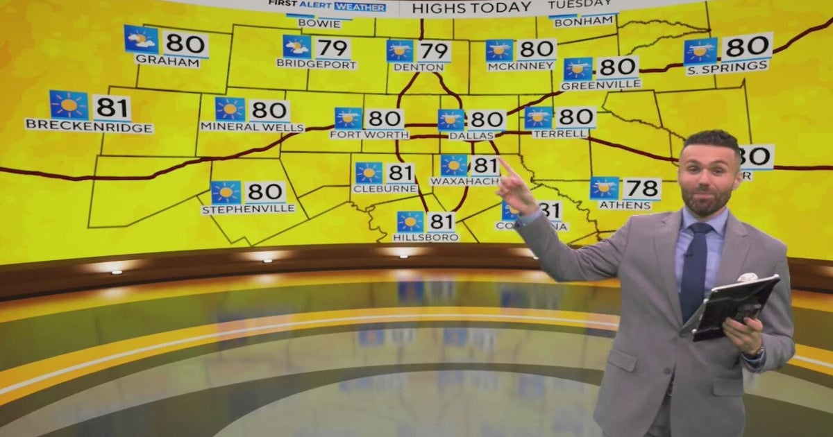 Great weather in North Texas this week
CBS News Baltimore 8am CBS News Boston 8am CBS News Chicago 7am CBS News Colorado This Morning 6am CBS News Los Angeles Mornings 5am CBS News Miami 8am CBS News New York 8am CBS News Texas 7am
-
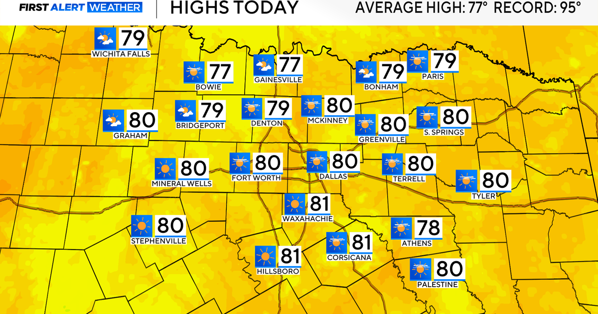 Temperatures climb into 80s as rain chances remain slim across North Texas
Updated on: October 20, 2026 / 7:28 AM CDT / CBS Texas It's another crisp fall morning, Tuesday, with temperatures in the 40s and 50s across North Texas. Have the light jacket handy and grab your sunglasses for the…
-
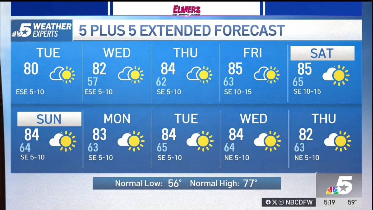 NBC 5 Forecast: A quiet weather pattern for North Texas
NBC 5 Dallas-Fort Worth NBC 5 Forecast: A quiet weather pattern for North Texas
-
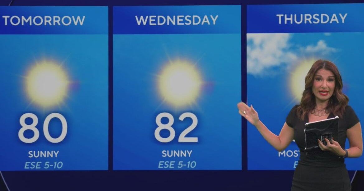 Beautiful stretch of weather continues across North Texas
The Takeout with Major Garrett CBS News Chicago 4pm CBS News Detroit 5pm CBS News Miami 5pm The 4 from WCCO News CBS News New York 5pm CBS News Philadelphia 5pm CBS News Texas at 4pm
-
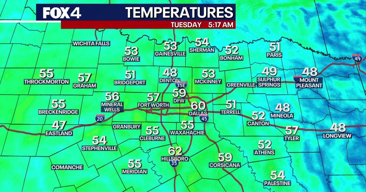 Dallas Weather: 80-degree highs return to North Texas
FOX 4's Ali Turiano has the morning forecast for Oct. 20. DALLAS - North Texans can expect pleasant weather to continue as afternoon highs return to the 80s starting today and last through the rest of the week. After…
-
 Texas Warms Back Up, West Texas Rain Chances Return by Friday | Texas Weather Roundup
Crashy the Cold Front is long gone, and Texas is warming back up. South winds and a little more humidity are back this week. Most of the state stays dry, but rain chances creep back into West Texas by Thursday and…
Air quality
Air quality is satisfactory, and air pollution poses little or no risk.
Forecast
- TueGood
- WedModerate
- ThuModerate
Midland-Odessa, TX reporting area · 1 hr ago. Data from AirNow (EPA and its state, local and tribal partners); preliminary and subject to change.
Sun & moon
Almanac
MonthlyCrane, records since 1929. Normals 1991–2020. Data from NOAA's Regional Climate Centers (ACIS).
Nearby
- Odessa 50 km
- West Odessa 51 km
- Monahans 56 km
- McCamey 31 km
Forecasters' discussion
From the National Weather Service office in MAF, issued 9 hrs ago
Key Messages
Updated at 602 AM CDT Tue Oct 20 2026
- Temperatures trend back to slightly above normal this week.
- Low to medium (20-60%) rain chances return late Thursday through Saturday. The best chance of rain will be over our western counties.
Short Term
(Today through Wednesday afternoon) Issued at 225 AM CDT Tue Oct 20 2026
A disturbance that caused severe weather yesterday across S NM has weakened, but continues to spread clouds across the higher terrain. This has kept temperatures more mild and mostly in the 60s while areas to the east have fallen into the 50s. While a shower or two is possible across Eddy Co. with this passing disturbance, we don't expect any impacts.
Mid level ridging will quickly build over the region today helping to increase subsidence. This will push any convective activity even further west the next several days. Temperatures will continue to trend upward with highs back into the 80s into midweek with lows generally in the 50s.
Long Term
(Wednesday night through Monday) Issued at 225 AM CDT Tue Oct 20 2026
Ridging will dominate our weather through the week with temperatures continuing above normal. Rain chances remain at zero until late Thursday at the earliest when the ridge finally breaks down and southwesterly flow increases aloft. This will be the beginning of an extended period of rain chances as general troughing remains to our west into next week. Given this pattern, will need to monitor for a heavy rain threat, especially if we see any moisture from a very active Eastern Pacific hurricane season.
Aviation
(12Z TAFS) Issued at 602 AM CDT Tue Oct 20 2026
VFR continues through the period along with southerly winds.
Forecasts, observations and alerts in the United States come from the National Weather Service (NOAA); radar from NOAA's Multi-Radar Multi-Sensor system; satellite imagery from NASA's Global Imagery Browse Services (GIBS) and NOAA's GOES satellites; the map from the U.S. Geological Survey's National Map; air quality from AirNow (EPA and its partners); hurricane information from the National Hurricane Center; climate normals and records from NOAA's Regional Climate Centers (ACIS). Forecasts outside the United States and the UV index: MET Norway (CC BY 4.0); observations outside the U.S.: airport reports via NOAA's Aviation Weather Center. Place names: GeoNames (CC BY 4.0). Data are copied on a schedule and may lag the sources; for warnings that affect your safety, follow your local National Weather Service office and emergency officials. Weather news is drawn from the 4Conservative index and reflects what the press published. Terms of use.