Install
Canyon, TX Weather
Current conditions
Observed at Amarillo, Amarillo International Airport · 44 min ago
Forecast
10-day-
Today
Isolated rain showers after 1pm. Sunny, with a high near 73. South wind 10 to 15 mph, with gusts as high as 25 mph.
-
Tonight
Isolated rain showers before 7pm. Mostly clear, with a low around 55. South southwest wind 5 to 15 mph, with gusts as high as 25 mph.
-
Wednesday
Sunny, with a high near 80. Southwest wind 5 to 10 mph.
National Weather Service forecast updated 5 hrs ago.
Hourly
Hourly forecast- Now71°13%
- 4 PM73°13%
- 5 PM72°13%
- 6 PM71°13%
- 7 PM68°
- 8 PM64°
- 9 PM62°
- 10 PM61°
- 11 PM60°
- Wed12 AM59°
- 1 AM58°
- 2 AM57°
- 3 AM57°
- 4 AM56°
- 5 AM56°
- 6 AM55°
- 7 AM55°
- 8 AM55°
- 9 AM57°
- 10 AM61°
- 11 AM66°
- 12 PM70°
- 1 PM74°
- 2 PM77°
10-day forecast
Details- TodayOct 20Sunny then Isolated Rain Showers13%55°73°
- WedOct 21Sunny56°80°
- ThuOct 22Mostly Sunny56°77°
- FriOct 23Partly Sunny43%55°73°
- SatOct 24Showers And Thunderstorms Likely55%53°68°
- SunOct 25Showers And Thunderstorms Likely55%52°62°
- MonOct 26Chance Rain Showers39%49°64°
- TueOct 27Heavy rain1.19 in48°54°
- WedOct 28Rain0.19 in46°61°
- ThuOct 29Partly cloudy43°65°
Days after the National Weather Service's seven are MET Norway's outlook, a computer model with no forecaster's review.
Radar
Full mapWeather news near Canyon
More weather news- Weather Today
Weather Forecast and Conditions for Chino Canyon, Palm Springs, California - The Weather Channel | Weather.com The Weather Channel Chino Canyon, Palm Springs, California Chino Canyon Daily Forecast
-
 Rain will arrive Wednesday and fall through Thursday
Rain is on the way, but we’ll get one more (mostly) dry day on Tuesday before the rain arrives. GRAND JUNCTION, Colo. (KJCT) - Rain is on the way, but we’ll get one more (mostly) dry day on Tuesday before the rain…
-
 Storm Warnings Issued Off the North and South Carolina Coast as Conditions Intensify
Storm Warnings are in effect for offshore waters from Oregon Inlet, North Carolina, to Little River Inlet, South Carolina, with north winds of 35 to 40 knots, gusts to 50 knots and seas up to 18 feet. A nor’easter is…
-
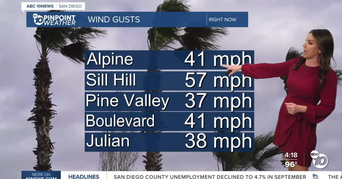 San Diego's Weather Forecast for October 16, 2026: Warm and windy Saturday
Santa Ana winds are here, with strongest winds on Friday, and offshore winds continuing through Sunday morning. Peak wind gusts have been impressive with widespread gusts over 30mph, while the strongest gusts clocked…
-
 New El Niño forecasts show high chance for California rainfall at 150%-200% of normal
100th Anniversary Sale! Get 2 years of digital access for only $100/year County crews remove sediment to help maximize capacity ahead of the expected flooding of the San Gabriel River reservoir from an expected El Niño…
-
 High Santa Ana winds continue across Southern California, cooldown in sight for the weekend
Santa Ana winds continued to swirl across Southern California, with low humidity creating high risk fire weather through Saturday, though cooldowns and higher humidity will bring some reprieve as the weekend continues…
-
 Tropical Storm Rachel Leaves A Big Mark
(Alta, UT) -- Tropical Storm Rachel is gone but the totals are just now being added up. Some parts of the Wasatch Mountains recorded over seven inches of rain. It was a similar number for the Pine Valley Mountains in…
-
 Southern Arizona braces for 70 mph wind gusts
TUCSON, Ariz. (KVOA) -- Sustained and dangerous winds are expected to sweep through Southern Arizona, including in one area hit by severe winds just a few months ago. A high wind warning is in effect for parts of Pima…
-
 High Winds To Thrash Trabuco Canyon As Temperatures Rise Through Saturday
TRABUCO CANYON, CA — Be advised, Trabuco Canyon: A Wind Advisory is currently active for your community. The National Weather Service issued the advisory on Thursday amid predictions of blustery winds up to 70 miles per…
-
 High Wind Warning for Friday and Saturday for Inland Empire Valleys
FONTANA, CA. (Pain In The Pass) >> The Southern California Weather Force has issued a High Wind Warning and a Santa Ana Wind Warning, effective Thursday morning throught Friday night. Strongest winds will happen on…
Air quality
Air quality is satisfactory, and air pollution poses little or no risk.
Forecast
- TueGood
- WedModerate
- ThuGood
Amarillo, TX reporting area · 1 hr ago. Data from AirNow (EPA and its state, local and tribal partners); preliminary and subject to change.
Sun & moon
Almanac
MonthlyAmarillo Area, records since 1892. Normals 1991–2020. Data from NOAA's Regional Climate Centers (ACIS).
Nearby
Forecasters' discussion
From the National Weather Service office in AMA, issued 15 hrs ago
Key Messages
Issued at 1129 PM CDT Mon Oct 19 2026
- Isolated showers that may result in mostly gusty winds with little precipitation today and tonight. Will not rule out some pockets of thunder embedded in these showers.
- Mostly dry and breezy conditions expected to prevail through Wednesday.
- Thursday night into the weekend will be the next return of showers and storms, and rainfall may be enough to result in some flooding concerns starting Friday evening and into the weekend.
Short Term
(Tonight through Wednesday night) Issued at 1129 PM CDT Mon Oct 19 2026
Southwest flow aloft is progged to keep high clouds around for today. This is expected to hold afternoon highs back in the lower to mid 70s for much of the area. Along with keeping a very slight chance for showers, maybe even isolated thunder through today. Any shower activity is mainly expected to keep to the central and northern parts of the Panhandles. A short-waves rippling through the flow aloft should be just enough support to bring the slight chances (10-20 PoP). Once the main short-wave moves out, upper level ridging is progged to build in tomorrow. This will bring clear skies back along with temperatures reaching for the lower 80s. The typical warm spots off the caprock should not have problem with achieving the lower 80s, while on the caprock temperatures may hold short at 79. Surface winds are also expected to drop off for Wednesday afternoon to the 5-12 mph range. Until then expect 15-20 mph winds out of the south once again today.
Long Term
(Thursday through next Monday) Issued at 1129 PM CDT Mon Oct 19 2026
Thursday, the next big upper level trough is expected to dig down the west coast. While staying under the ridge for the mean time, high temperatures are expected to be above average again just like Wed. However, the approaching system should bring back a tighter surface gradient and increase surface winds back to the 15- 20 mph range. This next system is expected to bring cooler temperatures back starting Friday with afternoon highs progged to be a few degrees cooler. The current signal is that PoPs will be returning to the Panhandles once again Thu night. However, there is still some uncertainty to the potential rain amounts and best timing for showers/storms Friday into the weekend. With 30 to 60 PoPs progged through much of the weekend, increased cloud cover will potentially hold afternoon highs back in the 60s. PoPs are tapering off late Sunday into Monday but some 20-30 PoPs are holding on for now, until the system speed is fully known.
Aviation
(06Z TAFS) Issued at 1129 PM CDT Mon Oct 19 2026
VFR conditions expected to prevail with high clouds and southwest winds up to 15 kts. There is a low chance for some high based light showers and maybe even thunder. The probability for thunder and rain at any one terminal is very low and should not see any impacts outside of some potential erratic wind gusts from these showers if they form close enough.
Forecasts, observations and alerts in the United States come from the National Weather Service (NOAA); radar from NOAA's Multi-Radar Multi-Sensor system; satellite imagery from NASA's Global Imagery Browse Services (GIBS) and NOAA's GOES satellites; the map from the U.S. Geological Survey's National Map; air quality from AirNow (EPA and its partners); hurricane information from the National Hurricane Center; climate normals and records from NOAA's Regional Climate Centers (ACIS). Forecasts outside the United States and the UV index: MET Norway (CC BY 4.0); observations outside the U.S.: airport reports via NOAA's Aviation Weather Center. Place names: GeoNames (CC BY 4.0). Data are copied on a schedule and may lag the sources; for warnings that affect your safety, follow your local National Weather Service office and emergency officials. Weather news is drawn from the 4Conservative index and reflects what the press published. Terms of use.