Install
Alton North (historical), TX Weather
Current conditions
Forecast for this hour (no station report in the last two hours)
Forecast
10-day-
Monday
Mostly sunny, with a high near 87. East wind 2 to 7 mph.
-
Monday Night
A slight chance of rain showers between 7pm and 1am, then a slight chance of showers and thunderstorms. Partly cloudy, with a low around 69. East wind 1 to 9 mph. Chance of precipitation is 20%.
-
Tuesday
A slight chance of showers and thunderstorms before 7am, then a chance of showers and thunderstorms. Partly sunny, with a high near 84. East wind 2 to 8 mph. Chance of precipitation is 40%.
National Weather Service forecast updated 3 days ago.
Hourly
Hourly forecast- Now86°
- 6 PM84°
- 7 PM81°15%
- 8 PM78°15%
- 9 PM76°15%
- 10 PM74°15%
- 11 PM73°15%
- Tue12 AM72°15%
- 1 AM71°15%
- 2 AM70°15%
- 3 AM70°15%
- 4 AM70°15%
- 5 AM69°15%
- 6 AM69°15%
- 7 AM69°34%
- 8 AM70°34%
- 9 AM72°34%
- 10 AM75°34%
- 11 AM78°34%
- 12 PM80°34%
- 1 PM82°41%
- 2 PM84°41%
- 3 PM84°41%
- 4 PM84°41%
Daily forecast
Details- TonightOct 22Partly Cloudy12%68°
- FriOct 23Mostly Sunny69°89°
- SatOct 24Mostly Sunny13%71°88°
- SunOct 25Partly Sunny68°87°
- TodayOct 26Mostly Sunny15%69°87°
- TueOct 27Slight Chance Showers And Thunderstorms then Chance Showers And Thunderstorms41%68°84°
- WedOct 28Mostly Sunny then Slight Chance Showers And Thunderstorms21%68°85°
- ThuOct 29Chance Rain Showers29%84°
Radar
Full mapWeather news in Texas
More weather news-
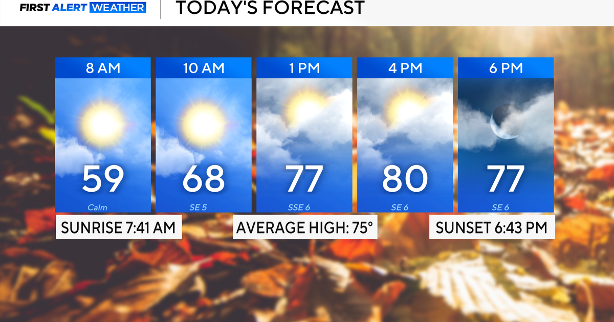 Rain chances on the rise for North Texas this week
October 26, 2026 / 8:16 AM CDT / CBS Texas North Texas woke up to partly to mostly cloudy skies and high temperatures in the 50s and 60s. You'll want to grab that light jacket as you head out the door. We'll continue to…
-
 Severe storms may bring flooding to Texas this week
Heavy rain is likely to continue across the Texas Panhandle on Oct. 26, 2026, bringing even a possibility of flash flooding, per the National Weather Service. After a rainy Sunday, wet weather will likely continue to…
-
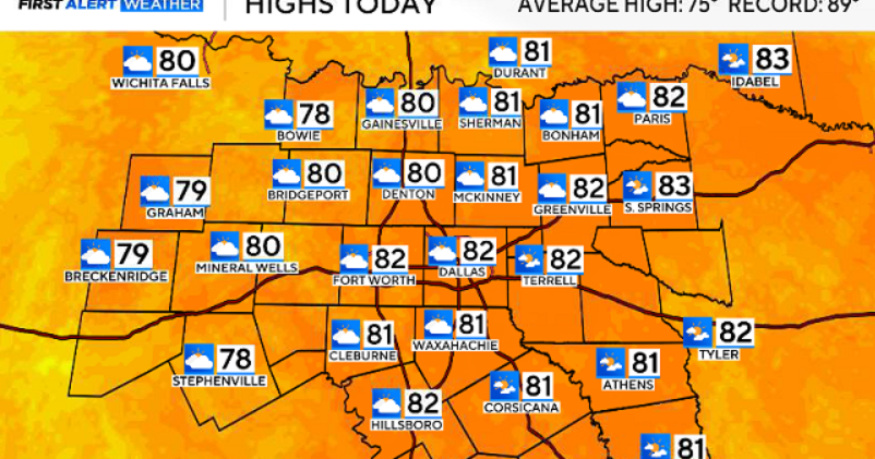 North Texas gets a warm, mild Sunday ahead of clouds and wind this week
October 25, 2026 / 6:51 AM CDT / CBS Texas Expect a warm and dry stretch of weather in North Texas over the next few days, with highs staying in the 80s, but we will see a pattern change as rain chances move in around…
-
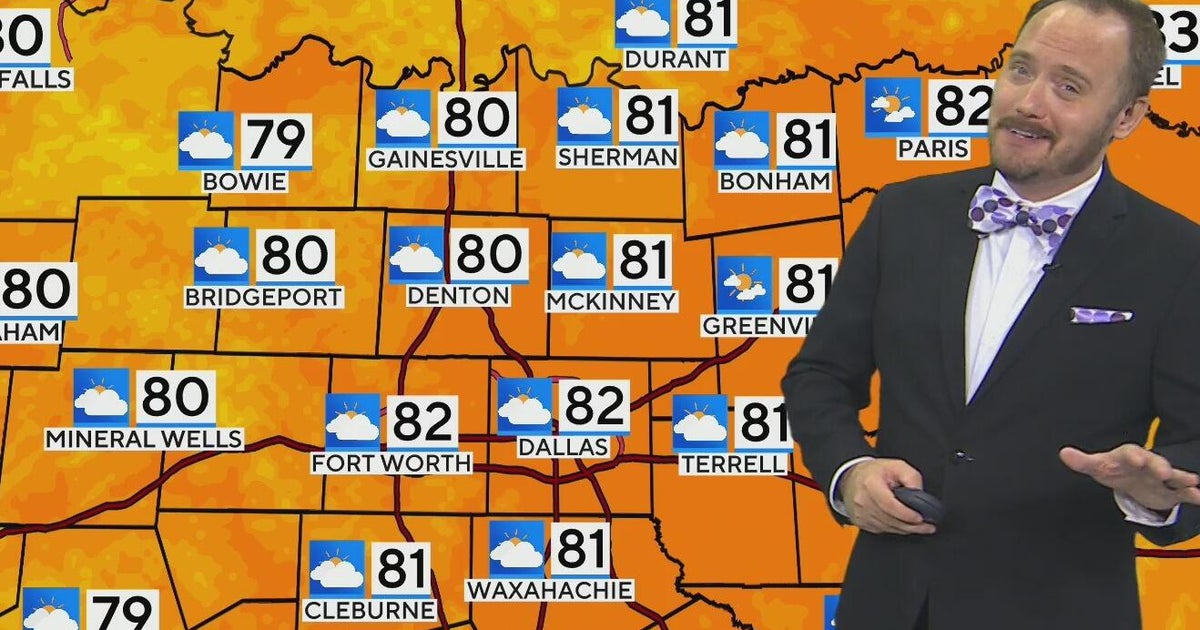 Warm, mild Sunday ahead for North Texas
CBS News Bay Area Morning Edition Weekend 6am WBZ This Morning 8am CBS Colorado Mornings Weekend CBS News Los Angeles Weekend 6am CBS Miami News Sunday Morning CBS News New York Sunday 8am KDKA News This Morning Sunday…
-
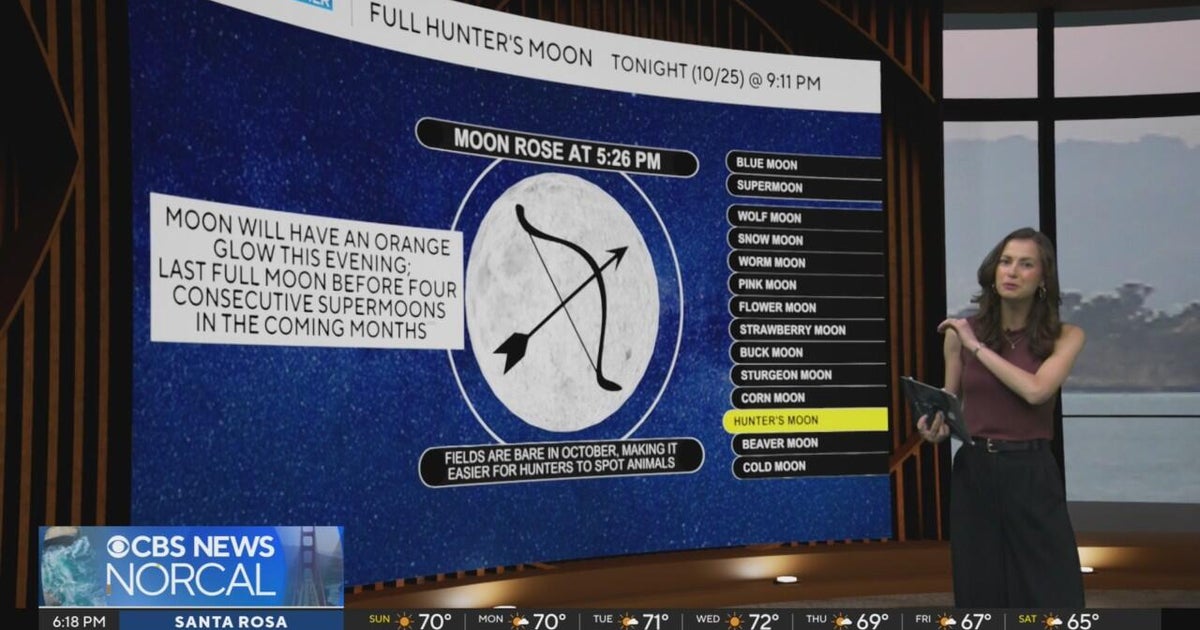 First Alert Weather Sunday evening forecast 10-25-26
CBS News Bay Area Evening Edition Weekend 6pm CBS News Detroit Weekend 6:30pm CBS News Miami 6:30pm CBS Philadelphia at 6:30pm KDKA News Weekend 10pm Your Community Stories From Your Reporters CBS News Texas 5:30pm
-
 Next Weather: WBZ Evening Update for Oct. 25
CBS News Colorado Weekend 5pm CBS News Detroit Weekend 6:30pm CBS News Miami 6:30pm CBS Philadelphia at 6:30pm KDKA News Weekends 6:30pm CBS News Texas 5:30pm
-
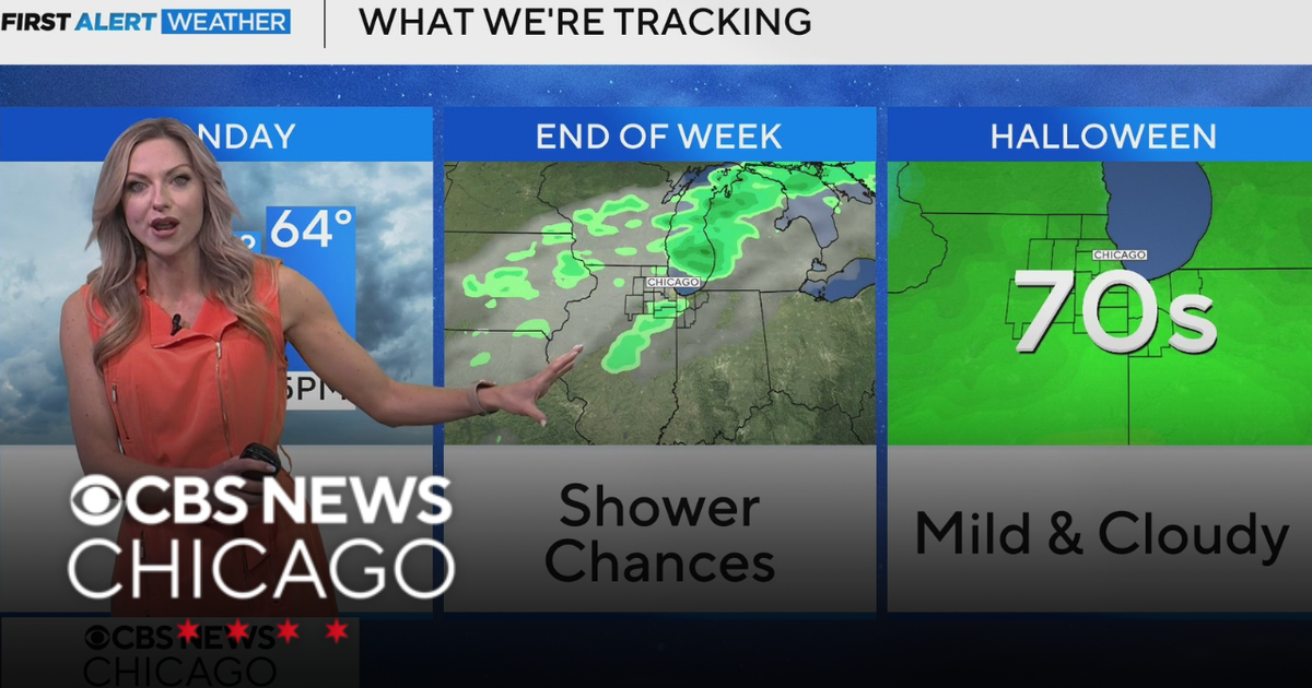 Areas of fog in Chicago Sunday night
CBS News Colorado Weekend 5pm CBS News Detroit Weekend 6:30pm CBS News Miami 6:30pm CBS Philadelphia at 6:30pm KDKA News Weekends 6:30pm CBS News Texas 5:30pm
-
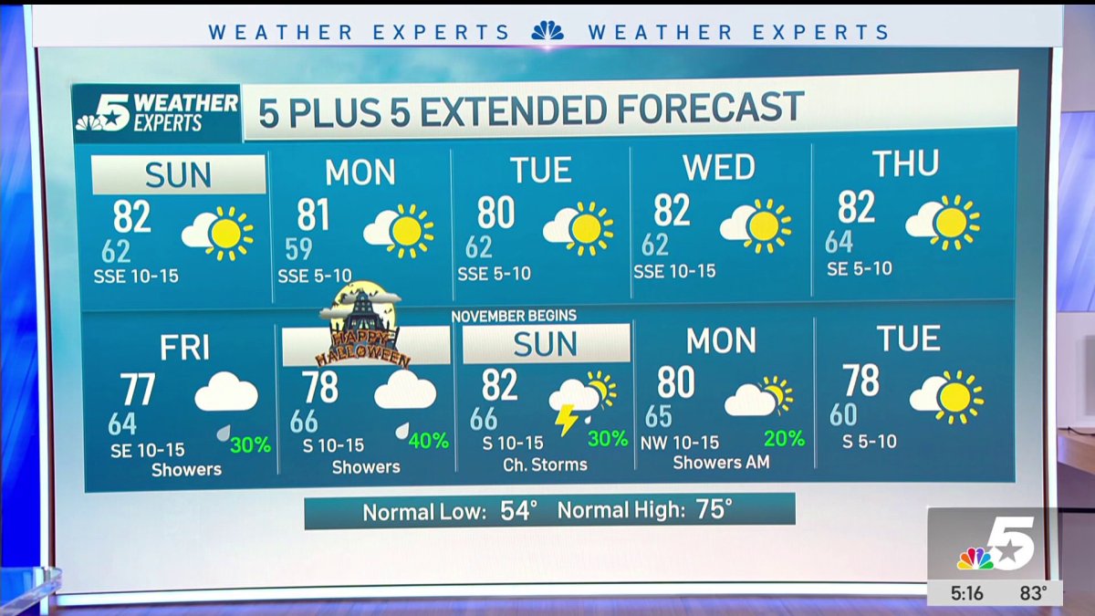 NBC 5 Forecast: A quiet weather pattern continues for North Texas
NBC 5 Dallas-Fort Worth NBC 5 Forecast: A quiet weather pattern continues for North Texas NBC 5 Forecast: Above normal temps, but still nice NBC 5 Forecast: Cool mornings and pleasant afternoons for North Texas
-
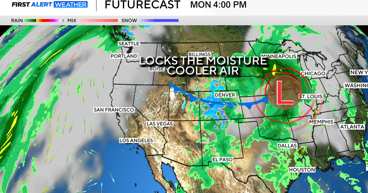 Colorado's dry week could end with a big storm bringing heavy rain and mountain snow
October 26, 2026 / 12:52 PM MDT / CBS Colorado Another storm is looming in Colorado's extended forecast, and we've seen this play out before. The script remains familiar: A surge of Pacific moisture moves into the…
-
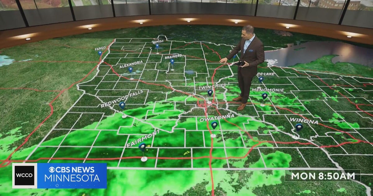 This October is on track to be one of the warmest on record in the Twin Cities | Oct. 26, 2026
CBS News Minnesota is a local news organization that is part of CBS News and Stations. Also referred to as WCCO-TV and channel 4, CBS News Minnesota offers local breaking news, weather coverage and investigative…
Air quality
Air quality is satisfactory, and air pollution poses little or no risk.
Forecast
- MonGood
- TueGood
- WedGood
Brownsville-McAllen, TX reporting area · 1 hr ago. Data from AirNow (EPA and its state, local and tribal partners); preliminary and subject to change.
Sun & moon
Almanac
MonthlyMcallen, records since 1941. Normals 1991–2020. Data from NOAA's Regional Climate Centers (ACIS).
Nearby
Forecasters' discussion
From the National Weather Service office in BRO, issued 5 hrs ago
Key Messages
Updated at 1203 PM CDT Mon Oct 26 2026
- Mostly dry conditions expected though we could see daily low to medium chances of diurnally driven showers/thunderstorms.
- Temperatures will be near normal but increase late week into the 90s for most locations.
- A Coastal Flood Statement is in effect from 3pm-midnight today for the Lower Texas Coast beaches.
Discussion
Issued at 1203 PM CDT Mon Oct 26 2026
Warm and mostly dry conditions are expected across region this week. A nearby shortwave and increased Gulf moisture will allow for daily low to medium (10-50%) chances of diurnally drives showers and thunderstorms through Wednesday, primarily along and east of I-69C. Thursday, rain chances remain in the forecast, but best chances will be along and west of I-69E due to excess moisture moving into northeastern Mexico and Texas from the remnants of Tropical Storm Vance, currently located off the Mexican Pacific coast. Rain chances taper off late week.
Temperatures will remain slightly above normal and slowly climb into the low to mid 90s by this weekend. Overnight lows will be in the mid 60s to low 70s for much of the week, with lows in the 70s by late week into the weekend.
Easterly flow across the Gulf increases the threat of rip currents this week. Additionally, astronomical tides will narrow beaches during high tide cycles each afternoon and evening. A Coastal Flood Statement is in effect today from 3 PM until midnight and additional Coastal Flood Statements may be needed over the next day or two.
Aviation
(18Z TAFS) Issued at 1203 PM CDT Mon Oct 26 2026
VFR conditions will prevail through the TAF period. Easterly winds will remain light and become more southeasterly on Tuesday.
Marine
Issued at 1203 PM CDT Mon Oct 26 2026
Slightly adverse marine conditions are expected today, mainly on the offshore Gulf waters, due to slighlty elevated seas. Otherwise, favorable conditions will prevail with light winds, seas of 4 to 5 ft, and 7 to 8 second periods. Isolated showers and thunderstorms this week could lead to localized areas of increased winds and seas.
Forecasts, observations and alerts in the United States come from the National Weather Service (NOAA); radar from NOAA's Multi-Radar Multi-Sensor system; satellite imagery from NASA's Global Imagery Browse Services (GIBS) and NOAA's GOES satellites; the map from the U.S. Geological Survey's National Map; air quality from AirNow (EPA and its partners); hurricane information from the National Hurricane Center; climate normals and records from NOAA's Regional Climate Centers (ACIS). Forecasts outside the United States and the UV index: MET Norway (CC BY 4.0); observations outside the U.S.: airport reports via NOAA's Aviation Weather Center. Place names: GeoNames (CC BY 4.0). Data are copied on a schedule and may lag the sources; for warnings that affect your safety, follow your local National Weather Service office and emergency officials. Weather news is drawn from the 4Conservative index and reflects what the press published. Terms of use. How to use Weather