Install
Shelbyville, TN Weather
Current conditions
Observed at Shelbyville Bomar Field & Shelbyville Municipal Airport · 51 min ago
Forecast
10-day-
Today
Partly sunny, with a high near 74. Northeast wind 0 to 5 mph.
-
Tonight
Partly cloudy, with a low around 45. North northeast wind around 0 mph.
-
Tuesday
Mostly sunny, with a high near 77. East southeast wind around 0 mph.
National Weather Service forecast updated 8 hrs ago.
Hourly
Hourly forecast- Now72°
- 2 PM73°
- 3 PM73°
- 4 PM74°
- 5 PM72°
- 6 PM69°
- 7 PM64°
- 8 PM58°
- 9 PM55°
- 10 PM54°
- 11 PM51°
- Tue12 AM50°
- 1 AM49°
- 2 AM49°
- 3 AM48°
- 4 AM47°
- 5 AM46°
- 6 AM45°
- 7 AM45°
- 8 AM47°
- 9 AM54°
- 10 AM64°
- 11 AM70°
- 12 PM72°
Daily forecast
Details- TodayOct 26Partly Sunny45°74°
- TueOct 27Mostly Sunny46°77°
- WedOct 28Partly Sunny43°76°
- ThuOct 29Patchy Fog then Sunny45°78°
- FriOct 30Mostly Sunny53°79°
- SatOct 31Slight Chance Rain Showers57%56°77°
- SunNov 1Rain Showers Likely61%54°76°
- MonNov 2Cloudy65°78°
Days after the National Weather Service's seven are MET Norway's outlook, a computer model with no forecaster's review.
Radar
Full mapWeather news
More weather news-
 Farmers’ Almanac Predicts Thanksgiving Weather Forecast
Oct 26, 2026 at 12:16 PM EDT The Farmers’ Almanac has predicted that weather across the U.S. will be fairly typical of late November over Thanksgiving week, with a mix of cool and mild conditions, snow possible in some…
-
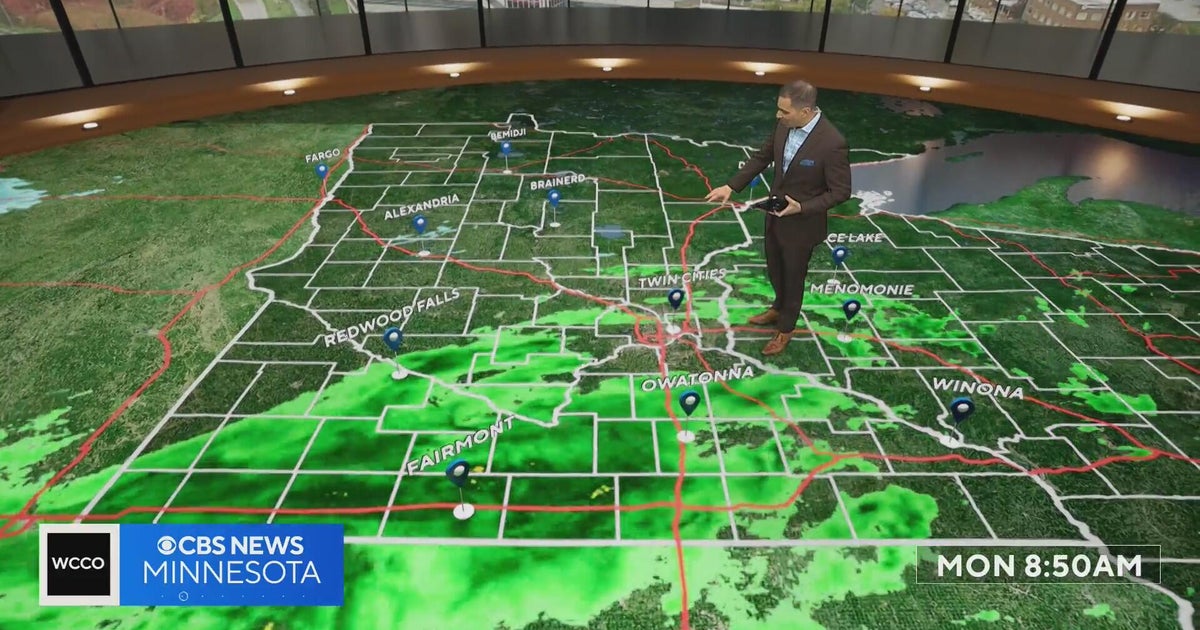 This October is on track to be one of the warmest on record in the Twin Cities | Oct. 26, 2026
CBS News Minnesota is a local news organization that is part of CBS News and Stations. Also referred to as WCCO-TV and channel 4, CBS News Minnesota offers local breaking news, weather coverage and investigative…
-
 Halloween eye safety dos and don’ts: Skip store-bought costume contacts, go easy on glitter
CBS News Minnesota is a local news organization that is part of CBS News and Stations. Also referred to as WCCO-TV and channel 4, CBS News Minnesota offers local breaking news, weather coverage and investigative…
-
 Eyeball olives and a marshmallow spiderweb: How to make a scary snack board
CBS News Minnesota is a local news organization that is part of CBS News and Stations. Also referred to as WCCO-TV and channel 4, CBS News Minnesota offers local breaking news, weather coverage and investigative…
-
 Get your flu shot now, as it may take about 2 weeks to take full effect
Scott Swanson, vice president of Cub Pharmacy, says flu season typically peaks in December and January, so a shot at the end of October protects you by mid-November, ahead of holiday gatherings. Walk-ins and…
-
 A strong cyclone is nearing India’s eastern coast
A potentially dangerous cyclone is rapidly intensifying in the Bay of Bengal and is expected to strike eastern India as soon as late Tuesday into early Wednesday local time. The storm, Cyclone Arnab, is growing into…
-
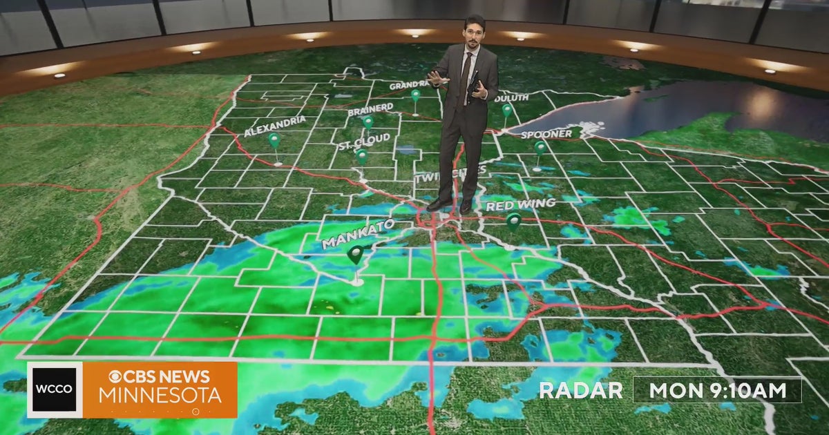 Minnesota weather veers toward soaking rain Monday, with some areas topping an inch | Oct. 26, 2026
Widespread rain moves through, with the heaviest amounts in western and central Minnesota, and highs only in the 40s. Rain exits early Tuesday, then skies gradually clear and highs rebound into the 50s and 60s, WCCO…
-
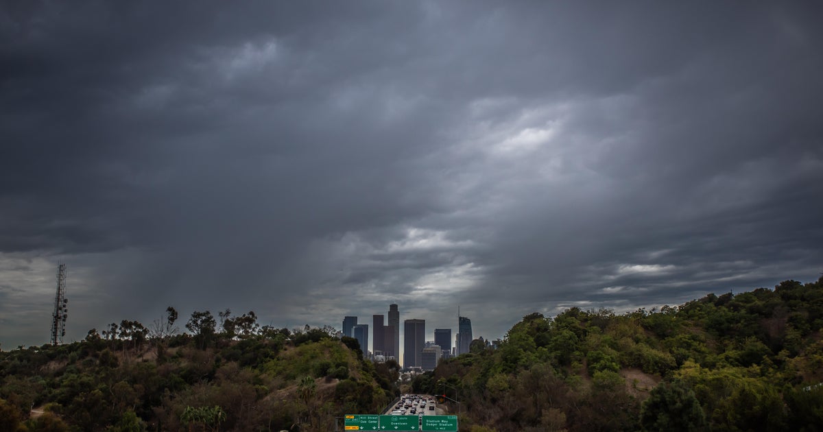 Southern California's Halloween weekend seeing greater potential for rain
October 26, 2026 / 7:48 AM PDT / CBS LA Confidence is growing that Southern California's Halloween weekend will be wet, although it's unclear just how wet as of Monday. According to the National Weather Service, there's…
-
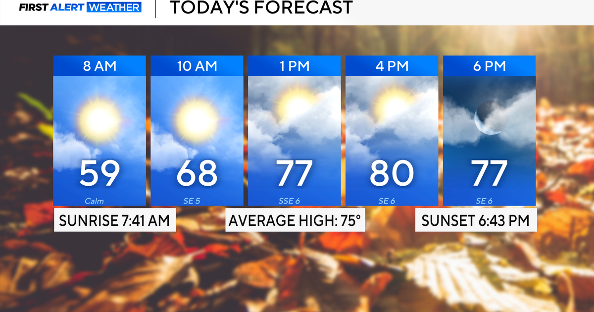 Rain chances on the rise for North Texas this week
October 26, 2026 / 8:16 AM CDT / CBS Texas North Texas woke up to partly to mostly cloudy skies and high temperatures in the 50s and 60s. You'll want to grab that light jacket as you head out the door. We'll continue to…
-
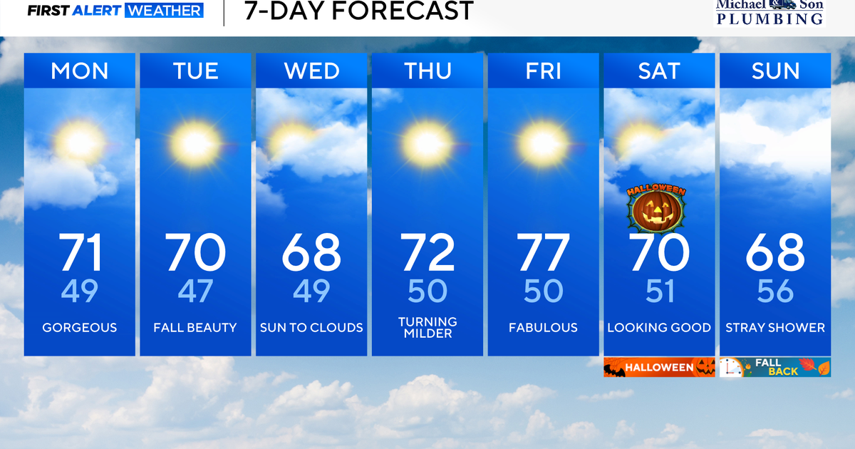 Another stunning week of fall weather coming to Maryland
Updated on: October 26, 2026 / 8:35 AM EDT / CBS Baltimore Get ready for another awesome week of nice fall weather across the state of Maryland. The nice and dry weather should continue into Halloween on Saturday. A…
Air quality
Acceptable. Unusually sensitive people should consider limiting prolonged outdoor exertion.
Forecast
- MonModerate (51)
- TueModerate (52)
Nashville, TN reporting area · 1 hr ago. Data from AirNow (EPA and its state, local and tribal partners); preliminary and subject to change.
Sun & moon
Almanac
MonthlyLewisburg Exp Sta, records since 1890. Normals 1991–2020. Data from NOAA's Regional Climate Centers (ACIS).
Nearby
- Murfreesboro 41 km
- Smyrna 56 km
- Columbia 54 km
- Spring Hill 52 km
- Tullahoma 26 km
- Lewisburg 30 km
- Manchester 34 km
- Christiana 26 km
- Winchester 46 km
- Fayetteville 38 km
- Nolensville 55 km
- Lynchburg 24 km
Forecasters' discussion
From the National Weather Service office in OHX, issued 1 hr ago
Key Messages
Updated at 1203 PM CDT Mon Oct 26 2026
- Warm, sunny days and cool, clear nights will continue through the work week.
- No rain is expected through at least Friday night, but the weather pattern will begin to shift next weekend.
- Drought conditions will continue to worsen in the near-term.
Short Term
(Rest of today through Tuesday) Issued at 1127 AM CDT Mon Oct 26 2026
Some high clouds drifting into Middle Tennessee this morning, but that is the peak of what we can expect for today's weather activity. Highs will be warming into the week, peaking in the mid to upper 70s by the end of the week. For the short term period, we will stay in the mid 70s.
Patchy fog will be possible overnight tonight, as the difference between temperatures and dewpoints shrinks to nothing. Fog could be more widespread as we get into the late night/early morning timeframe, but we will have to see how that pans out. Tuesday will be much the same as today, with highs in the mid to upper 70s.
As RH continues to dwindle in the short term, fire danger concerns continue for Middle Tennessee. The good thing is low wind speeds seem to have been keeping a lid on the potential, but we are still elevated for the next few days. So be mindful of open flames outdoors if you are around them.
Long Term
(Tuesday Night through next Monday) Issued at 1127 AM CDT Mon Oct 26 2026
As temperatures heat up, the UL ridge will begin to flatten over the southeast. This allows some unsettled weather to enter the area starting on Saturday morning and continuing into the next work week. The rain amounts look decent so far, but there is still a lot of disagreement on amounts in the guidance so that will likely shift. Most likely period for heaviest rainfall right now looks to be Saturday night into Sunday morning, with another disturbance coming in on Monday.
Temperatures will stabilize in the mid 70s for highs, but continue warming into the mid to upper 50s for overnight lows through the forecast period.
Aviation
(18Z TAFS) Issued at 1203 PM CDT Mon Oct 26 2026
VFR conditions through the TAF period with passing high level clouds. Light and variable winds under 5 knots.
Forecasts, observations and alerts in the United States come from the National Weather Service (NOAA); radar from NOAA's Multi-Radar Multi-Sensor system; satellite imagery from NASA's Global Imagery Browse Services (GIBS) and NOAA's GOES satellites; the map from the U.S. Geological Survey's National Map; air quality from AirNow (EPA and its partners); hurricane information from the National Hurricane Center; climate normals and records from NOAA's Regional Climate Centers (ACIS). Forecasts outside the United States and the UV index: MET Norway (CC BY 4.0); observations outside the U.S.: airport reports via NOAA's Aviation Weather Center. Place names: GeoNames (CC BY 4.0). Data are copied on a schedule and may lag the sources; for warnings that affect your safety, follow your local National Weather Service office and emergency officials. Weather news is drawn from the 4Conservative index and reflects what the press published. Terms of use. How to use Weather