Install
Bolivar, TN Weather
Current conditions
Forecast for this hour (no station report in the last two hours)
Forecast
10-day-
Saturday Night
Mostly clear, with a low around 46. Southeast wind around 0 mph.
-
Sunday
Sunny. High near 75, with temperatures falling to around 72 in the afternoon. Southeast wind 0 to 5 mph.
-
Sunday Night
Partly cloudy, with a low around 47. Northeast wind around 0 mph.
National Weather Service forecast updated 2 days ago.
Hourly
Hourly forecast- Now47°
- 6 AM46°
- 7 AM47°
- 8 AM52°
- 9 AM57°
- 10 AM63°
- 11 AM67°
- 12 PM70°
- 1 PM72°
- 2 PM75°
- 3 PM75°
- 4 PM75°
- 5 PM72°
- 6 PM68°
- 7 PM64°
- 8 PM60°
- 9 PM56°
- 10 PM53°
- 11 PM52°
- Mon12 AM51°
- 1 AM51°
- 2 AM50°
- 3 AM50°
- 4 AM49°
Daily forecast
Details- TonightOct 22Clear46°
- FriOct 23Sunny46°77°
- SatOct 24Sunny46°77°
- TodayOct 25Sunny47°75°
- MonOct 26Partly Sunny46°73°
- TueOct 27Partly Sunny46°75°
- WedOct 28Mostly Sunny45°74°
- ThuOct 29Sunny75°
- FriOct 30Partly cloudy52°79°
Days after the National Weather Service's seven are MET Norway's outlook, a computer model with no forecaster's review.
Radar
Full mapWeather news near Bolivar
More weather news-
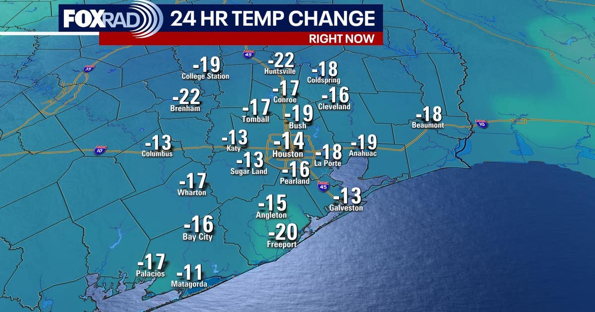 Houston weather: Fall cold front brings cooler weather
FOX 26 meteorologist Angie Rodriguez has your morning forecast for Oct. 17. A cold front moved across southeast Texas Friday morning, ushering in cooler, refreshing weather in Houston over the weekend. Temperatures will…
-
 First Alert Weather: Here's when earlier sunsets are coming to Middle Tennessee
WSMV First Alert Weather: Here's when earlier sunsets are coming to Middle Tennessee Christa Pike: Execution team gave warning before attempted lethal injection Eyes in the Tennessee skies: Full Hunter's Moon CMA…
-
 Milder and Wetter? How a Super El Niño could shape Middle Tennessee's winter
WSMV Milder and Wetter? How a Super El Niño could shape Middle Tennessee's winter Eyes in the Tennessee skies: Full Hunter's Moon First Alert Weather: Here's when earlier sunsets are coming to Middle Tennessee First…
-
 Daylight saving time ends Nov. 1, changing sunrise and sunset times in East Tennessee
KNOXVILLE, Tenn. (WVLT) - Daylight saving time ends Nov. 1, changing the timing of sunrise and sunset across East Tennessee. Clocks fall back from 2 a.m. to 1 a.m. on Nov. 1, marking the end of daylight saving time and…
-
 Severe to Exceptional Drought Conditions Persist Across Tennessee
Radio7Media - WLX, WWLX, WDXE todayOctober 22, 2026 21 Drought conditions continue across much of Tennessee, with portions of West Tennessee experiencing exceptional drought, the most severe classification. The latest…
-
 Another fantastic fall day on tap for the Tennessee Valley
Local 3 News Good morning! ItâÂÂs another quiet morning with crisp temperatures in the 40s Highs will reach the 70s again, with plenty of sunshine A few areas near the Blue Ridge Mountains could sneak back into the…
-
 First Alert Forecast: Dry, warm afternoons continue across Middle Tennessee
NASHVILLE, Tenn. (WSMV) - More of the same as the seasonal, dry weather continues across the Midstate. For life-saving weather alerts, customized messages on conditions and forecasts, and videos detailing upcoming…
-
 2026 has been one of the driest years ever for Middle Tennessee
WSMV 2026 has been one of the driest years ever for Middle Tennessee First Alert Weather Plus PMC, JamJuice launch $5 per day parking for musicians in Nashville Driver, Franklin County deputy injured in crash while…
- First Alert Forecast: Chilly mornings, warm afternoons here to stay in Middle Tennessee
NASHVILLE, Tenn. (WSMV) -The comfortable fall weather continues this week in Middle Tennessee and southern Kentucky. It will be a touch warmer this afternoon, with highs in the upper 70s for the day. It will be mostly…
-
 Quiet Weather All Week Long, Leaves Beginning to Turn Over in West Tennessee
wbbjtv.com Quiet Weather All Week Long, Leaves Beginning to Turn Over in West Tennessee Secretary of State stops in West Tennessee with two weeks until Election Day Martin city leaders discuss regulations to get ahead…
Air quality
Acceptable. Unusually sensitive people should consider limiting prolonged outdoor exertion.
Jackson, TN reporting area · 1 hr ago. Data from AirNow (EPA and its state, local and tribal partners); preliminary and subject to change.
Sun & moon
Almanac
MonthlyBolivar Water Works, records since 1894. Normals 1991–2020. Data from NOAA's Regional Climate Centers (ACIS).
Nearby
- Jackson 43 km
- Corinth 55 km
- Brownsville 45 km
- Oakland 48 km
- Henderson 37 km
- Ripley 59 km
- Whiteville 17 km
- Selmer 37 km
- Somerville 33 km
- Hickory Withe 55 km
- Alamo 60 km
- Bells 51 km
Forecasters' discussion
From the National Weather Service office in MEG, issued 6 hrs ago
Key Messages
Issued at 1144 PM CDT Sat Oct 24 2026
- Dry conditions and above-normal temperatures will persist across the Mid-South through much of the next week.
- Elevated fire weather conditions will continue into early next week due to warm temperatures, low relative humidity, and dry vegetation.
Discussion
(Tonight through next Saturday) Issued at 1020 PM CDT Sat Oct 24 2026
Little to no change of note this evening with current temperatures spanning the 50s and 60s under clear skies. An anomalous 592dam ridge continues to dominate the weather pattern across the Mississippi Valley bringing warm afternoons in the mid 70s to lower 80s and chilly mornings in the low 40s to mid 50s. A very dry airmass also remains fixed over much of the southeastern CONUS with current PWAT values around 0.5-0.7", nearing the 25th percentile for October, across the Mid-South. Dry air will mix down Sunday afternoon with decreased dewpoints in the 40s once again. As such, fire weather concerns will exist Sunday. Please continue to adhere to local burn bans, properly dispose of cigarettes and matches, and avoid using equipment that creates sparks.
By midweek, southwest flow will begin to build across the Mississippi Valley as troughing from the four corners region begins to push into the upper Midwest. The forecast, however, will see little to no change as a persistent dry airmass remains over the Middle Mississippi Valley. We could see an increase in high level cloud cover especially over our northern counties as embedded shortwaves move over these areas, but no precipitation is expected. Despite upper-level southwest flow building in, fire weather concerns will persist through much of the next week as mixing will likely result in lowered dewpoints in the 40s to lower 50s each afternoon.
The biggest question is, when will we see rain next. Ensemble members continue to push a pattern change further and further back. Latest LREF guidance is hinting at a deepening trough moving into the Pacific Northwest Friday. This system looks to drive the upper-level pattern across the western CONUS. By Saturday (Halloween), a subtropical jet begins to strengthen over the aforementioned area, pushing moisture further east, and further into our neck of the woods. This may be just enough moisture for us to see some very light showers next weekend, however, chances are only around 20-30%. If precipitation is able to sneak into the Mid-South, appreciable rainfall is not expected. Maybe some good news, the latest CPC 6-10 day outlook does have us leaning above normal for precipitation heading into November. We'll play the wait and see game for now.
AEH
Aviation
(06Z TAFS) Issued at 1144 PM CDT Sat Oct 24 2026
No changes, VFR. Light southeast winds tonight and tomorrow will trend more easterly late tomorrow.
Fire Weather
Issued at 1020 PM CDT Sat Oct 24 2026
Elevated fire weather concerns will persist through at least midweek as high pressure remains fixed over the region. A combination of above normal afternoon temperatures, dry fuels, and minimum relative humidity values teetering 40% or less will promote increased fire starts and growth. 20 ft winds will remain light through this period, but aforementioned conditions will overrule light winds. A Rangeland Fire Danger Statement has been issued for the entire Mid-South Sunday as minimum relative humidity values range between 25-35% in combination with dry fuels. No wetting rain is forecast over the next 7 days. Overnight fog can't be ruled out each morning, especially in low- lying areas.
Forecasts, observations and alerts in the United States come from the National Weather Service (NOAA); radar from NOAA's Multi-Radar Multi-Sensor system; satellite imagery from NASA's Global Imagery Browse Services (GIBS) and NOAA's GOES satellites; the map from the U.S. Geological Survey's National Map; air quality from AirNow (EPA and its partners); hurricane information from the National Hurricane Center; climate normals and records from NOAA's Regional Climate Centers (ACIS). Forecasts outside the United States and the UV index: MET Norway (CC BY 4.0); observations outside the U.S.: airport reports via NOAA's Aviation Weather Center. Place names: GeoNames (CC BY 4.0). Data are copied on a schedule and may lag the sources; for warnings that affect your safety, follow your local National Weather Service office and emergency officials. Weather news is drawn from the 4Conservative index and reflects what the press published. Terms of use.