Install
Welcome, SC Weather
Current conditions
Observed at Greenville Downtown Airport · 20 min ago
Forecast
10-day-
Today
Sunny, with a high near 76. North northeast wind 2 to 6 mph.
-
Tonight
Mostly clear, with a low around 49. North northeast wind around 6 mph.
-
Wednesday
Sunny, with a high near 73. East northeast wind 2 to 8 mph.
National Weather Service forecast updated 6 hrs ago.
Hourly
Hourly forecast- Now68°
- 1 PM72°
- 2 PM74°
- 3 PM74°
- 4 PM75°
- 5 PM74°
- 6 PM71°
- 7 PM66°
- 8 PM63°
- 9 PM61°
- 10 PM59°
- 11 PM57°
- Wed12 AM56°
- 1 AM54°
- 2 AM53°
- 3 AM52°
- 4 AM51°
- 5 AM50°
- 6 AM50°
- 7 AM49°
- 8 AM49°
- 9 AM52°
- 10 AM59°
- 11 AM64°
10-day forecast
Details- TodayOct 20Sunny49°76°
- WedOct 21Sunny46°73°
- ThuOct 22Sunny49°75°
- FriOct 23Sunny45°71°
- SatOct 24Sunny44°65°
- SunOct 25Sunny44°69°
- MonOct 26Sunny48°74°
- TueOct 27Mostly sunny47°74°
- WedOct 28Cloudy51°69°
- ThuOct 29Partly cloudy51°74°
Days after the National Weather Service's seven are MET Norway's outlook, a computer model with no forecaster's review.
Radar
Full mapWeather news near Welcome
More weather news- Weather Today
Weather Forecast and Conditions for Welcome to Nebraska Sign, Van Tassell, Wyoming The Weather Channel Welcome to Nebraska Sign Weather Welcome to Nebraska Sign, Van Tassell, Wyoming Welcome to Nebraska Sign Daily…
-
 Rain is Coming: Prepare Your Home and Family
Rain is expected to return to San Diego County this week. The National Weather Service forecasts cooler temperatures, showers and a chance of thunderstorms across the region beginning Wednesday evening and continuing…
- Claim: The “Super El Niño” is on Track to be the Wettest Ever
As storms soak the Aussie East Coast, people are starting to ask, whatever happened to that Super El Niño which was supposed to bring dry conditions? This year remains on track to become Australia’s wettest El Niño year…
- Orlando Weather Forecast Gusty Winds Showers And Coastal Hazards
Orlando is waking up to cloudy skies and a breezy Monday, with temperatures near 64 degrees before sunrise and a high near 80. Passing showers are possible through early afternoon before the sky turns partly sunny…
- Soggy in San Jose: Midweek Rain Puts Chill on South Bay
San Jose was waking up under cloudy skies Monday, with temperatures in the upper 50s before a partly sunny afternoon near 70 degrees. The mild start is the front end of a sharper weather shift, with a gentle to moderate…
-
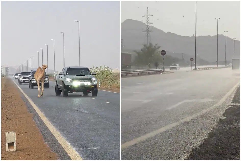 Watch: Rains, hail hit Fujairah as camel strolls along rain-soaked Sharjah road
Mon, Oct 19, 2026 | Jumada al-Awwal 7, 1448 | Fajr 05:02|DXB 31.7°C Parts of the UAE saw more rain on Monday, October 19, with hail falling in Fujairah and a camel spotted taking a leisurely stroll along a rain-soaked…
-
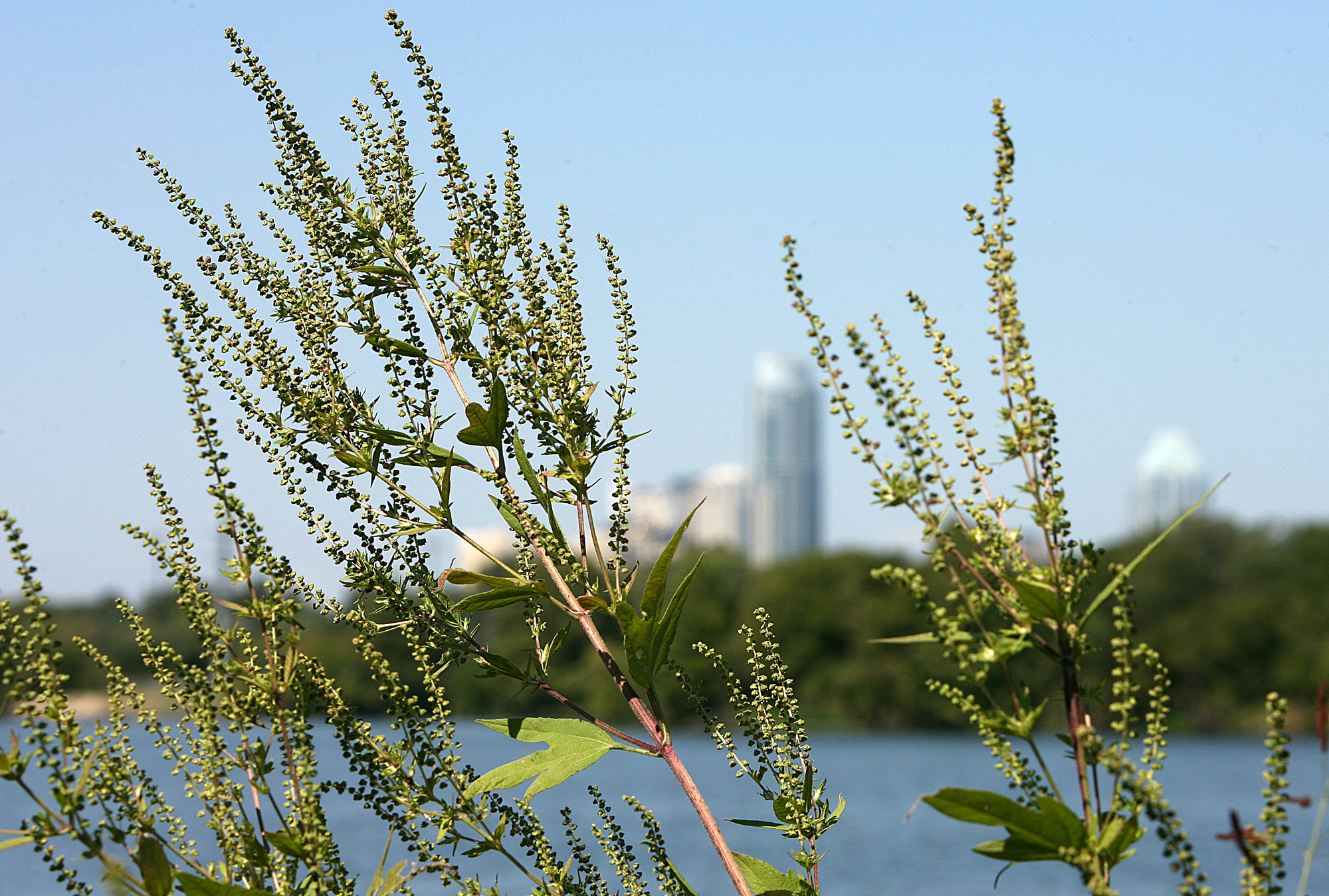 Austin pollen forecast as warm, dry weather returns
Ragweed pollen is wreaking havoc with allergies in Austin. Austin’s brief taste of fall is giving way to a stretch of sunny, warmer weather that could also keep allergy symptoms in the picture. Last week’s cold front…
-
 Settled Weather And Warmer Temperatures Ahead
While many will be making the most of the fine, settled weather, the lack of rain may be less welcome for some, says MetService Meteorologist Sophie Huntington. 19/10/2026 Covering period of Monday 19th – Friday 23rd…
-
 Real News: The Christi Reece Group welcomes new agent to the team
The Grand Junction Daily Sentinel Chance of Rain: 3% Wind: NE @ 8 mph UV Index: 4 Moderate Chance of Rain: 15% Wind: ESE @ 7 mph Chance of Rain: 24% Wind: SE @ 9 mph Chance of Rain: 44% Wind: SE @ 10 mph UV Index: 3…
-
 Here comes the sun: Warm, fine weather ahead for much of NZ
Warmer temperatures and plenty of sunshine are on the way for much of New Zealand this week, with settled conditions expected to continue into the start of Labour Weekend. MetService said a slow-moving high-pressure…
Air quality
Air quality is satisfactory, and air pollution poses little or no risk.
Greenville-Spartanburg, SC reporting area · 55 min ago. Data from AirNow (EPA and its state, local and tribal partners); preliminary and subject to change.
Sun & moon
Almanac
MonthlyGreenville-Spartanburg Area, records since 1884. Normals 1991–2020. Data from NOAA's Regional Climate Centers (ACIS).
Nearby
- Greenville 5 km
- Spartanburg 48 km
- Greer 23 km
- Anderson 41 km
- Mauldin 13 km
- Taylors 17 km
- Easley 15 km
- Simpsonville 20 km
- Wade Hampton 13 km
- Clemson 40 km
- Berea 7 km
- Gantt 3 km
Forecasters' discussion
From the National Weather Service office in GSP, issued 3 hrs ago
What Has Changed
RH values trending drier for today.
Key Messages
1. A Fire Danger Statement remains in effect for northeast Georgia today from 12 PM through 7 PM. 2. Dry and quiet weather through early next week. Highs will be mostly above normal outside of the weekend.
Discussion
Key message 1: A Fire Danger Statement remains in effect for northeast Georgia today from 12 PM through 7 PM.
Dry airmass and warming temperatures keep a low-end fire danger threat around today, mainly across northeast Georgia. Above normal temperatures combined with 10-15 mph winds just above the boundary layer acting to enhance afternoon mixing should allow lower dewpoints to develop. Thus, minimum RH values should drop down to 20- 25% for most locations this afternoon and early evening. A Fire Danger Statement remains in effect for northeast Georgia from noon to 7 PM with minimum RH values falling to or below 25%. Slightly higher gusts of 15-20 mph should be mainly confined to the eastern zones this afternoon.
Key message 2: Dry and quiet weather through early next week. Highs will be mostly above normal outside of the weekend.
Pattern over the next 7 days remains benign. A ridge out west amplifies across the central CONUS and eventually migrates eastward into the southeast. Surface high pressure remains the dominant feature over the area through the end of the forecast period, keeping dry air locked in place. Guidance hints at brief dry CAD developing Friday into Saturday as a coastal low lifts away from the Mid-Atlantic. This will allow for the return of cooler temperatures Friday into the weekend, with highs end up around 5 degrees below normal on Saturday. Highs should end up above normal the rest of the period.
Aviation
At KCLT and elsewhere: Other than some fog in the mountain valleys and around some of the lakes, VFR conditions will continue at all terminals through the 12z TAF period. At the time of TAF issuance, lake fog was close, but not expected to affect KHKY or KAND. Wind will be light N to NE, slightly stronger in the aftn, but still around 5-6 kts (except 8 kt at KCLT).
Outlook: Dry, VFR conditions persist through the week, and into the weekend. Patchy fog in the mountain valleys and around some of the major lakes may be possible each morning.
Forecasts, observations and alerts in the United States come from the National Weather Service (NOAA); radar from NOAA's Multi-Radar Multi-Sensor system; satellite imagery from NASA's Global Imagery Browse Services (GIBS) and NOAA's GOES satellites; the map from the U.S. Geological Survey's National Map; air quality from AirNow (EPA and its partners); hurricane information from the National Hurricane Center; climate normals and records from NOAA's Regional Climate Centers (ACIS). Forecasts outside the United States and the UV index: MET Norway (CC BY 4.0); observations outside the U.S.: airport reports via NOAA's Aviation Weather Center. Place names: GeoNames (CC BY 4.0). Data are copied on a schedule and may lag the sources; for warnings that affect your safety, follow your local National Weather Service office and emergency officials. Weather news is drawn from the 4Conservative index and reflects what the press published. Terms of use.