Install
Homeland Park, SC Weather
Current conditions
Observed at Anderson, Anderson County Airport · 43 min ago
Forecast
10-day-
Monday Night
Mostly clear, with a low around 43.
-
Tuesday
Sunny, with a high near 74.
-
Tuesday Night
Mostly clear, with a low around 46.
National Weather Service forecast updated 4 days ago.
Hourly
Hourly forecast- Now49°
- 1 AM48°
- 2 AM47°
- 3 AM47°
- 4 AM46°
- 5 AM46°
- 6 AM44°
- 7 AM43°
- 8 AM44°
- 9 AM50°
- 10 AM57°
- 11 AM64°
- 12 PM68°
- 1 PM71°
- 2 PM73°
- 3 PM74°
- 4 PM74°
- 5 PM73°
- 6 PM70°
- 7 PM66°
- 8 PM62°
- 9 PM59°
- 10 PM56°
- 11 PM54°
10-day forecast
Details- TonightOct 22Clear47°
- FriOct 23Sunny47°70°
- SatOct 24Sunny44°68°
- SunOct 25Sunny45°68°
- MonOct 26Sunny43°71°
- TodayOct 27Sunny46°74°
- WedOct 28Mostly Sunny48°72°
- ThuOct 29Mostly Sunny74°
- FriOct 30Sunny54°76°
- SatOct 31Cloudy0.31 in56°77°
Days after the National Weather Service's seven are MET Norway's outlook, a computer model with no forecaster's review.
Radar
Full mapWeather news in South Carolina
More weather news-
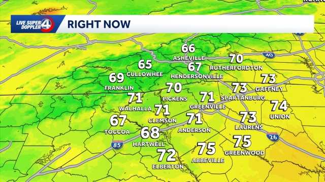 Temperatures warm up later this week in South Carolina: October 26 forecast
Temperatures heat up ahead of Halloween weekend in the Upstate. Seasonable temperatures are expected for the majority of this week with highs in the 70s! By Friday, we will see temperatures above average before clouds…
- Workweek warmup ahead in South Carolina: October 25 forecast
Highs return to the 70s in most hometowns This week will feature warm temperatures and more cloud cover in the Upstate of South Carolina, Western North Carolina and Northeast Georgia. The school and workweek will kick…
-
 FIRST ALERT: Nice, fall-like forecast ahead Sunday for the last day of the SC State Fair
COLUMBIA, S.C. (WIS) - Another picture-perfect fall forecast is in store Sunday for the last day of the State Fair. We’ll close out the weekend with more sunshine and pleasant temperatures Sunday afternoon! Highs are…
- Staying cool and dry Saturday in South Carolina: October 24 forecast
Cool morning ahead, breezy at times with highs in the 70s. Staying dry this weekend. Sunshine lingers into the Sunday. Expect highs in the 60s and lows in the 30s and 40s. Clouds are expected to increase just a bit by…
-
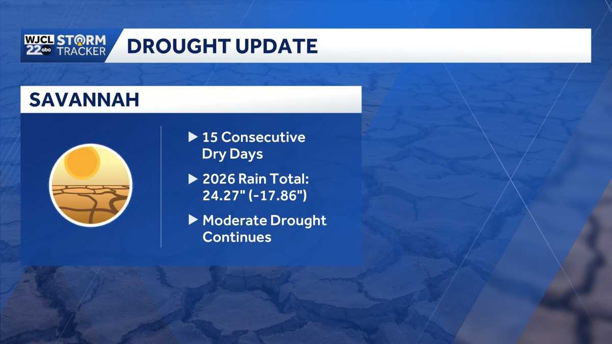 Rain chances on the horizon...the timing for Southeast Georgia, Lowcountry
A two plus week dry spell will continue for the next several days across Southeast Georgia and the Lowcountry. The next chance of showers is Saturday. The year to date rainfall deficit in Savannah is now at nearly 18"!…
-
 FIRST ALERT: Warmer temperatures return later this week
COLUMBIA, S.C. (WIS) - This stretch of fantastic weather will continue the next few days! Good morning! High pressure remains in control today, continuing the stretch of fantastic weather that’s been in place since last…
-
 First Alert | A beautiful start to the work week
MYRTLE BEACH, SC (WMBF) - The beautiful weather continues into the work week! Mild mornings and clear afternoons are the story all week. It’ll be a slightly warmer start when you jump out the door on the way to school…
-
 Hyderabad weather update: Will entire Telangana receive heavy rainfall as Andhra gets cyclonic storm alert?
Farmers have been warned by the IMD that light to moderate rain or thundershowers are very likely to occur at a few places in Telangana on Tuesday A depression over the Bay of Bengal is expected to intensify into a…
-
 FIRST ALERT: Steady warm up expected by the end of the upcoming week
COLUMBIA, S.C. (WIS) - High temperatures are forecast to climb back above average by the end of the upcoming work week and possibly into next weekend. We’ll finish the weekend with a cool, quiet forecast as…
-
 Jamie Ertle’s First Alert Forecast for Oct. 25, 2026
In the mean time, dry conditions and slightly below normal temperatures will continue through early next week before gradually warming up by the end of the week, HALLOWEEN! Sunday: 76 and mostly sunny, NE winds 15-20…
Air quality
Acceptable. Unusually sensitive people should consider limiting prolonged outdoor exertion.
Greenville-Spartanburg, SC reporting area · 1 hr ago. Data from AirNow (EPA and its state, local and tribal partners); preliminary and subject to change.
Sun & moon
Almanac
MonthlyHartwell, records since 1908. Normals 1991–2020. Data from NOAA's Regional Climate Centers (ACIS).
Nearby
- Greenville 49 km
- Anderson 4 km
- Mauldin 48 km
- Greenwood 56 km
- Easley 40 km
- Simpsonville 48 km
- Wade Hampton 57 km
- Clemson 28 km
- Berea 50 km
- Gantt 43 km
- Five Forks 55 km
- Parker 47 km
Forecasters' discussion
From the National Weather Service office in GSP, issued 5 hrs ago
What Has Changed
Precipitation chances have trended slightly higher for the coming weekend.
Updated the aviation discussion for the 00z TAF issuance.
Key Messages
1. Dry conditions persist over our region through at least Friday with temperatures warming to above normal. Rain chances increase this weekend.
Discussion
Key message 1: Dry conditions persist over our region through at least Friday with temperatures warming to above normal. Rain chances increase this weekend.
Relatively pleasant week ahead with high pressure remaining parked over the southeast through at least Friday. This keeps rain chances away and conditions dry. After a small dip in daytime highs over the past weekend, temps slowly creep back to normal and a tick over toward the end of the week. Toward the end of the work week, a slight increase in surface moisture warms overnight lows gradually, keeping freezing temps and frost chances away.
By Saturday, guidance depicts a kink in the general upper flow to the west, developing a series of shortwaves that could cross the CWA and increase rain chances. At this time, it lines up with a surge in moisture at the surface and could bring some rain. At this time, the chances for receiving 1 inch of rain or more across any location in the area is only 25-30%. Highest chances are for Sunday. Confidence in this potential system remains low to medium.
Aviation
At KCLT and elsewhere: VFR conditions will prevail at all terminals through the TAF period. A few instances of patchy mountain valley fog cannot be completely ruled out early Tuesday morning, but should mix out quickly after sunrise. Winds will remain weak and out of the north/northeast.
Outlook: Mostly VFR conditions through the work week. Mountain valley fog and low stratus possible each morning. Restrictions may return for the weekend.
Forecasts, observations and alerts in the United States come from the National Weather Service (NOAA); radar from NOAA's Multi-Radar Multi-Sensor system; satellite imagery from NASA's Global Imagery Browse Services (GIBS) and NOAA's GOES satellites; the map from the U.S. Geological Survey's National Map; air quality from AirNow (EPA and its partners); hurricane information from the National Hurricane Center; climate normals and records from NOAA's Regional Climate Centers (ACIS). Forecasts outside the United States and the UV index: MET Norway (CC BY 4.0); observations outside the U.S.: airport reports via NOAA's Aviation Weather Center. Place names: GeoNames (CC BY 4.0). Data are copied on a schedule and may lag the sources; for warnings that affect your safety, follow your local National Weather Service office and emergency officials. Weather news is drawn from the 4Conservative index and reflects what the press published. Terms of use. How to use Weather