Install
Progress, PA Weather
Current conditions
Observed at Harrisburg, Capital City Airport · 30 min ago
Forecast
10-day-
Tonight
Clear, with a low around 42. North wind 3 to 7 mph.
-
Wednesday
Sunny, with a high near 67. North wind 3 to 7 mph.
-
Wednesday Night
Mostly clear, with a low around 38. North wind around 6 mph.
National Weather Service forecast updated 1 hr ago.
Hourly
Hourly forecast- Now53°
- 11 PM51°
- Wed12 AM49°
- 1 AM48°
- 2 AM47°
- 3 AM47°
- 4 AM46°
- 5 AM44°
- 6 AM44°
- 7 AM43°
- 8 AM43°
- 9 AM46°
- 10 AM53°
- 11 AM55°
- 12 PM57°
- 1 PM60°
- 2 PM62°
- 3 PM64°
- 4 PM67°
- 5 PM64°
- 6 PM63°
- 7 PM58°
- 8 PM54°
- 9 PM53°
10-day forecast
Details- TonightOct 20Clear42°
- WedOct 21Sunny38°67°
- ThuOct 22Sunny38°67°
- FriOct 23Sunny35°60°
- SatOct 24Patchy Frost then Sunny38°60°
- SunOct 25Sunny43°65°
- MonOct 26Mostly Sunny47°69°
- TueOct 27Mostly Sunny63°
- WedOct 28Cloudy0.04 in37°50°
- ThuOct 29Cloudy0.09 in46°64°
Days after the National Weather Service's seven are MET Norway's outlook, a computer model with no forecaster's review.
Radar
Full mapWeather news near Progress
More weather news-
 RFD-TV Weekly Crop Progress and Livestock Production Update — Monday, October 19, 2026
Producers are balancing harvest needs with winter wheat establishment, forage conditions, livestock water supplies and the opportunity to rebuild soil moisture heading into 2027. RFD-TV Weekly Crop Progress and…
-
 Adams County weather Oct. 20-26: Sunshine, crisp mornings, cool nights
Autumn settles comfortably across Adams County next week, delivering a stretch of weather that would please just about anyone planning outdoor activities. Autumn settles comfortably across Adams County next week…
-
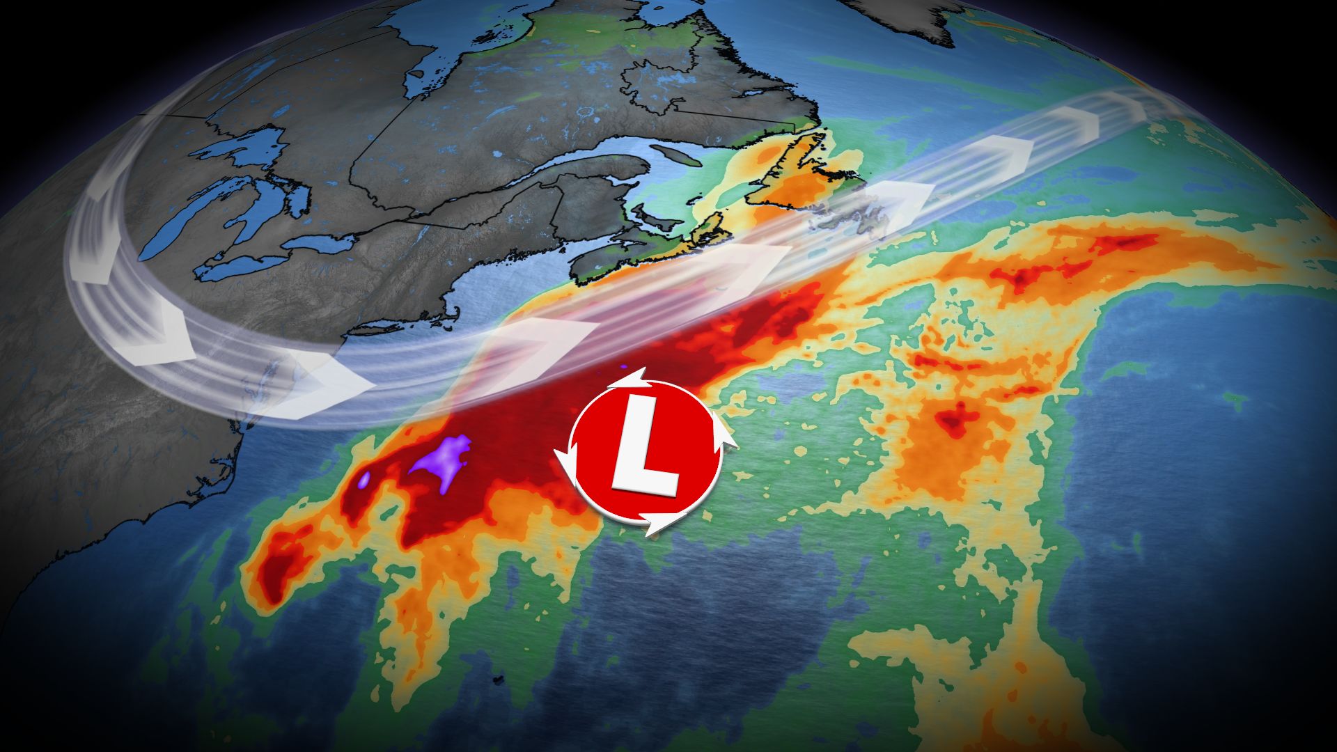 Nor’easter may impact Atlantic Canada late this week as forecasters track developing low-pressure system
Home » Trending » Nor’easter may impact Atlantic Canada late this week as forecasters track developing low-pressure system Atlantic Canada could face significant weather challenges later this week as meteorologists…
-
 Bristol Weather Forecast: Rainy and Damp Conditions Expected Today
At SSBCrack News, our dedicated editorial team brings you the latest and most reliable updates on Defence, Geopolitics, Military Affairs, Science, and Technology. Driven by a passion for national security and strategic…
-
 Bristol weather forecast for October 20, 2026: Light rain and cool temperatures expected
The Times of India Bristol, October 20, 2026, is set to experience a notably damp day, characterized by light rain and a high likelihood of cloudy skies The temperature is expected to reach a maximum of 12°C, while the…
-
 Frost in Indiana could impact corn yields in isolated areas
Purdue Extension’s corn specialist says the state’s first frost of the season could have an impact on corn yields. Dan Quinn tells Brownfield, “If the crop hasn’t reached maturity yet, then we have impacts from both…
-
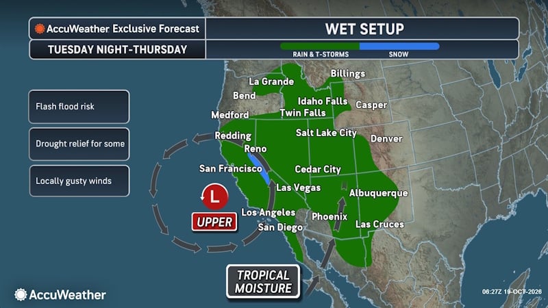 Tropical Threat Brewing Off Mexico Could Funnel Heavy Rain Toward the US Southern Plains
People from western Mexico into the southern Plains in the U.S. need to closely monitor the developing tropical threat as moisture from the system could eventually stream north. AccuWeather hurricane experts are…
-
 Wet Weather Slows Combines Across Ohio
October 19, 2026 2026 Ohio Crop Progress Report, Crops, Top Headlines Mature corn for the state is sitting at 78%, above last week’s 68% but below the 93% average. Corn harvested is sitting at 21%, below the 33%…
-
 Another East Pacific storm brewing, eyeing the southern Mexican shoreline
AccuWeather hurricane experts are once again monitoring a high risk for tropical development southwest of Mexico in the wake of Trudy. Over the very warm waters south of Mexico, forecasters are watching the cluster of…
-
 Another Nor’easter Is Brewing Off the Coast. Here’s What It Means for the Jersey Shore This Week.
If you thought the nor’easter from last month had us covered for a while, think again. There’s another storm forming off the coast. Here’s what you should know. The good news: this storm is not expected to follow the…
Air quality
Acceptable. Unusually sensitive people should consider limiting prolonged outdoor exertion.
Forecast
- TueGood (49)
- WedGood (45)
- ThuGood (45)
Susquehanna Valley, PA reporting area · 1 hr ago. Data from AirNow (EPA and its state, local and tribal partners); preliminary and subject to change.
Sun & moon
Almanac
MonthlyMiddletown-Harrisburg Area, records since 1888. Normals 1991–2020. Data from NOAA's Regional Climate Centers (ACIS).
Nearby
- Lancaster 52 km
- Harrisburg 5 km
- York 37 km
- Lebanon 36 km
- Carlisle 32 km
- Hanover 55 km
- Hershey 15 km
- Ephrata 57 km
- Colonial Park 3 km
- Weigelstown 34 km
- Elizabethtown 24 km
- Shiloh 34 km
Forecasters' discussion
From the National Weather Service office in CTP, issued 55 min ago
What Has Changed
* No significant changes
Key Messages
1) Dry and seasonable weather continues into the last week of October
Discussion
KEY MESSAGE 1: Dry and seasonable weather continues into the last week of October
The seasonably sensational stretch weather continues into the last week of October. This rain-free pattern is highlighted by sunny and warm afternoons with low humidity followed by clear and chilly moonlit nights with areas of frost and river valley fog. Afternoon dewpoints were adjusted lower into late week to capture the observed mixing trends that have occurred over the past few days. Minimum temps were also reduced by a few degrees to account for ideal nighttime radiational cooling.
Aviation
VFR flying continues to prevail with high pressure dominating the pattern. Areas of frost and valley fog could result in localized impacts through the weekend. LLWS will be possible across the eastern airfields late Wed night into Thu morning as winds just above the surface continue to blow out of the N and NE with the coastal low offshore.
Forecasts, observations and alerts in the United States come from the National Weather Service (NOAA); radar from NOAA's Multi-Radar Multi-Sensor system; satellite imagery from NASA's Global Imagery Browse Services (GIBS) and NOAA's GOES satellites; the map from the U.S. Geological Survey's National Map; air quality from AirNow (EPA and its partners); hurricane information from the National Hurricane Center; climate normals and records from NOAA's Regional Climate Centers (ACIS). Forecasts outside the United States and the UV index: MET Norway (CC BY 4.0); observations outside the U.S.: airport reports via NOAA's Aviation Weather Center. Place names: GeoNames (CC BY 4.0). Data are copied on a schedule and may lag the sources; for warnings that affect your safety, follow your local National Weather Service office and emergency officials. Weather news is drawn from the 4Conservative index and reflects what the press published. Terms of use.