Install
Kennedy Township, PA Weather
Current conditions
Observed at Pittsburgh International Airport · 35 min ago
Forecast
10-day-
Sunday
Sunny, with a high near 66.
-
Sunday Night
Mostly clear, with a low around 39.
-
Monday
Sunny, with a high near 68.
National Weather Service forecast updated 3 days ago.
Hourly
Hourly forecast- Now64°
- 3 PM66°
- 4 PM66°
- 5 PM65°
- 6 PM61°
- 7 PM56°
- 8 PM55°
- 9 PM51°
- 10 PM48°
- 11 PM46°
- Mon12 AM45°
- 1 AM44°
- 2 AM43°
- 3 AM42°
- 4 AM42°
- 5 AM41°
- 6 AM40°
- 7 AM39°
- 8 AM40°
- 9 AM44°
- 10 AM50°
- 11 AM56°
- 12 PM60°
- 1 PM63°
10-day forecast
Details- ThuOct 22Sunny42°65°
- FriOct 23Sunny38°63°
- SatOct 24Sunny37°65°
- TodayOct 25Sunny39°66°
- MonOct 26Sunny44°68°
- TueOct 27Mostly Sunny42°64°
- WedOct 28Partly Sunny45°65°
- ThuOct 29Cloudy0.13 in49°68°
- FriOct 30Partly cloudy38°51°
- SatOct 31Partly cloudy34°55°
Days after the National Weather Service's seven are MET Norway's outlook, a computer model with no forecaster's review.
Radar
Full mapWeather news near Kennedy Township
More weather news-
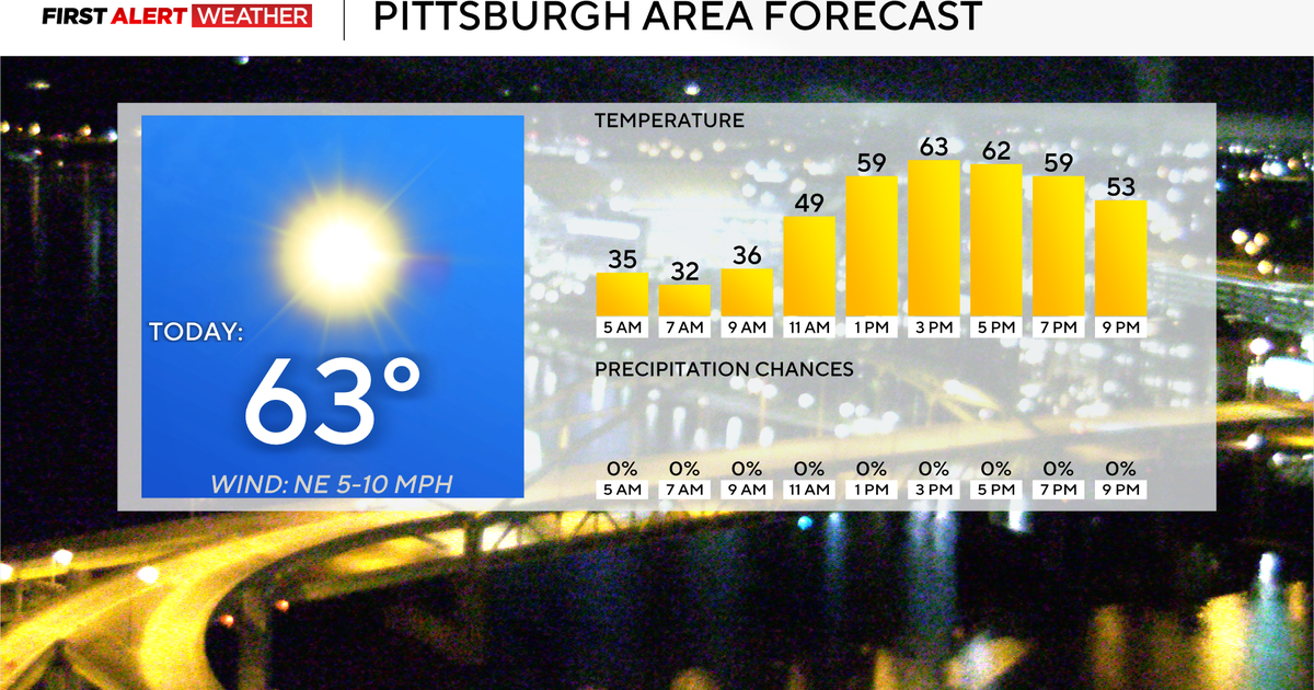 It's going to be a dry week without rain throughout the Pittsburgh area
October 19, 2026 / 7:13 AM EDT / CBS Pittsburgh It's going to be a dry week without rain in the Pittsburgh area. Any alert days ahead? Nope. There are freeze warnings in place for a couple of counties this morning…
-
 Another frosty night in the Pittsburgh area
WPXI PITTSBURGH — It will be another frosty night across the entire area, with temperatures dropping back down into the 30s tonight. A Frost Advisory is in effect for much of the area from Allegheny County south and…
-
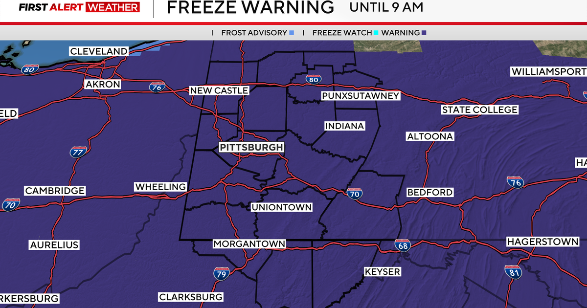 Sunday begins with colder temperatures in Pittsburgh, but sunshine and seasonable weather follows
October 18, 2026 / 7:32 AM EDT / CBS Pittsburgh We are in First Alert Weather mode until 9 a.m. with a Freeze Warning for everyone. Some areas dipped into the upper 20s! Average first fall frost for Pittsburgh is…
-
 Beautiful fall weather continues on Tuesday, with a cool start to the day
WPXI Beautiful fall weather continues on Tuesday, with a cool start to the day PITTSBURGH â Picture-perfect fall weather continues with crisp, cool nights and warmer, sun-filled days. Temperatures will swing more than…
-
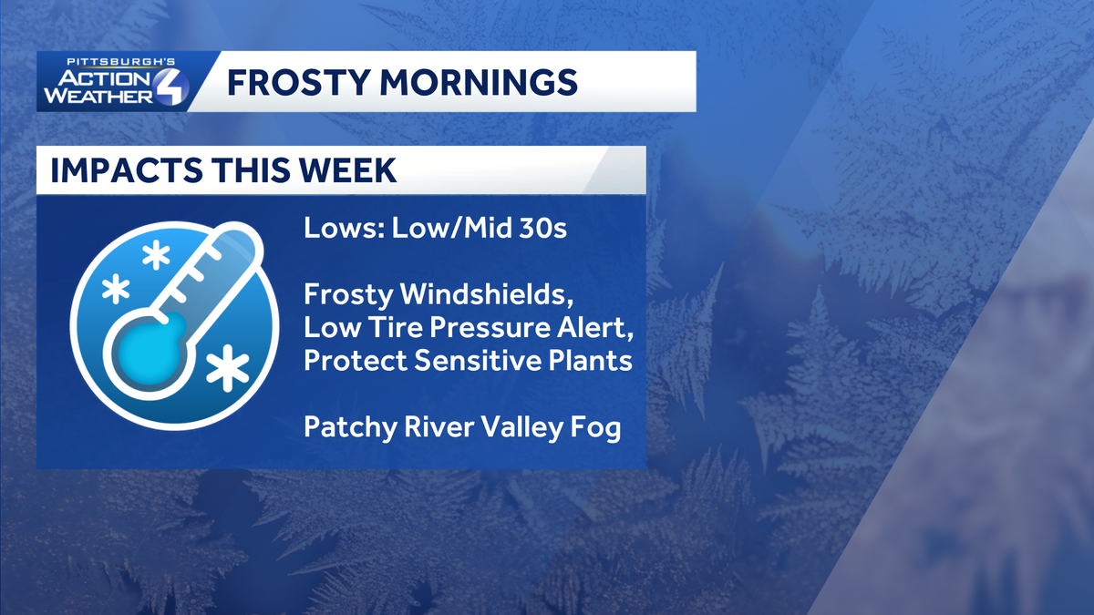 Pittsburgh: A stunning stretch of fall weather
It's only sunshine and seasonal temperatures this week. The Freeze Warning is set to expire at 9 a.m. Frosty mornings and mild afternoons with sunshine are in our future. It is shaping up to be a glorious fall week. A…
-
 Coldest morning since spring gives way to warmer, dry week
Once the sun rises, weâll warm up in a hurry with highs pushing into the low 60s. Coldest morning since spring gives way to warmer, dry week PITTSBURGH â Itâs the coldest morning since spring with temperatures…
-
 Freeze Watch Upgraded to Warning for Almost All of Pennsylvania as Conditions Worsen
Freeze Warnings are now in effect for most of Pennsylvania from 1 a.m. to 9 a.m. EDT Sunday, with lows between 25 and 30 degrees expected in central Pennsylvania. The earlier Freeze Watches have been upgraded to…
-
 New winter forecast reveals complete shift in snow predictions for 2027
By CHRIS MELORE, US DEPUTY SCIENCE EDITOR A new forecast model predicts that the impact of a historic El Niño will completely flip America's winter, bringing snow to some areas that saw next to none last year…
-
 Clear & cold conditions, plus Freeze Warning tonight (10/17/26)
WPXI Etna Community Organization celebrates the completion, opening of the Etna Center for Community Hazelwood workshop marks launch of new welding pre-apprenticeship program with labor secretary visit Channel 11âs…
- Pittsburgh Freeze Warning And Sunny Week Ahead
Pittsburgh is starting Saturday with chilly temperatures, gusty north winds and a few scattered rain showers before 9 a.m. The clouds should break for a mostly sunny afternoon, but the high will reach only about 53…
Air quality
Acceptable. Unusually sensitive people should consider limiting prolonged outdoor exertion.
Forecast
- SunModerate (60)
- MonModerate (51)
- TueModerate
Pittsburgh, PA reporting area · 1 hr ago. Data from AirNow (EPA and its state, local and tribal partners); preliminary and subject to change.
Sun & moon
Almanac
MonthlyPittsburgh Area, records since 1875. Normals 1991–2020. Data from NOAA's Regional Climate Centers (ACIS).
Nearby
- Pittsburgh 10 km
- Mount Lebanon 14 km
- Bethel Park 18 km
- Monroeville 27 km
- Cranberry Township 23 km
- Plum 30 km
- Allison Park 15 km
- Murrysville 35 km
- West Mifflin 24 km
- Baldwin 19 km
- McKeesport 25 km
- Weirton Heights 38 km
Forecasters' discussion
From the National Weather Service office in PBZ, issued 2 hrs ago
What Has Changed
No changes to the forecast package or messaging.
Key Messages
1) High confidence in continued dry weather and above-noraml temperatures through the work week. Rain chances may finally return next weekend.
Discussion
KEY MESSAGE 1... New day, same message. High pressure remains in control, with dry weather highly likely through Saturday. The passage of a 500mb ridge axis will provide a small boost to already above- normal temperatures on Monday.
A dry frontal passage Monday night will provide some clouds and a minor temperature bump downward, but not enough moisture for precipitation chances. That boundary then returns north as a warm front through midweek, which will eventually push temperatures some 10 to 15 degrees above normal by Thursday. A shortwave crossing the Great Lakes Thursday night/Friday appears to still remain too far north for precipitation chances; a cloud increase is expected north of Pittsburgh.
There is still a decent model signal for an Ohio Valley shortwave next weekend that may finally break the dry spell on Sunday. The various ensemble members still show strength and timing differences, so rainfall could get pushed later once again, but a wetter post-Halloween pattern is certainly possible.
Aviation
VFR through the TAF period save for low probability river valley fog resulting in MVFR to LIFR visibility Monday morning (11z-13z). Wind remains light (with some speed increase Monday afternoon out of the W/SW) with passing cirrus later this evening into tomorrow.
Outlook... High pressure ensures VFR and dry weather through at least Thursday with rising temperature and increasing cirrus reducing morning river valley fog risk.
Forecasts, observations and alerts in the United States come from the National Weather Service (NOAA); radar from NOAA's Multi-Radar Multi-Sensor system; satellite imagery from NASA's Global Imagery Browse Services (GIBS) and NOAA's GOES satellites; the map from the U.S. Geological Survey's National Map; air quality from AirNow (EPA and its partners); hurricane information from the National Hurricane Center; climate normals and records from NOAA's Regional Climate Centers (ACIS). Forecasts outside the United States and the UV index: MET Norway (CC BY 4.0); observations outside the U.S.: airport reports via NOAA's Aviation Weather Center. Place names: GeoNames (CC BY 4.0). Data are copied on a schedule and may lag the sources; for warnings that affect your safety, follow your local National Weather Service office and emergency officials. Weather news is drawn from the 4Conservative index and reflects what the press published. Terms of use. How to use Weather