Install
Johnsonburg, PA Weather
Current conditions
Observed at Du Bois - Jefferson County Airport · 48 min ago
Forecast
10-day-
Saturday Night
Areas of frost after 3am. Clear, with a low around 33. Southeast wind around 6 mph.
-
Sunday
Areas of frost before 9am. Sunny, with a high near 62.
-
Sunday Night
Mostly clear, with a low around 36.
National Weather Service forecast updated 2 days ago.
Hourly
Hourly forecast- Now36°
- 6 AM34°
- 7 AM33°
- 8 AM34°
- 9 AM39°
- 10 AM46°
- 11 AM52°
- 12 PM56°
- 1 PM59°
- 2 PM60°
- 3 PM62°
- 4 PM62°
- 5 PM60°
- 6 PM57°
- 7 PM53°
- 8 PM48°
- 9 PM46°
- 10 PM44°
- 11 PM43°
- Mon12 AM42°
- 1 AM41°
- 2 AM41°
- 3 AM40°
- 4 AM39°
10-day forecast
Details- TonightOct 22Partly Cloudy39°
- FriOct 23Sunny34°58°
- SatOct 24Areas Of Frost then Sunny33°59°
- TodayOct 25Areas Of Frost then Sunny36°62°
- MonOct 26Sunny41°64°
- TueOct 27Mostly Sunny39°60°
- WedOct 28Partly Sunny42°60°
- ThuOct 29Mostly Sunny64°
- FriOct 30Cloudy40°63°
- SatOct 31Partly cloudy36°61°
Days after the National Weather Service's seven are MET Norway's outlook, a computer model with no forecaster's review.
Radar
Full mapWeather news in Pennsylvania
More weather news-
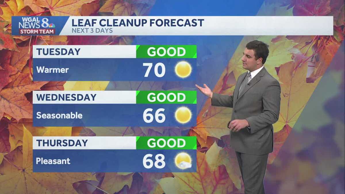 Seasonable sunshine and temperatures continue throughout the week in south central Pennsylvania
At or above average temperatures and 10 days of dry weather ahead. Tuesday looks to be the warmest day of the workweek. Expect bright blue skies and highs climbing to around 70 degrees. From Wednesday through Friday…
-
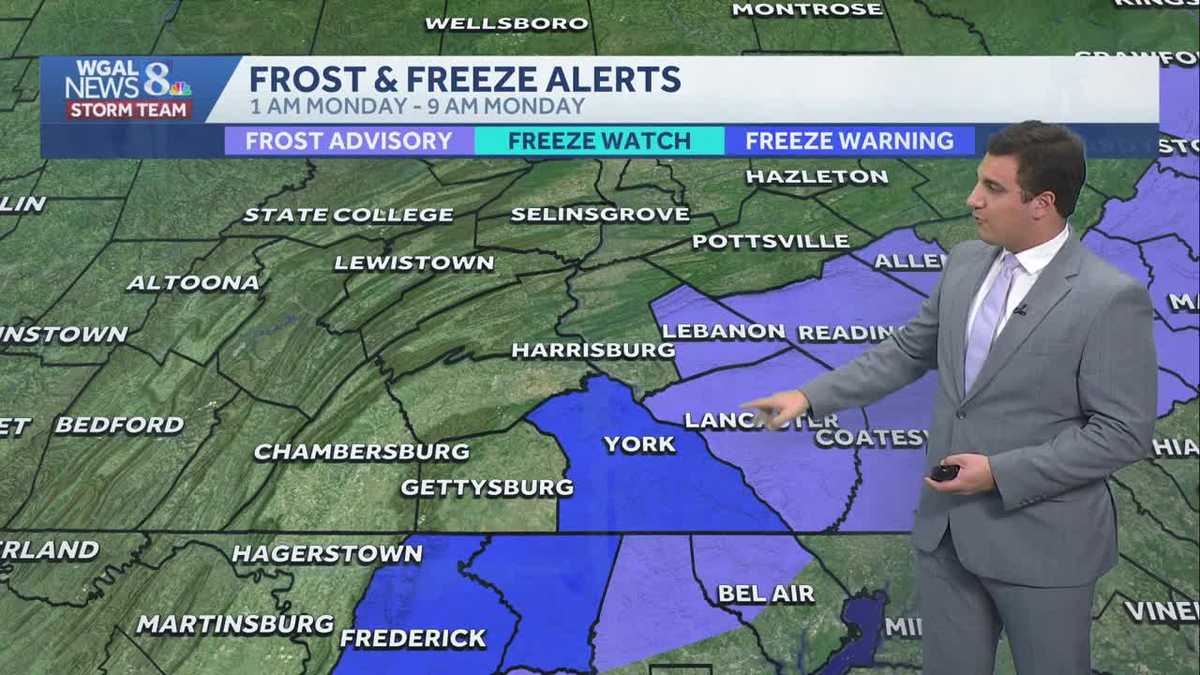 Impact: Frost & freeze alerts issued for some on Sunday night; sunny stretch next week in south central Pennsylvania
Another chilly and frosty night across south central Pennsylvania with lows dropping into the 30s. The National Weather Service has issued freeze warnings and frost advisories for parts of the Susquehanna Valley where…
-
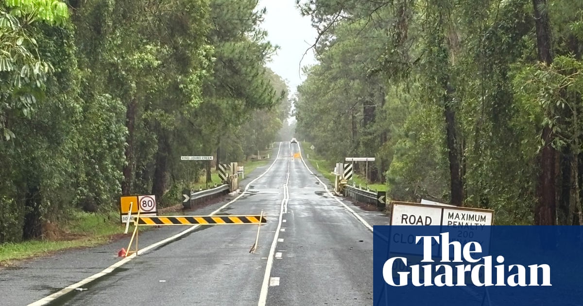 ‘Unusually large’ multi-state storm causing severe weather for Australia’s east – with more on the way
BoM predicts hail, damaging winds, flash flooding and power outages across southern Queensland, western NSW, the ACT and eastern Victoria on Sunday afternoon Large parts of eastern Australia were put on alert for severe…
-
 First Alert Weather: Freezing temps overnight for some parts of New York - 10/24/26
CBS News - The 5:33 | Legacy of the LIRR Massacre - On The Dot with David Schechter: Wildfires & Climate Change First Alert Weather: Freezing temps overnight for some parts of New York - 10/24/26 Trump, Obama make…
-
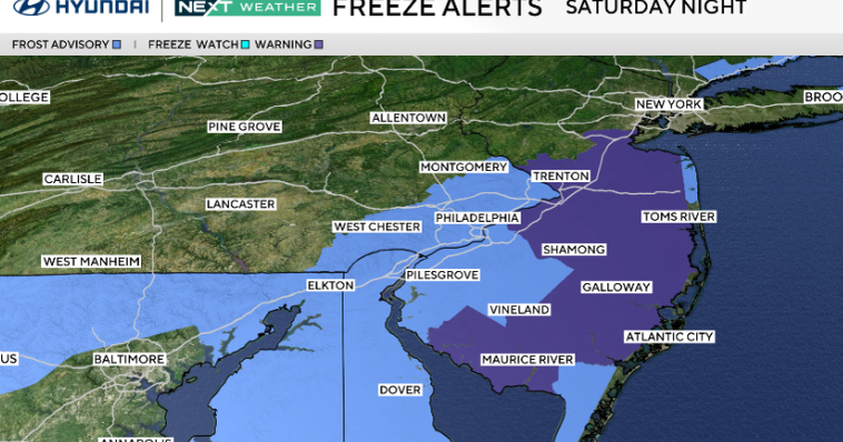 Frosty start to Sunday in Philadelphia region; fabulous fall weather for Eagles-Cowboys Monday
October 24, 2026 / 11:38 PM EDT / CBS Philadelphia Sunday will be a beautiful fall day in the Philadelphia region with plenty of sunshine, light winds and temperatures beginning to moderate after another frosty start…
-
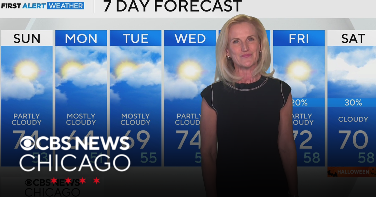 Scattered clouds for Saturday night in Chicago
CBS News Bay Area Evening Edition Weekend 5pm CBS News Philadelphia 7:30pm KDKA News at 7 CBS13 News Weekend 5pm CBS News Texas Saturday 5pm
-
 First Alert Weather: Sun and clouds Saturday in New York - 10/24/26
CBS News - The 5:33 | Legacy of the LIRR Massacre - On The Dot with David Schechter: Wildfires & Climate Change First Alert Weather: Sun and clouds Saturday in New York - 10/24/26 First Alert Weather: Near normal temps…
-
 Storm Boelo: Travel disrupted and events cancelled as UK hit by wind and rain
Fresh deluge of wet weather comes after Storm Austen brought strong winds to many regions on Friday Amber weather warnings have come into force as the worst of Storm Boelo could be set to hit parts of the UK. Storm…
-
 Gorgeous fall weather in NC, Oct. 24 update
A dry weekend with slightly below normal morning lows and highs is on tap for the rest of the weekend. The Piedmont Triad becomes less gusty late Sunday as wind speeds begin to relax. Highs area milder to start the week…
-
 Beautiful weather for Panthers as dry conditions continue into next week
(PINPOINT WEATHER) -- Good evening and happy Saturday! It was yet another beautiful day across the Carolinas with more of the same ahead for Sunday. Next week looks to bring more sunny and beautiful weather for the…
Air quality
Air quality is satisfactory, and air pollution poses little or no risk.
Forecast
- SunGood (45)
- MonGood (40)
- TueGood
Indiana County, PA reporting area · 1 hr ago. Data from AirNow (EPA and its state, local and tribal partners); preliminary and subject to change.
Sun & moon
Almanac
MonthlyPutneyville 2 Se Dam, records since 1943. Normals 1991–2020. Data from NOAA's Regional Climate Centers (ACIS).
Nearby
- Altoona 58 km
- Indiana 37 km
- Shiloh 52 km
- DuBois 28 km
- Clarion 56 km
- Clearfield 40 km
- Punxsutawney 10 km
- Tyrone 59 km
- Kittanning 55 km
- Brookville 35 km
- Treasure Lake 35 km
- Northern Cambria 27 km
Forecasters' discussion
From the National Weather Service office in PBZ, issued 9 hrs ago
What Has Changed
No changes to the forecast package or messaging.
Key Messages
1) Above normal temperature with dry weather highly likely until at least late next week.
Discussion
KEY MESSAGE 1... Keen readers may note the lack of notably different discussions recently and this latest discussion offers little to change that trend. The combination of surface high pressure and ridging aloft over a multi-day period (with very high confidence) means the weather story is a bit monotonous. So continue to enjoy above normal temperature (with large diurnal swings), light winds, abundant sunshine and dry weather.
More variance in the upper level pattern from ensemble models starting around Thursday through the following Monday (November 2nd) suggests some topics of discussion but with little confidence at this point. This includes weak shortwave movement north of the region Thursday into Friday morning (offering 30% or less probabilities for measurable rain mainly in NW PA); unlikely waves Friday into Saturday (offering less than 20% measurable rain probabilities); and the potential strong trough passage Sunday into Monday (higher likelihood of rain but timing of its arrival has slowly be inching later). Clarity will arrive eventually but for now, nothing merits further discussion.
Aviation
High confidence VFR continues through much of next week. Light E/SE winds are expected through Sunday. River valley fog may impact isolated sites with IFR to LIFR visibility between 11Z and 13Z Sunday morning before diurnal mixing after sunrise.
Outlook... Outside of any morning river valley fog, VFR is highly likely through Thursday under high pressure.
Forecasts, observations and alerts in the United States come from the National Weather Service (NOAA); radar from NOAA's Multi-Radar Multi-Sensor system; satellite imagery from NASA's Global Imagery Browse Services (GIBS) and NOAA's GOES satellites; the map from the U.S. Geological Survey's National Map; air quality from AirNow (EPA and its partners); hurricane information from the National Hurricane Center; climate normals and records from NOAA's Regional Climate Centers (ACIS). Forecasts outside the United States and the UV index: MET Norway (CC BY 4.0); observations outside the U.S.: airport reports via NOAA's Aviation Weather Center. Place names: GeoNames (CC BY 4.0). Data are copied on a schedule and may lag the sources; for warnings that affect your safety, follow your local National Weather Service office and emergency officials. Weather news is drawn from the 4Conservative index and reflects what the press published. Terms of use.