Install
Sheridan, OR Weather
Current conditions
Forecast for this hour (no station report in the last two hours)
Forecast
10-day-
Saturday
Areas of fog and patchy frost before 7am, then areas of frost and areas of fog between 7am and 8am, then areas of fog and patchy frost between 8am and 10am. Partly sunny, with a high near 61. North wind around 1 mph.
-
Saturday Night
Rain likely after 11pm. Mostly cloudy, with a low around 37. Wind around 0 mph. Chance of precipitation is 60%.
-
Sunday
Rain likely before 7am, then rain likely and areas of fog. Mostly cloudy, with a high near 60. Chance of precipitation is 70%.
National Weather Service forecast updated 1 day ago.
Hourly
Hourly forecast- Now54°
- 1 PM57°
- 2 PM59°
- 3 PM60°
- 4 PM61°
- 5 PM59°
- 6 PM57°
- 7 PM54°
- 8 PM50°
- 9 PM48°
- 10 PM47°
- 11 PM45°23%
- Sun12 AM44°23%
- 1 AM43°23%
- 2 AM42°23%
- 3 AM41°23%
- 4 AM41°23%
- 5 AM40°60%
- 6 AM40°60%
- 7 AM39°60%
- 8 AM39°60%
- 9 AM43°60%
- 10 AM46°60%
- 11 AM50°67%
10-day forecast
Details- TonightOct 22Mostly Clear37°
- FriOct 23Patchy Frost then Sunny34°61°
- TodayOct 24Areas Of Fog then Partly Sunny60%37°61°
- SunOct 25Light Rain Likely72%41°60°
- MonOct 26Light Rain Likely66%39°59°
- TueOct 27Slight Chance Light Rain24%37°59°
- WedOct 28Chance Light Rain29%37°60°
- ThuOct 29Slight Chance Light Rain24%60°
- FriOct 30Mostly sunny42°60°
- SatOct 31Cloudy41°60°
Days after the National Weather Service's seven are MET Norway's outlook, a computer model with no forecaster's review.
Radar
Full mapWeather news near Sheridan
More weather news-
 Rapid City near 80 Thursday before a sharp weekend cooldown
RAPID CITY, S.D. (KOTA) -Temperatures near 80 degrees will bring another round of unusually warm weather to parts of western South Dakota and northeastern Wyoming before a cold front delivers a sharp cooldown this…
-
 Rapid City nears 80 Thursday before a sharp weekend cooldown
RAPID CITY, S.D. (KOTA) -Temperatures will climb toward 80 degrees in parts of western South Dakota and northeastern Wyoming before a cold front brings gusty winds, a chance of showers and a sharp cooldown this weekend…
-
 Don Day's Wyoming Weather Forecast: Wednesday, October 21, 2026
Mostly sunny to sunny in Wyoming on Wednesday. Mix of clear and cloudy skies overnight. Highs in the 60s and 70s. Lows mainly in the 30s and 40s. Casper: Gradually becoming sunny today with a high near 73 and wind gusts…
- Western South Dakota warms toward 80 before weekend cooldown
RAPID CITY, S.D. (KOTA) -Warm weather will continue across much of KOTA Territory this week, with some communities approaching or reaching 80 degrees before a stronger cold front brings a cooler, windier weekend…
-
 Monday Forecast: Mild temperatures continue with breezy winds for some today
WESTERN S.D. AND NORTHEASTERN WYO. — We are seeing some freezing temperatures this morning. Overall, though, we have temperatures ranging from the mid-30s to mid-40s right now. Winds are mostly light and variable, but…
-
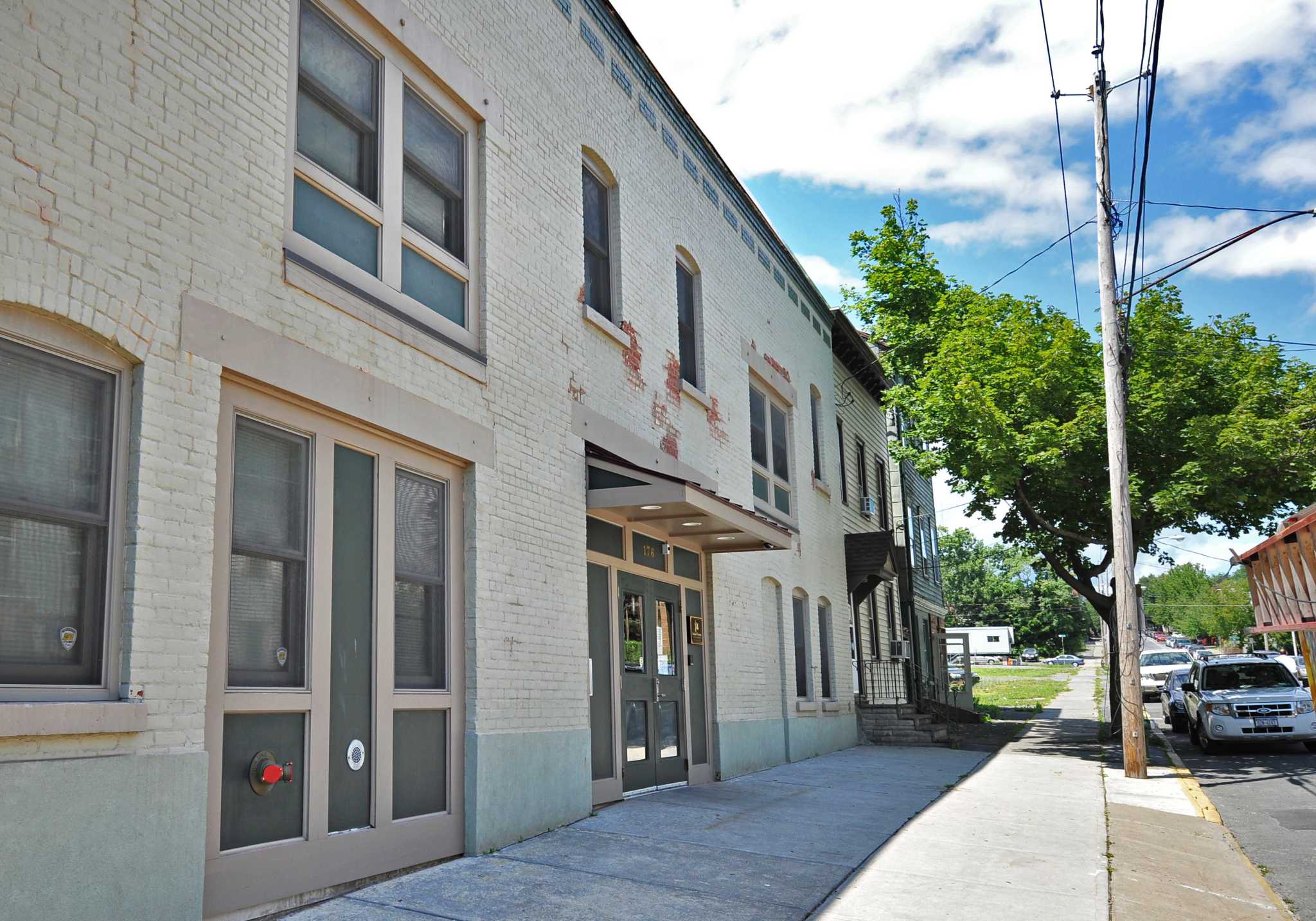 As nighttime temperatures chill, a seasonal shelter opens its doors early
Interfaith Partnership for the Homeless drop-in center on Sheridan Ave. in Albany, NY. IPH announced its seasonal Safe Haven shelter would open almost a month early due to freezing nighttime temperatures. ALBANY — At…
- Dry start, warmer days ahead before rain chances return to KOTA Territory
RAPID CITY, S.D. (KOTA) -A dry, mostly sunny start to the week will give way to warmer afternoons across KOTA Territory before a late-week weather system brings stronger winds, a chance of rain and cooler temperatures…
-
 Rapid City forecast: Breezy warmth, fire concerns before rain chances
RAPID CITY, S.D. (KOTA) -A cold front will bring a cooler, breezy Sunday to KOTA Territory, but temperatures will remain above average as a mostly dry stretch raises fire concerns ahead of possible late-week rain. Rapid…
-
 Don Day's Wyoming Weather Forecast: Sunday, October 18, 2026
Sunny in Wyoming on Sunday and partly cloudy to mostly clear overnight. Highs from the upper 50s to low 70s. Lows from the mid 20s to low 40s. Riverton: Sunny today with a high near 61 and mostly clear overnight with a…
-
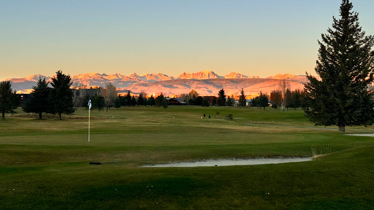 Don Day's Wyoming Weather Forecast: Saturday, October 17, 2026
Sunny in Wyoming on Saturday and mostly clear overnight. Highs from near 60 to the upper 70s. Lows from the mid 20s to mid 40s. Jeffrey City: Sunny and windy today with a high near 65 and wind gusts as high as 40 mph…
Air quality
Acceptable. Unusually sensitive people should consider limiting prolonged outdoor exertion.
Dallas, OR reporting area · 1 hr ago. Data from AirNow (EPA and its state, local and tribal partners); preliminary and subject to change.
Sun & moon
Almanac
MonthlyMcMinnville Area, records since 1894. Normals 1991–2020. Data from NOAA's Regional Climate Centers (ACIS).
Nearby
- Salem 33 km
- Hillsboro 57 km
- Albany 56 km
- Keizer 31 km
- McMinnville 20 km
- Tualatin 59 km
- Woodburn 43 km
- Forest Grove 52 km
- Newberg 40 km
- Wilsonville 54 km
- Hayesville 35 km
- Sherwood 52 km
Forecasters' discussion
From the National Weather Service office in PQR, issued 8 hrs ago
Synopsis
Dry weather is expected through Saturday with overnight and early morning frost/freeze conditions across much of the region. Rain chances increase early Sunday morning as a broad upper level low moves over the region. An semi-active pattern continues through the middle of next week, with a brief period of dry conditions expected Tuesday with another round of light precipitation expected Wednesday. Beyond Wednesday, uncertainty increases as models ensembles diverge significantly from each other.
Discussion
Today through Friday...Transient upper-level ridging continues through this evening bringing clearing skies and light, offshore flow to the region. However, by tonight a broad upper level trough from the Gulf of Alaska will bring precipitation back into the forecast through at least early Monday morning. Current, high resolution ensemble guidance has rain beginning at the coast early Sunday morning and reaching inland locations through the afternoon, with the bulk of the precipitation expected to cease by Monday morning across the region. At this point, the chances for 0.25 inches of rain or more from 5 AM Sunday through 5 AM Tuesday are 80-90% along the coast and Coast Range, 70-80% along the I-5 corridor, and 60-70% in the Cascades and foothills. Even with the influx of precipitation into the region, seasonable conditions with milder overnight temperatures are expected to persist through at least the middle of next week. As the middle of next week approaches, forecast confidence decreases as the early week low pushes eastward, although long-range guidance does continue to support additional chances for rain, with 30-40% of ensemble members bringing another weather system to the Northeast Pacific Wednesday/Thursday, this system is not expected to be as impactful as the Sunday/Monday one. Overall, seasonable temperatures are favored to continue into the final week of October. As for those wondering what is expected for the final Saturday in October, ensemble guidance is pointing towards a drier solution with overnight lows above freezing. /42-36
Aviation
Through 12Z Sunday...Current ground observations as of 11Z Saturday show generally VFR conditions across the airspace. However, satellite observations are showing IFR conditions pushing up the Columbia River. These IFR conditions are expected to impact KPDX within the next few hours and are expected to persist through around 15Z-18Z Saturday. Along the coast, IFR/LIFR conditions are being observed north of KTMK and are also expected to persist through around 15Z-18Z Saturday. There remains a 5-10% probability of MVFR/IFR conditions to develop within the Willamette Valley through 15Z Saturday. Any lowered flight conditions should improve to VFR after 18Z Saturday and are expected to persist through the remainder of the TAF period. Also, expect winds to remain light and variable at all terminals through the TAF period.
Around 06Z Sunday, an incoming system will start to bring light precipitation and a mixture of high-end VFR/low-end MVFR to KAST. These conditions are expected to slowly spread south and east through what remains of the 12Z TAF period, with most terminals likely being impacted after 12Z Sunday.
KPDX AND APPROACHES...The current VFR conditions are expected to degrade to IFR within the next hour or two. These conditions are expected to persist through around 15Z-18Z Saturday with improvement towards VFR afterwards, through the remainder of the TAF period. /42
Marine
A slow-moving low will approach the outer waters late tonight into Sunday, bringing a transition to southerly winds. This system will also result in building seas towards 8 to 10 ft with southerly wind gusts approaching 25 kt. These conditions are expected to start in zone PZZ271 before spreading south and eastward through tonight. As a result, have issued a series of Small Craft Advisories across all waters through at least late Sunday night. By the start of next week, conditions look to subside below Small Craft Advisory thresholds. However, another system is expected to impact the waters by mid- week and result in around a 20%-30% chance for Small Craft conditions to return. /42
Forecasts, observations and alerts in the United States come from the National Weather Service (NOAA); radar from NOAA's Multi-Radar Multi-Sensor system; satellite imagery from NASA's Global Imagery Browse Services (GIBS) and NOAA's GOES satellites; the map from the U.S. Geological Survey's National Map; air quality from AirNow (EPA and its partners); hurricane information from the National Hurricane Center; climate normals and records from NOAA's Regional Climate Centers (ACIS). Forecasts outside the United States and the UV index: MET Norway (CC BY 4.0); observations outside the U.S.: airport reports via NOAA's Aviation Weather Center. Place names: GeoNames (CC BY 4.0). Data are copied on a schedule and may lag the sources; for warnings that affect your safety, follow your local National Weather Service office and emergency officials. Weather news is drawn from the 4Conservative index and reflects what the press published. Terms of use.