Install
Withamsville, OH Weather
Current conditions
Forecast for this hour (no station report in the last two hours)
Forecast
10-day-
Sunday
Sunny, with a high near 71. Southeast wind around 2 mph.
-
Sunday Night
Mostly clear, with a low around 43.
-
Monday
Sunny, with a high near 72.
National Weather Service forecast updated 2 days ago.
Hourly
Hourly forecast- Now69°
- 4 PM69°
- 5 PM70°
- 6 PM68°
- 7 PM64°
- 8 PM61°
- 9 PM58°
- 10 PM55°
- 11 PM53°
- Mon12 AM51°
- 1 AM50°
- 2 AM49°
- 3 AM48°
- 4 AM47°
- 5 AM46°
- 6 AM44°
- 7 AM43°
- 8 AM44°
- 9 AM49°
- 10 AM54°
- 11 AM60°
- 12 PM64°
- 1 PM67°
- 2 PM69°
10-day forecast
Details- FriOct 23Sunny43°69°
- SatOct 24Sunny44°70°
- TodayOct 25Sunny43°71°
- MonOct 26Sunny48°72°
- TueOct 27Partly Sunny48°70°
- WedOct 28Partly Sunny48°71°
- ThuOct 29Mostly Sunny47°73°
- FriOct 30Mostly sunny44°62°
- SatOct 31Sunny38°58°
- SunNov 1Partly cloudy45°71°
Days after the National Weather Service's seven are MET Norway's outlook, a computer model with no forecaster's review.
Radar
Full mapWeather news near Withamsville
More weather news-
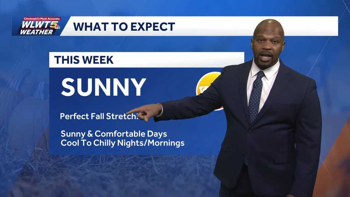 Fantastic Fall Weather All Week Cincinnati
WLWT Fantastic Fall Weather All Week Cincinnati Sunny comfortable days and cool to chilly nights. Supreme Court to hear case on race in middle school admissions Shark breach caught on video near California coast as…
-
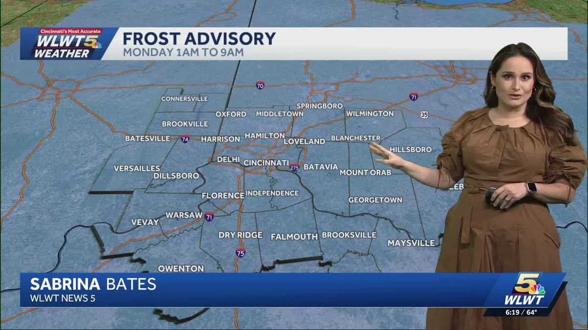 Fall weather sticking around Cincinnati
WLWT Fall weather sticking around Cincinnati Meteorologist Sabrina Bates says that the fall weather is sticking around Greater Cincinnati this week. Lifestyle influencer shares new details on 4-year-old son's death…
-
 A Big String of Mild and Dry Days
FOX19 | Cincinnati CINCINNATI (WXIX) - A big area of high pressure is parked right on top of the Tri-State, bringing us a long string of sunny and dry days. Mornings will be chilly but not very frosty, with temps in the…
-
 Chilly morning, mild afternoons continue
Rain chances are still a week away CINCINNATI (WXIX) - A big area of high pressure is parked right on top of the Tri-State, bringing us a long string of sunny and dry days. Mornings will be chilly but not very frosty…
- Sunshine takes over the Tri-State with a long stretch of dry weather
CINCINNATI (WXIX) - The Tri-State is settling into an extended stretch of beautiful October weather, with comfortable afternoons, chilly nights and plenty of sunshine. Rain chances are nearly ... CINCINNATI (WXIX) - The…
- Comfortable and dry with a steady warm-up this week
No rain is forecast for at least the next 10 days CINCINNATI (WXIX) - It is chilly this morning in the 30s and 40s. Sunny skies warm us up to the upper 60s this afternoon. Chilly mornings are followed by comfortable…
- From Freeze to Ease: Cincinnati Shakes Off Frost, Basks in Sunny 60s All Week
Fog and a sharp early chill greeted Cincinnati on Sunday morning, with a Freeze Warning in effect until 9 a.m. The payoff comes later: sunshine should take over, sending temperatures toward a comfortable high near 64…
-
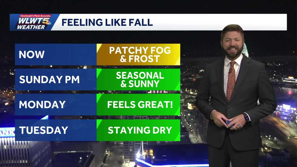 Sunshine and Fall air staying for Cincinnati
WLWT Sunshine and Fall air staying for Cincinnati Fall air and dry conditions stay around throughout the work/school week Fisherman, 71, dies after being attacked by 12-foot alligator Oregon community mourns 4 killed in…
-
 Fairly mild and typical fall weather this week.
Few clouds and warming...better chances of rain late week and into next weekend. LUBBOCK, Texas (KCBD) - Today’s warming trend should continue through the week with scattered clouds. The temperatures will climb closer…
- Cincinnati Freeze Warning And Weekend Forecast
Cincinnati is starting Saturday with brilliant sunshine. Mostly sunny conditions will push the afternoon high to about 56, but the real weather shift arrives after sunset. Temperatures will tumble Saturday night, with a…
Air quality
Acceptable. Unusually sensitive people should consider limiting prolonged outdoor exertion.
Forecast
- SunModerate (65)
- MonModerate (65)
Cincinnati, OH reporting area · 1 hr ago. Data from AirNow (EPA and its state, local and tribal partners); preliminary and subject to change.
Sun & moon
Almanac
MonthlyCincinnati Area, records since 1872. Normals 1991–2020. Data from NOAA's Regional Climate Centers (ACIS).
Nearby
- Cincinnati 21 km
- Hamilton 44 km
- Middletown 51 km
- Fairfield 39 km
- Covington 19 km
- Mason 33 km
- Florence 30 km
- Independence 26 km
- Lebanon 42 km
- Norwood 18 km
- White Oak 32 km
- Erlanger 27 km
Forecasters' discussion
From the National Weather Service office in ILN, issued 3 hrs ago
What Has Changed
No significant changes.
Key Messages
1) Dry conditions will continue through the week.
Discussion
KEY MESSAGE 1)
Anomalously strong mid level ridge extending from the lower Mississippi Valley into the Great Lakes will continue to offer dry weather and above normal temperatures. This ridge will gradually lose amplitude with the westerlies settling south into the Ohio Valley thru mid week. The flow will briefly become zonal at mid week with low amplitude ridging returning late in the week.
A weak surface front will sag south into the area Monday into Monday night and then wash out by Tuesday night into Wednesday. In the dry air mass only expect some increase in clouds from this front. Otherwise, high pressure will predominate, so an extended dry period will persist.
Temperatures will remain above normal, with highs in the lower and middle 70s thru mid week warming into the mid and upper 70s by the end of the week. Lows in the 40s to warm to the 50s by the end of the week.
Aviation
Surface high situated east of the area will remain overnight with a weak front dropping into the area Monday night. This will offer mainly clear skies and light winds which will lead to river valley fog overnight. Fog will redevelop with IFR visibilities forecast at KLUK and MVFR restrictions at KILN. Otherwise, some thin high clouds expected across the area.
Winds will remain easterly at less than 10 kt.
OUTLOOK...No significant weather expected.
Forecasts, observations and alerts in the United States come from the National Weather Service (NOAA); radar from NOAA's Multi-Radar Multi-Sensor system; satellite imagery from NASA's Global Imagery Browse Services (GIBS) and NOAA's GOES satellites; the map from the U.S. Geological Survey's National Map; air quality from AirNow (EPA and its partners); hurricane information from the National Hurricane Center; climate normals and records from NOAA's Regional Climate Centers (ACIS). Forecasts outside the United States and the UV index: MET Norway (CC BY 4.0); observations outside the U.S.: airport reports via NOAA's Aviation Weather Center. Place names: GeoNames (CC BY 4.0). Data are copied on a schedule and may lag the sources; for warnings that affect your safety, follow your local National Weather Service office and emergency officials. Weather news is drawn from the 4Conservative index and reflects what the press published. Terms of use. How to use Weather