Install
Gahanna, OH Weather
Current conditions
Observed at John Glenn Columbus International Airport · 26 min ago
Forecast
10-day-
Tonight
Mostly clear, with a low around 44. East wind around 5 mph.
-
Sunday
Sunny, with a high near 70. Southeast wind around 5 mph.
-
Sunday Night
Mostly clear, with a low around 44. Southeast wind around 3 mph.
National Weather Service forecast updated 14 hrs ago.
Hourly
Hourly forecast- Now45°
- 5 AM45°
- 6 AM44°
- 7 AM44°
- 8 AM44°
- 9 AM46°
- 10 AM52°
- 11 AM57°
- 12 PM61°
- 1 PM65°
- 2 PM68°
- 3 PM68°
- 4 PM70°
- 5 PM68°
- 6 PM67°
- 7 PM63°
- 8 PM57°
- 9 PM54°
- 10 PM52°
- 11 PM51°
- Mon12 AM50°
- 1 AM48°
- 2 AM48°
- 3 AM47°
10-day forecast
Details- SatOct 24Sunny44°69°
- TodayOct 25Sunny44°70°
- MonOct 26Sunny47°73°
- TueOct 27Mostly Sunny48°71°
- WedOct 28Partly Sunny49°72°
- ThuOct 29Sunny49°76°
- FriOct 30Mostly Sunny52°75°
- SatOct 31Cloudy0.04 in49°72°
- SunNov 1Heavy rain0.53 in56°71°
- MonNov 2Rain0.13 in62°69°
Days after the National Weather Service's seven are MET Norway's outlook, a computer model with no forecaster's review.
Radar
Full mapWeather news near Gahanna
More weather news- Columbus Shivers, Then Smiles: Frosty Wake-Up Starts Sunny, Dry Week
For broader context, NWS Wilmington’s 1991–2020 climatology lists Oct. 27 as Columbus’s normal date for its first 32°F freeze, a different measure from this frost advisory. Frost may linger through the early morning…
-
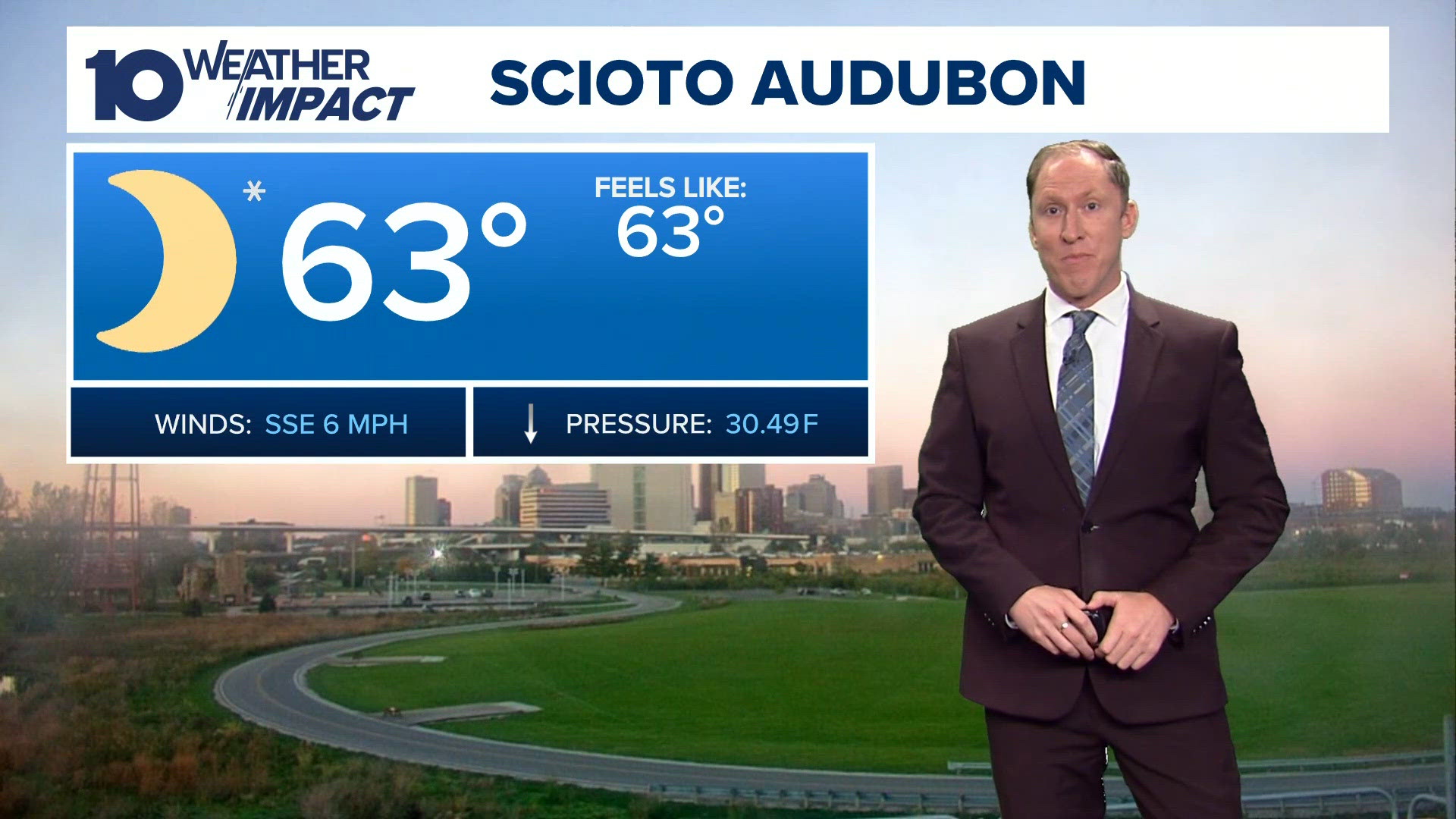 Columbus, OH evening forecast | Sunshine continues all week
10TV Columbus, OH evening forecast | Sunshine continues all week To stream 10TV on your phone, you need the 10TV app. Download the 10TV app Next up in 5 Example video title will go here for this video Before You Leave…
- Columbus Shivers, Then Sizzles: Freeze Warning Kicks Off Sunny 70-Degree Week
The National Weather Service in Wilmington says the freeze warning remains in effect through 9 a.m. Sunday, with temperatures potentially falling as low as 30 degrees across central Ohio. The weather service warns that…
-
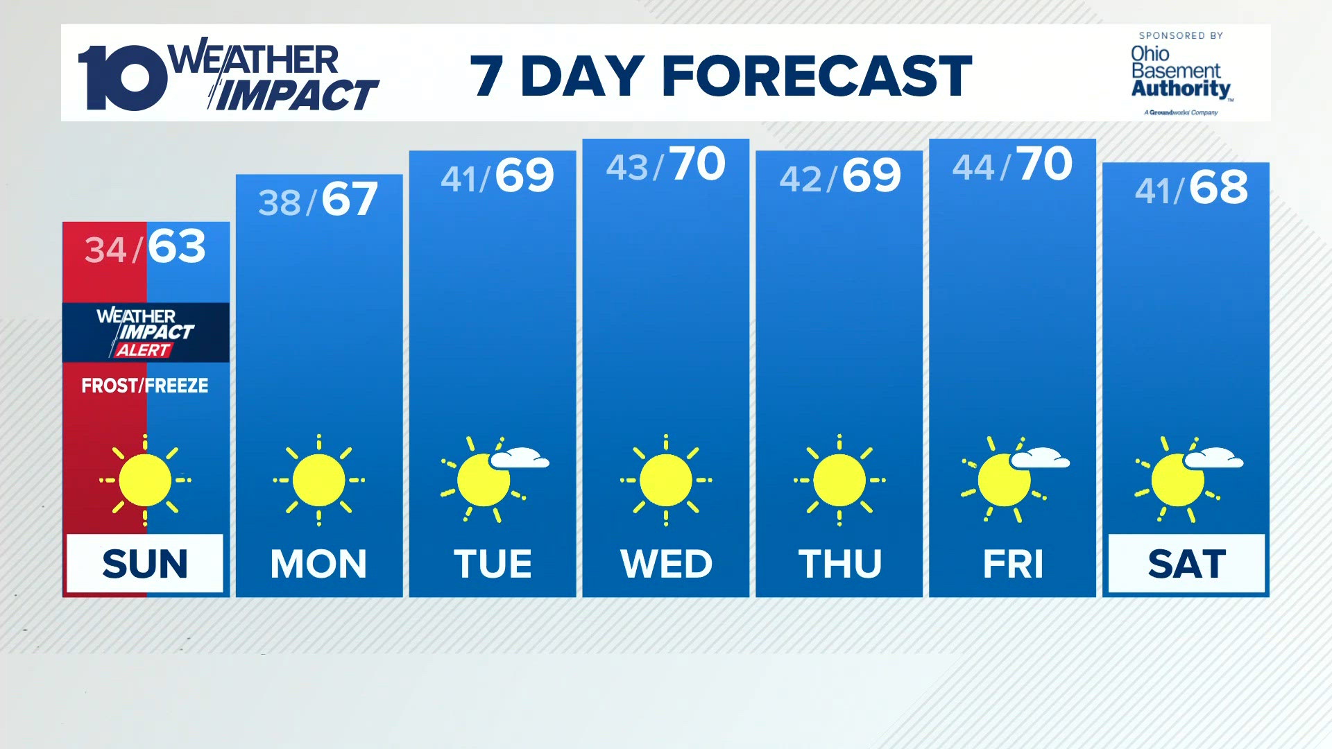 Columbus, OH Weather | Widespread frost or freeze likely by Sunday morning
10TV Columbus, OH Weather | Widespread frost or freeze likely by Sunday morning To stream 10TV on your phone, you need the 10TV app. Download the 10TV app Next up in 5 Example video title will go here for this video…
- Columbus Weather: Chilly weekend with widespread frost, freezing temps Sunday morning
WSYX Happy Saturday, Central Ohio! Clouds will linger this morning before clearing out this afternoon Northeast Ohio may experience some lake-effect rain showers before the high-pressure system takes over the region…
-
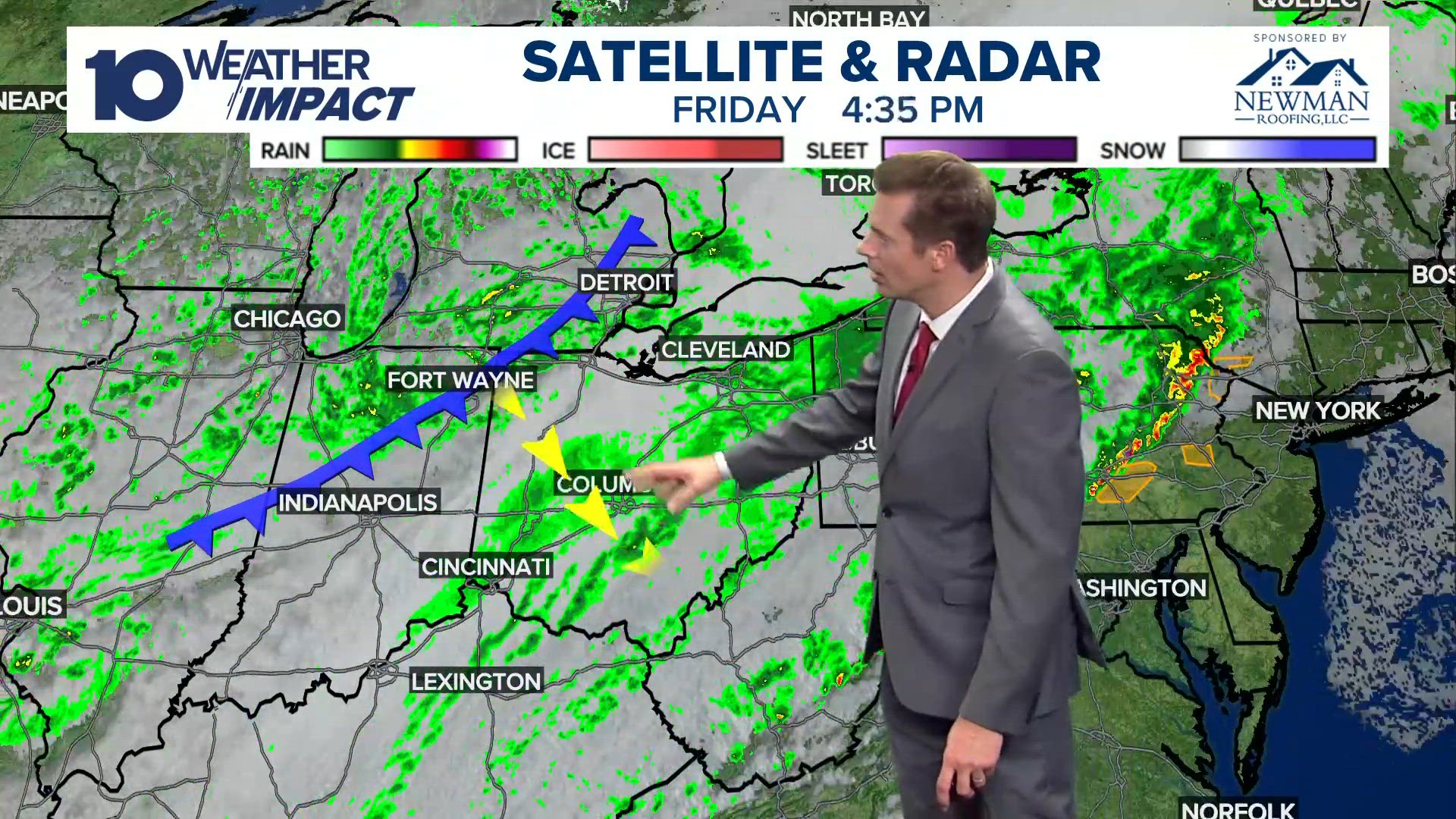 Columbus, Ohio forecast for Oct. 16 | Temperatures cooling with frost on the horizon
10TV Columbus, Ohio forecast for Oct. 16 | Temperatures cooling with frost on the horizon To stream 10TV on your phone, you need the 10TV app. Download the 10TV app Next up in 5 Example video title will go here for this…
-
 Columbus, OH Weather | Brisk and windy on Saturday with sun
NewsBreak: Local News & Alerts Columbus, OH Weather | Brisk and windy on Saturday with sun You may also like
-
 Columbus weather: Damp, much cooler, clearing weekend
COLUMBUS, Ohio (WCMH) –The Columbus weather outlook is cloudy skies and much cooler weather with showers tapering overnight. Here are the details from Storm Team 4. Columbus weather today: Cloudy, breezy, cooler, on and…
-
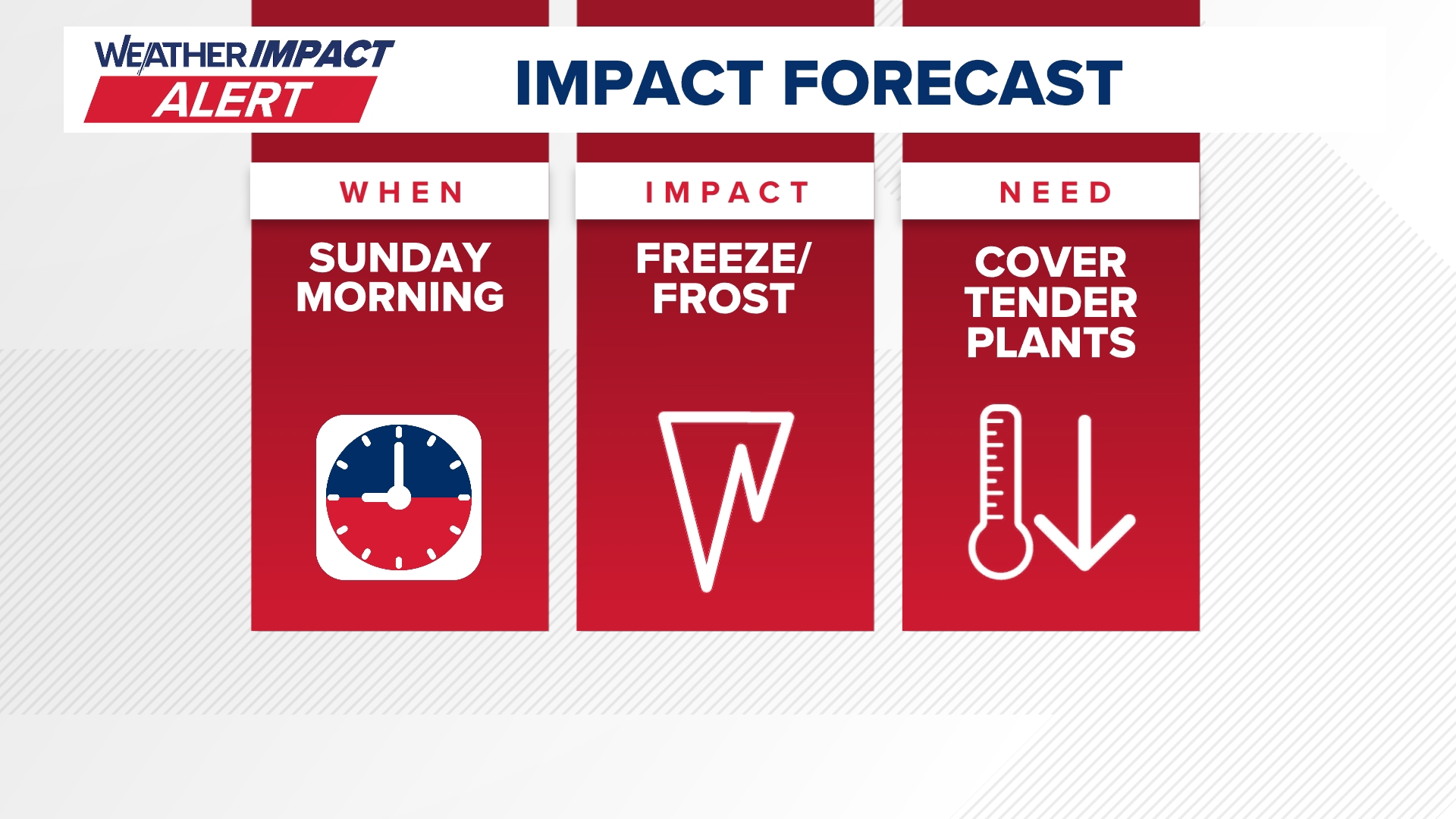 Freeze Watch issued for central Ohio Sunday morning
COLUMBUS, Ohio — Get ready for the first official freeze of the season across central Ohio. A 10TV Weather Impact Alert is being issued for Sunday morning as a Freeze Watch is in effect for all of central Ohio. We're…
- Freeze watch goes into effect Oct. 17 for central Ohio, other counties
The National Weather Service in Wilmington has issued a freeze watch for central Ohio and large swaths of the state that will go into effect this weekend. The freeze watch will go into effect on Saturday night, Oct. 17…
Air quality
Acceptable. Unusually sensitive people should consider limiting prolonged outdoor exertion.
Forecast
- SunModerate (60)
- MonModerate (58)
- TueGood (50)
Columbus, OH reporting area · 1 hr ago. Data from AirNow (EPA and its state, local and tribal partners); preliminary and subject to change.
Sun & moon
Almanac
MonthlyWesterville, records since 1897. Normals 1991–2020. Data from NOAA's Regional Climate Centers (ACIS).
Nearby
- Columbus 12 km
- Newark 41 km
- Dublin 22 km
- Lancaster 42 km
- Grove City 24 km
- Westerville 13 km
- Delaware 35 km
- Reynoldsburg 9 km
- Upper Arlington 16 km
- Hilliard 24 km
- Marysville 48 km
- Pickerington 18 km
Forecasters' discussion
From the National Weather Service office in ILN, issued 9 hrs ago
What Has Changed
No significant changes.
Key Messages
1) Dry conditions will persist though much of next week.
Discussion
KEY MESSAGE 1)
A blocky pattern characterized by a mid level ridge extending from the western Gulf to the western Great Lakes will shift slightly east into the early part of the week. Surface high situated east of the area will remain through the weekend. This will offer mainly clear skies and light winds which will lead to river valley fog overnight.
A weak surface front will sag south across the area Monday evening into the overnight hours. With a dry airmass - only expect some increase in clouds. The front will wash out as another surface high moves from Ontario to the northeast Atlantic coast.
The mid level ridge gets slowly suppressed south, breaking down by mid week as a short wave lifts out of the southern Plains and up the Ohio Valley into the Great Lakes.
This pattern will offer an extended period of dry conditions which will persist well into next week. Temperatures look to be above normal.
Aviation
Calm and mostly clear conditions tonight could lead to some BR/FG formation prior to sunrise mainly at KILN and KLUK (river valley fog). Any visibility restrictions mix out during the morning hours. Light easterly/southeasterly flow persists.
OUTLOOK...No significant weather expected.
Forecasts, observations and alerts in the United States come from the National Weather Service (NOAA); radar from NOAA's Multi-Radar Multi-Sensor system; satellite imagery from NASA's Global Imagery Browse Services (GIBS) and NOAA's GOES satellites; the map from the U.S. Geological Survey's National Map; air quality from AirNow (EPA and its partners); hurricane information from the National Hurricane Center; climate normals and records from NOAA's Regional Climate Centers (ACIS). Forecasts outside the United States and the UV index: MET Norway (CC BY 4.0); observations outside the U.S.: airport reports via NOAA's Aviation Weather Center. Place names: GeoNames (CC BY 4.0). Data are copied on a schedule and may lag the sources; for warnings that affect your safety, follow your local National Weather Service office and emergency officials. Weather news is drawn from the 4Conservative index and reflects what the press published. Terms of use.