Install
Bethel, OH Weather
Current conditions
Forecast for this hour (no station report in the last two hours)
Forecast
10-day-
Saturday Night
Clear, with a low around 42.
-
Sunday
Sunny, with a high near 71.
-
Sunday Night
Mostly clear, with a low around 43.
National Weather Service forecast updated 3 days ago.
Hourly
Hourly forecast- Now45°
- 6 AM44°
- 7 AM43°
- 8 AM44°
- 9 AM48°
- 10 AM54°
- 11 AM59°
- 12 PM63°
- 1 PM67°
- 2 PM69°
- 3 PM71°
- 4 PM72°
- 5 PM71°
- 6 PM69°
- 7 PM65°
- 8 PM61°
- 9 PM58°
- 10 PM54°
- 11 PM52°
- Mon12 AM50°
- 1 AM50°
- 2 AM49°
- 3 AM48°
- 4 AM48°
10-day forecast
Details- WedOct 21Sunny40°70°
- ThuOct 22Sunny42°69°
- FriOct 23Sunny43°68°
- SatOct 24Sunny42°71°
- TodayOct 25Sunny43°71°
- MonOct 26Mostly Sunny46°72°
- TueOct 27Partly Sunny46°70°
- WedOct 28Sunny50°74°
- ThuOct 29Partly cloudy53°75°
- FriOct 30Cloudy0.05 in49°62°
Days after the National Weather Service's seven are MET Norway's outlook, a computer model with no forecaster's review.
Radar
Full mapWeather news near Bethel
More weather news- Fog, Then Fall Perfection: Cincinnati Set for Six Straight Sunny Days
Thursday should look much like Wednesday, with areas of fog before 10 a.m., sunshine afterward and a high near 70. Friday will stay sunny near 69, while Saturday brings another sunny 70-degree afternoon. Sunday is the…
-
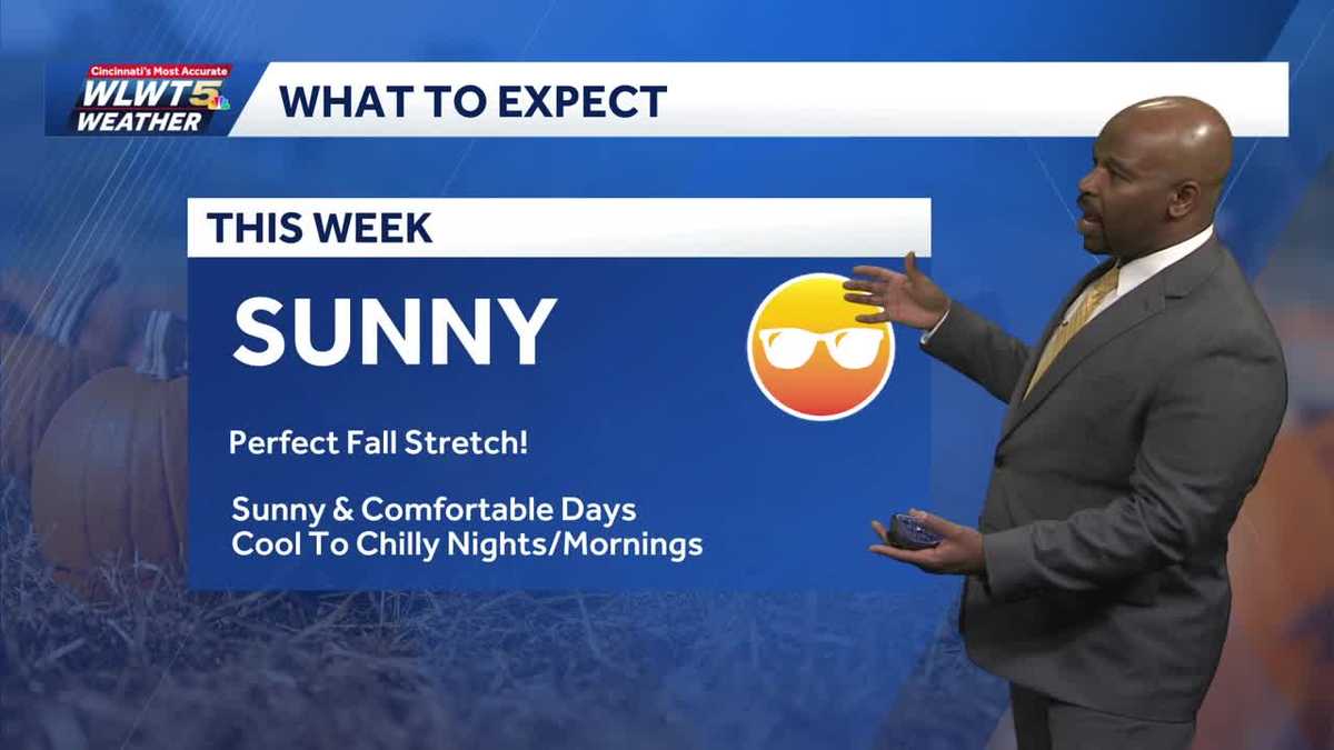 Cool Again Tonight Cincinnati, Mild Wednesday
WLWT Cool Again Tonight Cincinnati, Mild Wednesday Chilly again tonight and another comfortable Fall day Wednesday. Spotify says it's removed 70 million 'spammy' tracks amid AI-generated music flood Kyle Kennedy…
- Will it snow on Thanksgiving in Cincinnati? Almanac forecasts disagree
Fall has just begun, but Thanksgiving will be here before you know it. The Old Farmer's Almanac, which dates back to 1782, and the Farmers' Almanac, founded in 1818, have released their Thanksgiving weather forecasts…
-
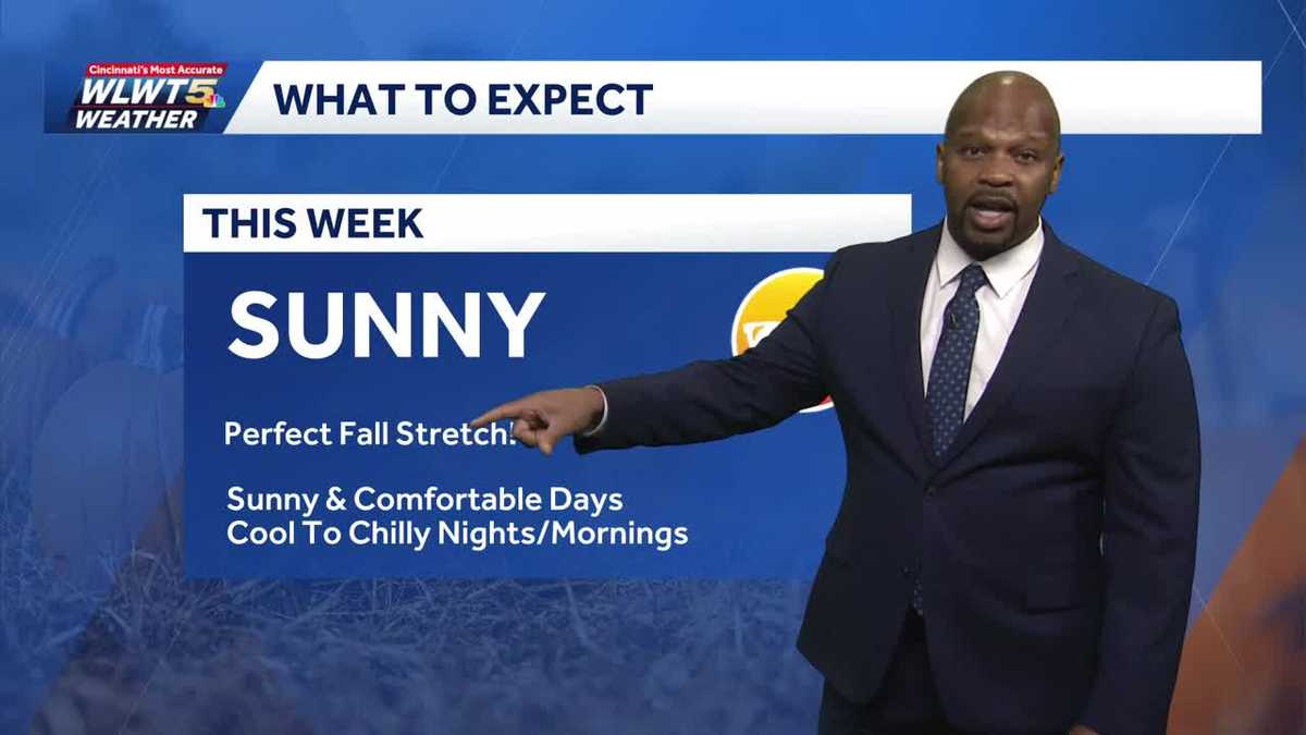 Fantastic Fall Weather All Week Cincinnati
WLWT Fantastic Fall Weather All Week Cincinnati Sunny comfortable days and cool to chilly nights. Supreme Court to hear case on race in middle school admissions Shark breach caught on video near California coast as…
-
 69 News Meteorologist Matt Broderick's morning weather forecast 10-20-26
WFMZ.com Mostly sunny and seasonably mild; a few high clouds and a bit breezy, especially the farther south and east you travel closer to the shore. A few clouds from time to time; dry and pleasant. More from the…
-
 More Mild, Sunny Days On the Way
FOX19 | Cincinnati CINCINNATI (WXIX) - High pressure continues to bring sunny and dry days, right through the end of the week. Temperatures will be briefly chilly each morning in the low to mid 40s, with above average…
-
 Heading into the afternoon mild temperatures continue, when we could see rain enter the forecast
FOX19 | Cincinnati Heading into the afternoon mild temperatures continue, when we could see rain enter the forecast Sky Tracker: Throwback of Snowflakes in Wrightsville Beach 2026 Veterans Honor Ceremony set for Nov. 13…
-
 Chilly morning, mild afternoons continue
Rain chances are still a week away CINCINNATI (WXIX) - A big area of high pressure is parked right on top of the Tri-State, bringing us a long string of sunny and dry days. Mornings will be chilly but not very frosty…
- A Big String of Mild and Dry Days
FOX19 | Cincinnati CINCINNATI (WXIX) - A big area of high pressure is parked right on top of the Tri-State, bringing us a long string of sunny and dry days. Mornings will be chilly but not very frosty, with temps in the…
-
 Fabulous Fall Weather Week
FOX19 | Cincinnati Fabulous Fall Weather Week Sunshine takes over the Tri-State with a long stretch of dry weather
Air quality
Acceptable. Unusually sensitive people should consider limiting prolonged outdoor exertion.
Forecast
- SunModerate (65)
- MonModerate (65)
Cincinnati, OH reporting area · 1 hr ago. Data from AirNow (EPA and its state, local and tribal partners); preliminary and subject to change.
Sun & moon
Almanac
MonthlyCincinnati Municipal Ap Lunken Field, records since 1949. Normals 1991–2020. Data from NOAA's Regional Climate Centers (ACIS).
Nearby
- Cincinnati 42 km
- Fairfield 59 km
- Covington 39 km
- Mason 48 km
- Florence 47 km
- Independence 40 km
- Lebanon 53 km
- Norwood 39 km
- White Oak 53 km
- Erlanger 45 km
- Forest Park 52 km
- Fort Thomas 34 km
Forecasters' discussion
From the National Weather Service office in ILN, issued 10 hrs ago
What Has Changed
No significant changes.
Key Messages
1) Dry conditions will persist though much of next week.
Discussion
KEY MESSAGE 1)
A blocky pattern characterized by a mid level ridge extending from the western Gulf to the western Great Lakes will shift slightly east into the early part of the week. Surface high situated east of the area will remain through the weekend. This will offer mainly clear skies and light winds which will lead to river valley fog overnight.
A weak surface front will sag south across the area Monday evening into the overnight hours. With a dry airmass - only expect some increase in clouds. The front will wash out as another surface high moves from Ontario to the northeast Atlantic coast.
The mid level ridge gets slowly suppressed south, breaking down by mid week as a short wave lifts out of the southern Plains and up the Ohio Valley into the Great Lakes.
This pattern will offer an extended period of dry conditions which will persist well into next week. Temperatures look to be above normal.
Aviation
Calm and mostly clear conditions tonight could lead to some BR/FG formation prior to sunrise mainly at KILN and KLUK (river valley fog). Any visibility restrictions mix out during the morning hours. Light easterly/southeasterly flow persists.
OUTLOOK...No significant weather expected.
Forecasts, observations and alerts in the United States come from the National Weather Service (NOAA); radar from NOAA's Multi-Radar Multi-Sensor system; satellite imagery from NASA's Global Imagery Browse Services (GIBS) and NOAA's GOES satellites; the map from the U.S. Geological Survey's National Map; air quality from AirNow (EPA and its partners); hurricane information from the National Hurricane Center; climate normals and records from NOAA's Regional Climate Centers (ACIS). Forecasts outside the United States and the UV index: MET Norway (CC BY 4.0); observations outside the U.S.: airport reports via NOAA's Aviation Weather Center. Place names: GeoNames (CC BY 4.0). Data are copied on a schedule and may lag the sources; for warnings that affect your safety, follow your local National Weather Service office and emergency officials. Weather news is drawn from the 4Conservative index and reflects what the press published. Terms of use.