Install
West Elmira, NY Weather
Current conditions
Observed at Ithaca Tompkins International Airport · 1 hr ago
Forecast
10-day-
Sunday Night
Mostly clear, with a low around 35.
-
Monday
Patchy fog before 8am. Sunny, with a high near 68.
-
Monday Night
Partly cloudy, with a low around 36.
National Weather Service forecast updated 2 days ago.
Hourly
Hourly forecast- Now38°
- 4 AM38°
- 5 AM38°
- 6 AM36°
- 7 AM35°
- 8 AM37°
- 9 AM43°
- 10 AM51°
- 11 AM59°
- 12 PM63°
- 1 PM66°
- 2 PM67°
- 3 PM68°
- 4 PM68°
- 5 PM66°
- 6 PM62°
- 7 PM58°
- 8 PM57°
- 9 PM54°
- 10 PM51°
- 11 PM48°
- Tue12 AM46°
- 1 AM45°
- 2 AM44°
Daily forecast
DetailsRadar
Full mapWeather news in New York
More weather news-
 First Alert Weather: Freezing temps overnight for some parts of New York - 10/24/26
CBS News - The 5:33 | Legacy of the LIRR Massacre - On The Dot with David Schechter: Wildfires & Climate Change First Alert Weather: Freezing temps overnight for some parts of New York - 10/24/26 Trump, Obama make…
-
 First Alert Weather: Sun and clouds Saturday in New York - 10/24/26
CBS News - The 5:33 | Legacy of the LIRR Massacre - On The Dot with David Schechter: Wildfires & Climate Change First Alert Weather: Sun and clouds Saturday in New York - 10/24/26 First Alert Weather: Near normal temps…
-
 Halloween 2026 Forecast For Upstate New York
As of right now things looks pretty good for October 31st. A little cool with a high of 50 degrees, but also sunny. That's according to the current 10 day forecast from Accuweather. Hopefully we get a little warmer than…
- Winter was a no-snow for New York City again
For a second straight winter, snow lovers in New York City were left wanting more. The city saw more snowfall than last year, when it saw the least on record, but it was far below average. Let's take a look at the…
-
 Dangerous Storm and Gale Warnings Issued for New York, Massachusetts, and the Rest of New England
The nor’easter’s strongest winds are shifting north, with Storm Warnings for waters south of New England, Gale Warnings for Massachusetts and Rhode Island waters, and coastal flooding on Long Island. The storm stays…
-
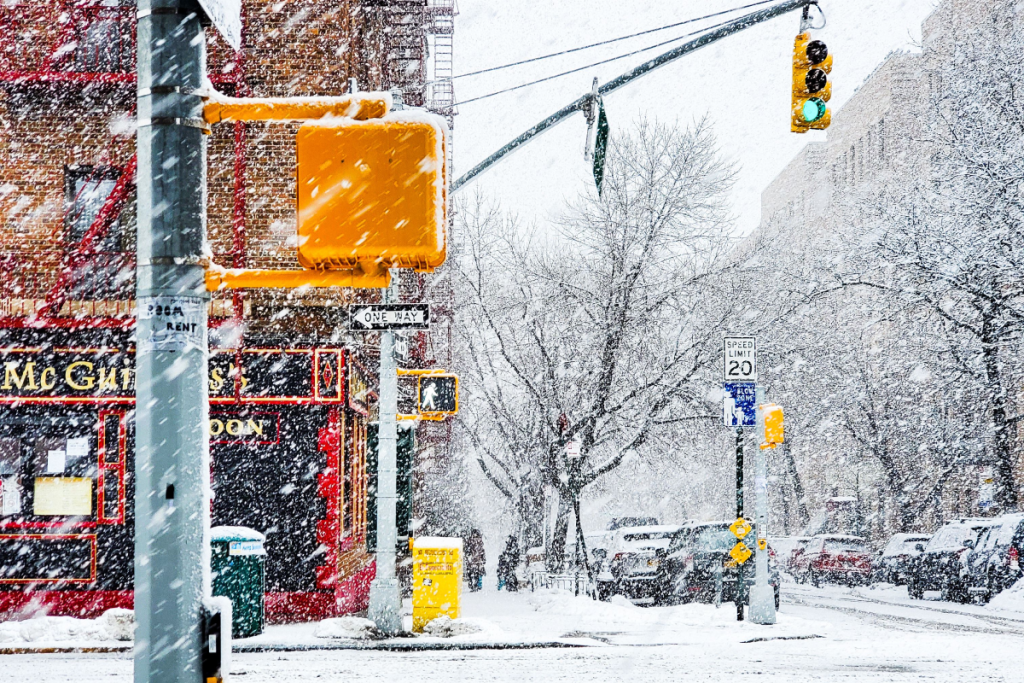 Here’s when New York City could see its first snowflakes of the season
As autumn chill settles over New York City, National Weather Service and NOAA climate data reveal when the five boroughs can expect their first flurries of the 2026 season. After a mild start to fall, recent temperature…
-
 Enjoy beautiful autumn weather in New York with sunny skies and temperatures up to 17°C
The Times of India New York, October 21, 2026 Today's weather is characterized by a mostly sunny and breezy day, marking a pleasant autumn shift in climate The temperature is expected to reach a high of 17°C, while…
-
 Champlain Valley, Northern New York, and Montreal
MyChamplainValley.com
-
 Good Morning, Buffalo: What a super El Niño could mean for Western New York
Oct. 18, 2026 Javascript is required to use this website. Golfers make their way to the next tee in the course at Delaware Park last week. In past El Ãino years, Western New York received much less snow than normal and…
- 10-Day Weather Forecast - Midtown New York, NY
As of Oct 19, 2026 08:00 PM UTC Mostly clear. Lows in the upper 40s. North winds 10 to 15 mph with gusts up to 25 mph. Sunny. Highs in the lower 60s. Northeast winds 10 to 15 mph with gusts up to 25 mph. Partly cloudy…
Sun & moon
Nearby
- Ithaca 49 km
- Elmira 3 km
- Corning 19 km
- Big Flats Airport 11 km
- Southport 3 km
- South Hill 47 km
- Horseheads 10 km
- Bath 48 km
- Sayre 29 km
- Big Flats 10 km
- Waverly 27 km
- Gang Mills 23 km
Forecasters' discussion
From the National Weather Service office in BGM, issued 2 hrs ago
What Has Changed
No changes to previous forecast.
Key Messages
1) Dry weather continues for most of the week with a few cold fronts crossing the region.
Discussion
KEY MESSAGE 1...
No significant weather impacts are expected over the next week plus. The pattern will continue to be mainly dry with high pressure dominating for the bulk of the forecast period. Only exceptions will be this afternoon and evening and again on Thursday as dry cold fronts push through the region. These fronts will bring an increase in wind gusts, however they will also bring an increase in relative humidity, which alleviates some of our fire weather concerns. Wind gusts of 15 to 20 mph will be possible starting this afternoon as the pressure gradient over the region tightens some. Minimum RH will range in the upper 40s to low 50s percent in the mid afternoon, before increasing in the late afternoon and evening as the stronger wind gusts arrive. Due to the increase in RH, we are not expecting to issue any fire related special weather statements, but will continue to monitor fire weather conditions closely.
A weak trough crossing into Western/North Central NY late this evening may bring a few sprinkles or brief shower to the northern portions of the area through early this morning. A few showers associated with this trough can be seen on radar along the St. Lawrence Valley, extending southwest, with the light showers tracking southeast.
Some of the guidance does bring a few showers or sprinkles across the area with the cold frontal passage later today and later Thursday, but the rainfall potential is very low and spatial coverage will be limited.
Aviation
Mainly VFR conditions are expected for most of the next 24 hours (at least through 06Z Tuesday), with a couple of exceptions. Clouds associated with a cold front are expected to bring MVFR ceilings to KSYR and KRME for a period this afternoon, mainly after 19Z. Any restrictions will likely dissipate by 00Z Tuesday. Seeing fog development at KELM this morning continues to look less likely (especially with higher clouds moving into the area) and therefore restrictions were removed from the 06Z set of TAFs.
Outlook...
Tuesday through Friday...Mainly VFR. Morning fog at KELM possible each morning. Low chance for showers at KSYR and KRME Thursday night with a cold front moving through.
Forecasts, observations and alerts in the United States come from the National Weather Service (NOAA); radar from NOAA's Multi-Radar Multi-Sensor system; satellite imagery from NASA's Global Imagery Browse Services (GIBS) and NOAA's GOES satellites; the map from the U.S. Geological Survey's National Map; air quality from AirNow (EPA and its partners); hurricane information from the National Hurricane Center; climate normals and records from NOAA's Regional Climate Centers (ACIS). Forecasts outside the United States and the UV index: MET Norway (CC BY 4.0); observations outside the U.S.: airport reports via NOAA's Aviation Weather Center. Place names: GeoNames (CC BY 4.0). Data are copied on a schedule and may lag the sources; for warnings that affect your safety, follow your local National Weather Service office and emergency officials. Weather news is drawn from the 4Conservative index and reflects what the press published. Terms of use. How to use Weather