Install
Watertown, NY Weather
Current conditions
Observed at Watertown, Watertown International Airport · 1 hr ago
Forecast
10-day-
Today
Sunny, with a high near 58. West wind 2 to 6 mph.
-
Tonight
Patchy fog after 11pm. Clear, with a low around 37. Southeast wind around 5 mph.
-
Sunday
Patchy fog before 10am. Sunny, with a high near 61. South wind 5 to 8 mph.
National Weather Service forecast updated 53 min ago.
Hourly
Hourly forecast- Now42°
- 11 AM48°
- 12 PM52°
- 1 PM55°
- 2 PM57°
- 3 PM58°
- 4 PM58°
- 5 PM57°
- 6 PM54°
- 7 PM51°
- 8 PM48°
- 9 PM42°
- 10 PM41°
- 11 PM40°
- Sun12 AM40°
- 1 AM40°
- 2 AM40°
- 3 AM40°
- 4 AM39°
- 5 AM39°
- 6 AM39°
- 7 AM38°
- 8 AM40°
- 9 AM44°
10-day forecast
Details- TodayOct 24Sunny37°58°
- SunOct 25Patchy Fog then Sunny45°61°
- MonOct 26Patchy Fog15%30°58°
- TueOct 27Patchy Fog then Sunny28°46°
- WedOct 28Mostly Sunny42°55°
- ThuOct 29Mostly Sunny then Slight Chance Rain Showers17%46°62°
- FriOct 30Mostly Sunny11%40°58°
- SatOct 31Mostly sunny44°61°
- SunNov 1Cloudy55°66°
- MonNov 2Rain0.32 in55°61°
Days after the National Weather Service's seven are MET Norway's outlook, a computer model with no forecaster's review.
Radar
Full mapWeather news near Watertown
More weather news-
 Another sunny day
WATERTOWN, New York (WWNY) - It’s a cold start to the day as temperatures are in the 20s and 30s. Highs today will once again top out in the upper 50s to around 60 with sunny skies. Clouds will build in on Thursday as a…
-
 Sunny tomorrow
WWNY WATERTOWN, New York (WWNY) -High pressure will continue to keep the region free from clouds and precipitation. Expect highs tomorrow and Thursday near 60 with lows in the 30’s. Friday will be sunny and cooler with…
-
 Still staying dry
WWNY WATERTOWN, New York (WWNY) - It’s another sunny day with highs in the upper 50s to lower 60s. Wednesday is looking to be another sunny day with highs in the upper 50s to lower 60s. We will see an increase in clouds…
- Keeping it dry and sunny
WWNY WATERTOWN, New York (WWNY) - Temperatures are in the 60s this afternoon with sunny skies. Highs this week will remain in the upper 50s to lower 60s as we remain dry with sunny skies. A few clouds will try to build…
-
 Halloween 2026 Forecast For Upstate New York
As of right now things looks pretty good for October 31st. A little cool with a high of 50 degrees, but also sunny. That's according to the current 10 day forecast from Accuweather. Hopefully we get a little warmer than…
-
 Dangerous Storm and Gale Warnings Issued for New York, Massachusetts, and the Rest of New England
The nor’easter’s strongest winds are shifting north, with Storm Warnings for waters south of New England, Gale Warnings for Massachusetts and Rhode Island waters, and coastal flooding on Long Island. The storm stays…
-
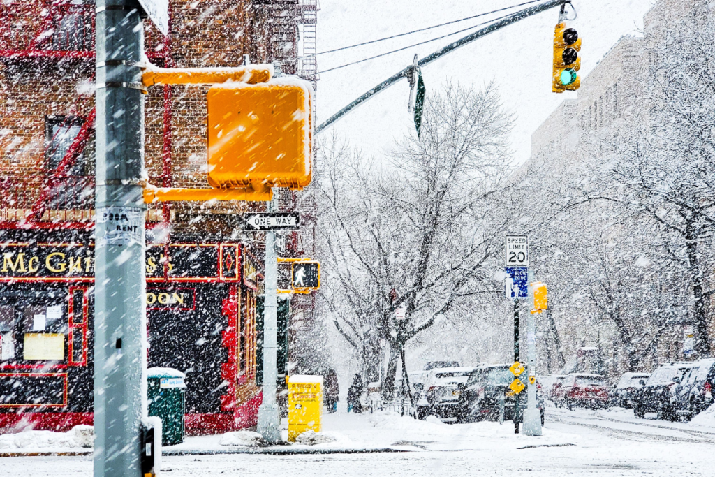 Here’s when New York City could see its first snowflakes of the season
As autumn chill settles over New York City, National Weather Service and NOAA climate data reveal when the five boroughs can expect their first flurries of the 2026 season. After a mild start to fall, recent temperature…
-
 Enjoy beautiful autumn weather in New York with sunny skies and temperatures up to 17°C
The Times of India New York, October 21, 2026 Today's weather is characterized by a mostly sunny and breezy day, marking a pleasant autumn shift in climate The temperature is expected to reach a high of 17°C, while…
-
 Champlain Valley, Northern New York, and Montreal
MyChamplainValley.com
-
 Freeze alerts stretch from Missouri to New York for Sunday
Temps drop for millions across the Central Plains, Midwest, Northeast The first real taste of fall is settling in for millions, including a few first frosts and freezes of the season for some in the Midwest and East…
Sun & moon
Almanac
MonthlyWatertown International Airport, records since 1949. Normals 1991–2020. Data from NOAA's Regional Climate Centers (ACIS).
Nearby
- Kingston 54 km
- Fort Drum 15 km
- Richland 46 km
- Gananoque 45 km
- Kingscourt 56 km
- Gouverneur 54 km
- Calvin Park 57 km
- Carthage 24 km
- Calcium 7 km
- Lowville 40 km
- Strathcona Park 58 km
- Polson Park 57 km
Forecasters' discussion
From the National Weather Service office in BUF, issued 6 hrs ago
What Has Changed
Isolated rain showers may accompany the passage of a cold front this Monday, especially across far-northern portions of North- Central NY, including the Thousand Islands. Otherwise no major changes were made to the forecast.
Key Messages
1) Dry weather is expected the majority of the time through early next week. However, a few rain showers may accompany the passage of a cold front this Monday.
Discussion
KEY MESSAGE 1...Dry weather is expected the majority of the time through early next week. However, a few rain showers may accompany the passage of a cold front this Monday.
Aloft, a ridge continues to build from the western Great Lakes and vicinity through tonight and then settles over the Northeast United States and vicinity this Sunday through Sunday night. At the surface, the ridge continues to affect our region as the embedded high pressure center wobbles generally S'ward from southern QC to the Mid-Atlantic states. Dry weather persists in our CWA as stabilizing subsidence accompanies the ridge. Sky will be clear during most of the time period, but passing cloudiness, primarily in the mid/upper-levels, is expected at times as moist isentropic ascent precedes the axes of shortwave troughs embedded in the primarily W'erly to NW'erly flow aloft, especially before daybreak this morning and again Sunday afternoon through Sunday night. Lows should reach mainly the mid 20's to mid 30's around daybreak this morning as clearing sky, weak or calm surface winds, and low humidity promote efficient radiational cooling. Highs should reach the mid 50's to lower 60's late this afternoon as weak WAA begins to develop along the western flank of the low-level ridge. Overnight lows mainly in the mid 20's to upper 30's are forecast around daybreak Sunday due to another round of efficient radiational cooling. Warmer highs, mainly in the upper 50's to upper 60's, are expected on Sunday and should be followed by overnight lows mainly in the mid 30's to upper 40's around daybreak Monday as the WAA regime strengthens somewhat along the western flank of the low-level ridge.
On Monday, cyclonic W'erly to WNW'erly flow aloft and embedded shortwave troughs are expected to impact our region. Variable amounts of mainly mid/upper-level cloudiness are expected amidst moist isentropic ascent ahead of the shortwave trough axes. At the surface, the aforementioned ridge will exit generally SE'ward and be followed by the SE'ward passage of a weak cold front during the late morning through early afternoon. A rather dry low-level atmospheric column should permit a dry cold front passage across most of our CWA. However, forcing for ascent along the front may coincide with sufficient amounts of low-level moisture to permit the development of isolated and light rain showers across far-northern portions of Jefferson and Lewis Counties, including the Thousand Islands. Behind the front, another high pressure ridge builds from central Canada and vicinity. Late afternoon highs should reach mainly the mid 50's to mid 60's.
During Monday night through Tuesday, the surface ridge will continue to affect our region as the embedded high pressure center moves from northern ON toward southwestern QC, while the ridge aloft builds from the Upper Midwest and eventually the western and central Great Lakes. Dry weather is expected as stabilizing subsidence accompanies the ridge. Low-level CAA behind Monday's cold front passage will contribute to lows reaching mainly the lower 20's to mid 30's around daybreak Tuesday and highs reaching the 40's to 50's late Tuesday afternoon.
Note: Clear sky or sufficient cloud breaks and weak or calm surface winds should contribute to localized steam fog in the Black River Valley, Western Southern Tier river valleys, and the lake valleys of the Finger Lakes Region during the predawn hours through about 10 AM EDT today through Tuesday, respectively.
Aviation
Mainly VFR flight conditions will continue through the 06Z TAF period. Periods of mid and upper level cloud will continue to pass over eastern portions of the region through the late night/early morning hours, followed by mainly SKC conditions for today.
Otherwise, the only issue will continue to be the possibility for late night/early morning river valley and inland lake fog that will bring localized flight restrictions where it is able to form. With mid and upper level decks possibly hanging on through a good chunk of the early morning hours across eastern portions of the area, the best possibility for any localized fog will be across the western Southern Tier and upper Genesee valleys late tonight, persisting through mid morning or so. Looking back at conditions yesterday morning, KJHW saw flight restrictions for around 30 minutes. With the very dry airmass and very similar conditions remaining in place, other than a subtle wind shift to SE'erly through the early morning hours, only brief impacts at worst are expected for KJHW again late tonight into the first part of this morning.
Outlook...
Tonight through Wednesday...Mainly VFR. However, localized flight restrictions will be possible each late night/early morning owed to river valley and inland lake fog.
Forecasts, observations and alerts in the United States come from the National Weather Service (NOAA); radar from NOAA's Multi-Radar Multi-Sensor system; satellite imagery from NASA's Global Imagery Browse Services (GIBS) and NOAA's GOES satellites; the map from the U.S. Geological Survey's National Map; air quality from AirNow (EPA and its partners); hurricane information from the National Hurricane Center; climate normals and records from NOAA's Regional Climate Centers (ACIS). Forecasts outside the United States and the UV index: MET Norway (CC BY 4.0); observations outside the U.S.: airport reports via NOAA's Aviation Weather Center. Place names: GeoNames (CC BY 4.0). Data are copied on a schedule and may lag the sources; for warnings that affect your safety, follow your local National Weather Service office and emergency officials. Weather news is drawn from the 4Conservative index and reflects what the press published. Terms of use.