Install
Monticello, NY Weather
Current conditions
Forecast for this hour (no station report in the last two hours)
Forecast
10-day-
Saturday
Sunny, with a high near 58. West wind around 3 mph.
-
Saturday Night
Clear, with a low around 29. West wind around 2 mph.
-
Sunday
Sunny, with a high near 62.
National Weather Service forecast updated 1 day ago.
Hourly
Hourly forecast- Now54°
- 1 PM56°
- 2 PM57°
- 3 PM58°
- 4 PM57°
- 5 PM56°
- 6 PM52°
- 7 PM47°
- 8 PM43°
- 9 PM40°
- 10 PM38°
- 11 PM36°
- Sun12 AM35°
- 1 AM34°
- 2 AM34°
- 3 AM33°
- 4 AM32°
- 5 AM32°
- 6 AM30°
- 7 AM29°
- 8 AM31°
- 9 AM37°
- 10 AM46°
- 11 AM53°
Daily forecast
Details- TonightOct 22Mostly Clear34°
- FriOct 23Sunny27°56°
- TodayOct 24Sunny29°58°
- SunOct 25Sunny35°62°
- MonOct 26Sunny40°65°
- TueOct 27Mostly Sunny34°58°
- WedOct 28Mostly Sunny38°55°
- ThuOct 29Partly Sunny59°
- FriOct 30Rain0.11 in49°63°
Days after the National Weather Service's seven are MET Norway's outlook, a computer model with no forecaster's review.
Radar
Full mapWeather news near Monticello
More weather news-
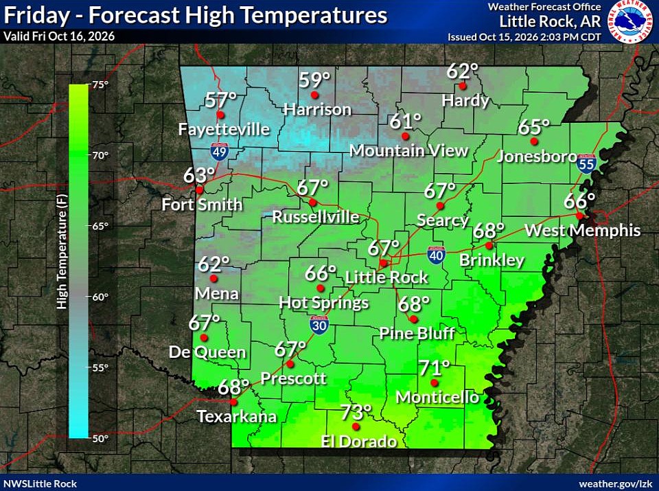 Cold front brings fall temperatures to Arkansas; forecasters warn of continued wildfire risk
The forecast holds good news for those ready for fall in Arkansas. Arkansans should feel some relief from warm temperatures Friday through next week as a cold front has brought cooler temperatures to the state. This…
-
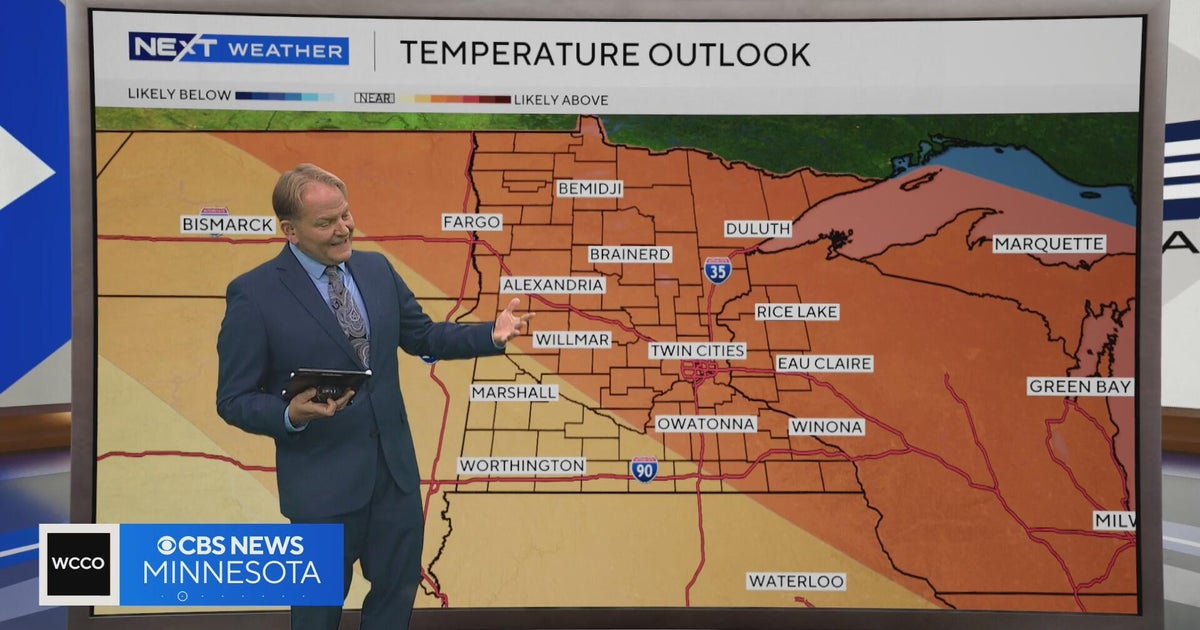 NEXT Weather | 6 p.m. weather report for Oct. 15, 2026
CBS News NEXT Weather | 6 p.m. weather report for Oct. 15, 2026 NEXT Weather: 5 p.m. report on Oct. 15, 2026 Minnesota bishop keeps faith through lung cancer diagnosis Small Minnesota school mourns deaths of 3 current…
-
 Hurricane Rachel’s Remnants Bring Record Precipitation to Drought-Stricken Utah
At SSBCrack News, our dedicated editorial team brings you the latest and most reliable updates on Defence, Geopolitics, Military Affairs, Science, and Technology. Driven by a passion for national security and strategic…
-
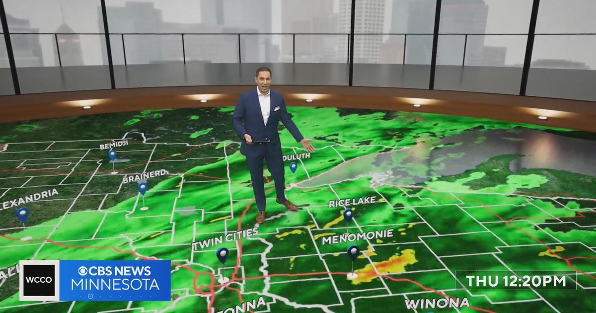 Freeze watch covers much of Minnesota for Friday night into Saturday morning | Oct. 15, 2026
The watch covers counties shaded in blue on the forecast map and could be upgraded to a frost advisory or freeze warning. The Twin Cities core is likely to see lows of 32 to 35 degrees, and outlying areas, including…
-
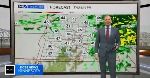 NEXT Weather: Noon report for Minnesota on Oct. 15, 2026
CBS News NEXT Weather: Noon report for Minnesota on Oct. 15, 2026 Minnesota company focuses on creating opportunity for farmers in Philippines WCCO’s Shayla Reaves, husband Leonard Searcy compete as American Heart…
-
 Tropical Storm Rachel’s remnants are gone, but they left a record-high benefit
The remnants of what was once Hurricane Rachel ultimately delivered big totals across drought-stricken Utah. Gauges on Big Mountain and the Mount Timpanogos Divide in the Wasatch Mountains collected at least 7.5 inches…
-
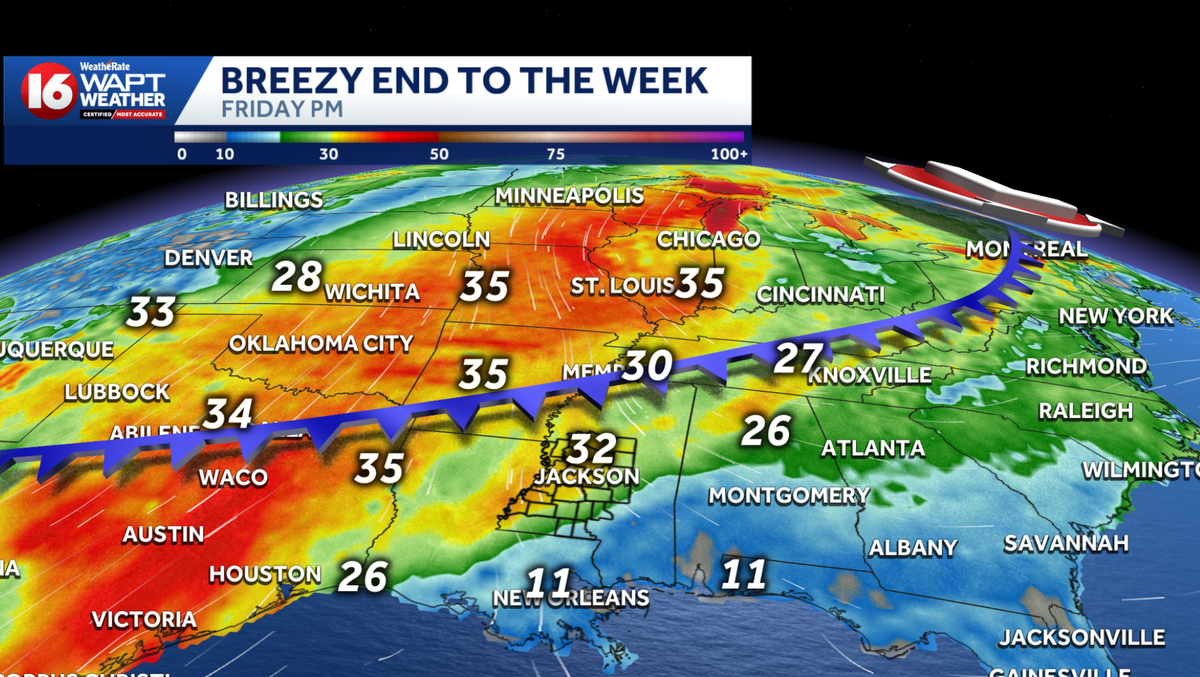 Cold front brings nice cooldown and increased fire danger
WAPT Weâll start the day a bit warmer than yesterday Morning temperatures range from the low 60s in eastern Mississippi to around 70 degrees toward the Delta counties Patchy, dense fog will be possible this morning in…
- From Sizzle to Shiver: Minneapolis Plunges into Cloudy Fall Chill
Minneapolis woke Tuesday to cloudy skies and temperatures in the mid-50s, a sharp comedown from the city’s recent summerlike stretch. The cooler pattern sticks around through the week, with a chance of showers Thursday…
-
 Halloween 2026 Forecast For Upstate New York
As of right now things looks pretty good for October 31st. A little cool with a high of 50 degrees, but also sunny. That's according to the current 10 day forecast from Accuweather. Hopefully we get a little warmer than…
-
 Dangerous Storm and Gale Warnings Issued for New York, Massachusetts, and the Rest of New England
The nor’easter’s strongest winds are shifting north, with Storm Warnings for waters south of New England, Gale Warnings for Massachusetts and Rhode Island waters, and coastal flooding on Long Island. The storm stays…
Air quality
Air quality is satisfactory, and air pollution poses little or no risk.
Forecast
- SatModerate (55)
- SunModerate (60)
- MonModerate (65)
Delaware Water Gap, NJ reporting area · 1 hr ago. Data from AirNow (EPA and its state, local and tribal partners); preliminary and subject to change.
Sun & moon
Almanac
MonthlyPort Jervis, records since 1890. Normals 1991–2020. Data from NOAA's Regional Climate Centers (ACIS).
Nearby
- Kiryas Joel 56 km
- Newburgh 59 km
- Middletown 32 km
- Wawarsing 30 km
- Fallsburg 11 km
- Woodbury 58 km
- Scotchtown 34 km
- New Windsor 59 km
- Monroe 55 km
- Port Jervis 31 km
- New Paltz 51 km
- Orange Lake 51 km
Forecasters' discussion
From the National Weather Service office in BGM, issued 17 hrs ago
What Has Changed
There were no significant changes with this update.
Key Messages
1) High pressure over the region will generally keep conditions warm and dry. A couple of cold fronts will move through next week with brief cool periods to follow.
Discussion
KEY MESSAGE 1...
The blue letter H will stay on the weather maps throughout the forecast period as atmospheric pressure will be as high as 1034 millibars. Thermodynamically, the days will be mild with high temperatures in the 60s. The exception comes around midweek, Tuesday into Wednesday, when temperatures only climb into the 50s after a cold front passage late Monday. At night, radiational cooling will take place under clear skies, so lows will be in the 20s and 30s through the weekend and into early next week. The return of southerly flow later in the week will keep the overnight periods more mild. Patchy fog will also be possible each night.
Hydrologically, precipitation chances will be minimal for another week. The aforementioned cold front on Monday will dry out as it moves into the region though some models are hinting at some sprinkles or even light rain for the Tug Hill and Mohawk Valley. There will be quite a bit of dry air to overcome though, so PoPs are not high enough yet to mention in the forecast. Rain chances may be better late in the week but even then, it does not look like a guarantee. A warm front/cold front combo will pass through. Some models have showers with the warm front while others do not. Then with the cold front, it runs into the drier air and showers fall apart, similar to the front earlier in the week.
Aviation
VFR flight conditions expected this evening and tomorrow with high pressure continuing over the region. Light and variable winds are also expected through the period. Morning valley fog will be possible, causing reductions to VSBYs at times to IFR or lower, especially for ELM and possibly ITH.
Outlook...
Saturday night through Wednesday...Mainly VFR. Morning fog at KELM possible each morning.
Forecasts, observations and alerts in the United States come from the National Weather Service (NOAA); radar from NOAA's Multi-Radar Multi-Sensor system; satellite imagery from NASA's Global Imagery Browse Services (GIBS) and NOAA's GOES satellites; the map from the U.S. Geological Survey's National Map; air quality from AirNow (EPA and its partners); hurricane information from the National Hurricane Center; climate normals and records from NOAA's Regional Climate Centers (ACIS). Forecasts outside the United States and the UV index: MET Norway (CC BY 4.0); observations outside the U.S.: airport reports via NOAA's Aviation Weather Center. Place names: GeoNames (CC BY 4.0). Data are copied on a schedule and may lag the sources; for warnings that affect your safety, follow your local National Weather Service office and emergency officials. Weather news is drawn from the 4Conservative index and reflects what the press published. Terms of use.