Install
Cortland, NY Weather
Current conditions
Observed at Cortland County-Chase Field · 1 hr ago
Forecast
10-day-
Friday
Areas of fog before 10am. Sunny, with a high near 55. Northeast wind around 3 mph.
-
Friday Night
Partly cloudy, with a low around 25. Northeast wind around 1 mph.
-
Saturday
Sunny, with a high near 59. South wind around 2 mph.
National Weather Service forecast updated 1 day ago.
Hourly
Hourly forecast- Now55°
- 5 PM54°
- 6 PM51°
- 7 PM45°
- 8 PM39°
- 9 PM37°
- 10 PM35°
- 11 PM34°
- Sat12 AM33°
- 1 AM32°
- 2 AM31°
- 3 AM30°
- 4 AM29°
- 5 AM28°
- 6 AM26°
- 7 AM25°
- 8 AM27°
- 9 AM33°
- 10 AM42°
- 11 AM50°
- 12 PM54°
- 1 PM57°
- 2 PM58°
- 3 PM59°
10-day forecast
Details- ThuOct 22Mostly Sunny30°59°
- TodayOct 23Areas Of Fog then Sunny25°55°
- SatOct 24Sunny27°59°
- SunOct 25Sunny35°62°
- MonOct 26Mostly Sunny38°64°
- TueOct 27Partly Sunny35°57°
- WedOct 28Partly Sunny10%38°58°
- ThuOct 29Mostly sunny0.24 in44°61°
- FriOct 30Partly cloudy0.12 in35°52°
- SatOct 31Sunny33°51°
Days after the National Weather Service's seven are MET Norway's outlook, a computer model with no forecaster's review.
Radar
Full mapWeather news near Cortland
More weather news-
 Code Blue shelters open across Southern Tier as temperatures drop
JOHNSON CITY, N.Y. (WBNG) -- As temperatures drop across the Southern Tier, Code Blue shelters are providing warm places to stay. In Broome County, the overnight warming center at United Presbyterian Church in…
-
 Code Blue Warming Shelter to Open This Weekend Due to Cold Temps.
Cortland County will open its Code Blue Warming Center early Friday evening as cold temperatures are expected to move into the area, with temperatures forecast to drop into the 20s early Saturday morning. The warming…
-
 Weather Planner: Thursday, October 15, 2026
After a cloudy start, sunshine will gradually increase on Thursday, though it will continue to mix with clouds throughout the day. Winds will be light with highs in and around the upper 50s. Clouds will increase again…
-
 Dangerous Storm and Gale Warnings Issued for New York, Massachusetts, and the Rest of New England
The nor’easter’s strongest winds are shifting north, with Storm Warnings for waters south of New England, Gale Warnings for Massachusetts and Rhode Island waters, and coastal flooding on Long Island. The storm stays…
-
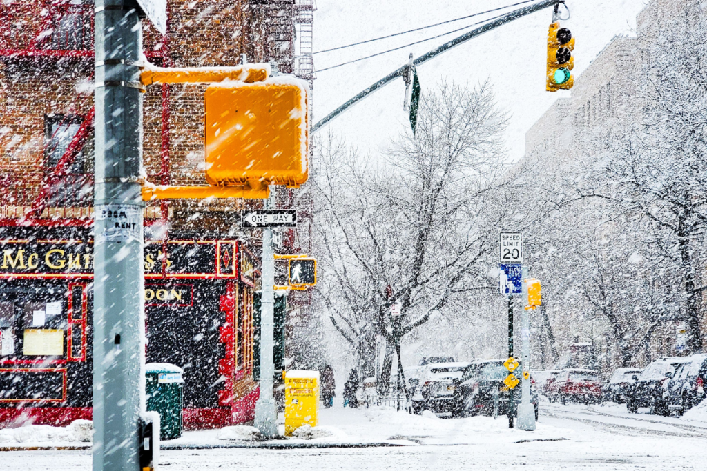 Here’s when New York City could see its first snowflakes of the season
As autumn chill settles over New York City, National Weather Service and NOAA climate data reveal when the five boroughs can expect their first flurries of the 2026 season. After a mild start to fall, recent temperature…
-
 Enjoy beautiful autumn weather in New York with sunny skies and temperatures up to 17°C
The Times of India New York, October 21, 2026 Today's weather is characterized by a mostly sunny and breezy day, marking a pleasant autumn shift in climate The temperature is expected to reach a high of 17°C, while…
-
 Freeze alerts stretch from Missouri to New York for Sunday
Temps drop for millions across the Central Plains, Midwest, Northeast The first real taste of fall is settling in for millions, including a few first frosts and freezes of the season for some in the Midwest and East…
-
 Good Morning, Buffalo: What a super El Niño could mean for Western New York
Oct. 18, 2026 Javascript is required to use this website. Golfers make their way to the next tee in the course at Delaware Park last week. In past El Ãino years, Western New York received much less snow than normal and…
-
 First Alert Weather: Bright sunshine, crisp air for Sunday in New York - 10/17/26
CBS News Detroit Weekend 11pm CBS News Los Angeles Weekend 8pm CBS News Philadelphia Weekend KDKA News Weekend 11pm CBS News Texas Weekend 10pm
-
 First Alert Weather: Clear skies with chilly temps Sunday in New York - 10/17/26
CBS News Bay Area Evening Edition Weekend 6pm CBS News Detroit Weekend 6pm CBS News Los Angeles Weekend 6pm CBS News Philadelphia 7:30pm Health Watch on CBS News Sacramento CBS News Texas Saturday 5pm
Air quality
Air quality is satisfactory, and air pollution poses little or no risk.
Forecast
- FriGood (46)
- SatGood (33)
- SunGood (35)
Central New York Region, NY reporting area · 1 hr ago. Data from AirNow (EPA and its state, local and tribal partners); preliminary and subject to change.
Sun & moon
Almanac
MonthlyIthaca Cornell Univ, records since 1893. Normals 1991–2020. Data from NOAA's Regional Climate Centers (ACIS).
Nearby
- Syracuse 50 km
- Binghamton 60 km
- Ithaca 31 km
- Vestal 58 km
- Auburn 48 km
- Johnson City 57 km
- Endicott 57 km
- Endwell 56 km
- Fairmount 50 km
- Norwich 54 km
- North Syracuse 59 km
- South Hill 33 km
Forecasters' discussion
From the National Weather Service office in BGM, issued 3 hrs ago
What Has Changed
There were no significant changes with this update.
Key Messages
1) High pressure over the region will generally keep the region warm and dry. A couple of cold fronts will move through next week with brief cool periods to follow.
Discussion
KEY MESSAGE 1...
The blue letter H will stay on the weather maps throughout the forecast period as atmospheric pressure will be as high as 1034 millibars. Thermodynamically, the days will be mild with high temperatures in the 60s. The exception comes around midweek, Tuesday into Wednesday, when temperatures only climb into the 50s after a cold front passage late Monday. At night, radiational cooling will take place under clear skies, so lows will be in the 20s and 30s through the weekend and into early next week. The return of southerly flow later in the week will keep the overnight periods more mild. Patchy fog will also be possible each night.
Hydrologically, precipitation chances will be minimal for another week. The aforementioned cold front on Monday will dry out as it moves into the region though some models are hinting at some sprinkles or even light rain for the Tug Hill and Mohawk Valley. There will be quite a bit of dry air to overcome though, so PoPs are not high enough yet to mention in the forecast. Rain chances may be better late in the week but even then, it does not look like a guarantee. A warm front/cold front combo will pass through. Some models have showers with the warm front while others do not. Then with the cold front, it runs into the drier air and showers fall apart, similar to the front earlier in the week.
Aviation
VFR flight conditions expected through Saturday with high pressure continuing over the region. Light and variable winds through Saturday as well. Morning valley and lake fog will be possible, causing reductions to VSBYs at times to IFR or lower, especially for ELM and possibly ITH.
Outlook...
Saturday night through Wednesday...Mainly VFR. Morning fog at KELM possible each morning.
Forecasts, observations and alerts in the United States come from the National Weather Service (NOAA); radar from NOAA's Multi-Radar Multi-Sensor system; satellite imagery from NASA's Global Imagery Browse Services (GIBS) and NOAA's GOES satellites; the map from the U.S. Geological Survey's National Map; air quality from AirNow (EPA and its partners); hurricane information from the National Hurricane Center; climate normals and records from NOAA's Regional Climate Centers (ACIS). Forecasts outside the United States and the UV index: MET Norway (CC BY 4.0); observations outside the U.S.: airport reports via NOAA's Aviation Weather Center. Place names: GeoNames (CC BY 4.0). Data are copied on a schedule and may lag the sources; for warnings that affect your safety, follow your local National Weather Service office and emergency officials. Weather news is drawn from the 4Conservative index and reflects what the press published. Terms of use.