Install
Alamo, NV Weather
Current conditions
Forecast for this hour (no station report in the last two hours)
Forecast
10-day-
Friday Night
Mostly clear, with a low around 39.
-
Saturday
Sunny, with a high near 66.
-
Saturday Night
Mostly clear, with a low around 39.
National Weather Service forecast updated 4 days ago.
Hourly
Hourly forecast- Now41°
- 5 AM40°
- 6 AM39°
- 7 AM40°
- 8 AM42°
- 9 AM47°
- 10 AM53°
- 11 AM58°
- 12 PM61°
- 1 PM64°
- 2 PM65°
- 3 PM66°
- 4 PM66°
- 5 PM64°
- 6 PM60°
- 7 PM55°
- 8 PM50°
- 9 PM48°
- 10 PM47°
- 11 PM46°
- Sun12 AM45°
- 1 AM43°
- 2 AM42°
- 3 AM41°
10-day forecast
Details- TonightOct 19Mostly Clear46°
- TueOct 20Sunny16%48°76°
- WedOct 21Mostly Sunny then Slight Chance Showers And Thunderstorms83%49°75°
- ThuOct 22Showers And Thunderstorms94%42°66°
- FriOct 23Mostly Sunny10%39°66°
- TodayOct 24Sunny39°66°
- SunOct 25Sunny42°67°
- MonOct 26Sunny68°
- TueOct 27Cloudy46°70°
- WedOct 28Cloudy50°70°
Days after the National Weather Service's seven are MET Norway's outlook, a computer model with no forecaster's review.
Radar
Full mapWeather news near Alamo
More weather news-
 Dangerous Freeze Warnings Issued for Nevada, Idaho and Utah as Temperatures Plummet
Freeze Warnings are in effect tonight across parts of Utah, Nevada and Idaho, with lows in the mid to upper 20s on the Snake River Plain around Idaho Falls and Pocatello, and 28 in Lincoln County, Nevada. The warnings…
-
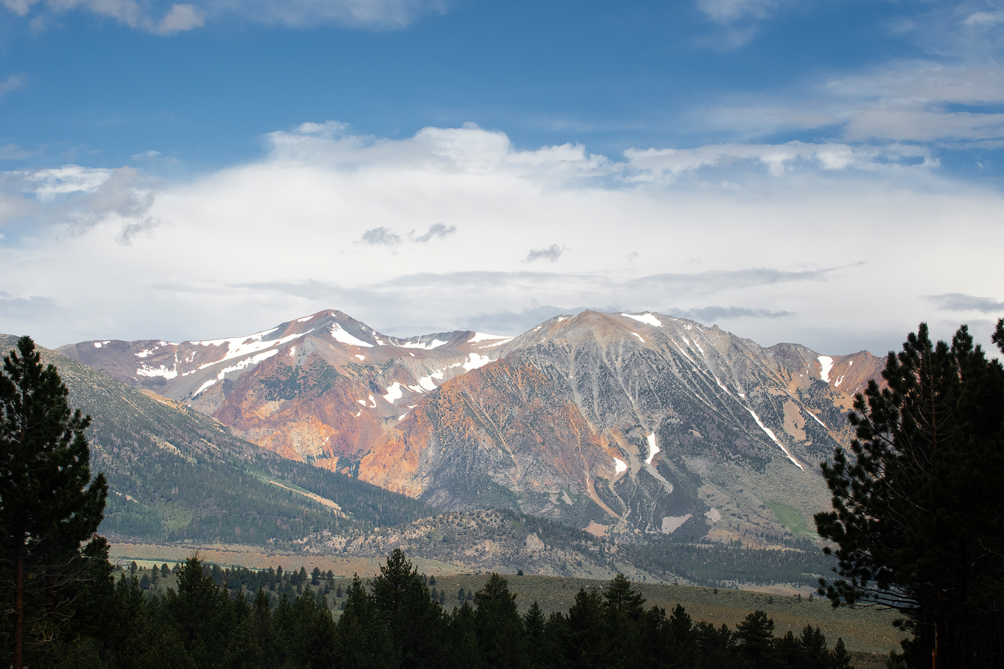 Storm to bring snow to high peaks in the Sierra Nevada
Mammoth Lakes could see snow from the storm moving into the Sierra Nevada this week. A storm moving through California this week is forecast to deliver snow to high peaks in the Sierra Nevada on Wednesday, with snow…
-
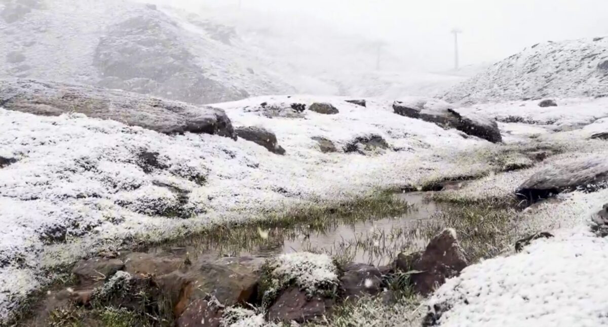 Sierra Nevada turns white early: First autumn snow hits peaks above Borreguiles
First snow of the season in Sierra Nevada. Credit: SN X First proper snow of the autumn has arrived on Sierra Nevada’s high ground this weekend, turning upper slopes white just as the resort looks forward to the 2026/27…
-
 Sunshine, warmer temperatures continue across northern Nevada Saturday
A beautiful Friday evening from News4/FOX11's Porsche Reno SkyCam Saturday is shaping up to be a beautiful day across the Truckee Meadows, with plenty of sunshine and temperatures climbing into the upper 70s in Reno…
-
 A Beautiful Fall Weekend in Southern Nevada
KTNV Las Vegas TONIGHT: Clear Low: 62 ° Winds: NE 5-10SATURDAY: Partly cloudy High: 79° Winds: NE 5-15SUNDAY: Sunny High: 79° Winds: Light NEFridayâs HaikuClear and cool tonightA beautiful fall weekendHighs around…
-
 Gusty North Winds Continue in Southern Nevada
ktnv.com Gusty North Winds Continue in Southern Nevada
-
 Drought Status Update for California-Nevada
NIDIS and its partners will issue future drought status updates as conditions evolve. Water Year 2026 Recap: Near-Normal Precipitation and a Warm Water Year Caused Mixed Drought Conditions This update is based on data…
Sun & moon
Almanac
MonthlyHiko, records since 1989. Normals 1991–2020. Data from NOAA's Regional Climate Centers (ACIS).
Forecasters' discussion
From the National Weather Service office in VEF, issued 3 hrs ago
Key Messages
* Gusty north winds today with lingering shower and storm chances in northwestern Arizona.
* Quiet and seasonable conditions through at least Wednesday, with signs of a more active pattern returning late in the week.
Discussion
through Halloween.
Water vapor imagery shows a trough overhead with a vort max over southern CA in the process of pinching off into a closed low. Behind the shortwave, gusty north winds are currently pushing through the southern Great Basin and into the northern Mojave Desert. These will continue advance southward, encompassing most of the CWA by sunrise. Strongest winds anticipated in Death Valley and the southern Owens Valley where gusts of 40-50 mph are possible through the morning hours. Elsewhere, expecting gusts generally 20-35 mph, weakening during the 2nd half of the day. The formation of the closed low will cause the system to slowly exit the region, lingering over northwestern AZ this afternoon. The cold air aloft, residual moisture, and daytime heating should drive isolated to scattered showers and maybe even a few storms over eastern Mohave County (20- 40%), with lower chances (10-20%) over southeastern NV and the Colorado River Valley. Can't completely rule out an isolated instance of flash flooding in eastern Mohave County, but odds are 5% at best.
Our low finally exits on Sunday, leaving us in a zonal pattern for a few days before transitioning to southwesterly flow later in the week. From Sunday - Thursday, the forecast calls for seasonable temperatures, light breezes, and dry conditions. Late in the week, ensemble guidance shows an energized subtropical jet trying to push moisture into the southwestern US. Cluster analysis shows several variations of offshore troughing during this time, so there remains a fair amount of uncertainty, but there appears to be a good signal for the existence of an offshore trough and southwesterly flow over us. Should this come to fruition, we should see an increase in southwest winds and low to moderate (10-50%) precipitation chances around Halloween weekend.
Aviation
For Harry Reid...For the 06Z Forecast Package...Light northwest will persist a few more hours. A push of stronger northwest winds are expected tonight, likely after 09Z. Gusts up to 25KT are expected with these stronger winds with the push of winds, especially at onset. Gusty northwest will continue through Saturday morning into the afternoon, then will slowly diminishing 21Z. Gusts should end by 00Z. Northwest will continue into Saturday evening but will remain at 10-15KT for the first part of the night, then lighter winds will arrive by 06Z. VFR mostly clear skies will persist through the TAF period.
For the rest of southern Nevada, northwest Arizona and southeast California...For the 06Z Forecast Package...Expect an increase in winds overnight at most locations as a cold front pushes through the region. Gusts 25-35KT are expected behind the front. Gusty north to northwest winds last into the first half of the day Saturday, then likely begin diminishing late afternoon and evening. Mostly clear skies last through the TAF period. Other a few isolated showers in Mohave County Saturday night, it will be dry across the region.
Spotter Information Statement
Spotters are encouraged to report any significant weather or impacts according to standard operating procedures.
Forecasts, observations and alerts in the United States come from the National Weather Service (NOAA); radar from NOAA's Multi-Radar Multi-Sensor system; satellite imagery from NASA's Global Imagery Browse Services (GIBS) and NOAA's GOES satellites; the map from the U.S. Geological Survey's National Map; air quality from AirNow (EPA and its partners); hurricane information from the National Hurricane Center; climate normals and records from NOAA's Regional Climate Centers (ACIS). Forecasts outside the United States and the UV index: MET Norway (CC BY 4.0); observations outside the U.S.: airport reports via NOAA's Aviation Weather Center. Place names: GeoNames (CC BY 4.0). Data are copied on a schedule and may lag the sources; for warnings that affect your safety, follow your local National Weather Service office and emergency officials. Weather news is drawn from the 4Conservative index and reflects what the press published. Terms of use.