Install
Portales, NM Weather
Current conditions
Observed at Cannon Air Force Base / Clovis · 1 hr ago
Forecast
10-day-
Today
Sunny, with a high near 77. South wind 0 to 10 mph.
-
Tonight
Mostly clear, with a low around 53. South wind 0 to 10 mph.
-
Wednesday
Mostly sunny, with a high near 82. Southwest wind 0 to 10 mph.
National Weather Service forecast updated 3 hrs ago.
Hourly
Hourly forecast- Now57°
- 10 AM64°
- 11 AM68°
- 12 PM72°
- 1 PM75°
- 2 PM76°
- 3 PM77°
- 4 PM77°
- 5 PM76°
- 6 PM74°
- 7 PM69°
- 8 PM66°
- 9 PM64°
- 10 PM62°
- 11 PM61°
- Wed12 AM59°
- 1 AM58°
- 2 AM57°
- 3 AM56°
- 4 AM55°
- 5 AM54°
- 6 AM54°
- 7 AM54°
- 8 AM55°
10-day forecast
Details- TodayOct 20Sunny53°77°
- WedOct 21Mostly Sunny54°82°
- ThuOct 22Mostly Sunny57°80°
- FriOct 23Partly Sunny then Chance Showers And Thunderstorms67%55°77°
- SatOct 24Showers And Thunderstorms Likely60%51°72°
- SunOct 25Chance Rain Showers50%51°66°
- MonOct 26Chance Rain Showers38%47°66°
- TueOct 27Heavy rain0.69 in51°56°
- WedOct 28Rain0.20 in45°59°
- ThuOct 29Partly cloudy44°63°
Days after the National Weather Service's seven are MET Norway's outlook, a computer model with no forecaster's review.
Radar
Full mapWeather news near Portales
More weather news- News - Cairo Portal
cairo.gov.eg Meteorological Authority: Warm weather during the day, with Cairo’s high reaching 29°C. The Meteorological Authority expects warm weather across northern Egypt, extending to Greater Cairo, and hot weather…
-
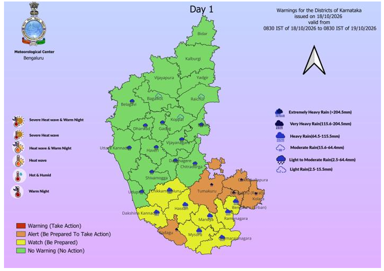 Bengaluru Faces Two More Days of Thundershowers; IMD Flags Heavy Rain, 30–40 Kmph Gusts Across South Interior Karnataka
Bengaluru’s Leading News Portal Bengaluru: Bengaluru and large parts of South Interior Karnataka are set for another spell of unsettled weather, with the India Meteorological Department forecasting rain and…
- Vaguada forecast will cause rain starting this afternoon: Over which provinces?
Last update on October 18, 2026 Local October 18, 2026 The Dominican Institute of Meteorology (Indomet) reported that on Sunday morning, good weather will prevail, with few clouds and hot conditions in much of the…
- Powerful Snowfalls Are Approaching Europe — Where and When the Heaviest Precipitation Is Forecast
At the end of October, heavy snowfalls are expected in certain regions of Europe. In some places, the height of the fresh snow cover may reach 35 cm. The precipitation will be accompanied by strong winds, blizzards, and…
-
 Fresh Snowfall At Zojila Pass In Photos: Tourists Enjoy Snow, Army Keeps Vigil
Outlook India Fresh snowfall near Zojila Pass along the Srinagar-Leh National Highway draws tourists to the snow-covered landscape, as Army personnel maintain a vigil in Jammu and Kashmir CBI Questions Ex-BJP MLA Suresh…
-
 NOAA’s Winter Outlook Has Good and Bad News for Kentucky and Indiana
The National Oceanic and Atmospheric Administration (NOAA) has released its U.S. winter outlook for 2026-2027, and it looks like El Niño will be a star player, for better or worse. And by that I mean there will be doses…
-
 High wind warning and freeze alert issued for New Mexico Thursday night
ALBUQUERQUE, N.M. – A strong cold front will bring a significant east wind event across New Mexico, with potentially damaging gusts and the coldest air of the season so far. The front is pushing south and west across…
- Singapore is experiencing its 12th consecutive day of unhealthy air, the longest since 2015 haze crisis
This year, Singapore has endured almost six weeks of hazy conditions so far – with worsening air conditions prompting the government to launch new relief measures. View all posts by The Straits Times → SINGAPORE –…
-
 NOAA forecasts warmer northern U.S. winter and wetter southern conditions due to El Niño
A strong El Niño is expected to bring warmer-than-average temperatures to much of the northern United States and wetter conditions across the South this winter, federal forecasters said Thursday. The National Oceanic…
-
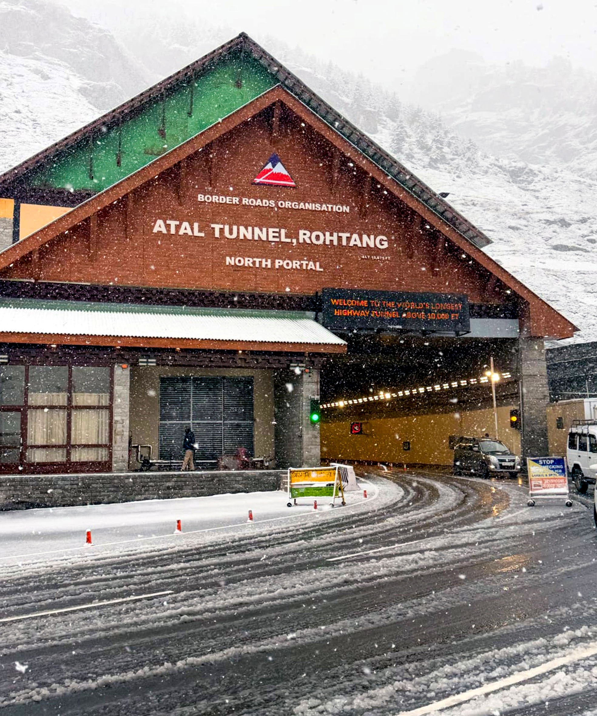 Manali: Fresh Snowfall Blankets North Portal of Atal Tunnel #Gallery
Manali: Fresh snowfall blankets the North Portal of the Atal Tunnel near Rohtang in Lahaul and Spiti district of Himachal Pradesh on Thursday, October 15, 2026. (Photo: IANS) Facebook Comments About SocialNewsXYZAn…
Sun & moon
Almanac
MonthlyPortales, records since 1905. Normals 1991–2020. Data from NOAA's Regional Climate Centers (ACIS).
Nearby
- Clovis 27 km
- Muleshoe 56 km
- Cannon Air Force Base 23 km
Forecasters' discussion
From the National Weather Service office in ABQ, issued 3 hrs ago
Key Messages
Issued at 525 AM MDT Tue Oct 20 2026
- Isolated to scattered showers and storms will focus over western and central New Mexico today. Brief gusty outflow winds and lightning are the main hazards.
- Flash flood risk increases in northwest New Mexico Wednesday, spreading eastward into central New Mexico late Thursday into Friday.
- A few strong to severe storms in western New Mexico Wednesday could produce damaging outflow wind gusts and large hail. The severe threat extends into central New Mexico Thursday.
Update
Issued at 525 AM MDT Tue Oct 20 2026
PoPs were updated based on current radar trends. In general, they were increased across central New Mexico where showers have increased in coverage over the past few hours.
Short Term
(Today through Wednesday Night) Issued at 131 AM MDT Tue Oct 20 2026
Water vapor imagery this morning shows a vort max over the Four Corners, with drier air making its way in from the southwest. Subsidence in the wake of this shortwave along with some dry air advection will slightly decrease the coverage of showers and storms today, with isolated convection favoring central New Mexico where a corridor of enhanced instability is progged to set up.
Meanwhile, the potent Pacific storm system that will impact the region later this week is starting to take shape off the California coast today. The trough will continue to dig southward today through tonight, with increasing southwest flow over the desert southwest as this storm begins to interact with the sub-tropical jet stream. Strong moisture advection will continue throughout the day Wednesday, with the strongest IVT (Integrated Vapor Transport) over central Arizona. Northwest NM will be on the eastern fringes of the main moisture plume. Large scale ascent will drive most of the rainfall (as opposed to destabilization) so light to moderate rainfall rates will be favored. This could change during the overnight period, depending on the evolution of convection over Arizona.
Long Term
(Thursday through Monday) Issued at 131 AM MDT Tue Oct 20 2026
The Pacific storm system off the California coast will eject inland into The Great Basin on Thursday, with very strong southerly moisture advection out ahead of it. Model consensus now keeps the main vort max well off to the northwest of New Mexico, which will focus the main bulk of precipitation over eastern Arizona early Thursday, eventually pushing into western New Mexico later in the day. PWATs will peak early Thursday across northwest NM at 4 to 5 standard deviations above normal for mid-October, shattering record levels for this time of year. Therefore, confidence is very high for soaking moderate rainfall across the Four Corners area, but instability remains a big question mark. Guidance has trended slightly more stable, keeping the steeper mid-level lapse rates off to the south and east over southern Arizona and central New Mexico. Even with the absence of robust instability, rounds of moderate rainfall over an extended period could create flooding issues for sensitive low-lying areas that cannot handle large volumes of water.
Strong vertical wind shear associated with a 700 mb jet max will promote the development of strong storms on Thursday afternoon and would not be surprised if there are a few supercells near the Arizona border as low-level winds shift around to the southeast and provide some directional shear as well. Given recent storm track shifts and the uncertainty with regard to exactly where corridors of elevated instability reside leave a big question mark around where the flash flood threat will be maximized. Furthermore, it should be noted that the flood threat will not necessarily follow the typical diurnal cycle with the threat peaking during the afternoon hours and diminishing through the night. Pockets of elevated nocturnal instability could keep moderate to heavy rates around through the overnight hours throughout this event.
While the energy from the main trough will exit off to the northeast Friday, deep Pacific moisture will remain entrenched over New Mexico. All 3 deterministic global models now favor the development of another Low over Arizona, which would keep large scale ascent and moisture over New Mexico through the weekend, with rounds of showers and storms night and day. Ensemble guidance is trending this way as well, although around 50% of models still favor an open wave trough moving over central NM this weekend. With either scenario, rain chances will focus over along and east of the central mountain chain, as a backdoor front and Gulf moisture interact over the area.
Forecasts, observations and alerts in the United States come from the National Weather Service (NOAA); radar from NOAA's Multi-Radar Multi-Sensor system; satellite imagery from NASA's Global Imagery Browse Services (GIBS) and NOAA's GOES satellites; the map from the U.S. Geological Survey's National Map; air quality from AirNow (EPA and its partners); hurricane information from the National Hurricane Center; climate normals and records from NOAA's Regional Climate Centers (ACIS). Forecasts outside the United States and the UV index: MET Norway (CC BY 4.0); observations outside the U.S.: airport reports via NOAA's Aviation Weather Center. Place names: GeoNames (CC BY 4.0). Data are copied on a schedule and may lag the sources; for warnings that affect your safety, follow your local National Weather Service office and emergency officials. Weather news is drawn from the 4Conservative index and reflects what the press published. Terms of use.