Install
Newmarket, NH Weather
Current conditions
Observed at Rochester - Skyhaven Airport · 1 hr ago
Forecast
10-day-
Today
Sunny, with a high near 63. Northeast wind 5 to 10 mph.
-
Tonight
Mostly clear, with a low around 39. Northeast wind around 5 mph.
-
Wednesday
Mostly sunny, with a high near 55. Northeast wind 5 to 10 mph.
National Weather Service forecast updated 2 hrs ago.
Hourly
Hourly forecast- Now48°
- 10 AM54°
- 11 AM56°
- 12 PM59°
- 1 PM60°
- 2 PM62°
- 3 PM62°
- 4 PM61°
- 5 PM59°
- 6 PM55°
- 7 PM49°
- 8 PM48°
- 9 PM47°
- 10 PM46°
- 11 PM46°
- Wed12 AM45°
- 1 AM44°
- 2 AM43°
- 3 AM41°
- 4 AM41°
- 5 AM40°
- 6 AM39°
- 7 AM39°
- 8 AM40°
10-day forecast
Details- TodayOct 20Sunny39°63°
- WedOct 21Mostly Sunny36°55°
- ThuOct 22Mostly Sunny36°63°
- FriOct 23Sunny32°54°
- SatOct 24Sunny34°56°
- SunOct 25Sunny40°62°
- MonOct 26Mostly Sunny42°66°
- TueOct 27Showers0.09 in36°57°
- WedOct 28Cloudy33°51°
- ThuOct 29Cloudy0.02 in42°56°
Days after the National Weather Service's seven are MET Norway's outlook, a computer model with no forecaster's review.
Radar
Full mapWeather news in New Hampshire
More weather news-
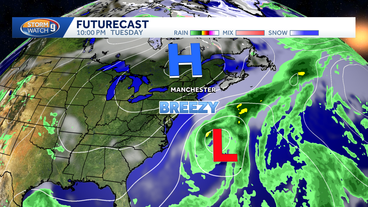 Nor'easter to stay offshore, no significant impacts expected in New Hampshire
A nor'easter is developing off the Carolina coast this week, but it will stay safely offshore as it slowly moves across the western Atlantic. The storm's biggest impacts are expected farther south, where gusty winds…
-
 ‘A Dry And Crisp Fall Week’ In New Hampshire, According To Weather Forecasters
GRAY, ME — Forecasters are calling for another good week of weather in New Hampshire. On Tuesday, expect partly sunny skies with a light wind and highs in the lower 60s. Overnight lows will be in the mid-30s. It will be…
-
 Maclane Westbrook - Mt. Washington, New Hampshire
KPVI There was a problem reporting this. Keep it Clean. Please avoid obscene, vulgar, lewd, racist or sexually-oriented language. Poll: Inflation tops voter concerns, national debt near the bottom 15 vintage dishes that…
-
 Weather Forecasters Warn New Hampshire Hikers: This Is Not The Weekend For Recreating In The Mountains
GRAY, ME — It will be mostly sunny but cold in central and southern New Hampshire this weekend, with weather forecasters warning of wintry conditions in the mountains. On Friday, expect showers for most of the day with…
-
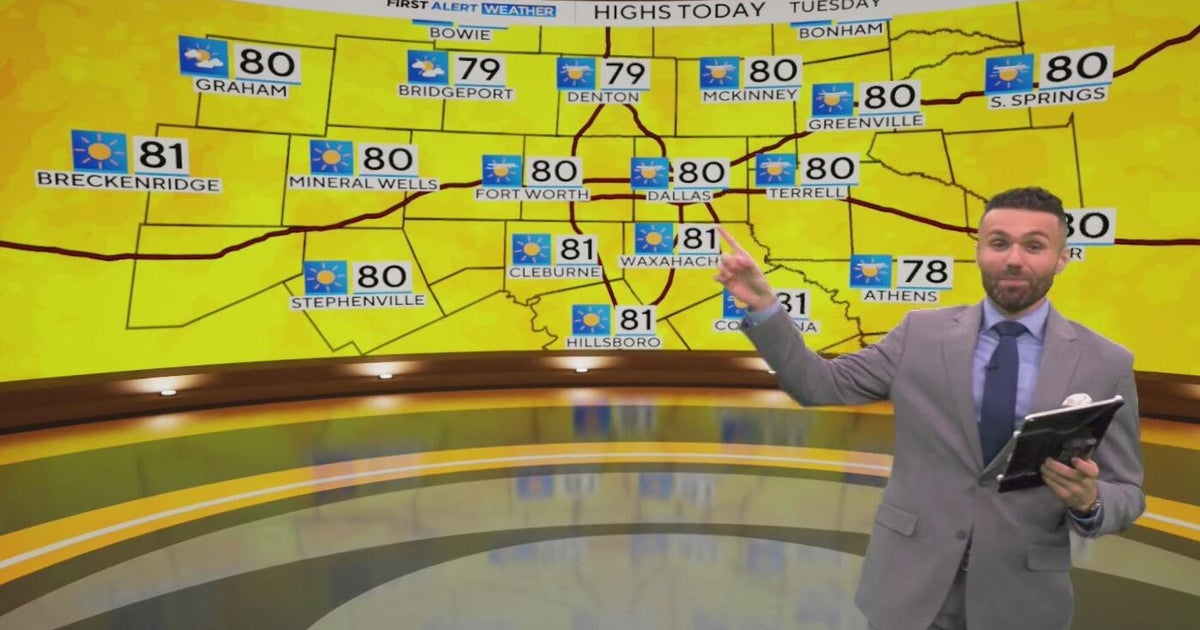 Great weather in North Texas this week
CBS News Baltimore 8am CBS News Boston 8am CBS News Chicago 7am CBS News Colorado This Morning 6am CBS News Los Angeles Mornings 5am CBS News Miami 8am CBS News New York 8am CBS News Texas 7am
-
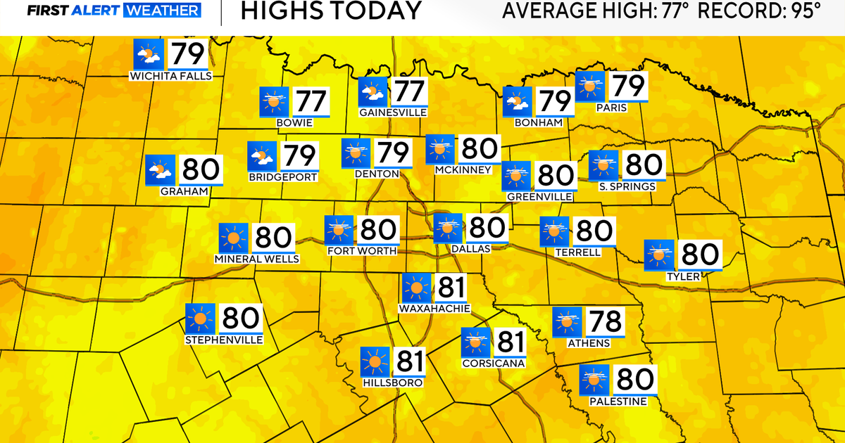 Temperatures climb into 80s as rain chances remain slim across North Texas
Updated on: October 20, 2026 / 7:28 AM CDT / CBS Texas It's another crisp fall morning, Tuesday, with temperatures in the 40s and 50s across North Texas. Have the light jacket handy and grab your sunglasses for the…
-
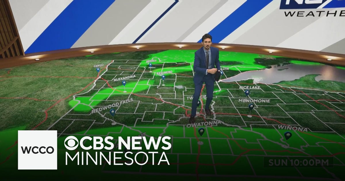 More sunny, mild late October weather in Minnesota | Oct. 20, 2026
CBS News Baltimore 8am CBS News Boston 8am CBS News Chicago 7am CBS News Colorado This Morning 6am CBS News Los Angeles Mornings 5am CBS News Miami 8am CBS News New York 8am CBS News Texas 7am
-
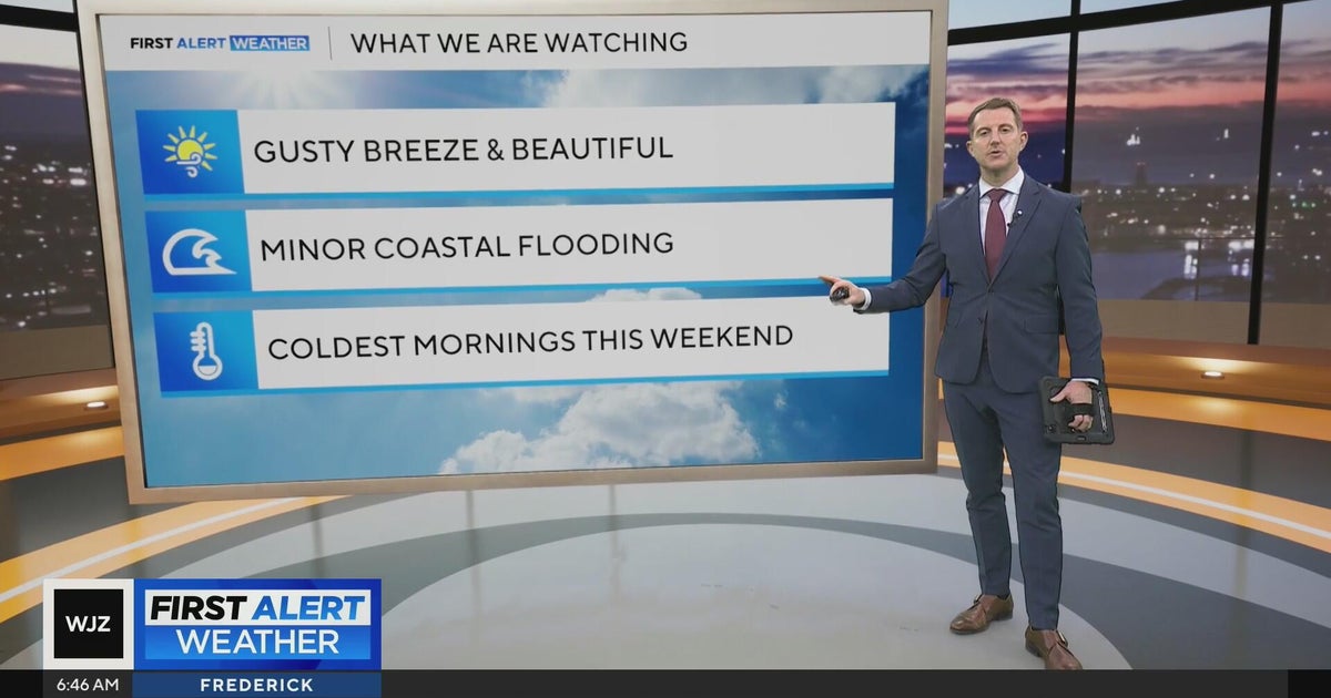 Beautiful stretch of weather in Maryland this week
CBS News Beautiful stretch of weather in Maryland this week Baltimore police investigate reported shooting along Belair Road Cool, nice, breezy weather continues in Maryland 1 killed in triple shooting near NW Baltimore…
-
 Storm Austen to bring severe gales to UK as weather warning issued
Storm Amy in October 2025 brought some damage and disruption as severe gales and heavy rain hit parts of the UK The first named storm of the autumn - Storm Austen - is set to batter parts of the UK with severe gales and…
-
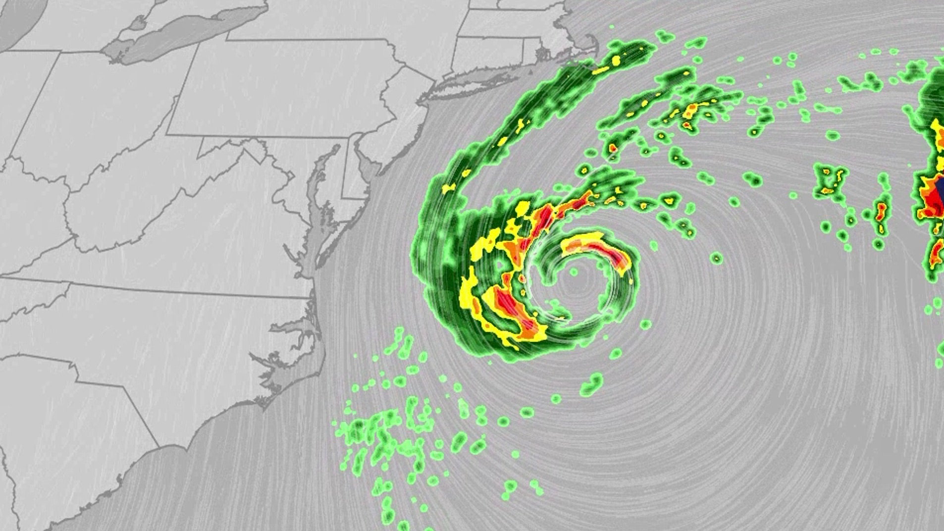 Nor'easter lashes coast from Carolinas to Northeast
An October nor'easter is meandering off the Atlantic coast, where it will bring high surf, rip currents, coastal flooding and winds to parts of the East Coast for several days this week. The National Hurricane Center…
Air quality
Air quality is satisfactory, and air pollution poses little or no risk.
Forecast
- TueGood
Coastal Rockingham County, NH reporting area · 41 min ago. Data from AirNow (EPA and its state, local and tribal partners); preliminary and subject to change.
Sun & moon
Almanac
MonthlyPortsmouth Pease Afb, records since 1956. Normals 1991–2020. Data from NOAA's Regional Climate Centers (ACIS).
Nearby
- Lowell 59 km
- Manchester 43 km
- Nashua 56 km
- Lawrence 46 km
- Haverhill 36 km
- Methuen 45 km
- Concord 51 km
- East Concord 52 km
- Beverly 58 km
- Beverly Cove 59 km
- Derry Village 37 km
- Dover 14 km
Forecasters' discussion
From the National Weather Service office in GYX, issued 7 hrs ago
What Has Changed
No significant changes to the forecast were needed.
Key Messages
1. High pressure remains in control for the rest of the week into the weekend with little to no precipitation on the horizon.
Discussion
KEY MESSAGE 1 DESCRIPTION...
Other than a bit of cirrus, skies are again mostly clear early this morning with light winds. Since conditions are similar to yesterday, valley fog will probably develop in some spots, which could be dense in some spots before clearing out by mid morning. Another area to watch for fog is roughly along and east of the I-95 corridor from Portland to Augusta as the HREF probs continue to have a fog signal. The rest of the day will be mostly sunny and mild with temperature ranging from the upper 50s to mid 60s. The pressure gradient will tighten a bit between the high pressure to our north and the nor'easter off of the Mid-Atlantic coast, so we could see N-NE winds gusting 20-25 mph, especially near the coast and parts of western ME.
High pressure builds right back overhead tonight with mostly clear skies once again. This will bring a good another good setup for radiational cooling and lows in the 20s to lower 30s for northern and western areas, which will be closer to the center of the higher. Farther south, there may be enough of a breeze to keep the boundary layer more mixed, so I haven't gone quite as cool, but still forecast lows are in the 30s.
Dry conditions continue into Wednesday and Thursday, but highs will be a toucher cooler and stay mostly in the 50s for Wednesday before rebounding into the upper 50s to lower 60s on Thursday.
Global models are in good agreement in an upper trough/low diving southward out of eastern Canada late Thursday into Friday, and this will keep the nor'easter well to our south and east, but possibly close enough for breezy conditions Thursday or Friday. The ECMWF and more of its ensemble members continue to advertise more moisture for the upper low to work with than other guidance, and this could bring some light QPF across northern and eastern areas with light snow in the mountains and rain to the south. We'll see if other guidance follows this trend.
More dry weather is in store for the weekend as Canadian high pressure builds back in, and if the center of the high ends up overhead, Friday night has the potential to be quite cold. A front may cross through early next week, but moisture looks very limited, and the majority of ensemble guidance favors dry conditions.
Aviation
Through 06Z Wednesday...Valley fog could bring IFR or lower to LEB/CON early this morning with some potential for fog/low stratus near AUG-PWM-RKD as well. This potential remains through mid morning with VFR the rest of today. Northerly winds will gust up to 20 kt during the day today before easing by 22Z.
Outlook Tonight: Mainly VFR, except valley fog possible at LEB. North winds may continue to gust 15kt near the coast.
Wednesday-Thursday: Mostly VFR. MVFR ceilings possible later in the day Thursday. Winds will be lighter Wednesday, and then north to northwest winds may gust 20-25 kt on Thursday.
Thursday night-Friday...Some light precipitation is possible in the HIE to AUG to RKD corridor but is currently low confidence on the degree of restrictions (if any).
Friday night-Saturday: VFR.
Forecasts, observations and alerts in the United States come from the National Weather Service (NOAA); radar from NOAA's Multi-Radar Multi-Sensor system; satellite imagery from NASA's Global Imagery Browse Services (GIBS) and NOAA's GOES satellites; the map from the U.S. Geological Survey's National Map; air quality from AirNow (EPA and its partners); hurricane information from the National Hurricane Center; climate normals and records from NOAA's Regional Climate Centers (ACIS). Forecasts outside the United States and the UV index: MET Norway (CC BY 4.0); observations outside the U.S.: airport reports via NOAA's Aviation Weather Center. Place names: GeoNames (CC BY 4.0). Data are copied on a schedule and may lag the sources; for warnings that affect your safety, follow your local National Weather Service office and emergency officials. Weather news is drawn from the 4Conservative index and reflects what the press published. Terms of use.