Install
Red Cloud, NE Weather
Current conditions
Forecast for this hour (no station report in the last two hours)
Forecast
10-day-
Today
A slight chance of rain showers after 4pm. Mostly sunny, with a high near 70. South southeast wind 5 to 15 mph, with gusts as high as 25 mph. Chance of precipitation is 20%.
-
Tonight
A slight chance of rain showers before 3am. Partly cloudy, with a low around 50. Southeast wind 5 to 10 mph. Chance of precipitation is 20%. New rainfall amounts less than a tenth of an inch possible.
-
Wednesday
Sunny, with a high near 73. South southeast wind around 5 mph.
National Weather Service forecast updated 11 hrs ago.
Hourly
Hourly forecast- Now69°15%
- 6 PM68°16%
- 7 PM65°16%
- 8 PM62°16%
- 9 PM58°17%
- 10 PM57°17%
- 11 PM55°17%
- Wed12 AM55°17%
- 1 AM54°17%
- 2 AM53°15%
- 3 AM52°14%
- 4 AM52°12%
- 5 AM51°
- 6 AM51°
- 7 AM50°
- 8 AM50°
- 9 AM53°
- 10 AM58°
- 11 AM63°
- 12 PM66°
- 1 PM69°
- 2 PM70°
- 3 PM72°
- 4 PM73°
10-day forecast
Details- TodayOct 20Mostly Sunny then Slight Chance Rain Showers17%50°70°
- WedOct 21Sunny50°73°
- ThuOct 22Sunny58°76°
- FriOct 23Mostly Sunny19%59°77°
- SatOct 24Rain Showers Likely57%49°70°
- SunOct 25Chance Rain Showers41%48°65°
- MonOct 26Chance Rain Showers31%44°63°
- TueOct 27Rain0.22 in43°45°
- WedOct 28Partly cloudy40°58°
- ThuOct 29Mostly sunny37°54°
Days after the National Weather Service's seven are MET Norway's outlook, a computer model with no forecaster's review.
Radar
Full mapWeather news in Nebraska
More weather news-
 Warming trend through the work week across Nebraska ends with more wind, fire danger
LINCOLN, Neb. (KOLN) - The pleasant pattern continues through the week. Highs will reach the mid 60s to low 70s Monday and Tuesday, with similar conditions Wednesday. By Thursday and Friday, temperatures will push into…
- Nebraska Winter Weather: First Snow Before Thanksgiving, Nov. 26?
Omaha, NE – Nebraska residents preparing for Thanksgiving travel have a historical snowfall date to watch this fall. Omaha typically records its first measurable snow nearly two weeks before the holiday, while freezing…
- First freeze of the season expected tonight for much of Nebraska
LINCOLN, Neb. (KOLN) - Grab your jackets and protect your plants. Nebraska is bracing for its coldest night of the season Friday into Saturday morning, with Freeze Warnings in place across most of the state as fall’s…
-
 First Hard Freeze and Frost Warnings Threaten Kansas and Southeast Nebraska
The Sunflower State Radio Network First Hard Freeze and Frost Warnings Threaten Kansas and Southeast Nebraska The first widespread autumn freeze is knocking on the door. The National Weather Service has issued a cascade…
-
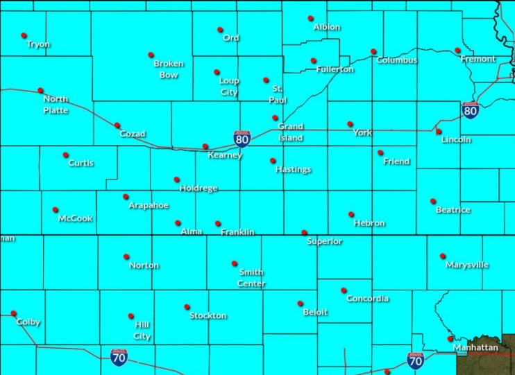 Freeze Watch in effect for central Nebraska for Saturday morning
A Freeze Watch has been issued for central Nebraska through the morning of Saturday, Oct. 17, (NWS Hastings, Courtesy) HASTINGS — A Freeze Watch has been issued for all of central Nebraska from the evening of Friday…
-
 First Freeze Possible Saturday Morning Across Eastern Nebraska
KLIN First Freeze Possible Saturday Morning Across Eastern Nebraska Eastern Nebraska is in for a sharp change in weather, with gusty winds, much colder temperatures and a possible first freeze Saturday morning. “A…
-
 Nebraska Braces for Rain, Strong Winds and First Frost
According to WOWT, Omaha had experienced four consecutive days with temperatures in the 90s before the sharp transition to fall weather. Wednesday's high was expected to reach only 60 degrees, with a 30% chance of…
-
 Showers and gusty winds before a sunny weekend in Greater Nebraska
knopnews2 Showers and gusty winds before a sunny weekend in Greater Nebraska Fall Weather Whiplash: Rain, Gusty Winds and a Sunny Rebound Midweek Showers Give Way to a Sunny, Warmer Weekend
-
 Dangerous Freeze Watch Warning Issued for Massive Area of Nebraska, Wyoming and Colorado
A Freeze Watch is in effect from late Thursday night through Friday morning for the Denver metro area, Colorado’s eastern plains, southeast and central Wyoming, and the Nebraska Panhandle, with lows in the 20s possible…
-
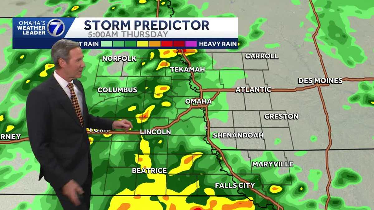 Rain coming later tonight Nebraska and Iowa
Rain coming later tonight for Nebraska and Iowa KETV Rain coming later tonight Nebraska and Iowa Still decent for outdoor activities this evening around Omaha. Rain is on the way later tonight and Thursday. Windy and…
Sun & moon
Nearby
Forecasters' discussion
From the National Weather Service office in GID, issued 11 hrs ago
Key Messages
- Highs in the upper 60s to low 70s today with scattered showers possible south/southeast of the Tri-Cities this afternoon-tonight.
- Seasonably warm weather expected through Friday with highs in the mid-upper 70s. Southerly winds gusting 30-45mph possible on Friday.
- More widespread rain chances (40-60%) arrive this weekend along with cooler weather. &&
.UPDATE... Issued at 305 AM CDT Tue Oct 20 2026
Skies are clear this morning with temperatures currently sitting in the 40s. Aloft the area is under southwesterly flow-ridging with a weak disturbance in this flow located over the Rockies. Seasonable- seasonably warm weather is expected today as highs climb into the upper 60s to low 70s. As the aforementioned upper level disturbance lifts into the Plains today, it brings scattered showers to the area this afternoon-tonight. Rain chances (15-25%) will be mainly south/southeast of the Tri-Cities with overall accumulations remaining fairly light (accumulations generally under 0.10"). Lows tonight will be in the 40s to low 50s. Any lingering rain comes to an end around sunrise on Wednesday. Pleasant weather continues on Wednesday as highs climb into the low-mid 70s with sunny skies and light winds. Temperatures rise further on Thursday, reaching the mid- upper 70s. Thursday will be breezy west of Highway 281, gusting 20- 30mph. Windy weather is expected on Friday ahead of an approaching trough with southerly winds gusting 30-45mph. More widespread/higher rain chances arrive Friday night-Saturday as the trough moves into the Plains and pushes a cold front into the area. While there remains spread on the evolution of the trough/front the overall highest chances (40-60%) for rain appear to be on Saturday. Cooler weather arrives behind the cold frontal passage, with highs returning to the 60s.
Discussion
Issued at 218 PM CDT Mon Oct 19 2026
An upper level trough is centered off the West Coast. An upper level disturbance/shortwave is over portions of north central Kansas and south central Nebraska. Increased lift from this shortwave has resulted in showers across mainly north central Kansas. These showers are decreasing in coverage and are expected to continue to decrease. Temperatures this afternoon across the area are expected to warm up into the mid 60s to lower 70s with southeast winds gusting up to around 20 to 25 MPH. Winds will weaken this evening and tonight with temperatures cooling into the 40s tonight into Tuesday morning.
An upper level shortwave trough will pass over/near the area on Tuesday. Rain chances (15% to around 25%) will increase Tuesday afternoon into Wednesday morning as a result of increased upper lift from the shortwave. Temperatures on Tuesday are expected to warm up into the mid 60s to low 70s. Overnight low temperatures Tuesday night will be in the 40s and 50s. The warm up continues into Wednesday with high temperatures in the 70s. Low temperatures Wednesday night/Thursday morning will be in the 50s areawide. Temperatures on Thursday will be similar or slightly warmer than those on Wednesday as an upper ridge becomes more centered over the area and winds increase out of the south. Winds will be even stronger out of the south on Friday (gusts possibly reaching 35 to 40 MPH in the afternoon) in advance of an approaching upper trough. High temperatures Friday are expected to be similar to those on Thursday. Low temperatures Friday night will be in the 50s and 60s.
The upper trough will begin to pass over the region on Saturday with a cold front moving into the area. This front will result in high temperatures mainly in the 60s across the area on Sunday. This front will also result in an increase in rain chances (up to 50% chance) beginning on Saturday.
Aviation
Issued at 626 AM CDT Tue Oct 20 2026
For KGRI/KEAR Airports:
VFR conditions favored through TAF period. Fog ongoing should remain northwest of KGRI/KEAR this morning, but the window of potential would be through 15z. Southerly winds increase this morning, with sustained winds of 10-15kts and gusts around 20kts this afternoon. Winds become light around sunset and lighter overnight. SCT high level clouds are possible this afternoon- tonight but rain should stay southeast of KGRI/KEAR. There could be another round of fog Wednesday morning, but confidence in occurrence/density is too low to mention in the TAF at this time.
Gid Watches
NE...None. KS...None.
Forecasts, observations and alerts in the United States come from the National Weather Service (NOAA); radar from NOAA's Multi-Radar Multi-Sensor system; satellite imagery from NASA's Global Imagery Browse Services (GIBS) and NOAA's GOES satellites; the map from the U.S. Geological Survey's National Map; air quality from AirNow (EPA and its partners); hurricane information from the National Hurricane Center; climate normals and records from NOAA's Regional Climate Centers (ACIS). Forecasts outside the United States and the UV index: MET Norway (CC BY 4.0); observations outside the U.S.: airport reports via NOAA's Aviation Weather Center. Place names: GeoNames (CC BY 4.0). Data are copied on a schedule and may lag the sources; for warnings that affect your safety, follow your local National Weather Service office and emergency officials. Weather news is drawn from the 4Conservative index and reflects what the press published. Terms of use.