Install
Gretna, NE Weather
Current conditions
Forecast for this hour (no station report in the last two hours)
Forecast
10-day-
Friday
Sunny, with a high near 77. South southeast wind 9 to 15 mph, with gusts as high as 26 mph.
-
Friday Night
Mostly cloudy, with a low around 62. South wind around 14 mph, with gusts as high as 28 mph.
-
Saturday
Partly sunny, with a high near 77. South wind 8 to 12 mph, with gusts as high as 23 mph.
National Weather Service forecast updated 1 day ago.
Hourly
Hourly forecast- Now70°
- 1 PM74°
- 2 PM75°
- 3 PM77°
- 4 PM77°
- 5 PM75°
- 6 PM73°
- 7 PM72°
- 8 PM71°
- 9 PM70°
- 10 PM68°
- 11 PM66°
- Sat12 AM65°
- 1 AM65°
- 2 AM65°
- 3 AM64°
- 4 AM64°
- 5 AM63°
- 6 AM62°
- 7 AM62°
- 8 AM63°
- 9 AM64°
- 10 AM66°
- 11 AM69°
10-day forecast
Details- TonightOct 21Mostly Clear54°
- ThuOct 22Sunny57°79°
- TodayOct 23Sunny62°77°
- SatOct 24Partly Sunny55°77°
- SunOct 25Mostly Cloudy47%52°71°
- MonOct 26Rain Showers Likely57%45°60°
- TueOct 27Slight Chance Rain Showers20%46°59°
- WedOct 28Slight Chance Rain Showers22%63°
- ThuOct 29Cloudy42°57°
- FriOct 30Partly cloudy38°57°
Days after the National Weather Service's seven are MET Norway's outlook, a computer model with no forecaster's review.
Radar
Full mapWeather news near Gretna
More weather news-
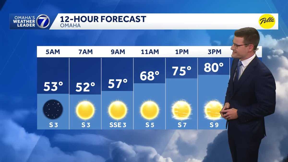 Warm, sunny stretch continues Thursday in Omaha area
Our warm and sunny stretch continues Thursday with highs around 80 degrees. Meteorologist Sean Everson has the latest forecast from Omaha's Weather Leader. With a combined 50 years covering weather in Nebraska and Iowa…
- Heat Today, Gust Tomorrow: Omaha’s Last Warm Hurrah
Omaha is getting one more summer-like afternoon before the weather takes a distinctly cooler, wetter turn. Thursday will reach the mid to upper 70s, with a few locations approaching 80, while rain chances build Sunday…
-
 The EARLY first look at the Halloween forecast in Omaha
WOWT The EARLY first look at the Halloween forecast in Omaha A slow pattern means the warm weather sticks around longer this weekend
-
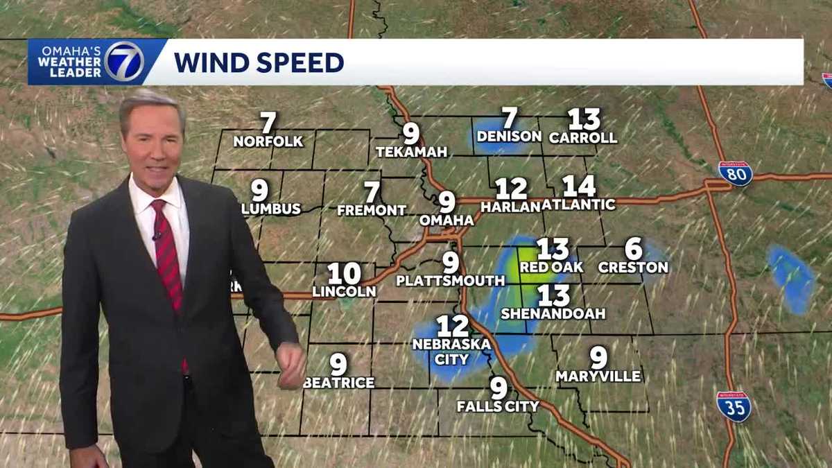 Maybe top ten weather now in Omaha
this evening KETV Maybe top ten weather now in Omaha 79 is the high in Omaha as of 4pm. If the winds hold around 10 mph early this evening, then today would be our seventh top ten day of the year!! Try to get outside…
-
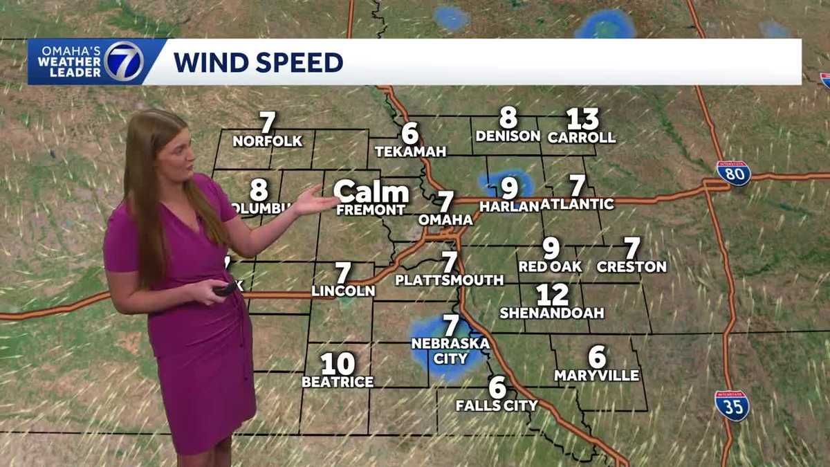 Another warm and sunny October day in Omaha
A beautiful day across the Omaha area Wednesday. Mostly clear skies continue tonight, yielding pretty decent stargazing conditions for the Orionids meteor shower! The warmer than average fall temperatures continue! More…
-
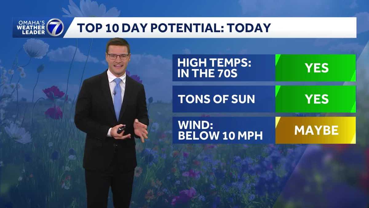 Potential for a Top 10 Day Wednesday in Omaha area
Potential for a Top 10 Day Wednesday with highs in the the mid to upper 70s. Meteorologist Sean Everson has the latest forecast from Omaha's Weather Leader. With a combined 50 years covering weather in Nebraska and…
-
 Bo's 10-Day Forecast 10.22.26
WOWT Bo's 10-Day Forecast 10.22.26 The EARLY first look at the Halloween forecast in Omaha
-
 More great days ahead around Omaha
with highs in the 70s Wednesday KETV More great days ahead around Omaha Spectacular weather in Omaha on Tuesday with a high of 73. Wednesday looks as nice or nicer with a high near 77 and a lighter south breeze. The…
-
 Rain continues to trend later this weekend in Omaha
WOWT Rain continues to trend later this weekend in Omaha A slow pattern means the warm weather sticks around longer this weekend Most rain stays south tonight, back to the 70s Wednesday
-
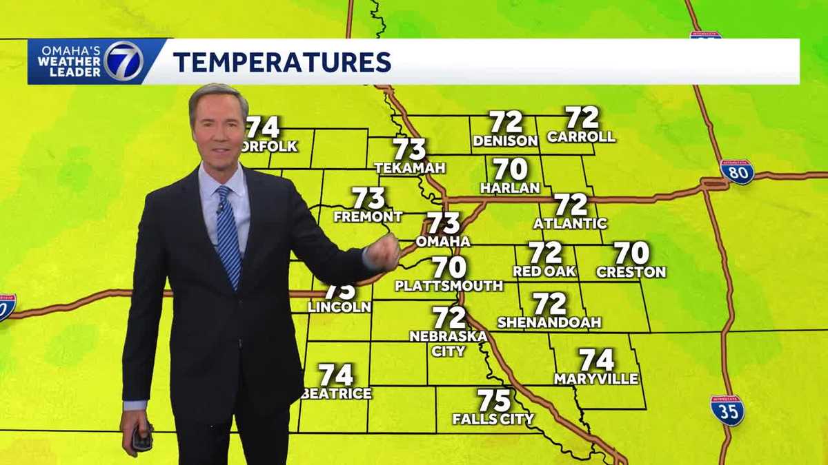 Spectacular this evening around Omaha
with temperatures in the low 70s KETV Spectacular this evening around Omaha Temperatures in the low 70s with some sunshine and a south breeze, spectacular this evening around Omaha. As nice or even nicer weather if that…
Air quality
Air quality is satisfactory, and air pollution poses little or no risk.
Forecast
- FriGood (50)
- SatGood (50)
- SunGood (39)
Omaha, NE reporting area · 2 hrs ago. Data from AirNow (EPA and its state, local and tribal partners); preliminary and subject to change.
Sun & moon
Almanac
MonthlyOmaha Eppley Airfield, records since 1935. Normals 1991–2020. Data from NOAA's Regional Climate Centers (ACIS).
Nearby
- Omaha 28 km
- Lincoln 52 km
- Council Bluffs 34 km
- Bellevue 29 km
- Fremont 39 km
- Papillion 17 km
- La Vista 18 km
- Chalco 9 km
- Elkhorn 23 km
- Blair 46 km
- Hillsborough 20 km
- Plattsmouth 33 km
Forecasters' discussion
From the National Weather Service office in OAX, issued 6 hrs ago
Key Messages
- Warm weather continues into the weekend across much of our area with highs in the mid 70s to low 80s.
- Winds gusting to around 40-45 mph on Friday will be a concern for some limited fire impacts in northeast Nebraska.
- Shower and storm chances increase this weekend into next week (60-80%). Expect a cooling trend from Sunday onward with highs reaching the 50s to low 60s by Tuesday.
Friday
The sfc pressure gradient remains tight and breezy southerly winds will hit their stride in the afternoon. Gusts of up to 45 mph are possible with max obs expected to be reported from areas northeast of Columbus/Norfolk.
High temps should rival those of Wednesday/Thursday, but there is some uncertainty with increased cloud cover, especially north of the Platte River.
That's the same location that will be flirting with RED FLAG WARNING criteria as the strong winds will be accompanied by RH values as low as 30% in northeast Nebraska. Thankfully, the driest air (25% RH) will be along the KS state line where wind speeds will peak closer to 25-30 mph. Deeper mixing would mean lower RH values and the necessitation of a RFW with autumn curing as far along as it is (35% chance). Those harvesting should be aware of the ease of fire development and spread.
A few showers (30%) may develop after 10pm in northeast/central Nebraska behind the stalled front as the LLJ develops again.
.SATURDAY...
As a sfc lee cyclone streaks northeast, the cold front should push into northeast Nebraska. High temperatures on Saturday will be dependent on how far south the cold front is able to push into the CWA. Max temps may differ by 20 degrees from CWA top to bottom with some locations (including OMA) managing close to 80F for a fourth consecutive day.
Aviation
Issued at 522 AM CDT Fri Oct 23 2026
VFR conditions persist through the forecast period at the terminals. A few lingering showers and isolated thunderstorms continue to move to the northeast, across portions of northeastern Nebraska and northwestern Iowa. KOFK may have a bit of LLWS this morning; however, it should taper off by 16/17Z. Expect breezy southerly winds to gust to around 15-25kts at KOFK and KOMA. LLWS will be possible overnight.
Oax Watches
NE...None. IA...None.
Forecasts, observations and alerts in the United States come from the National Weather Service (NOAA); radar from NOAA's Multi-Radar Multi-Sensor system; satellite imagery from NASA's Global Imagery Browse Services (GIBS) and NOAA's GOES satellites; the map from the U.S. Geological Survey's National Map; air quality from AirNow (EPA and its partners); hurricane information from the National Hurricane Center; climate normals and records from NOAA's Regional Climate Centers (ACIS). Forecasts outside the United States and the UV index: MET Norway (CC BY 4.0); observations outside the U.S.: airport reports via NOAA's Aviation Weather Center. Place names: GeoNames (CC BY 4.0). Data are copied on a schedule and may lag the sources; for warnings that affect your safety, follow your local National Weather Service office and emergency officials. Weather news is drawn from the 4Conservative index and reflects what the press published. Terms of use.