Install
Oxford, NC Weather
Current conditions
Forecast for this hour (no station report in the last two hours)
Forecast
10-day-
Today
Sunny, with a high near 72. North wind 9 to 13 mph, with gusts as high as 22 mph.
-
Tonight
Clear, with a low around 47. North wind 3 to 7 mph.
-
Wednesday
Sunny, with a high near 68. North wind 6 to 9 mph.
National Weather Service forecast updated 9 hrs ago.
Hourly
Hourly forecast- Now71°
- 5 PM70°
- 6 PM68°
- 7 PM63°
- 8 PM59°
- 9 PM57°
- 10 PM56°
- 11 PM55°
- Wed12 AM54°
- 1 AM53°
- 2 AM52°
- 3 AM51°
- 4 AM50°
- 5 AM50°
- 6 AM49°
- 7 AM48°
- 8 AM48°
- 9 AM52°
- 10 AM56°
- 11 AM60°
- 12 PM63°
- 1 PM64°
- 2 PM66°
- 3 PM67°
10-day forecast
Details- TodayOct 20Sunny47°72°
- WedOct 21Sunny40°68°
- ThuOct 22Sunny47°71°
- FriOct 23Sunny41°66°
- SatOct 24Sunny41°63°
- SunOct 25Sunny42°68°
- MonOct 26Sunny49°73°
- TueOct 27Partly cloudy46°74°
- WedOct 28Cloudy51°70°
- ThuOct 29Cloudy54°73°
Days after the National Weather Service's seven are MET Norway's outlook, a computer model with no forecaster's review.
Radar
Full mapWeather news near Oxford
More weather news- UPDATE: Frost advisory previously issued for Surry and Wilkes counties will expire at 9 a.m.
Durham Herald Sun The creation of this content included the use of AI based on templates created, reviewed and edited by journalists in the newsroom. Read more on our AI policy here. The advisory had been issued for…
- UPDATE: Freeze warning for NC High Country predicted to expire at 9 a.m.
Durham Herald Sun The creation of this content included the use of AI based on templates created, reviewed and edited by journalists in the newsroom. Read more on our AI policy here. The warning was active for Ashe…
-
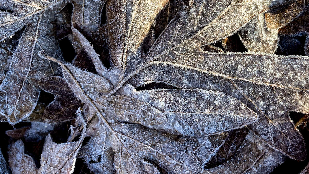 Rapid temperature swings could bring the Triangle an earlier-than-usual frost
More than a dozen tornados. A smashed record-high temperature. A nearly 50-degree temperature swing. And, possibly, our first frost of the season. Welcome to a week of weather in North Carolina. Parts of central North…
-
 14 tornadoes touched down in North Carolina amid storms from Isaias
(WLOS) — More than a dozen confirmed tornadoes touched down in North Carolina over the weekend from the remnants of Isaias. This was from the latest report on Isaias from Weather.gov. Between Saturday, Oct. 10, and…
- Raleigh Hits 91 Before Fierce Friday Night Cold Front
The National Weather Service calls for sunshine and a high of 91 Wednesday, with no rain in the forecast. That would beat Raleigh’s October 14 record high of 86 degrees set in 1985. Raleigh’s October 15 record is 88…
-
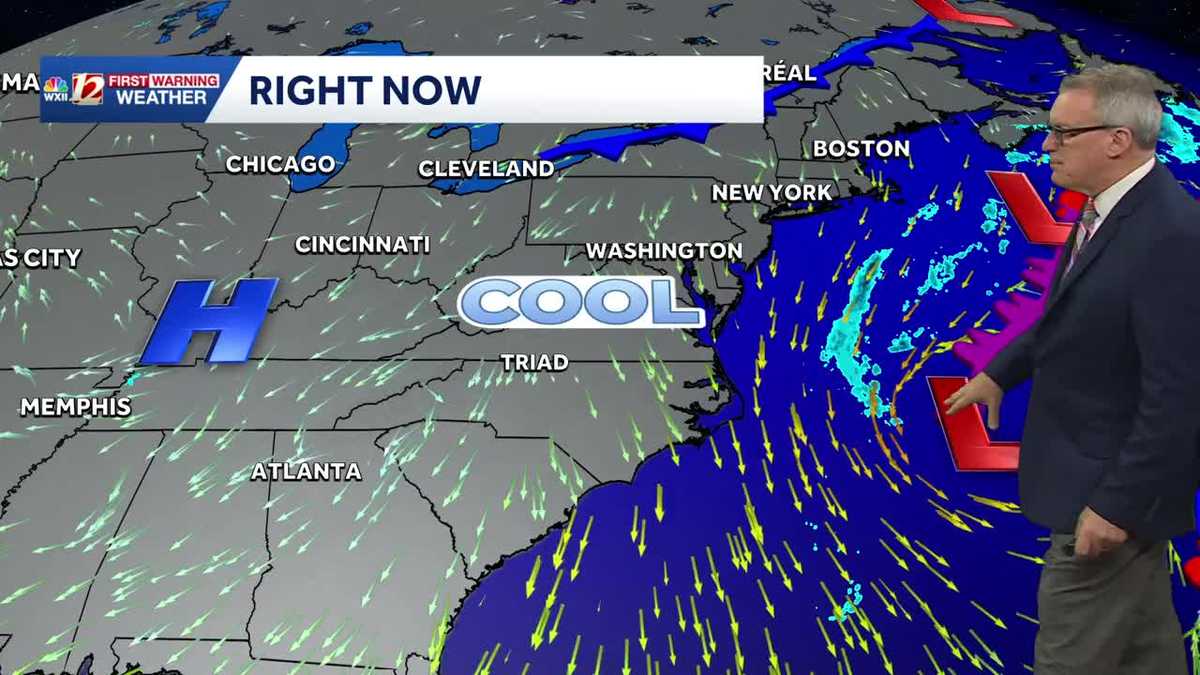 Sunny and seasonably cool weather across North Carolina this week
WXII Cold mornings will lead to seasonable, sunny afternoons in North Carolina this week Dress for 30s and 40s in the mornings Sunny weather will warm temperatures into the 60s and 70s in the afternoons Dry weather will…
-
-
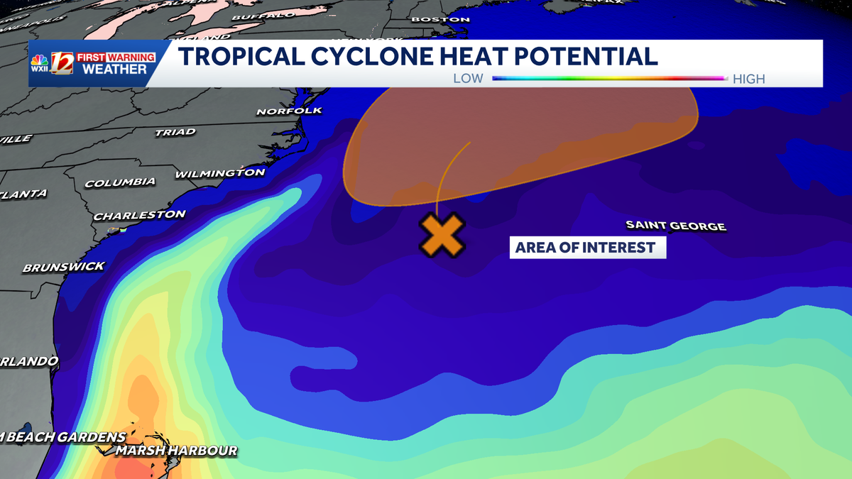
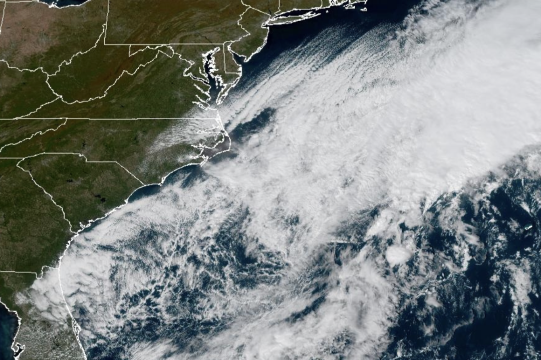 Weather System Off North Carolina Could Become Nor’Easter or Tropical Storm: What to Know
The National Weather Service and its National Hurricane Center are tracking a storm system sitting off the coast of North Carolina that has the opportunity to become either a proper Nor’easter or a Tropical Storm and is…
-
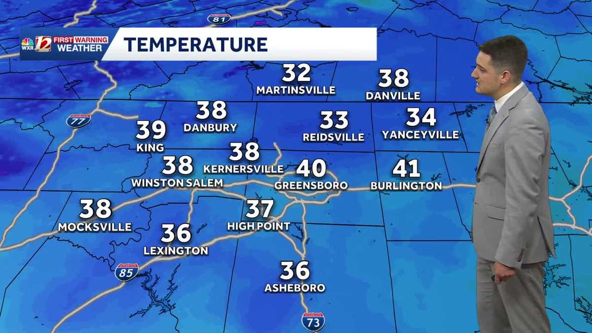 Cold Sunday morning in North Carolina, beautiful fall weather this week
WXII Cold Sunday morning in North Carolina, beautiful fall weather this week Meteorologist Dylan Hudler has your Sunday forecast Brrrr! Cold fall air is here! Sunday morning is the first time in the 30s for many…
-
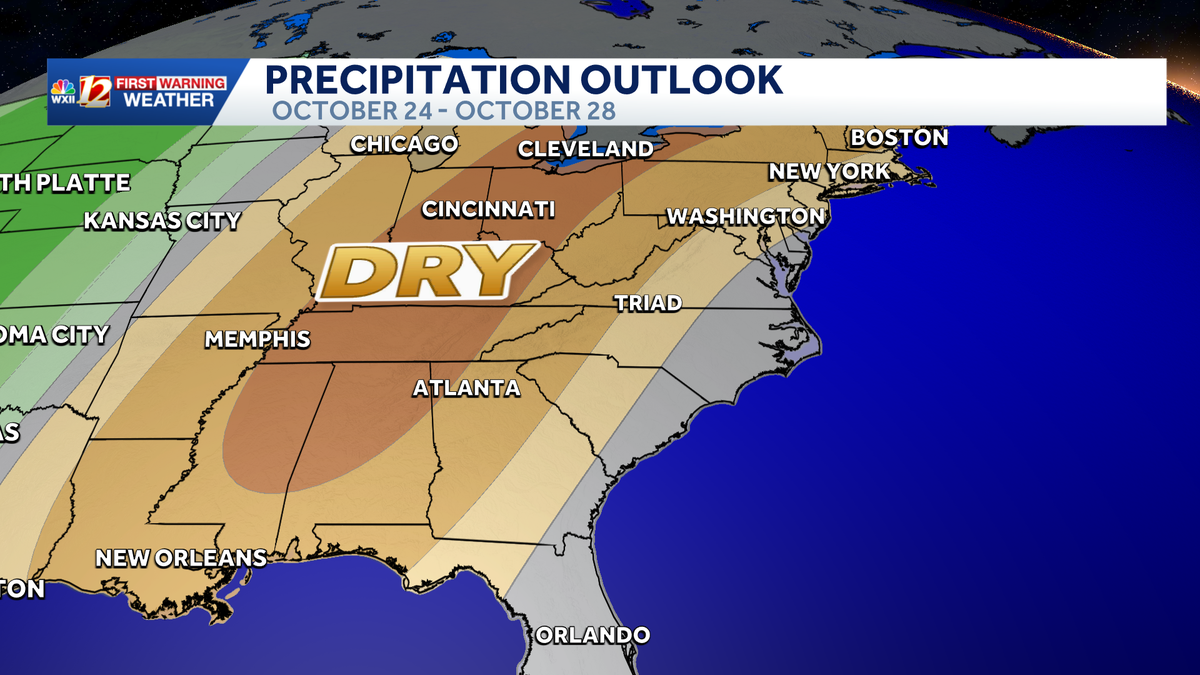 Seasonable highs ahead for the workweek in North Carolina | Cold mornings, tracking a coastal low
A dry pattern is developing for the coming workweek. Mostly sunny days will become seasonable through midweek, with highs in the 70s. A powerful cold front brought in a much colder air mass this weekend, but after two…
Air quality
Air quality is satisfactory, and air pollution poses little or no risk.
Forecast
- TueGood (40)
- WedGood (40)
- ThuGood (40)
Granville County, NC reporting area · 1 hr ago. Data from AirNow (EPA and its state, local and tribal partners); preliminary and subject to change.
Sun & moon
Almanac
MonthlyHenderson 2 Nnw, records since 1893. Normals 1991–2020. Data from NOAA's Regional Climate Centers (ACIS).
Nearby
- Durham 45 km
- Wake Forest 38 km
- Morrisville 58 km
- Henderson 17 km
- Knightdale 59 km
- Roxboro 36 km
- South Boston 51 km
- Butner 25 km
- Hillsborough 53 km
- Rolesville 45 km
- Zebulon 60 km
- Creedmoor 23 km
Forecasters' discussion
From the National Weather Service office in RAH, issued 9 hrs ago
What Has Changed
* Models advertise a large and sprawling surface high that will build into our region from the north late week. Dry weather is anticipated through next Tuesday. This high pressure will bring additional cool air to our region by late week into the weekend.
Key Messages
As of 230 AM Tuesday...
1) Seasonable and dry fall weather will persist across central NC into Thursday. Then much cooler weather again by late week through the weekend, with dryness likely well into next week.
Discussion
As of 230 AM Tuesday...
KEY MESSAGE 1... Seasonable and dry fall weather will persist across central NC into Thursday. Then much cooler weather again by late week through the weekend, with dryness likely well into next week.
The combined circulation of surface high pressure over eastern Canada and an area of low pressure that will linger off the mid- Atlantic coast through mid-week will result in a dry northerly flow for much of the week. Another area of high pressure will build into eastern Canada and New England toward the weekend reinforcing the dry northerly flow across central NC.
This weather pattern will support a dry forecast through the weekend with temperatures ranging close to average for this time of year through Thursday. Highs generally 68-74. Low in the mid 40s to around 50.
Then, forecast guidance is in close agreement with temperatures cooling down with highs in the upper 50s to lower 60s by Saturday. There may be risk of patchy frost by Saturday and Sunday, especially north and west of the Triangle.
Aviation
As of 645 AM Tuesday...
Canadian high pressure will extend across the ern US and maintain VFR conditions and nely surface winds in cntl NC through the 06Z TAF period and beyond for at least the next several days. Those nely surface winds will probably become gusty again with daytime heating around 14-15Z Tue mainly at ern sites, where the MSL pressure gradient will be strongest between the Canadian high and coastal low pressure off the NC coast. A risk of marginal low-level wind shear will also exist tonight-Tue morning, mainly at RWI and possibly KRDU, where a nely low-level jet will be maximized around 35-40 kts.
Forecasts, observations and alerts in the United States come from the National Weather Service (NOAA); radar from NOAA's Multi-Radar Multi-Sensor system; satellite imagery from NASA's Global Imagery Browse Services (GIBS) and NOAA's GOES satellites; the map from the U.S. Geological Survey's National Map; air quality from AirNow (EPA and its partners); hurricane information from the National Hurricane Center; climate normals and records from NOAA's Regional Climate Centers (ACIS). Forecasts outside the United States and the UV index: MET Norway (CC BY 4.0); observations outside the U.S.: airport reports via NOAA's Aviation Weather Center. Place names: GeoNames (CC BY 4.0). Data are copied on a schedule and may lag the sources; for warnings that affect your safety, follow your local National Weather Service office and emergency officials. Weather news is drawn from the 4Conservative index and reflects what the press published. Terms of use.