Install
Lake Norman of Catawba, NC Weather
Current conditions
Observed at Lincolnton, Lincolnton-Lincoln County Regional Airport · 1 hr ago
Forecast
10-day-
Tuesday
Sunny, with a high near 73.
-
Tuesday Night
Partly cloudy, with a low around 47.
-
Wednesday
Mostly sunny, with a high near 70.
National Weather Service forecast updated 4 days ago.
Hourly
Hourly forecast- Now56°
- 11 AM63°
- 12 PM67°
- 1 PM70°
- 2 PM72°
- 3 PM73°
- 4 PM73°
- 5 PM72°
- 6 PM69°
- 7 PM65°
- 8 PM61°
- 9 PM58°
- 10 PM55°
- 11 PM53°
- Wed12 AM52°
- 1 AM51°
- 2 AM50°
- 3 AM49°
- 4 AM48°
- 5 AM48°
- 6 AM47°
- 7 AM47°
- 8 AM48°
- 9 AM51°
10-day forecast
Details- TonightOct 22Clear42°
- FriOct 23Sunny46°68°
- SatOct 24Sunny42°65°
- SunOct 25Sunny43°67°
- MonOct 26Sunny43°70°
- TodayOct 27Sunny47°73°
- WedOct 28Mostly Sunny47°70°
- ThuOct 29Mostly Sunny71°
- FriOct 30Mostly sunny53°73°
- SatOct 31Sunny55°74°
Days after the National Weather Service's seven are MET Norway's outlook, a computer model with no forecaster's review.
Radar
Full mapWeather news in North Carolina
More weather news-
 Nice fall North Carolina weather continues this week | Daylight saving time ends this weekend
Our stretch of beautiful fall weather continues this week. More sunshine Tuesday, but heavier clouds return by Wednesday. North Carolina weather is expected to remain dry through at least Halloween. Temperatures will…
-
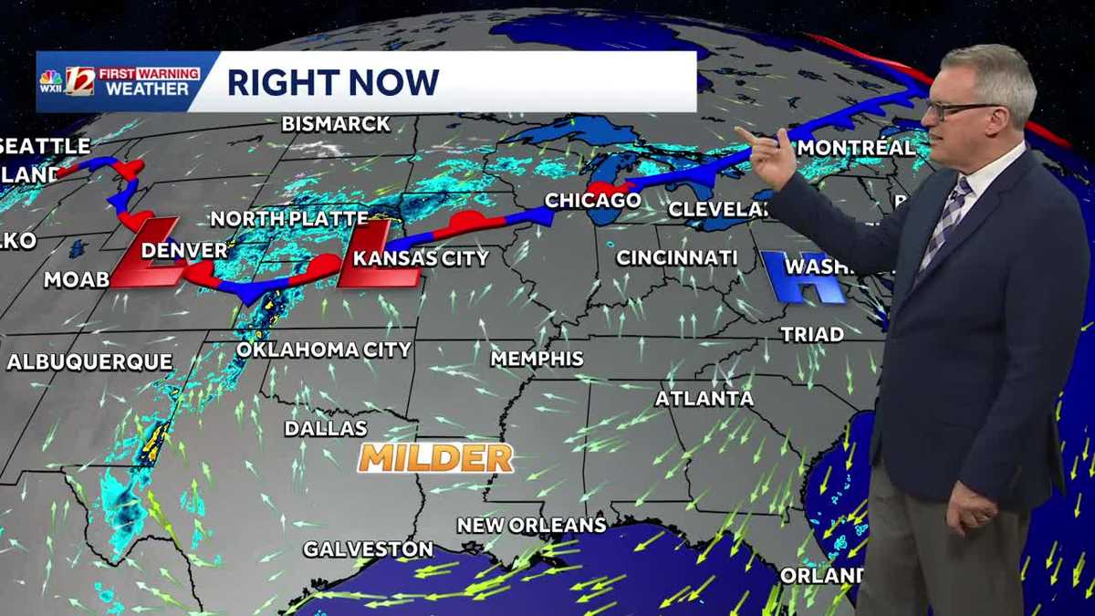 Milder fall temperature trend in North Carolina this week | Daylight saving time ends this weekend
North Carolina temperatures will turn warmer this week. Persistent dry weather is expected to continue until next week. Daylight saving time ends Sunday. Our stretch of beautiful fall weather will continue this week…
-
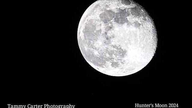 Meteor showers and what to look for in the night sky over North Carolina | Chilly fall mornings
The full hunter's moon will be bright this week. Grab a jacket for stargazing outdoors. If you're stargazing this week, bring extra layers for the chilly 40s when the sun goes down and the stars come out. The full moon…
-
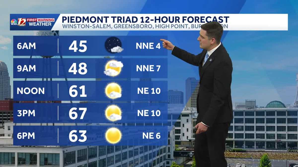 Quiet and dry weather continues in North Carolina this week
Meteorologist Dylan Hudler has your Sunday forecast Quiet and dry weather continues in North Carolina this week Meteorologist Dylan Hudler has your Sunday forecast Our sunny and dry stretch of fall weather will continue…
-
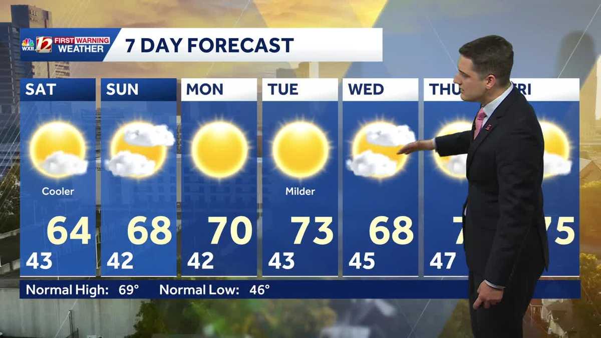 Slightly cooler fall weather this weekend, sunny and dry stretch continues in North Carolina
Meteorologist Dylan Hudler has your Saturday forecast Slightly cooler fall weather this weekend, sunny and dry stretch continues in North Carolina Meteorologist Dylan Hudler has your Saturday forecast This weekend is a…
- A comfortable last day of the NC State Fair, dry streak persists
It's a chilly start Sunday, then the afternoon will be pleasant! We've had really great weather for the state fair. We only had one day with rain. The final day of the fair will bring mostly clear to partly cloudy skies…
-
 FORECAST: Dry, comfortable temperatures for the Panthers Game
WSOC TV FORECAST: Dry, comfortable temperatures for the Panthers Game CHARLOTTE â ABOVE: The latest forecast update from Severe Weather Center 9. To stay on top of changing weather conditions, be sure to download our…
-
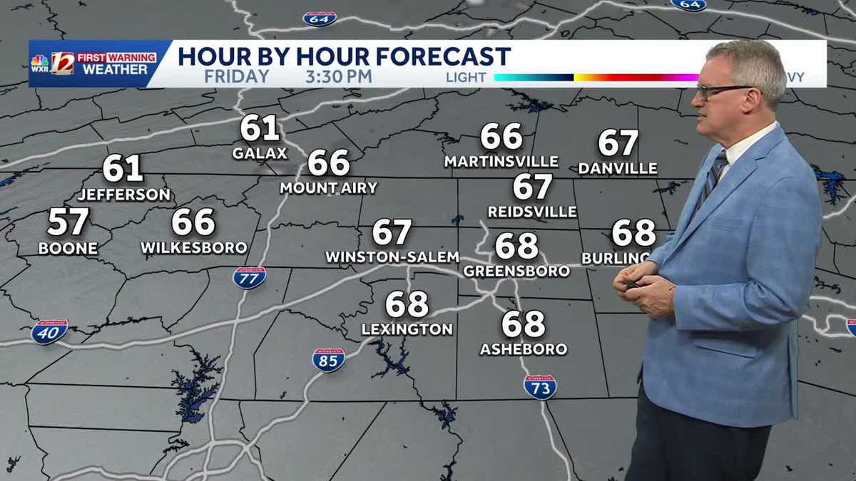 North Carolina temperatures dip a bit this weekend and it's dry, dry, dry...
Chilly North Carolina mornings will be followed by cool afternoon sunshine this weekend It's layering weather! You'll need a jacket early in the morning to combat the chill It will feel more pleasant by late morning…
-
 Surf City road maintenance project to bring lane closures through Oct. 30
SURF CITY, NC (WWAY) — Drivers in Surf City should expect intermittent lane closures as a road maintenance project gets underway Friday, Oct. 23. The Town of Surf City, in partnership with the North Carolina Department…
- Hurricane Vance strengthens to a Category 2 storm as it nears Mexico's Pacific Coast
Vance had maximum sustained winds of 105 mph (170 kph) as it churned about 425 miles (685 kilometers) south-southwest of Acapulco, according to an advisory from the Miami-based hurricane center. It could become a major…
Air quality
Forecast
- TueGood (42)
- WedGood (48)
- ThuGood (50)
Iredell County, NC reporting area. Data from AirNow (EPA and its state, local and tribal partners); preliminary and subject to change.
Sun & moon
Almanac
MonthlyStatesville 2 Nne, records since 1901. Normals 1991–2020. Data from NOAA's Regional Climate Centers (ACIS).
Nearby
- Charlotte 41 km
- Concord 40 km
- Gastonia 42 km
- Huntersville 22 km
- Kannapolis 33 km
- Hickory 38 km
- Mooresville 14 km
- Salisbury 45 km
- Matthews 56 km
- Cornelius 14 km
- Statesville 23 km
- Mint Hill 53 km
Forecasters' discussion
From the National Weather Service office in GSP, issued 3 hrs ago
What Has Changed
Updated aviation discussion for 12z TAFs.
Key Messages
1. Dry conditions will persist over our region through at least Friday with temperatures warming above normal. Rain chances increase this weekend.
Discussion
Key message 1: Dry conditions will persist over our region through at least Friday with temperatures warming above normal. Rain chances increase this weekend.
Dry weather should continue thru the work week as upper ridging remains over the Southeast. At the surface, broad high pressure continues to linger over most of the eastern CONUS as profiles remain dry and temperatures continue their gradual warming trend. Another cP airmass will settle over the Northeast today/tonight, reinforcing the low-level dry air and bringing marginally cooler temperatures for Wed. Nonetheless, temperatures are expected to climb back above normal on Thurs and Friday as the high shifts eastward and off the Atlantic Coast.
Another reinforcing/back-door cold front is expected to arrive early Saturday and re-establish some amount of cold-air damming across the western Carolinas. At the same time, multiple embedded upper shortwaves will approach our area from the west along with a broad area of deeper moisture. This pattern should allow for an increase in low-level isentropic ascent across our area and produce some widespread showers, most likely on Sunday. At this time, the majority of the long-range guidance suggests that most of our CWA will receive less than an inch of rain over the weekend.
Aviation
At KCLT and elsewhere: Primarily VFR. Mountain valley fog still may affect KAVL and kept IFR in TEMPO there for the first hour. Some fog over lakes near KCLT, KHKY, KAND but winds unfavorable for directing fog toward those sites. Beyond this morning, should be a quiet period with light mainly N to NE winds except for a period of SE winds at KAVL. Easterly flow may result in low stratus approaching KCLT from the east at or after daybreak Wed, or forming along the terrain northeast of KAVL, but those developments are too unlikely to mention at this range. Cannot however rule out more valley fog tonight.
Outlook: Mostly VFR conditions through the work week. Mountain valley fog and low stratus possible each morning. Restrictions may return for the weekend.
Forecasts, observations and alerts in the United States come from the National Weather Service (NOAA); radar from NOAA's Multi-Radar Multi-Sensor system; satellite imagery from NASA's Global Imagery Browse Services (GIBS) and NOAA's GOES satellites; the map from the U.S. Geological Survey's National Map; air quality from AirNow (EPA and its partners); hurricane information from the National Hurricane Center; climate normals and records from NOAA's Regional Climate Centers (ACIS). Forecasts outside the United States and the UV index: MET Norway (CC BY 4.0); observations outside the U.S.: airport reports via NOAA's Aviation Weather Center. Place names: GeoNames (CC BY 4.0). Data are copied on a schedule and may lag the sources; for warnings that affect your safety, follow your local National Weather Service office and emergency officials. Weather news is drawn from the 4Conservative index and reflects what the press published. Terms of use. How to use Weather