Install
Wibaux, MT Weather
Current conditions
Forecast for this hour (no station report in the last two hours)
Forecast
10-day-
Today
Sunny, with a high near 67. Northwest wind 3 to 8 mph.
-
Tonight
Mostly clear, with a low around 34. Northeast wind 3 to 8 mph.
-
Wednesday
Sunny, with a high near 66. Southeast wind 3 to 14 mph, with gusts as high as 23 mph.
National Weather Service forecast updated 8 hrs ago.
Hourly
Hourly forecast- Now65°
- 2 PM66°
- 3 PM67°
- 4 PM65°
- 5 PM64°
- 6 PM59°
- 7 PM52°
- 8 PM49°
- 9 PM47°
- 10 PM45°
- 11 PM44°
- Wed12 AM43°
- 1 AM41°
- 2 AM40°
- 3 AM39°
- 4 AM37°
- 5 AM36°
- 6 AM36°
- 7 AM35°
- 8 AM38°
- 9 AM42°
- 10 AM50°
- 11 AM54°
- 12 PM59°
10-day forecast
Details- TodayOct 20Sunny34°67°
- WedOct 21Sunny46°66°
- ThuOct 22Sunny51°76°
- FriOct 23Partly Sunny50%35°75°
- SatOct 24Partly Sunny12%28°49°
- SunOct 25Sunny28°50°
- MonOct 26Mostly Sunny10%29°49°
- TueOct 27Sunny33°53°
- WedOct 28Sunny27°44°
- ThuOct 29Sunny24°40°
Days after the National Weather Service's seven are MET Norway's outlook, a computer model with no forecaster's review.
Radar
Full mapWeather news in Montana
More weather news-
 Warming trend brings highs back into the 70s in some of Montana
Nonstop Local News Montana El Niño winter conditions ahead include drier and warmer than normal outlooks for Montana This pattern can bring dry, warm weather to the north and stormy, wet, cool weather to the southern…
-
 Gusty winds expected on Saturday in western Montana
KPAX News Gusty winds expected on Saturday in western Montana A mid-level jet streak will move over northern Montana on Saturday. This will bring stornger winds back to the area, with 30-40 MPH maximum gusts possible…
-
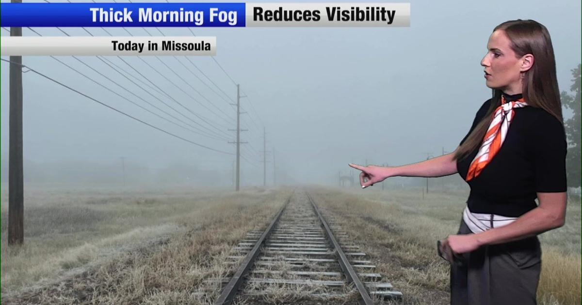 Wind and temperatures on the rise for the weekend in Montana
Nonstop Local News Montana Today, we saw dense fog in western valleys this morning This yielded to widespread sunshine in the afternoon across the region Highs reached the 50s in most major areas, which is normal for…
-
 [VIDEOS] Skiers Score Early-Season Powder in Montana After October Storm
Montana skiers didn’t wait for the chairlifts. On Monday, October 12, skiers and riders hiked for fresh turns at Showdown and Bridger Bowl after a weekend Montana snowstorm buried parts of the state. Nearby SNOTEL sites…
-
 Snow cover across parts of Montana
5-minute CONUS Sector GOES-19 (GOES-East) Day Snow-Fog RGB images (above) displayed the signature of snow cover (shades of red) across parts of Montana on 13 October 2026. This was remnant snow cover that fell 2 days…
Air quality
Air quality is satisfactory, and air pollution poses little or no risk.
Theodore Roosevelt National Park, ND reporting area · 1 hr ago. Data from AirNow (EPA and its state, local and tribal partners); preliminary and subject to change.
Sun & moon
Nearby
- Glendive 42 km
Forecasters' discussion
From the National Weather Service office in GGW, issued 14 hrs ago
Key Messages
- Dry weather conditions will continue along with seasonable temperatures through the midweek.
- Precipitation chances look to increase late Thursday night into Friday.
- Cooler and drier weather expected for the weekend.
Discussion
Gusty southeast winds that had preceded the approaching upper ridge have diminished across the area allowing the Lake Wind Advisory that had been in effect across Fort Peck Lake to expire on time. Next, attention focuses on seasonably warm and dry weather as the ridge translates east through the midweek across NE Montana. High temperatures will peak on Thursday as the ridge axis begins to push downstream of the CWA.
Meanwhile, a deepening upper level trough will send southerly upper level flow across the region as a surface cold front slides through Thursday night and Friday. As Pacific moisture advances ahead of this trough, rain chances will increase behind the front Thursday night into Friday before shifting east by Saturday morning. Current ensemble means depict a quarter to a half of an inch over the CWA with lesser amounts toward Wibaux.
Look for drier albeit far cooler weather conditions for the weekend behind the departing system.
FORECAST CONFIDENCE & DEVIATIONS:
NBM held the line this forecast cycle capturing large scale trends in the short to medium term efficiently given the benign weather expected with the upper level ridge. Confidence continues to increase on precipitation chances by Friday, though details on precipitation timing and placement as well as specific amounts will come into focus as the event heads into the short term and is better resolved by high resolution models.
Aviation
LAST UPDATED: Tuesday October 20, 2026 at 0400Z.
FLIGHT CAT RANGE: VFR.
DISCUSSION: Upper ridging will guide seasonably mild and dry conditions through the midweek.
WIND: Light and variable winds will become north to northeast at 5 to 9 kts after 18Z Tuesday.
LLWS: Low level wind shear is possible Tuesday morning near KSDY and KGDV but should diminish during the afternoon.
Ggw Watches
None.
Forecasts, observations and alerts in the United States come from the National Weather Service (NOAA); radar from NOAA's Multi-Radar Multi-Sensor system; satellite imagery from NASA's Global Imagery Browse Services (GIBS) and NOAA's GOES satellites; the map from the U.S. Geological Survey's National Map; air quality from AirNow (EPA and its partners); hurricane information from the National Hurricane Center; climate normals and records from NOAA's Regional Climate Centers (ACIS). Forecasts outside the United States and the UV index: MET Norway (CC BY 4.0); observations outside the U.S.: airport reports via NOAA's Aviation Weather Center. Place names: GeoNames (CC BY 4.0). Data are copied on a schedule and may lag the sources; for warnings that affect your safety, follow your local National Weather Service office and emergency officials. Weather news is drawn from the 4Conservative index and reflects what the press published. Terms of use.