Install
Townsend, MT Weather
Current conditions
Forecast for this hour (no station report in the last two hours)
Forecast
10-day-
Tonight
Mostly clear, with a low around 39. North northeast wind around 3 mph.
-
Wednesday
Mostly sunny, with a high near 67. South southeast wind 5 to 10 mph, with gusts as high as 18 mph.
-
Wednesday Night
Mostly clear, with a low around 43. South wind around 6 mph.
National Weather Service forecast updated 19 hrs ago.
Hourly
Hourly forecast- Now47°
- Wed12 AM46°
- 1 AM46°
- 2 AM45°
- 3 AM44°
- 4 AM43°
- 5 AM41°
- 6 AM41°
- 7 AM41°
- 8 AM40°
- 9 AM43°
- 10 AM49°
- 11 AM54°
- 12 PM58°
- 1 PM62°
- 2 PM65°
- 3 PM66°
- 4 PM67°
- 5 PM66°
- 6 PM64°
- 7 PM60°
- 8 PM56°
- 9 PM53°
- 10 PM51°
10-day forecast
Details- TodayOct 20Sunny39°64°
- WedOct 21Mostly Sunny43°67°
- ThuOct 22Sunny70%44°69°
- FriOct 23Rain then Showers And Thunderstorms98%31°53°
- SatOct 24Mostly Sunny31°50°
- SunOct 25Mostly Sunny18%30°51°
- MonOct 26Slight Chance Light Snow then Mostly Sunny18%31°51°
- TueOct 27Sunny32°49°
- WedOct 28Partly cloudy29°48°
- ThuOct 29Cloudy31°46°
Days after the National Weather Service's seven are MET Norway's outlook, a computer model with no forecaster's review.
Radar
Full mapWeather news in Montana
More weather news-
 Abnormally warm air settles into Montana before big cooldown this weekend
Montana is enjoying some unseasonably warm weather this week, with highs reaching the 60s and 70s across much of the state, but a cooldown is on the way. A trough of low pressure moves in Thursday night, bringing heavy…
-
 A mild weather pattern holds across Montana, with changes set to arrive by end of week
Nonstop Local News Montana MONTANA -Ã Continuing through Thursday, much of the state will enjoy partly to mostly sunny skies, with a few light rain showers possible in the afternoon/evening, in areas of high elevation…
-
 Warming trend brings highs back into the 70s in some of Montana
Nonstop Local News Montana El Niño winter conditions ahead include drier and warmer than normal outlooks for Montana This pattern can bring dry, warm weather to the north and stormy, wet, cool weather to the southern…
-
 Gusty winds expected on Saturday in western Montana
KPAX News Gusty winds expected on Saturday in western Montana A mid-level jet streak will move over northern Montana on Saturday. This will bring stornger winds back to the area, with 30-40 MPH maximum gusts possible…
-
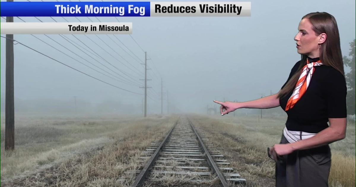 Wind and temperatures on the rise for the weekend in Montana
Nonstop Local News Montana Today, we saw dense fog in western valleys this morning This yielded to widespread sunshine in the afternoon across the region Highs reached the 50s in most major areas, which is normal for…
Air quality
Air quality is satisfactory, and air pollution poses little or no risk.
Helena, MT reporting area · 1 hr ago. Data from AirNow (EPA and its state, local and tribal partners); preliminary and subject to change.
Sun & moon
Almanac
MonthlyTownsend 3se, records since 1948. Normals 1991–2020. Data from NOAA's Regional Climate Centers (ACIS).
Nearby
- Helena 50 km
- Helena Valley Southeast 45 km
- Helena Valley West Central 56 km
- Helena Valley Northeast 54 km
- Montana City 40 km
- East Helena 43 km
Forecasters' discussion
From the National Weather Service office in TFX, issued 4 hrs ago
Key Messages
- Temperatures will return to unseasonably warm levels on Wednesday and continue until a period of cooler than average temperatures beginS Friday, which continueS through the beginning of the following week.
- Pacific system will bring rain and mountain snow beginning Thursday night and continuing through early Saturday morning.
- Gusty winds develop Friday afternoon and continue through Friday night with the highest gusts along the Rocky Mountain Front and Central MT.
Update
Satellite imagery this evening shows areas of mainly thin high cloud-cover streaming across MT in west to southwest flow aloft around the circulation of an upper level ridge centered southeast of the area. Overall dry conditions and light winds prevail through the remainder of tonight as surface high pressure slides east across the Canadian Prairies. Hoenisch
Discussion
/Issued 507 PM MDT Tue Oct 20 2026/
- Meteorological Overview:
Upper-level ridging will allow for mild conditions to continue through Thursday. Temperatures will be warmer than average and winds will be lighter with gusts generally remaining under 25 mph.
A weather system out of the Pacific that has been lingering over the west coast will begin to track eastward on Thursday, bringing cooler temperatures and moisture to the area. A cold front associated with this system will move through the region on Friday, resulting in the high temperatures on Friday to occur during the morning hours. Additionally, post frontal winds will develop Friday afternoon and continue through Friday night. The highest gusts are expected along the Rocky Mountain Front and Central MountainS. For southwest Montana, there is also a chance for thunderstorms due to passing of the cold front during the day on Friday. Due to snow levels not falling until the precipitation associated with this system has decreased, the bulk of snowfall is likely to be limited to the mountains. Any snowfall that does mix-in for the lowland areas will be hindered in accumulating due to recent rainfall and warm temperatures.
Looking beyond Saturday, although confidence is lower due to the how far into the future this is, upper-level troughing looks like it will remain in place over the region. Overall, temperatures will continue to be cooler with overnight freezes each night. Winds will be mild across the region with gusts generally under 25 mph. An upper-level trough has the potential to clip north Montana on Sunday and cause some light showers. With snow levels still at lower levels and daytime high temps in the upper 30s/low 40s, light showers may be snow or a snow/rain mix in the lowlands. -ESH
- Forecast Confidence & Scenarios:
Aviation
21/00Z TAF Period
VFR conditions prevail through the TAF period under a south to southwest flow aloft with just some passing high clouds and/or some daytime cumulus over terrain near the ID border. Surface winds remain light through Wednesday morning with a slight increase in south to southeast surface winds Wednesday afternoon. Hoenisch
Forecasts, observations and alerts in the United States come from the National Weather Service (NOAA); radar from NOAA's Multi-Radar Multi-Sensor system; satellite imagery from NASA's Global Imagery Browse Services (GIBS) and NOAA's GOES satellites; the map from the U.S. Geological Survey's National Map; air quality from AirNow (EPA and its partners); hurricane information from the National Hurricane Center; climate normals and records from NOAA's Regional Climate Centers (ACIS). Forecasts outside the United States and the UV index: MET Norway (CC BY 4.0); observations outside the U.S.: airport reports via NOAA's Aviation Weather Center. Place names: GeoNames (CC BY 4.0). Data are copied on a schedule and may lag the sources; for warnings that affect your safety, follow your local National Weather Service office and emergency officials. Weather news is drawn from the 4Conservative index and reflects what the press published. Terms of use.