Install
Richland, MS Weather
Current conditions
Observed at Jackson, Jackson International Airport · 48 min ago
Forecast
10-day-
Wednesday
Sunny, with a high near 83. North northeast wind 0 to 5 mph.
-
Wednesday Night
Mostly clear, with a low around 51. North northeast wind 0 to 5 mph.
-
Thursday
Sunny, with a high near 84. North northeast wind 0 to 10 mph.
National Weather Service forecast updated 10 hrs ago.
Hourly
Hourly forecast- Now51°
- 9 AM58°
- 10 AM68°
- 11 AM73°
- 12 PM77°
- 1 PM80°
- 2 PM81°
- 3 PM82°
- 4 PM83°
- 5 PM81°
- 6 PM78°
- 7 PM73°
- 8 PM67°
- 9 PM64°
- 10 PM61°
- 11 PM59°
- Thu12 AM58°
- 1 AM56°
- 2 AM55°
- 3 AM54°
- 4 AM53°
- 5 AM52°
- 6 AM52°
- 7 AM51°
10-day forecast
Details- TonightOct 20Mostly Clear49°
- TodayOct 21Sunny51°83°
- ThuOct 22Sunny50°84°
- FriOct 23Sunny49°84°
- SatOct 24Sunny47°81°
- SunOct 25Sunny48°80°
- MonOct 26Mostly Sunny50°81°
- TueOct 27Mostly Sunny83°
- WedOct 28Mostly sunny57°75°
- ThuOct 29Cloudy57°71°
Days after the National Weather Service's seven are MET Norway's outlook, a computer model with no forecaster's review.
Radar
Full mapWeather news in Mississippi
More weather news-
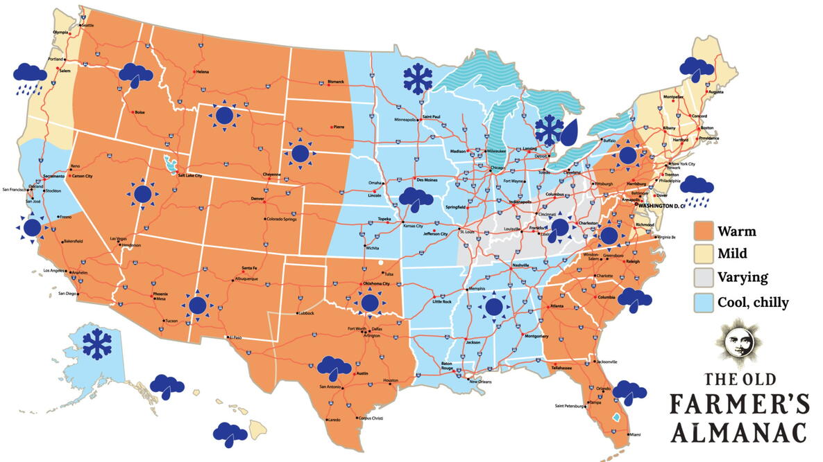 Old Farmer’s Almanac predicts Thanksgiving weather in Mississippi
The Old Farmer’s Almanac has released its weather forecast for Thanksgiving 2026, predicting a mix of sunshine, rain, and snow across the country. But what does the forecast have in store for Mississippi? According to…
-
 Clear nights and sunny skies on tap for south Mississippi
We are in for a beautiful stretch of fall weather this week, with plenty of sunshine and comfortable temperatures expected through early next week. Tuesday through Friday will bring sunny skies and highs near 80…
-
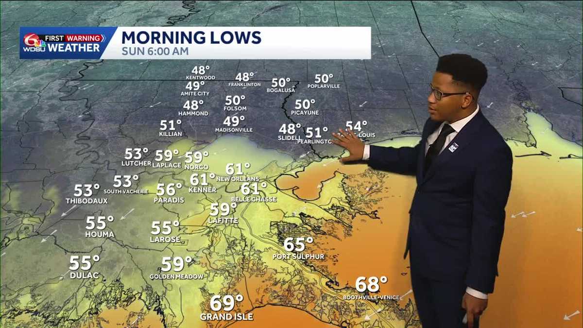 Chilly mornings return to Southeast Louisiana and Coastal Mississippi's weather forecast
Thanks to Friday's cold front, cooler air continues to move into the Deep South, including Southeast Louisiana and Coastal Mississippi. Temperatures across the Northshore Sunday morning will fall to the upper 40s and…
-
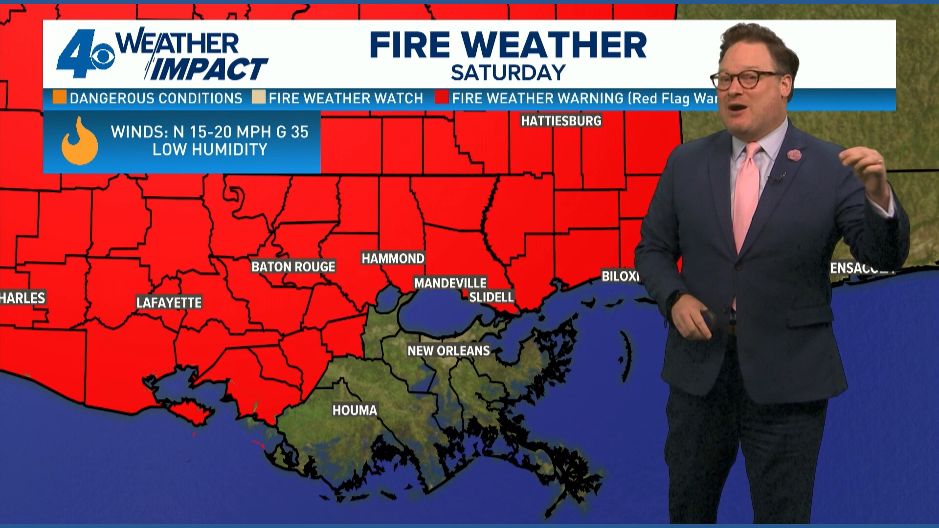 Red Flag Warning issued for parts of southeast Louisiana, southern Mississippi ahead of dry conditions
The National Weather Service has issued a Red Flag Warning for parts of southeast Louisiana and all of southern Mississippi on Friday. The warning is in effect from 9 a.m. until 8 p.m. on Saturday as forecasters say a…
-
 Ready for Old Man Winter? Early preparations begin in Mississippi
As El Niño looms over the U.S. -- the National Oceanic and Atmospheric Administration predicts an early winter for Mississippians. So, Twin States News spoke to people in the Meridian area about how they're preparing…
-
 Upper Mississippi River
WXOW Watch: WIAA Football Bracket Reveal Show on Saturday, Oct. 17 Freeze Warning from SAT 1:00 AM CDT until SAT 9:00 AM CDT Courtesy Upper Mississippi River National Wildlife and Fish Refuge Boaters asked to avoid…
-
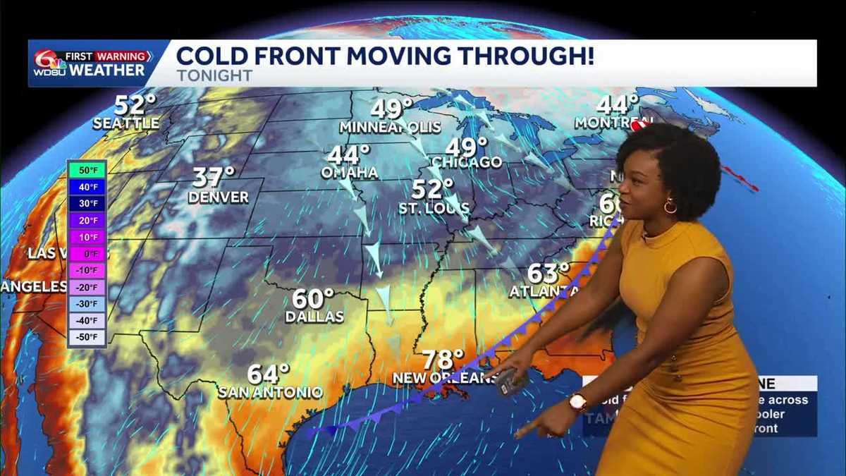 Southeast Louisiana, Mississippi weather: Cold front brings gusty winds and a cooler weekend
Highs reach 87–90 Friday before cooler air arrives tonight. A Wind Advisory begins at 4 p.m., with increased fire danger Saturday. A big change arrives today as a cold front brings gusty north winds and much cooler air…
-
 ONE LAST TASTE OF SUMMER FRIDAY, THEN WHAM: FALL BLAST BRINGS 40s, GUSTY WINDS TO SOUTH MISSISSIPPI
Enjoy the warmth Friday morning, grab the jacket by Friday night — gusty north winds, chilly 40s, and fire danger headline your weekend ’Some sus s--- going on’: What Nolan Wells’ friends said in texts after he…
-
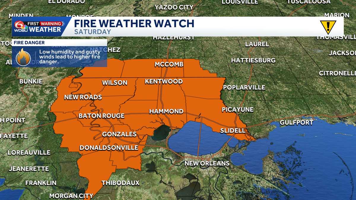 Fire Weather Watch: Southeast Louisiana and Southern Mississippi Saturday
The National Weather Service has issued a Fire Weather Watch for Saturday across large portions of southeast Louisiana and southwest Mississippi as a combination of strong winds, low humidity, and ongoing drought…
-
 Cooler temperatures expected across Mississippi this weekend as fire danger rises
After a stretch of summer-like heat, Mississippi is finally in line for a taste of fall. Temperatures are expected to drop more than 20 degrees across the state after Thursday, with cooler air arriving Friday and…
Air quality
Acceptable. Unusually sensitive people should consider limiting prolonged outdoor exertion.
Forecast
- WedModerate (51)
- ThuModerate
- FriModerate
Jackson, MS reporting area · 1 hr ago. Data from AirNow (EPA and its state, local and tribal partners); preliminary and subject to change.
Sun & moon
Almanac
MonthlyJackson Area, records since 1896. Normals 1991–2020. Data from NOAA's Regional Climate Centers (ACIS).
Nearby
Forecasters' discussion
From the National Weather Service office in JAN, issued 2 hrs ago
Key Messages
- Fire danger concerns will persist through the upcoming week due to very dry ground conditions and low humidity each day.
- Daytime temperatures will be above normal through most of the week, with cool overnights and mornings.
Discussion
Issued at 202 AM CDT Wed Oct 21 2026
Our dry weather continues today, as it will through the remainder of the forecast period. High pressure is maintaining steady control across the eastern half of the CONUS. PWs will remain below 3/4 inch over the next few days, then as low level flow shifts more easterly, the airmass will be reinforced by drier and somewhat cooler air, with PW falling to 1/4-1/2 inch (around 50 pct of normal) in most areas. Within this dry regime, diurnal temperature ranges will be greater, with cool mornings and warm afternoons. With the shift to easterly flow, high temps won't be quite as warm over the weekend into Monday, but they will still be near to slightly above normal.
Given the persistent dry pattern, fire weather will remain the primarily concern over the upcoming week. Antecedent ground conditions/fuels are exceptionally dry (daily max ERCs in the 90th+ percentile) with RHs falling to 20-30 percent each afternoon and at times falling into the teens. However, winds are forecast to remain relatively light throughout this time frame, which is why we don't imminently anticipate a more critical situation worthy of red flag products. Regardless, great caution is still warranted with any outdoor burning over the next several days, or it should be avoided altogether, as local burn bans continue to be added across our area. If there are any signs in later forecasts of stronger wind, messaging may need to be elevated accordingly. /DL/
Aviation
(12Z TAFS) Issued at 641 AM CDT Wed Oct 21 2026
VFR flight conditions with north-northeast winds near 5 kts will prevail through the period. /SW/
Preliminary Point Temps
Jackson 82 51 83 50 / 0 0 0 0 Meridian 80 47 80 45 / 0 0 0 0 Vicksburg 82 49 83 47 / 0 0 0 0 Hattiesburg 82 47 84 46 / 0 0 0 0 Natchez 81 49 83 49 / 0 0 0 0 Greenville 81 50 82 49 / 0 0 0 0 Greenwood 82 46 82 47 / 0 0 0 0
Forecasts, observations and alerts in the United States come from the National Weather Service (NOAA); radar from NOAA's Multi-Radar Multi-Sensor system; satellite imagery from NASA's Global Imagery Browse Services (GIBS) and NOAA's GOES satellites; the map from the U.S. Geological Survey's National Map; air quality from AirNow (EPA and its partners); hurricane information from the National Hurricane Center; climate normals and records from NOAA's Regional Climate Centers (ACIS). Forecasts outside the United States and the UV index: MET Norway (CC BY 4.0); observations outside the U.S.: airport reports via NOAA's Aviation Weather Center. Place names: GeoNames (CC BY 4.0). Data are copied on a schedule and may lag the sources; for warnings that affect your safety, follow your local National Weather Service office and emergency officials. Weather news is drawn from the 4Conservative index and reflects what the press published. Terms of use.