Install
Drew, MS Weather
Current conditions
Forecast for this hour (no station report in the last two hours)
Forecast
10-day-
Thursday Night
Clear, with a low around 50. North northeast wind around 5 mph.
-
Friday
Sunny, with a high near 81. East northeast wind around 5 mph.
-
Friday Night
Clear, with a low around 50. East wind around 5 mph.
National Weather Service forecast updated 1 day ago.
Hourly
Hourly forecast- Now58°
- 2 AM56°
- 3 AM55°
- 4 AM53°
- 5 AM52°
- 6 AM52°
- 7 AM51°
- 8 AM53°
- 9 AM59°
- 10 AM67°
- 11 AM72°
- 12 PM76°
- 1 PM78°
- 2 PM80°
- 3 PM81°
- 4 PM81°
- 5 PM79°
- 6 PM76°
- 7 PM73°
- 8 PM69°
- 9 PM65°
- 10 PM62°
- 11 PM60°
- Sat12 AM58°
10-day forecast
Details- TonightOct 21Mostly Clear49°
- ThuOct 22Sunny50°82°
- TodayOct 23Sunny50°81°
- SatOct 24Sunny49°80°
- SunOct 25Mostly Sunny48°77°
- MonOct 26Partly Sunny47°76°
- TueOct 27Mostly Sunny49°79°
- WedOct 28Mostly Sunny80°
- ThuOct 29Partly cloudy57°81°
- FriOct 30Mostly sunny58°83°
Days after the National Weather Service's seven are MET Norway's outlook, a computer model with no forecaster's review.
Radar
Full mapWeather news near Drew
More weather news-
 Meteorologist Hunter Clouser’s Sunday Evening Forecast: October 18th, 2026!
Meteorologist Hunter Clouser has today's forecast, including possible frost overnight but otherwise beautiful week! Lima, OH (WLIO) - We reached freezing temperatures this morning, at around 32 degrees, but a mild and…
-
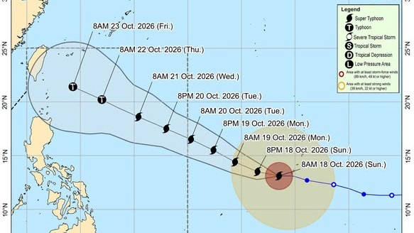 Super Typhoon Champi keeps strength as it nears PAR
Super Typhoon Champi maintained its strength as it drew closer to the Philippine Area of Responsibility (PAR), state weather bureau PAGASA said on Sunday morning. According to the 11 a.m. tropical cyclone advisory…
-
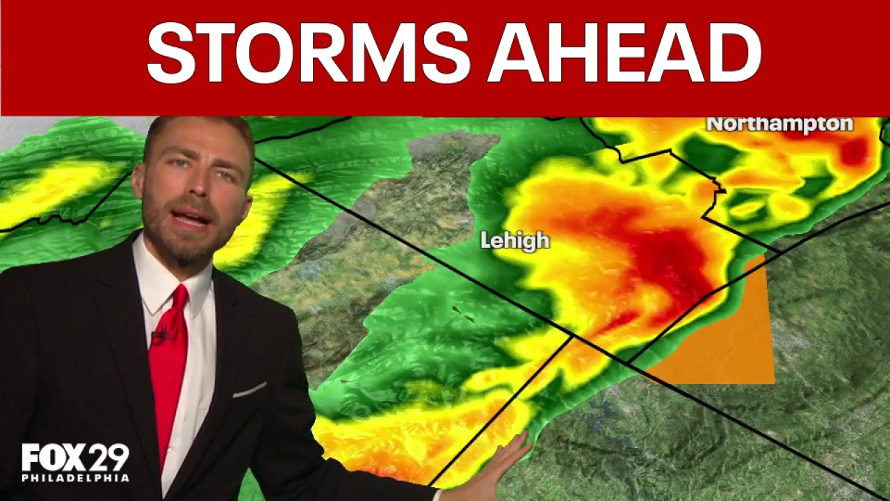 Philadelphia weather: Potential for severe weather tonight
FOX 29 Philadelphia FOX 29 meteorologist Drew Anderson looks at current conditions ahead of tonight's potential storms and breaks down the 7-day forecast.
-
 Tropical systems may impact harvest weather outlook
An ag meteorologist says he’s monitoring some hurricane activity that could impact upcoming weather conditions for Midwestern farmers. Drew Lerner, senior agricultural meteorologist with World Weather Incorporated, says…
-
 Meteorologist Ahmet Köse explained one by one the causes of the downpour that hit Istanbul! Our ancestors called it the 'Virgin Mary Storm'.
Evaluating the downpour that flooded many homes and workplaces in Istanbul and uprooted trees, Ahmet Köse, Second Chairman of the Chamber of Meteorological Engineers, explained what happened by the warm water of the…
-
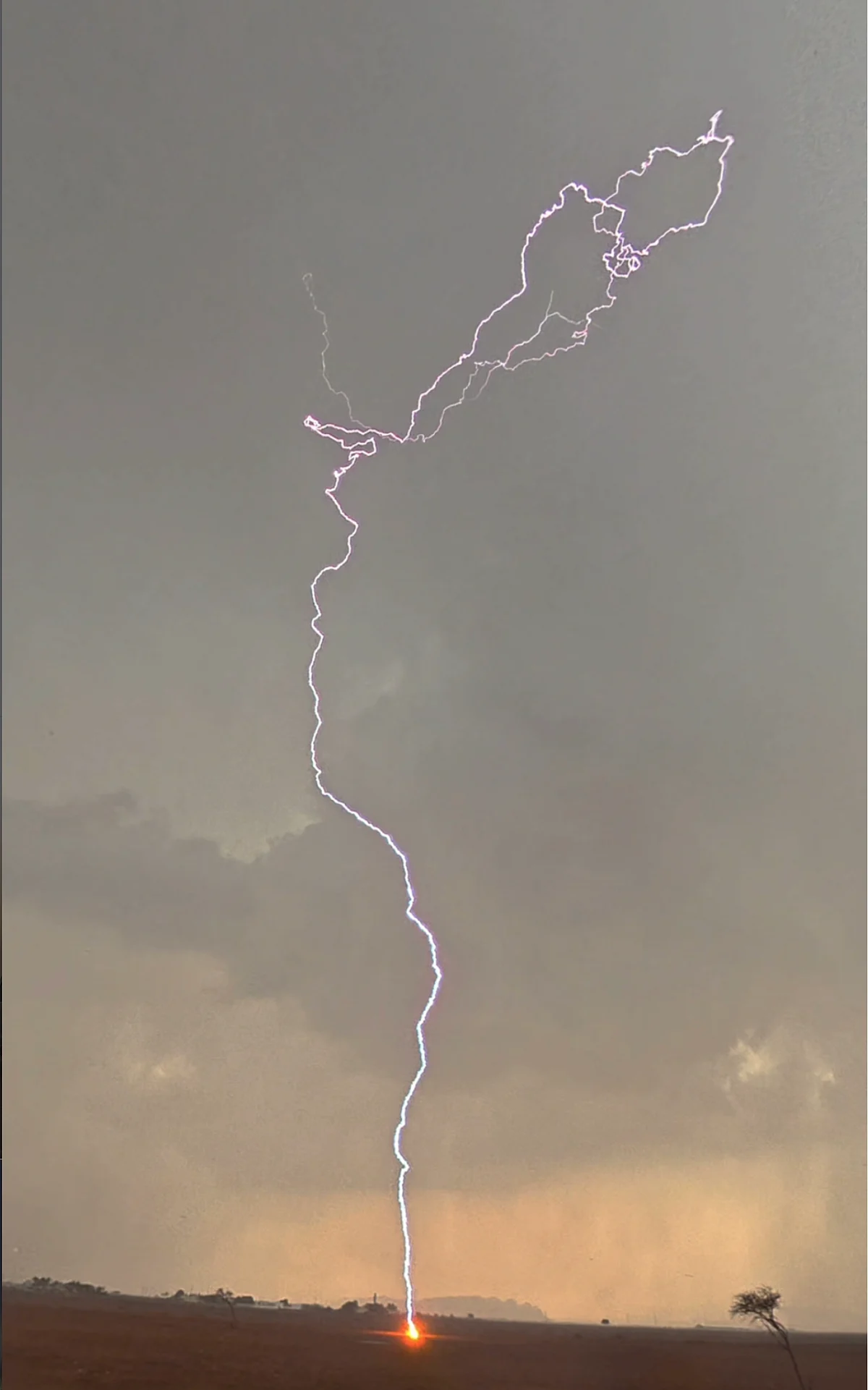 UAE Rains: Where Hail Fell, Lightning Struck And Water Flowed As More Showers Forecast
More rain is expected in parts of the UAE until the end of the week, with the National Centre of Meteorology (NCM) forecasting further showers that could extend into inland areas of Dubai, Abu Dhabi and Al Dhafra. The…
-
 Cool jackets Thursday morning, T-shirts by lunch! Perfect fall day ahead in South Mississippi
WLOX If you’re heading out the door Thursday morning, take a light jacket! Temps are running from the 40s and 50s inland to right around 60 on the coast. It’s that crisp, fall feel to start the day. Now, the bigger…
-
 The fall-like feel continues for South Mississippi
It’s already feeling a little cool tonight, and even more so by morning as temperatures fall back to the upper 40s and low 50s. Expect plenty of sunshine over the next several days, with afternoon highs mostly in the…
-
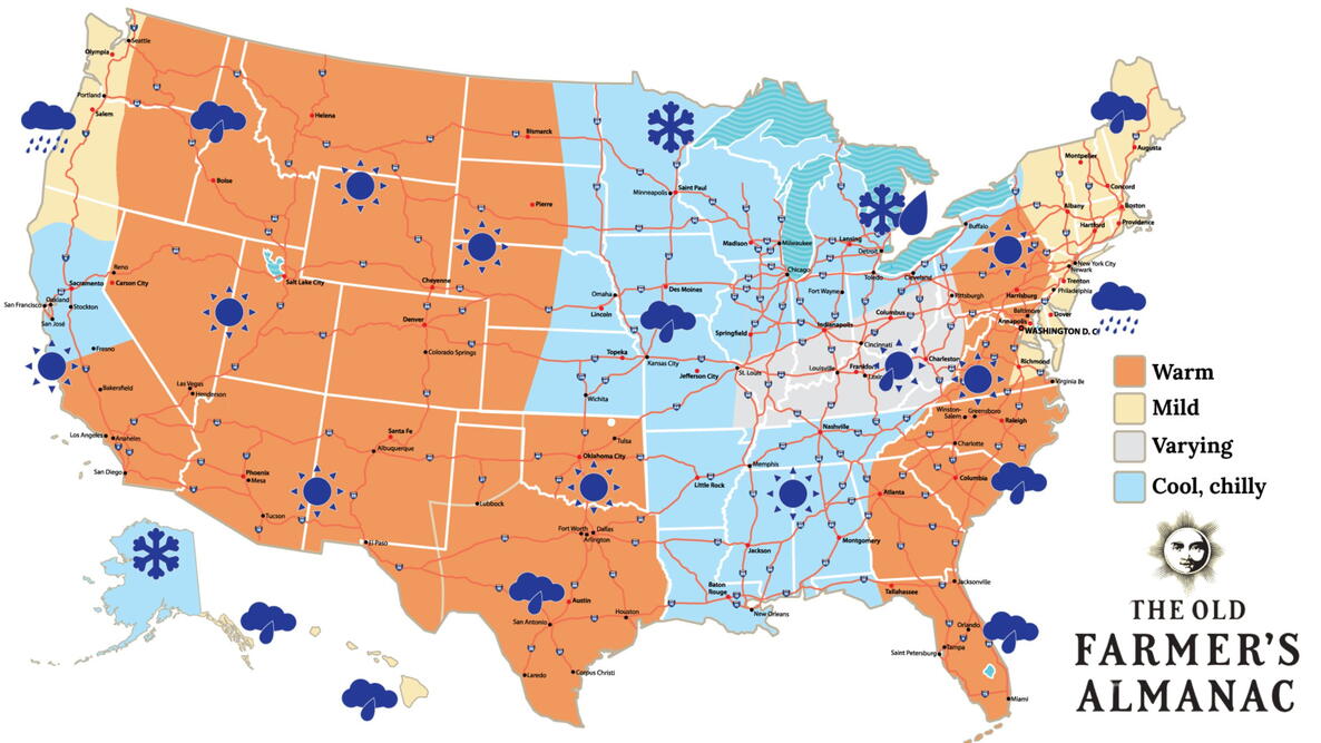 Old Farmer’s Almanac predicts Thanksgiving weather in Mississippi
The Old Farmer’s Almanac has released its weather forecast for Thanksgiving 2026, predicting a mix of sunshine, rain, and snow across the country. But what does the forecast have in store for Mississippi? According to…
-
 Clear nights and sunny skies on tap for south Mississippi
We are in for a beautiful stretch of fall weather this week, with plenty of sunshine and comfortable temperatures expected through early next week. Tuesday through Friday will bring sunny skies and highs near 80…
Air quality
Air quality is satisfactory, and air pollution poses little or no risk.
Cleveland, MS reporting area · 1 hr ago. Data from AirNow (EPA and its state, local and tribal partners); preliminary and subject to change.
Sun & moon
Almanac
MonthlyCleveland, records since 1901. Normals 1991–2020. Data from NOAA's Regional Climate Centers (ACIS).
Nearby
- Clarksdale 44 km
- Greenwood 46 km
- Cleveland 20 km
- Indianola 42 km
- Leland 57 km
- Tutwiler 24 km
- Ruleville 10 km
- Moorhead 40 km
- Shelby 27 km
- Charleston 49 km
Forecasters' discussion
From the National Weather Service office in JAN, issued 1 hr ago
Key Messages
- Elevated fire danger concerns will persist through early next week due to very dry ground conditions and low humidity each day.
Discussion
Issued at 103 PM CDT Thu Oct 22 2026
Forecast Remains on Track:
The forecast is very straight-forward through the next week, and confidence is therefore high in the forecast details. Global model ensembles agree that an anomalously warm upper level ridge will slowly shift eastward across the lower Mississippi Valley region as we finish up the week and go into next week. This will lead to a continuation of dry weather with large diurnal temperature ranges approaching 40 deg F.
Of greatest importance, the continued drying of vegetation combined with exceptionally low daytime RH values will help to maintain an elevated fire danger threat. We will continue to message this through the graphics and fire danger statement. Wind should have less influence and be a smaller factor in determining the fire danger threat levels.
Otherwise, rainfall is not expected until late next week at the earliest, when the ridge shows signs of breaking down. /EC/OAJ/
Aviation
(06Z TAFS) Issued at 1220 AM CDT Fri Oct 23 2026
VFR flight categories will continue at area TAF sites over the next 24 hours. Winds will be calm to light from the northeast around 3 knots overnight. These will then increase to between 5-8 knots from the east northeast by late morning. /19/
Preliminary Point Temps
Jackson 84 53 81 49 / 0 0 0 0 Meridian 80 46 76 46 / 0 0 0 0 Vicksburg 84 51 84 48 / 0 0 0 0 Hattiesburg 84 47 80 47 / 0 0 0 0 Natchez 85 53 83 51 / 0 0 0 0 Greenville 83 51 82 51 / 0 0 0 0 Greenwood 83 49 81 47 / 0 0 0 0
Forecasts, observations and alerts in the United States come from the National Weather Service (NOAA); radar from NOAA's Multi-Radar Multi-Sensor system; satellite imagery from NASA's Global Imagery Browse Services (GIBS) and NOAA's GOES satellites; the map from the U.S. Geological Survey's National Map; air quality from AirNow (EPA and its partners); hurricane information from the National Hurricane Center; climate normals and records from NOAA's Regional Climate Centers (ACIS). Forecasts outside the United States and the UV index: MET Norway (CC BY 4.0); observations outside the U.S.: airport reports via NOAA's Aviation Weather Center. Place names: GeoNames (CC BY 4.0). Data are copied on a schedule and may lag the sources; for warnings that affect your safety, follow your local National Weather Service office and emergency officials. Weather news is drawn from the 4Conservative index and reflects what the press published. Terms of use.