Install
Spanish Lake, MO Weather
Current conditions
Observed at St. Louis Lambert International Airport · 1 hr ago
Forecast
10-day-
Saturday Night
Mostly cloudy, with a low around 50.
-
Sunday
Partly sunny, with a high near 79.
-
Sunday Night
Mostly cloudy, with a low around 51.
National Weather Service forecast updated 3 days ago.
Hourly
Hourly forecast- Now56°
- 1 AM55°
- 2 AM54°
- 3 AM54°
- 4 AM53°
- 5 AM52°
- 6 AM51°
- 7 AM51°
- 8 AM54°
- 9 AM58°
- 10 AM63°
- 11 AM68°
- 12 PM72°
- 1 PM76°
- 2 PM78°
- 3 PM79°
- 4 PM78°
- 5 PM76°
- 6 PM73°
- 7 PM69°
- 8 PM66°
- 9 PM63°
- 10 PM61°
- 11 PM59°
10-day forecast
Details- TonightOct 21Mostly Clear50°
- ThuOct 22Sunny49°77°
- FriOct 23Sunny48°76°
- SatOct 24Mostly Sunny50°76°
- TodayOct 25Partly Sunny51°79°
- MonOct 26Partly Sunny51°77°
- TueOct 27Partly Sunny49°71°
- WedOct 28Mostly Sunny72°
- ThuOct 29Partly cloudy44°68°
- FriOct 30Cloudy55°64°
Days after the National Weather Service's seven are MET Norway's outlook, a computer model with no forecaster's review.
Radar
Full mapWeather news near Spanish Lake
More weather news- St. Louis Weather Forecast Friday Through Thursday
St. Louis is trading late-summer warmth for a blustery fall reset Friday: mostly cloudy skies, a high near 55, and northwest winds around 17 mph with gusts up to 33 mph. A few rain showers could move through after 3…
-
 How frost this weekend could kickstart the emergence of fall foliage
If you have been waiting for vibrant red and purple leaves to take over Mid-Missouri, this weekend is the ultimate make-or-break moment. We are officially entering our prime window for autumn color, but the drastic…
-
 First Alert Weather Day Today: Low Severe Storm Chance 2 - 7PM
KMOV - Outlying Areas Could See Frost Saturday AM and Sunday AM Today: Expect lots of cloud cover today with temperatures nearing 80°. Isolated Severe Storms Remain Possible this Afternoon from 2PM- 7PM: This is a…
-
 First Alert Weather Day Today: Low Severe Storm Chance This Afternoon-Early Evening
KMOV - Outlying Areas Could See Frost Saturday AM and Sunday AM Today: Scattered showers and storms push through the region during the morning hours. Temperatures remain into the upper 60s and lower 70s during this…
-
 Damaging Winds Possible in Illinois and Missouri Thursday
Parts of Missouri and most of Illinois are likely to experience the type of thunderstorm you'd expect to see during the Spring months. Forecasters are warning of a possible damaging wind event that will likely leave…
-
 This week's record heat caps hottest Jan.-Sept. on record in US
If it feels like summer never left, the numbers back you up. This week brought a fresh wave of record-breaking heat across the country, even as calendars flip toward Halloween. In a word: hot. According to U.S. National…
-
 Cold Front Ends Record October Heat Across the United States
Record-breaking October warmth across the central and eastern United States is giving way to a sharp cooldown, with a powerful cold front expected to bring rain, strong winds and scattered temperatures in the 40s by the…
- Daily high-temperature records broken or tied on October 13 across parts of the central U.S.
Five daily high-temperature records were broken and one was tied at six sites across Kansas, Oklahoma, Missouri and Illinois on October 13, 2026. Temperatures at the sites reached 32.8–33.9°C (91–93°F), or 9.4–13.3°C…
-
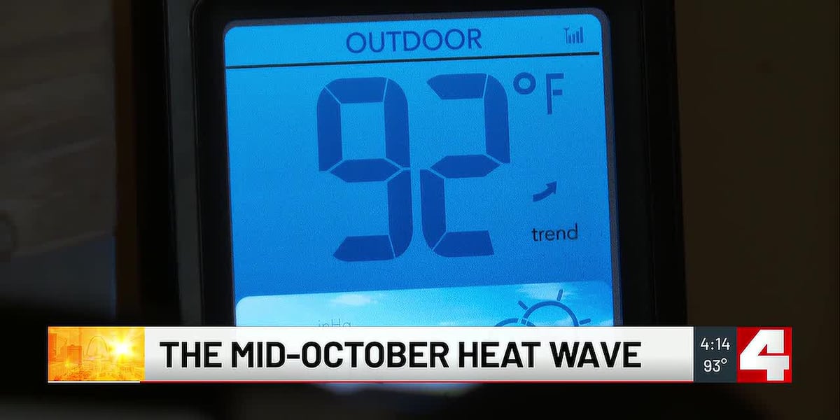 St. Louis hits record high of 93 degrees in mid-October
St. Louis reached a record high of 93 degrees on Tuesday. ST. LOUIS, Mo. (First Alert 4) - St. Louis reached a record high of 93 degrees on Tuesday. Temperatures in the 90s arrived as some seasonal preparations…
- Weather whiplash incoming: Record October heat could flip to first snow
It’s mid-October, so wild temperature changes can be expected across the country. This week will be no exception. A major, record-breaking warm-up followed by a bone-chilling cooldown across much of the central and…
Air quality
Acceptable. Unusually sensitive people should consider limiting prolonged outdoor exertion.
Forecast
- SunModerate
- MonModerate
St. Louis (Metro-east), IL reporting area · 1 hr ago. Data from AirNow (EPA and its state, local and tribal partners); preliminary and subject to change.
Sun & moon
Almanac
MonthlySt Louis Area, records since 1874. Normals 1991–2020. Data from NOAA's Regional Climate Centers (ACIS).
Nearby
- St. Louis 18 km
- O'Fallon 42 km
- Saint Charles 23 km
- Saint Peters 36 km
- Florissant 9 km
- Chesterfield 34 km
- Belleville 36 km
- Oakville 36 km
- Wildwood 45 km
- Wentzville 55 km
- University City 17 km
- Ballwin 36 km
Forecasters' discussion
From the National Weather Service office in LSX, issued 6 hrs ago
Key Messages
- Seasonably warm and predominantly dry conditions will persist through next week.
Short Term
Issued at 159 PM CDT Sat Oct 24 2026
An upper-level ridge will remain over the Mid-Mississippi River Valley, locked in place by an Omega Block spanning much of the CONUS. With very little change at the surface and low levels including a lack of substantial advection, temperatures will remain steady in the 70s to near 80 for highs and in the mid-40 to low-50s F for lows. The only thing of note otherwise is increasing, thicker upper-level clouds overspreading the region Sunday and Monday.
Long Term
Issued at 159 PM CDT Sat Oct 24 2026
Global model guidance is coming into a better agreement that the Omega Block will only ebb and flow in strength next week, keeping the Mid-Mississippi River Valley in southwesterly to broadly anticyclonic flow near the ridge as it shifts slightly eastward. The main impact of multiple upper-level troughs rounding the ridge will be waves of upper/mid-level clouds, but ensemble model probabilities of measurable rainfall are 20 to 40 percent in northeastern/central MO and west-central IL late Tuesday onward where forcing/moisture and wavering front clipping the area could be sufficient for a few brief periods of light showers. However, the consensus is that predominantly dry conditions and continued seasonably warm temperatures will persist through at least Friday with the NBM interquartile range of temperatures contracting at the expense of a warming trend in the 25th percentile.
The big question is: when does the Omega Block break down? There are some signals that at least increasing moisture return and continued passages of upper-level troughs in the southwesterly flow will be enough for increasing probabilities of measurable rainfall next weekend of 60 to 80+ percent. However, confidence is much lower that the pattern undergoes a significant change, with the breakdown of the Omega Block being delayed further and further into the future with successive model iterations.
Aviation
Issued at 554 PM CDT Sat Oct 24 2026
Dry and mainly VFR conditions are expected to continue through the period. The potential for river fog recurring at SUS or CPS remains too low to include in this issuance of the TAFs. Otherwise winds will remain below 10 knots.
Forecasts, observations and alerts in the United States come from the National Weather Service (NOAA); radar from NOAA's Multi-Radar Multi-Sensor system; satellite imagery from NASA's Global Imagery Browse Services (GIBS) and NOAA's GOES satellites; the map from the U.S. Geological Survey's National Map; air quality from AirNow (EPA and its partners); hurricane information from the National Hurricane Center; climate normals and records from NOAA's Regional Climate Centers (ACIS). Forecasts outside the United States and the UV index: MET Norway (CC BY 4.0); observations outside the U.S.: airport reports via NOAA's Aviation Weather Center. Place names: GeoNames (CC BY 4.0). Data are copied on a schedule and may lag the sources; for warnings that affect your safety, follow your local National Weather Service office and emergency officials. Weather news is drawn from the 4Conservative index and reflects what the press published. Terms of use.