Install
Rogersville, MO Weather
Current conditions
Forecast for this hour (no station report in the last two hours)
Forecast
10-day-
Friday Night
Partly cloudy, with a low around 50. Southeast wind 5 to 8 mph.
-
Saturday
Mostly sunny, with a high near 75. Southeast wind 3 to 8 mph.
-
Saturday Night
Mostly cloudy, with a low around 51.
National Weather Service forecast updated 1 day ago.
Hourly
Hourly forecast- Now54°
- 3 AM53°
- 4 AM52°
- 5 AM51°
- 6 AM51°
- 7 AM50°
- 8 AM51°
- 9 AM56°
- 10 AM62°
- 11 AM66°
- 12 PM70°
- 1 PM72°
- 2 PM75°
- 3 PM75°
- 4 PM75°
- 5 PM72°
- 6 PM69°
- 7 PM65°
- 8 PM62°
- 9 PM59°
- 10 PM57°
- 11 PM56°
- Sun12 AM55°
- 1 AM55°
10-day forecast
Details- ThuOct 22Sunny50°76°
- FriOct 23Sunny50°75°
- TodayOct 24Mostly Sunny51°75°
- SunOct 25Partly Sunny50°76°
- MonOct 26Partly Sunny48°73°
- TueOct 27Partly Sunny45°69°
- WedOct 28Mostly Sunny47°68°
- ThuOct 29Cloudy0.13 in42°62°
- FriOct 30Partly cloudy36°58°
- SatOct 31Cloudy46°65°
Days after the National Weather Service's seven are MET Norway's outlook, a computer model with no forecaster's review.
Radar
Full mapWeather news in Missouri
More weather news-
 Thursday Evening Forecast: Mid-Missouri Weather Update
KRCG has released its Thursday evening forecast for the mid-Missouri viewing area covering October 22, 2026. The update details expected temperatures, cloud cover and precipitation chances for the coming hours and…
-
 Freeze alerts stretch from Missouri to New York for Sunday
Temps drop for millions across the Central Plains, Midwest, Northeast The first real taste of fall is settling in for millions, including a few first frosts and freezes of the season for some in the Midwest and East…
-
 Saturday Evening Forecast: What Mid-Missouri Can Expect Next
Saturday evening's forecast from KRCG lays out what Mid-Missouri can expect as the weekend winds down. Forecasters break down temperatures, cloud cover,... - Saturday evening's forecast from KRCG lays out what…
-
 Missouri farmers wait as rains stall fieldwork
A farmer in west-central Missouri says the recent rains are delaying early planting, and while the moisture is needed, it’s heavier than expected. “So far, we’ve had a little more than four inches since the start of the…
-
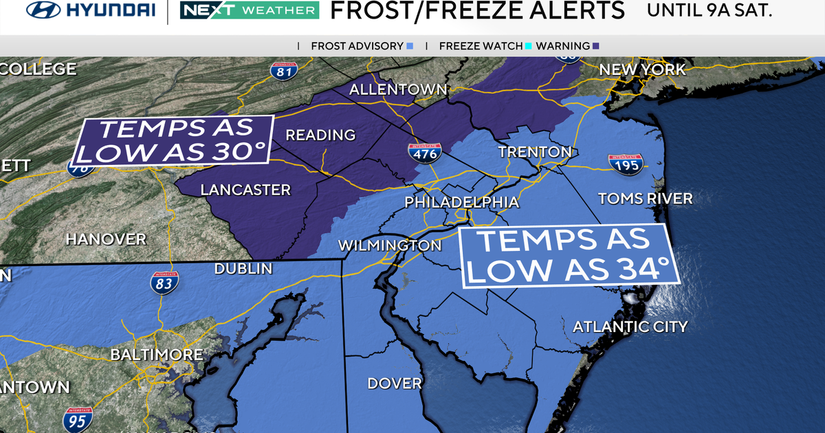 Freeze warning in effect for parts of Philadelphia region as chilly air moves in. Here's the weather forecast.
October 23, 2026 / 11:57 PM EDT / CBS Philadelphia With fall comes some frosty mornings, and that's exactly what's on tap this weekend in the Philadelphia region. Temperatures Saturday morning along the I-95 corridor…
-
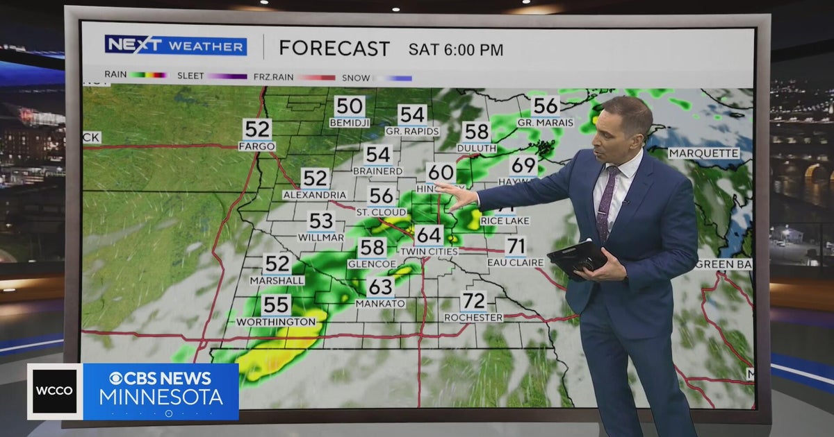 Minnesota weather to feature warm temps Saturday before cooldown | Oct. 23, 2026
CBS News Minnesota is a local news organization that is part of CBS News and Stations. Also referred to as WCCO-TV and channel 4, CBS News Minnesota offers local breaking news, weather coverage and investigative…
-
 Second storm to hit UK with more wind and rain as thousands remain without power
Rough sea along the Dorset coastline on Friday A second storm in as many days is set to batter parts of the UK, as thousands remain without power following powerful winds and heavy rain on Friday. Storm Boelo is…
-
 Before you crank up the thermostat, try these tips to keep your house warmer for longer
As the UK braces for a chilly weekend, with powerful winds and heavy rain hitting parts of the country, people are looking for ways to bring some warmth to their homes without cranking up the heating just yet. It is…
-
 Thunderstorms, heavy rain and flash flooding predicted for much of Australia
Parts of Queensland, Victoria and South Australia can expect severe storms on Saturday, moving into NSW and Tasmania by Sunday Severe thunderstorms and heavy rain will sweep across most Australian states this weekend…
-
 Storm Boelo expected to bring more disruption as hundreds still grapple with Austen power cuts
Storm Boelo is expected to bring wet and windy weather across large swathes of the country on Saturday, with Scotland being hit the hardest Yellow and amber warnings have been given for Scotland, northern England and…
Air quality
Acceptable. Unusually sensitive people should consider limiting prolonged outdoor exertion.
Springfield, MO reporting area · 1 hr ago. Data from AirNow (EPA and its state, local and tribal partners); preliminary and subject to change.
Sun & moon
Almanac
MonthlySpringfield Area, records since 1888. Normals 1991–2020. Data from NOAA's Regional Climate Centers (ACIS).
Nearby
- Springfield 24 km
- Nixa 23 km
- Ozark 17 km
- Republic 38 km
- Branson 55 km
- Marshfield 28 km
- Battlefield 28 km
- Willard 39 km
- Hollister 57 km
- Buffalo 59 km
- Ava 40 km
- Clever 38 km
Forecasters' discussion
From the National Weather Service office in SGF, issued 8 hrs ago
Key Messages
- Above normal temperatures into or through next week. Highs in the middle 70s to around 80 and dry weather are expected through at least the middle of next week.
Short Term
Issued at 141 PM CDT Fri Oct 23 2026
High pressure is overhead today bringing us mostly clear skies and light southeasterly winds near 10 mph. Today's high temperatures will be about 10 degrees above normal this time of year, reaching the upper 70s to lower 80s across the area. Tonight, skies remain clear, and lows dip into the upper 40s to lower 50s.
Long Term
Issued at 141 PM CDT Fri Oct 23 2026
High pressure will stick around through the weekend and through most of next week, keeping our weather steady state. Southwesterly flow returns early next week as high pressure over the SE CONUS starts to push east. This will bring down our temperatures just a bit by a couple of degrees by mid-week. Though, temperatures will still be around 5 to 10 degrees above normal for this time of year. No rain is in the forecast until the end of next week, near Halloween. This is when our next pattern change moves into the area with an incoming cold front brining us widespread rainfall. Until then, highs will be in the mid to upper 70s with lows in the 50s with wind gusts staying around 15 mph or less through the next several days.
Aviation
Issued at 540 PM CDT Fri Oct 23 2026
VFR conditions will prevail through the entirety of the TAF period. Expect mostly clear skies and southeasterly winds below 10kts.
Forecasts, observations and alerts in the United States come from the National Weather Service (NOAA); radar from NOAA's Multi-Radar Multi-Sensor system; satellite imagery from NASA's Global Imagery Browse Services (GIBS) and NOAA's GOES satellites; the map from the U.S. Geological Survey's National Map; air quality from AirNow (EPA and its partners); hurricane information from the National Hurricane Center; climate normals and records from NOAA's Regional Climate Centers (ACIS). Forecasts outside the United States and the UV index: MET Norway (CC BY 4.0); observations outside the U.S.: airport reports via NOAA's Aviation Weather Center. Place names: GeoNames (CC BY 4.0). Data are copied on a schedule and may lag the sources; for warnings that affect your safety, follow your local National Weather Service office and emergency officials. Weather news is drawn from the 4Conservative index and reflects what the press published. Terms of use.