Install
Louisiana, MO Weather
Current conditions
Observed at Pittsfield, Pittsfield Penstone Municipal Airport · 23 min ago
Forecast
10-day-
Tonight
Partly cloudy, with a low around 50. Southeast wind around 2 mph.
-
Sunday
Mostly sunny, with a high near 81. South wind around 2 mph.
-
Sunday Night
Mostly cloudy, with a low around 53. Southeast wind around 2 mph.
National Weather Service forecast updated 1 hr ago.
Hourly
Hourly forecast- Now58°
- Sun12 AM57°
- 1 AM55°
- 2 AM54°
- 3 AM53°
- 4 AM51°
- 5 AM51°
- 6 AM51°
- 7 AM50°
- 8 AM51°
- 9 AM56°
- 10 AM63°
- 11 AM69°
- 12 PM74°
- 1 PM78°
- 2 PM79°
- 3 PM80°
- 4 PM81°
- 5 PM79°
- 6 PM75°
- 7 PM67°
- 8 PM63°
- 9 PM61°
- 10 PM59°
10-day forecast
Details- TonightOct 24Partly Cloudy50°
- SunOct 25Mostly Sunny53°81°
- MonOct 26Partly Sunny52°78°
- TueOct 27Partly Sunny54°77°
- WedOct 28Mostly Sunny57°81°
- ThuOct 29Mostly Sunny10%58°83°
- FriOct 30Mostly Sunny13%59°83°
- SatOct 31Chance Rain Showers42%77°
- SunNov 1Cloudy0.27 in59°76°
- MonNov 2Heavy showers0.67 in63°81°
Days after the National Weather Service's seven are MET Norway's outlook, a computer model with no forecaster's review.
Radar
Full mapWeather news near Louisiana
More weather news-
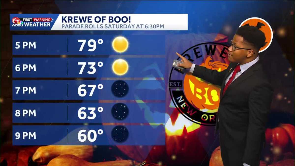 Louisiana's weather forecast: Dry, breezy weekend
Warm afternoons and cool nights continue, while dry conditions keep fire danger elevated across southeast Louisiana and southern Mississippi. Autumn is settling into southeast Louisiana, bringing pleasant mornings…
-
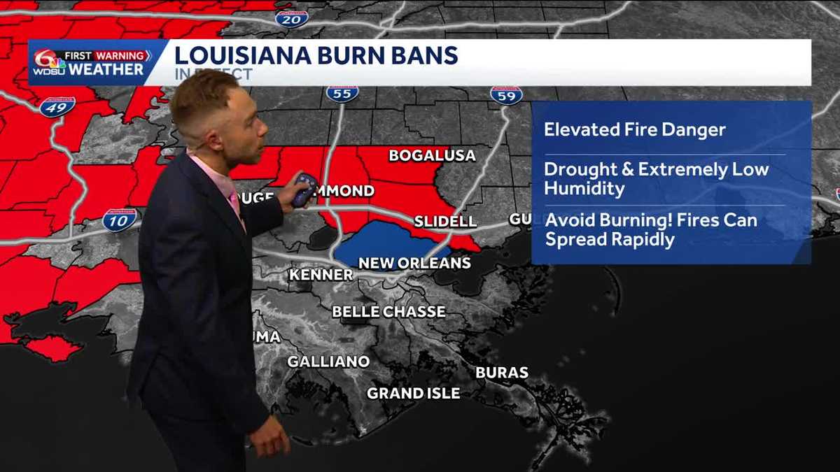 Gorgeous, dry weather continues! Worsening drought and increasing burn bans in Louisiana.
Highs in the upper 70s-low 80s with lots of sunshine on Friday Fall-Like Weather Settles In as Drought and Burn Bans Expand Louisiana will enjoy a stretch of sunshine, cooler nights and fall-like weather over the next…
-
 Another beautiful weekend ahead
NEW ORLEANS (WVUE) - Temperatures will remain seasonable, with daytime highs in the upper 70s to lower 80s and overnight lows generally falling into the 50s north and lower 60s south. Clear to mostly sunny skies through…
- Monday AM Forecast: Jackets needed early, no layers in the afternoon
It is another morning with chilly temperatures across the area so grab a jacket! We will warm out of jacket territory throughout the day, which means you can eventually shed those layers. This will be a theme for the…
-
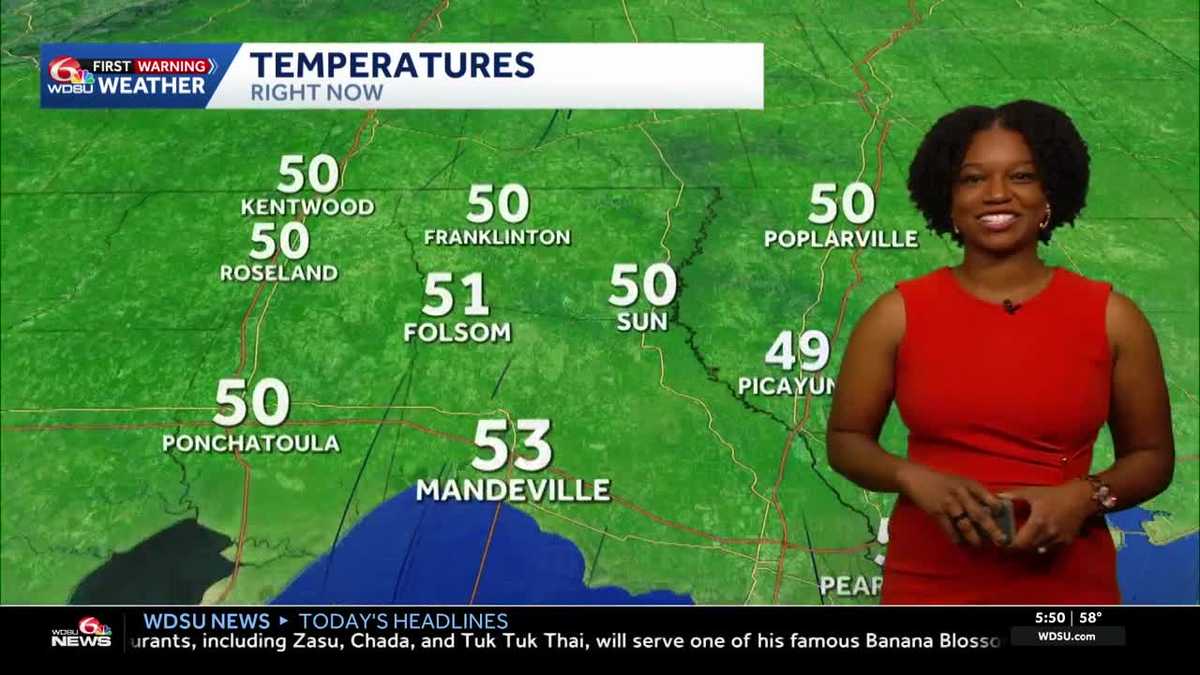 Southeast Louisiana weather: Sunny days, cool nights and growing fire concerns
The dry stretch continues into the weekend, with stronger breezes adding to fire concerns across southeast Louisiana and southern Mississippi. Sunny skies and warm afternoons stick around, but you may want a light…
-
 How El Niño may shape Cape Fear weather this fall and winter
Live 5 News How El Niño may shape Cape Fear weather this fall and winter Citronelle leaders called it a crash, it was a suicide — and officials were asked directly Student to become first teen functionally cured of…
-
 #Drought news October 22, 2026: Improvements occurred across portions of #Kansas, #Nebraska, #Colorado, #Wyoming, #Utah, #Arizona and #NewMexico
Drought news October 22, 2026: Improvements occurred across portions of #Kansas, #Nebraska, #Colorado, #Wyoming, #Utah, #Arizona and #NewMexico coyotegulch.blog Click on a thumbnail graphic to view a gallery of drought…
-
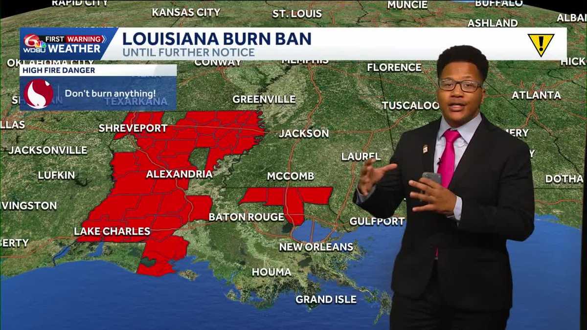 Louisiana's weather forecast: Slightly warmer and still dry
If you have outdoor plans over the next week, the weather should cooperate. A quiet and comfortable fall pattern is settling over southeast Louisiana, bringing plenty of sunshine, relatively low humidity and almost no…
-
 Subtropical Storm Josephine, 10th named storm of the season, heads away from US coastline
Subtropical Storm Josephine was moving northeast away from the U.S. Thursday morning and was on its way to reaching hurricane-force wind speeds after forming Wednesday, forecasters with the National Hurricane Center…
- Josephine is the newest named storm in the Atlantic, but not as a tropical storm
WBRZ Josephine is the newest named storm in the Atlantic, but not as a tropical storm Josephine, the 10th named storm of the 2026 Atlantic hurricane season, has formed off the East Coast. While top wind speeds match…
Air quality
Acceptable. Unusually sensitive people should consider limiting prolonged outdoor exertion.
Mark Twain State Park, MO reporting area · 1 hr ago. Data from AirNow (EPA and its state, local and tribal partners); preliminary and subject to change.
Sun & moon
Almanac
MonthlySaverton Lock And Dam 22, records since 1948. Normals 1991–2020. Data from NOAA's Regional Climate Centers (ACIS).
Nearby
- Hannibal 39 km
- Troy 53 km
- Bowling Green 17 km
- Pittsfield 28 km
- Vandalia 41 km
- Palmyra 56 km
- Moscow Mills 57 km
- Carrollton 58 km
- White Hall 56 km
Forecasters' discussion
From the National Weather Service office in LSX, issued 6 hrs ago
Key Messages
- Seasonably warm and predominantly dry conditions will persist through next week.
Short Term
Issued at 159 PM CDT Sat Oct 24 2026
An upper-level ridge will remain over the Mid-Mississippi River Valley, locked in place by an Omega Block spanning much of the CONUS. With very little change at the surface and low levels including a lack of substantial advection, temperatures will remain steady in the 70s to near 80 for highs and in the mid-40 to low-50s F for lows. The only thing of note otherwise is increasing, thicker upper-level clouds overspreading the region Sunday and Monday.
Long Term
Issued at 159 PM CDT Sat Oct 24 2026
Global model guidance is coming into a better agreement that the Omega Block will only ebb and flow in strength next week, keeping the Mid-Mississippi River Valley in southwesterly to broadly anticyclonic flow near the ridge as it shifts slightly eastward. The main impact of multiple upper-level troughs rounding the ridge will be waves of upper/mid-level clouds, but ensemble model probabilities of measurable rainfall are 20 to 40 percent in northeastern/central MO and west-central IL late Tuesday onward where forcing/moisture and wavering front clipping the area could be sufficient for a few brief periods of light showers. However, the consensus is that predominantly dry conditions and continued seasonably warm temperatures will persist through at least Friday with the NBM interquartile range of temperatures contracting at the expense of a warming trend in the 25th percentile.
The big question is: when does the Omega Block break down? There are some signals that at least increasing moisture return and continued passages of upper-level troughs in the southwesterly flow will be enough for increasing probabilities of measurable rainfall next weekend of 60 to 80+ percent. However, confidence is much lower that the pattern undergoes a significant change, with the breakdown of the Omega Block being delayed further and further into the future with successive model iterations.
Aviation
Issued at 554 PM CDT Sat Oct 24 2026
Dry and mainly VFR conditions are expected to continue through the period. The potential for river fog recurring at SUS or CPS remains too low to include in this issuance of the TAFs. Otherwise winds will remain below 10 knots.
Forecasts, observations and alerts in the United States come from the National Weather Service (NOAA); radar from NOAA's Multi-Radar Multi-Sensor system; satellite imagery from NASA's Global Imagery Browse Services (GIBS) and NOAA's GOES satellites; the map from the U.S. Geological Survey's National Map; air quality from AirNow (EPA and its partners); hurricane information from the National Hurricane Center; climate normals and records from NOAA's Regional Climate Centers (ACIS). Forecasts outside the United States and the UV index: MET Norway (CC BY 4.0); observations outside the U.S.: airport reports via NOAA's Aviation Weather Center. Place names: GeoNames (CC BY 4.0). Data are copied on a schedule and may lag the sources; for warnings that affect your safety, follow your local National Weather Service office and emergency officials. Weather news is drawn from the 4Conservative index and reflects what the press published. Terms of use.