Install
Fort Leonard Wood, MO Weather
Current conditions
Forecast for this hour (no station report in the last two hours)
Forecast
10-day-
Sunday Night
Mostly cloudy, with a low around 51.
-
Monday
Partly sunny, with a high near 78.
-
Monday Night
Mostly cloudy, with a low around 50.
National Weather Service forecast updated 3 days ago.
Hourly
Hourly forecast- Now69°
- 8 PM66°
- 9 PM62°
- 10 PM60°
- 11 PM59°
- Mon12 AM58°
- 1 AM57°
- 2 AM56°
- 3 AM54°
- 4 AM53°
- 5 AM52°
- 6 AM51°
- 7 AM52°
- 8 AM55°
- 9 AM60°
- 10 AM65°
- 11 AM69°
- 12 PM72°
- 1 PM75°
- 2 PM77°
- 3 PM78°
- 4 PM77°
- 5 PM75°
- 6 PM72°
10-day forecast
Details- TonightOct 22Mostly Clear49°
- FriOct 23Sunny50°79°
- SatOct 24Mostly Sunny49°79°
- TodayOct 25Partly Sunny51°80°
- MonOct 26Partly Sunny50°78°
- TueOct 27Partly Sunny49°74°
- WedOct 28Mostly Sunny15%48°74°
- ThuOct 29Slight Chance Rain Showers then Mostly Sunny15%73°
- FriOct 30Cloudy48°59°
- SatOct 31Rain0.26 in49°61°
Days after the National Weather Service's seven are MET Norway's outlook, a computer model with no forecaster's review.
Radar
Full mapWeather news in Missouri
More weather news-
 MoDOT releases mid-Missouri roadwork plans for Oct. 25-31
Mostly Cloudy. Highs in the upper 70s.. Mostly cloudy. Lows in the middle 50s. Roadwork ranging from rural routes to state roads to U.S. highways will affect mid-Missouri from Monday through Sunday, according to the…
-
 Thursday Evening Forecast: Mid-Missouri Weather Update
KRCG has released its Thursday evening forecast for the mid-Missouri viewing area covering October 22, 2026. The update details expected temperatures, cloud cover and precipitation chances for the coming hours and…
-
 Missouri farmers wait as rains stall fieldwork
A farmer in west-central Missouri says the recent rains are delaying early planting, and while the moisture is needed, it’s heavier than expected. “So far, we’ve had a little more than four inches since the start of the…
-
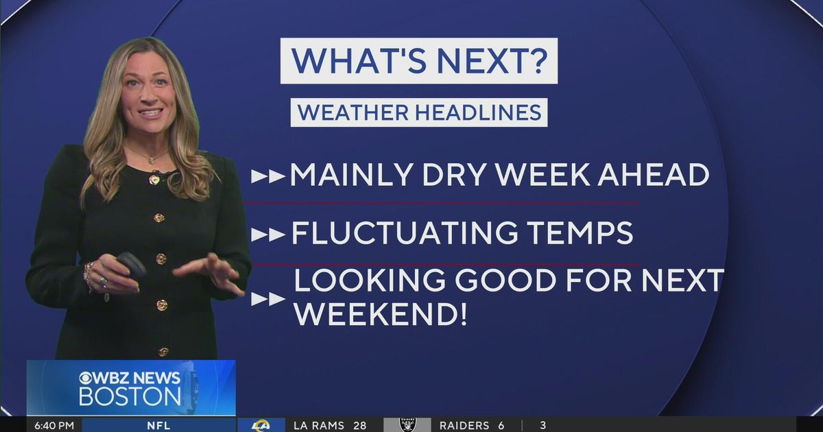 Next Weather: WBZ Evening Update for Oct. 25
CBS News Colorado Weekend 5pm CBS News Detroit Weekend 6:30pm CBS News Miami 6:30pm CBS Philadelphia at 6:30pm KDKA News Weekends 6:30pm CBS News Texas 5:30pm
-
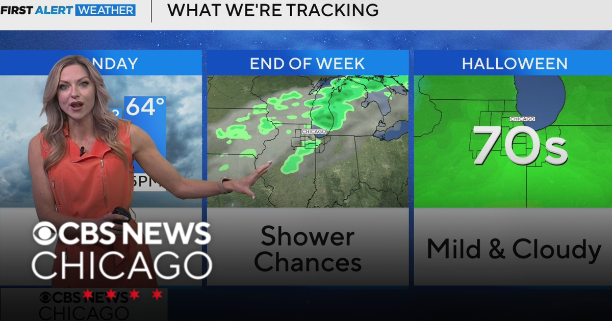 Areas of fog in Chicago Sunday night
CBS News Colorado Weekend 5pm CBS News Detroit Weekend 6:30pm CBS News Miami 6:30pm CBS Philadelphia at 6:30pm KDKA News Weekends 6:30pm CBS News Texas 5:30pm
-
 Wintry encore for Alberta as coldest air since April arrives
Prepare for subfreezing high temperatures by the middle of the week The recent burst of wintry weather in Alberta was a taste of the cold air and snow to come heading into the final week of October. Expect the coldest…
-
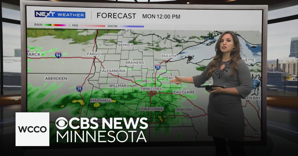 Expect below average temperatures and rain to start the work week | Oct. 25, 2026
CBS News Minnesota is a local news organization that is part of CBS News and Stations. Also referred to as WCCO-TV and channel 4, CBS News Minnesota offers local breaking news, weather coverage and investigative…
-
 Cloudy Sunday with scattered showers as cooler air returns to Minnesota
October 25, 2026 / 12:39 PM CDT / CBS Minnesota A cold front has brought some cooler, more seasonal air to Minnesota. There will be lots of clouds Sunday, keeping highs in the mid-50s. There could be a few showers in…
-
 Forget Me Not provides end-of-life care for your furry friends
End-of-life care is an important consideration for all pet owners. Often you might think of cremation, but have you ever heard of aquamation? Karen Randall with Forget Me Not Gentle Pet Aquamation and Comfort Center…
-
 Record number of Minnesotans expected to visit food shelves in 2026
More and more Minnesotans are reaching out for help to put food on the table. Last year, there were more than 9 million visits to food shelves in Minnesota. The nonprofit tracking those numbers tells our Conor Wight…
Sun & moon
Almanac
MonthlyLicking 4n, records since 1936. Normals 1991–2020. Data from NOAA's Regional Climate Centers (ACIS).
Nearby
- Rolla 44 km
- Lebanon 45 km
- Waynesville 14 km
- Salem 55 km
- Saint Robert 14 km
- Saint James 58 km
- Licking 35 km
- Houston 46 km
Forecasters' discussion
From the National Weather Service office in SGF, issued 5 hrs ago
Key Messages
- Above normal temperatures will continue across the area this week as highs warm into the middle 70s to around 80 degrees.
- Other than the potential for a few sprinkles on Tuesday, the next rain chances for the area will be next weekend.
Short Term
Issued at 222 PM CDT Sun Oct 25 2026
An upper level low is currently located across the southwestern U.S. with the region remaining under an upper level ridge and a warmer air mass. THighs are once again warming into the upper 70s to around 80 degrees this afternoon with light south to southeasterly winds, generally at or below 10 mph. A dry air mass remains in place and afternoon RH values we be in the 25 to 40% range this afternoon.
The upper level low will move to the northeast across the plains tonight into Monday. High level clouds will continue to move east across the area this afternoon into Monday morning. The clouds will then gradually clear from west to east on Monday. Lows tonight will again range from the middle/upper 40s across the eastern Ozarks to the middle 50s across extreme southeastern Kansas tonight into Monday morning. The air mass will be slightly cooler on Monday than today by a few degrees, but will still warm to above normal as highs in the middle to upper 70s occur.
Long Term
Issued at 222 PM CDT Sun Oct 25 2026
An upper level shortwave trough will move northeast out of the southern plains and across the area on Tuesday and Tuesday night. Clouds will increase across the area with the trough. A drier air mass will remain in place across the area which will limit the overall rain chances, but some sprinkles will be possible at times as lift from the trough moves through the region on Tuesday.
The upper level ridge will build back over the region on Wednesday with southerly flow returning. The above normal temperatures will continue as highs in the middle 70s to near 80 are expected Wednesday and Friday as the upper level ridge will be in place over the region. Clouds will start to increase on Friday, but the warmer air mass will remain in place with highs in the middle to upper 70s expected.
Another upper level trough will move northeast out of the southern plains and across the region late this week into next weekend. Better moisture return should occur ahead of this system which will bring rain chances 40-60% to the area. There remains difference between the ensemble model members on the exact track and timing of the system and how fast the rain moves out of the area. It is possible rain chances starts as early as late Friday and chances could linger into Sunday depending on the exact track and timing.
Aviation
Issued at 1114 AM CDT Sun Oct 25 2026
Confidence is high that VFR conditions will occur across the area this afternoon through Monday. High level clouds will continue to move across the area through the TAF period. Winds will remain out of the south to southeast generally remaining at or below 10kts.
Forecasts, observations and alerts in the United States come from the National Weather Service (NOAA); radar from NOAA's Multi-Radar Multi-Sensor system; satellite imagery from NASA's Global Imagery Browse Services (GIBS) and NOAA's GOES satellites; the map from the U.S. Geological Survey's National Map; air quality from AirNow (EPA and its partners); hurricane information from the National Hurricane Center; climate normals and records from NOAA's Regional Climate Centers (ACIS). Forecasts outside the United States and the UV index: MET Norway (CC BY 4.0); observations outside the U.S.: airport reports via NOAA's Aviation Weather Center. Place names: GeoNames (CC BY 4.0). Data are copied on a schedule and may lag the sources; for warnings that affect your safety, follow your local National Weather Service office and emergency officials. Weather news is drawn from the 4Conservative index and reflects what the press published. Terms of use. How to use Weather