Install
Dardenne Prairie, MO Weather
Current conditions
Observed at St. Louis, Spirit Of St. Louis Airport · 24 min ago
Forecast
10-day-
Sunday Night
Mostly cloudy, with a low around 51.
-
Monday
Partly sunny, with a high near 77.
-
Monday Night
Mostly cloudy, with a low around 51.
National Weather Service forecast updated 2 days ago.
Hourly
Hourly forecast- Now57°
- 1 AM56°
- 2 AM55°
- 3 AM54°
- 4 AM53°
- 5 AM52°
- 6 AM51°
- 7 AM52°
- 8 AM55°
- 9 AM60°
- 10 AM64°
- 11 AM68°
- 12 PM72°
- 1 PM74°
- 2 PM76°
- 3 PM77°
- 4 PM77°
- 5 PM74°
- 6 PM71°
- 7 PM67°
- 8 PM64°
- 9 PM60°
- 10 PM58°
- 11 PM56°
10-day forecast
Details- FriOct 23Sunny48°76°
- SatOct 24Mostly Sunny49°76°
- SunOct 25Mostly Sunny51°78°
- TodayOct 26Partly Sunny51°77°
- TueOct 27Partly Sunny51°75°
- WedOct 28Mostly Sunny53°77°
- ThuOct 29Mostly Sunny10%47°75°
- FriOct 30Mostly sunny44°64°
- SatOct 31Cloudy52°71°
- SunNov 1Cloudy0.03 in58°73°
Days after the National Weather Service's seven are MET Norway's outlook, a computer model with no forecaster's review.
Radar
Full mapWeather news in Missouri
More weather news-
 MoDOT releases mid-Missouri roadwork plans for Oct. 25-31
Mostly Cloudy. Highs in the upper 70s.. Mostly cloudy. Lows in the middle 50s. Roadwork ranging from rural routes to state roads to U.S. highways will affect mid-Missouri from Monday through Sunday, according to the…
-
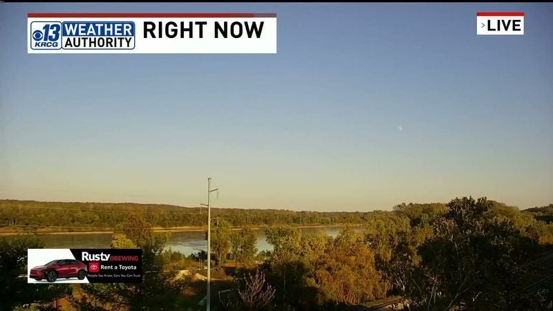 Thursday Evening Forecast: Mid-Missouri Weather Update
KRCG has released its Thursday evening forecast for the mid-Missouri viewing area covering October 22, 2026. The update details expected temperatures, cloud cover and precipitation chances for the coming hours and…
-
 Missouri farmers wait as rains stall fieldwork
A farmer in west-central Missouri says the recent rains are delaying early planting, and while the moisture is needed, it’s heavier than expected. “So far, we’ve had a little more than four inches since the start of the…
-
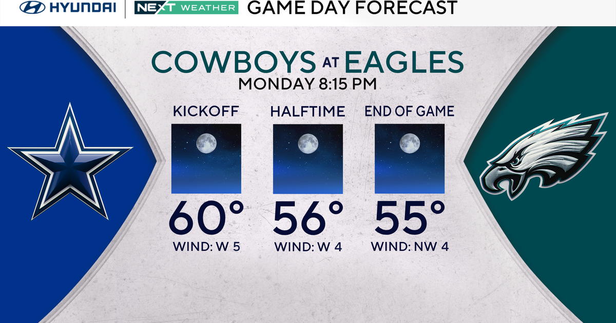 Terrific stretch of October weather continues for Philadelphia Eagles-Dallas Cowboys game Monday
October 25, 2026 / 11:52 PM EDT / CBS Philadelphia It will be a beautiful start to the workweek with plenty of sunshine, light winds and temperatures climbing to around 70 degrees in the Philadelphia region. We're…
-
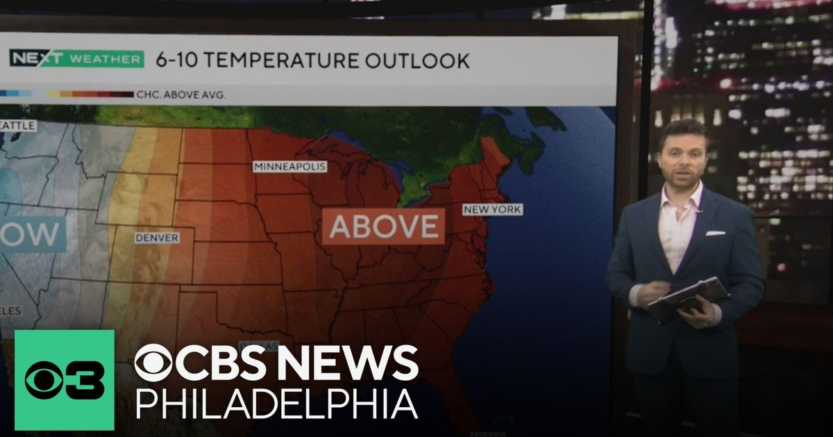 Beautiful stretch of October weather in Philadelphia region
CBS News Philadelphia is a local news organization that is part of CBS News and Stations. Also referred to as KYW-TV and channel 3, CBS News Philadelphia offers local breaking news, weather coverage and investigative…
-
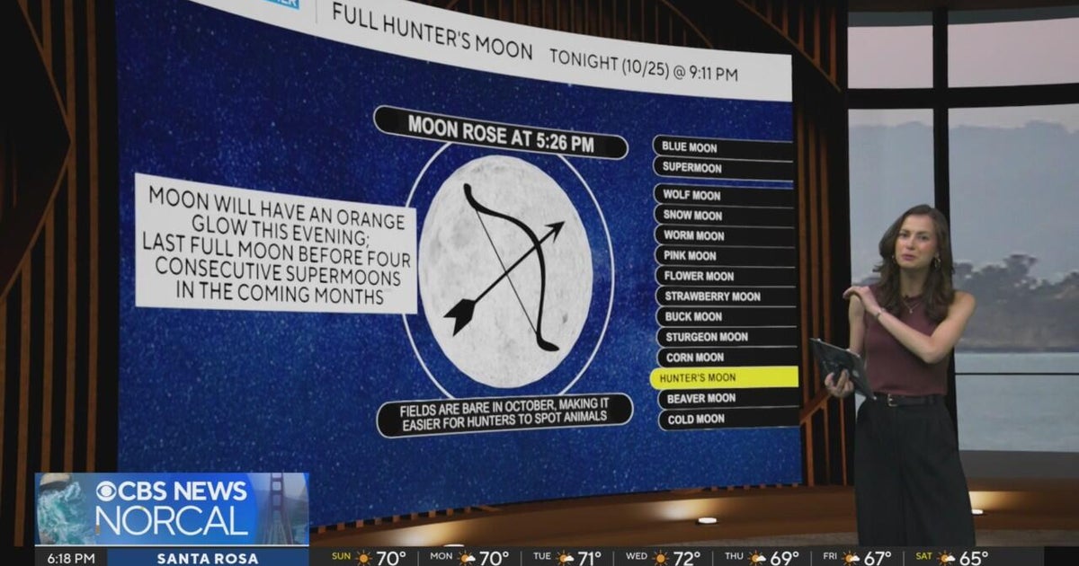 First Alert Weather Sunday evening forecast 10-25-26
CBS News Bay Area Evening Edition Weekend 6pm CBS News Detroit Weekend 6:30pm CBS News Miami 6:30pm CBS Philadelphia at 6:30pm KDKA News Weekend 10pm Your Community Stories From Your Reporters CBS News Texas 5:30pm
-
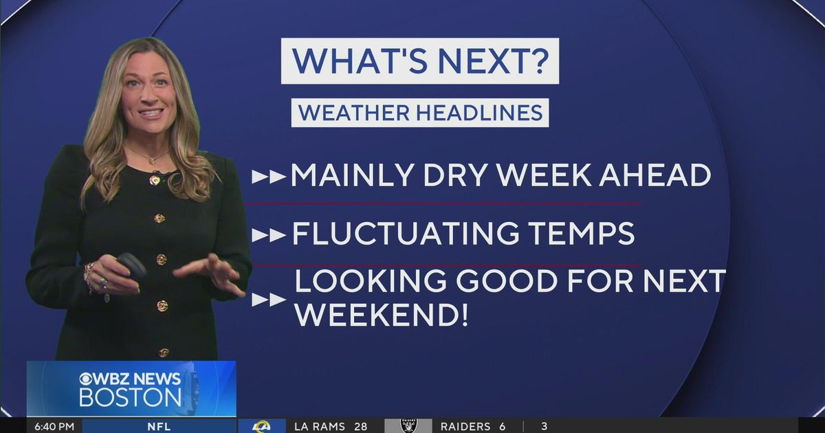 Next Weather: WBZ Evening Update for Oct. 25
CBS News Colorado Weekend 5pm CBS News Detroit Weekend 6:30pm CBS News Miami 6:30pm CBS Philadelphia at 6:30pm KDKA News Weekends 6:30pm CBS News Texas 5:30pm
-
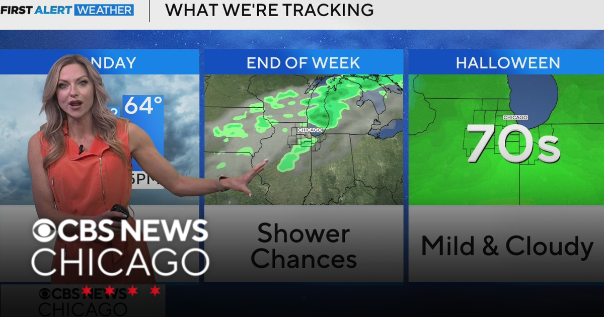 Areas of fog in Chicago Sunday night
CBS News Colorado Weekend 5pm CBS News Detroit Weekend 6:30pm CBS News Miami 6:30pm CBS Philadelphia at 6:30pm KDKA News Weekends 6:30pm CBS News Texas 5:30pm
-
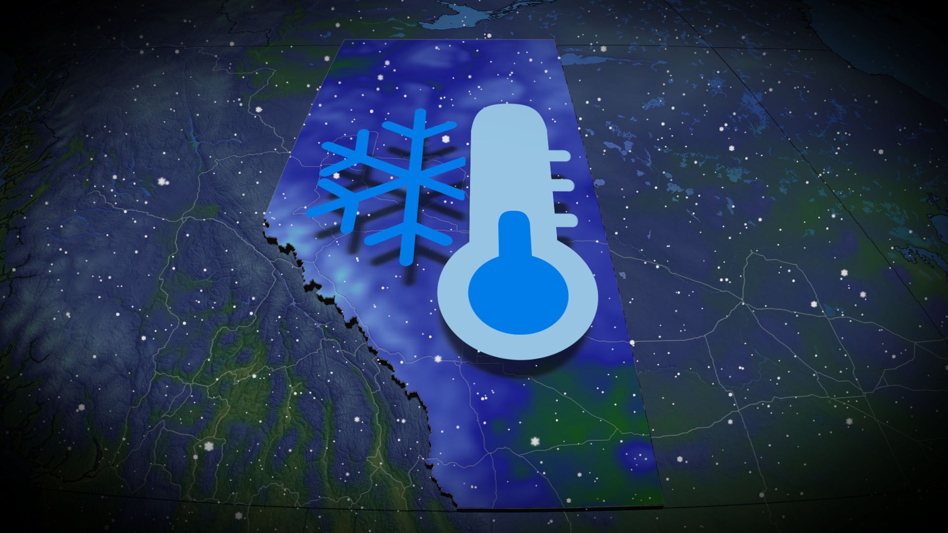 Wintry encore for Alberta as coldest air since April arrives
Prepare for subfreezing high temperatures by the middle of the week The recent burst of wintry weather in Alberta was a taste of the cold air and snow to come heading into the final week of October. Expect the coldest…
-
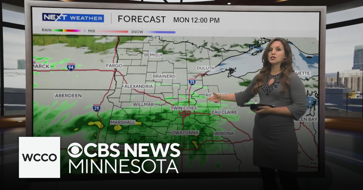 Expect below average temperatures and rain to start the work week | Oct. 25, 2026
CBS News Minnesota is a local news organization that is part of CBS News and Stations. Also referred to as WCCO-TV and channel 4, CBS News Minnesota offers local breaking news, weather coverage and investigative…
Air quality
Acceptable. Unusually sensitive people should consider limiting prolonged outdoor exertion.
Saint Louis, MO reporting area · 1 hr ago. Data from AirNow (EPA and its state, local and tribal partners); preliminary and subject to change.
Sun & moon
Almanac
MonthlySt Louis Area, records since 1874. Normals 1991–2020. Data from NOAA's Regional Climate Centers (ACIS).
Nearby
- St. Louis 49 km
- O'Fallon 5 km
- Saint Charles 22 km
- Saint Peters 10 km
- Florissant 35 km
- Chesterfield 18 km
- Oakville 50 km
- Wildwood 22 km
- Wentzville 12 km
- University City 39 km
- Ballwin 25 km
- Upper Alton 53 km
Forecasters' discussion
From the National Weather Service office in LSX, issued 1 hr ago
Key Messages
- Seasonably warm and predominantly dry conditions will continue through the work week.
- There is a 60 to 80 percent chance of rain next (Halloween) weekend, although timing is not certain.
Short Term
Issued at 234 PM CDT Sun Oct 25 2026
An Omega Block spanning the CONUS will keep an upper-level ridge locked in place over the Mid-Mississippi River Valley through late Monday. As a result, there will be little/no change in airmass, but increasing/thickening upper-level clouds will result in slightly warmer low temperatures tonight and high temperatures a degree or two cooler on Monday, although still firmly in the 70s F.
Long Term
Issued at 234 PM CDT Sun Oct 25 2026
An upper-level trough ejecting northeastward across the Central Plains to Upper Midwest will result in a weakening of the Omega Block and a slight eastward displacement of the upper-level ridge around Tuesday into Wednesday. The glancing passage of the trough will at least provide increasing clouds, but it is unlikely to be sufficient for any precipitation with limited moisture return. However, the pattern will subsequently become more favorable for moisture return, which, when combined with a wavering front reaching as far southeastward as northern/northeastern MO during the second half of the week, leads to increasing ensemble membership with measurable rainfall in that portion of the CWA. This rainfall would be in the form of a few showers at times, with the vast majority of the period still expected to be dry while low-level southwesterly flow south of the front maintains seasonably warm conditions. Thursday is forecast to be the warmest day of the forecast period as the ridge briefly amplifies again, accompanied by high temperatures in the 80s F for parts of the CWA.
As the ridge weakens again next weekend with another upper-level trough passage and more time for moisture to increase, there is a stronger signal for rainfall across the CWA. Around 70 to 90 percent of global ensemble model membership has measurable rainfall at some point next weekend with 40 to 50 percent probabilities of greater than 0.25". However, PoPs in the current forecast are slightly lower due to them being 6 hourly with timing uncertainty. There is little support for this trough to have a front that provides much, if any, airmass change, but clouds and precipitation have the potential to temporarily cool temperatures. For context, although the NBM interquartile temperature range does increase to around 8 F next weekend, even the 25th percentile is still above average for the end of October/beginning of November.
Aviation
Issued at 1033 PM CDT Sun Oct 25 2026
Dry, VFR conditions will persist through the period. The potential for fog, primarily at KSUS, is a bit higher tonight than it appeared a few hours ago. That said, high clouds overhead are still working against radiative cooling and may keep conditions just warm enough to preclude much fog.
Forecasts, observations and alerts in the United States come from the National Weather Service (NOAA); radar from NOAA's Multi-Radar Multi-Sensor system; satellite imagery from NASA's Global Imagery Browse Services (GIBS) and NOAA's GOES satellites; the map from the U.S. Geological Survey's National Map; air quality from AirNow (EPA and its partners); hurricane information from the National Hurricane Center; climate normals and records from NOAA's Regional Climate Centers (ACIS). Forecasts outside the United States and the UV index: MET Norway (CC BY 4.0); observations outside the U.S.: airport reports via NOAA's Aviation Weather Center. Place names: GeoNames (CC BY 4.0). Data are copied on a schedule and may lag the sources; for warnings that affect your safety, follow your local National Weather Service office and emergency officials. Weather news is drawn from the 4Conservative index and reflects what the press published. Terms of use. How to use Weather