Install
Eveleth, MN Weather
Current conditions
Forecast for this hour (no station report in the last two hours)
Forecast
10-day-
Wednesday
Sunny. High near 64, with temperatures falling to around 62 in the afternoon. Northwest wind 0 to 5 mph.
-
Wednesday Night
Patchy fog after 4am. Mostly clear, with a low around 37. East wind 0 to 5 mph.
-
Thursday
Patchy fog before 7am. Sunny, with a high near 64. Southeast wind 0 to 10 mph, with gusts as high as 20 mph.
National Weather Service forecast updated 18 hrs ago.
Hourly
Hourly forecast- Now62°
- 6 PM58°
- 7 PM54°
- 8 PM48°
- 9 PM46°
- 10 PM45°
- 11 PM44°
- Thu12 AM42°
- 1 AM41°
- 2 AM40°
- 3 AM40°
- 4 AM38°
- 5 AM38°
- 6 AM37°
- 7 AM37°
- 8 AM38°
- 9 AM42°
- 10 AM48°
- 11 AM53°
- 12 PM57°
- 1 PM60°
- 2 PM63°
- 3 PM64°
- 4 PM64°
10-day forecast
Details- TonightOct 20Mostly Cloudy43°
- TodayOct 21Sunny37°64°
- ThuOct 22Patchy Fog then Sunny46°64°
- FriOct 23Partly Sunny then Slight Chance Rain Showers49%54°66°
- SatOct 24Chance Rain Showers34%41°67°
- SunOct 25Mostly Sunny33°50°
- MonOct 26Partly Sunny29°46°
- TueOct 27Mostly Sunny11%46°
- WedOct 28Mostly sunny31°49°
- ThuOct 29Cloudy34°49°
Days after the National Weather Service's seven are MET Norway's outlook, a computer model with no forecaster's review.
Radar
Full mapWeather news in Minnesota
More weather news-
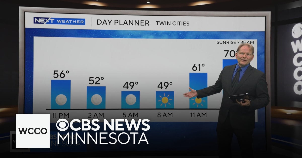 No rain in sight for Minnesota, but several days in the 70s on the way
WBZ This Morning 6am CBS News Chicago 5am CBS News Detroit 6am CBS News Miami 6am CBS News New York This Morning CBS News Philadelphia 6am KDKA-TV Morning News 6am CBS News Texas 5am
-
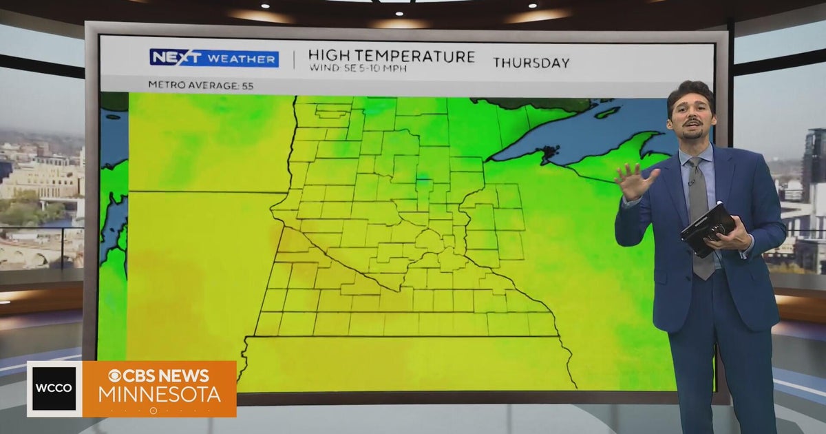 Minnesota weather stays unusually warm, with highs 15 to 20 degrees above normal | Oct. 20, 2026
CBS News Minnesota weather stays unusually warm, with highs 15 to 20 degrees above normal | Oct. 20, 2026 Preview: Golf 101 at Park 365 in Roseville Twin Cities man, 18, accused in MOA terror plot, and more headlines…
-
 More sunny, mild late October weather in Minnesota Tuesday
Updated on: October 20, 2026 / 6:34 AM CDT / CBS Minnesota Tuesday is another sunny and mild October day in the Twin Cities, with highs in the 70s south of Interstate 94 and upper 60s up north. Wednesday will be more of…
-
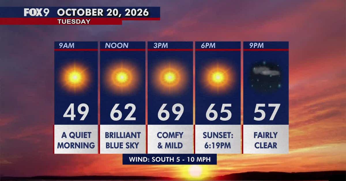 Minnesota weather: Pleasant, sunny and mild Tuesday
Tuesday brings plenty of sunshine and mild temperatures in the upper 60s and low 70s. Highs climb into the 70s areawide by Wednesday before cooler, more seasonable weather returns early next week. FOX 9 meteorologist…
-
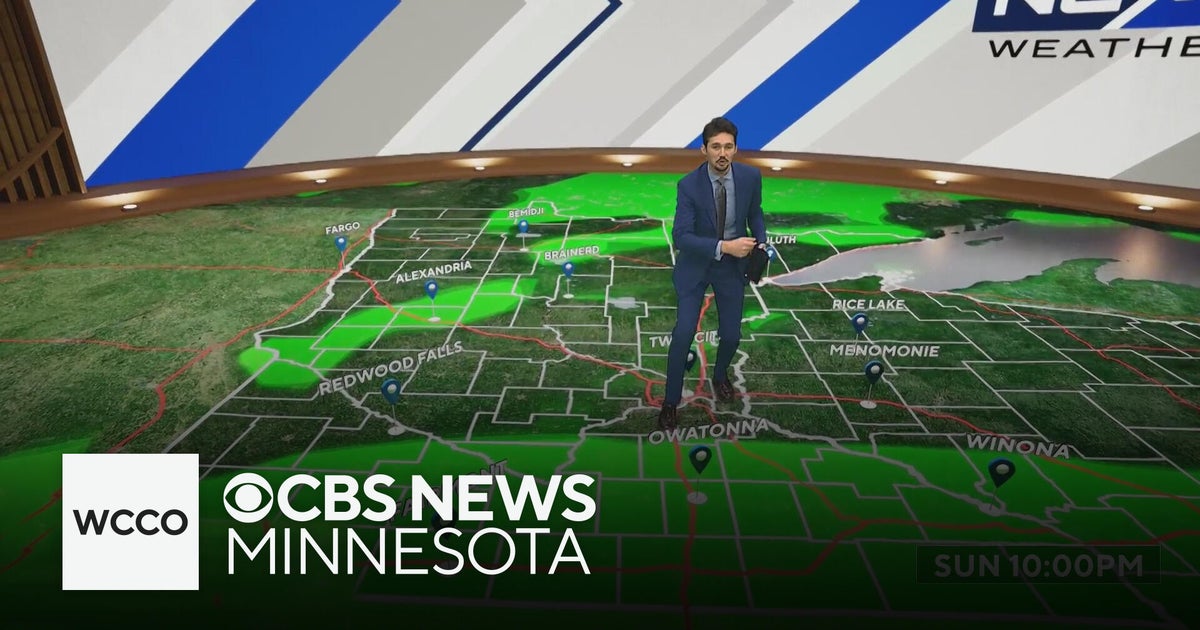 More sunny, mild late October weather in Minnesota | Oct. 20, 2026
CBS News Baltimore 8am CBS News Boston 8am CBS News Chicago 7am CBS News Colorado This Morning 6am CBS News Los Angeles Mornings 5am CBS News Miami 8am CBS News New York 8am CBS News Texas 7am
-
 Warming trend in Minnesota continues, as rain holds off
CBS News Minnesota is a local news organization that is part of CBS News and Stations. Also referred to as WCCO-TV and channel 4, CBS News Minnesota offers local breaking news, weather coverage and investigative…
-
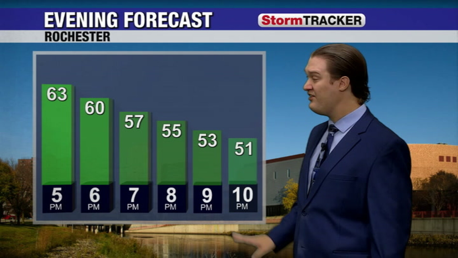
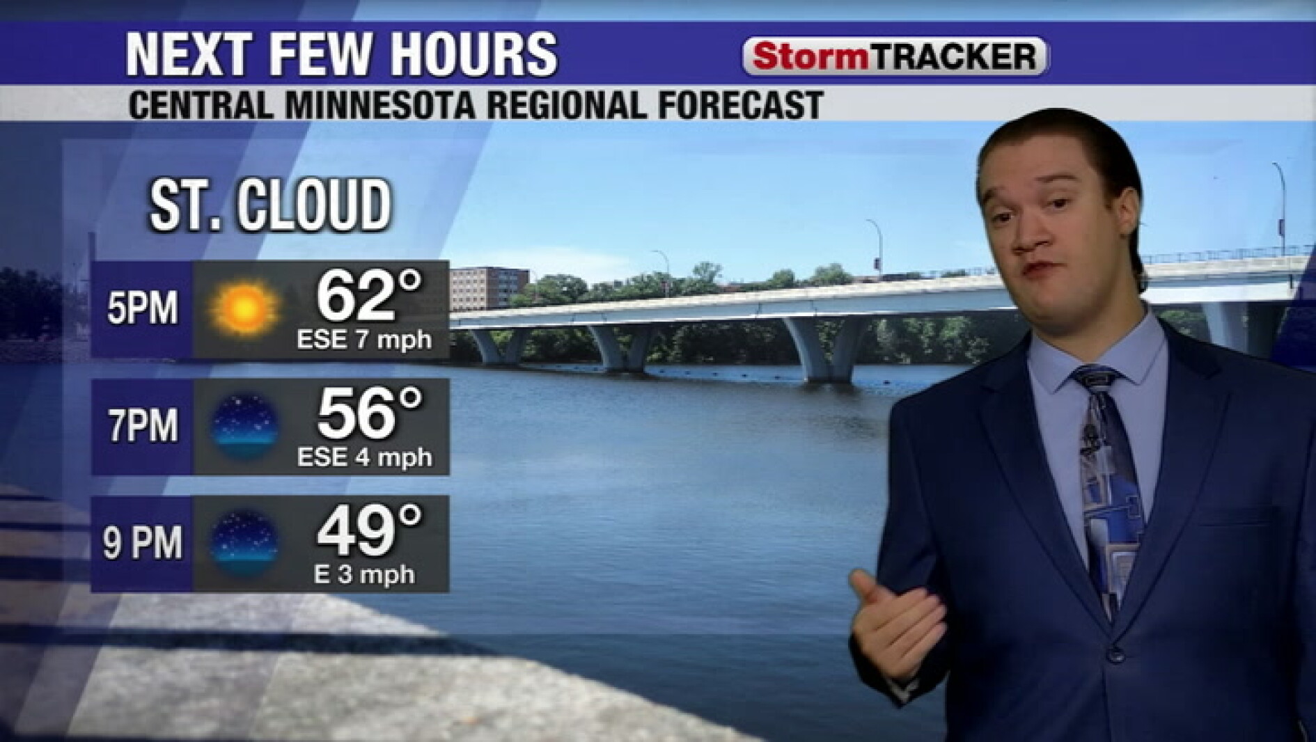 Clear skies tonight and a calm week across central Minnesota
West Central Tribune
-
-
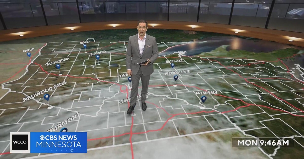 Minnesota’s warm, dry streak continues, with temperatures nearing 80 by Thursday | Oct. 19, 2026
A ridge of high pressure keeps the jet stream and cold air to the north, WCCO’s meteorologist says. Highs reach nearly 70 in the Twin Cities Wednesday, the mid 70s Thursday and close to 80 in parts of south central…
-
 Can Minnesota, Wisconsin Still Get Big Snowstorms During an El Niño Winter?
If you've been paying attention to the winter forecasts lately, you've probably heard the same message over and over: warm, mild, and maybe not much snow. For a lot of people across Minnesota and Wisconsin, that sounds…
Air quality
Air quality is satisfactory, and air pollution poses little or no risk.
Forecast
- WedGood (39)
- ThuModerate (53)
- FriGood
North Central Minnesota, MN reporting area · 1 hr ago. Data from AirNow (EPA and its state, local and tribal partners); preliminary and subject to change.
Sun & moon
Almanac
MonthlyHibbing Area, records since 1938. Normals 1991–2020. Data from NOAA's Regional Climate Centers (ACIS).
Nearby
- Hibbing 30 km
- Virginia 7 km
- Chisholm 26 km
- Mountain Iron 10 km
- Parkville 8 km
- Hoyt Lakes 31 km
Forecasters' discussion
From the National Weather Service office in DLH, issued 5 hrs ago
Key Messages
- Above normal temperatures through Saturday.
- Next chance of rain (20-40%) is Friday afternoon into Saturday.
- Near-normal temperatures return Sunday.
Discussion
Issued at 210 AM CDT Wed Oct 21 2026
Current Conditions/Today:
Low pressure is moving across northern Ontario this morning with a cold front trailing into northern MN. Radar returns show some weak echoes across northern MN but with the dry air in the low levels we don't anticipate much of this activity to make it to the surface, at best expecting a few sprinkles. The frontal boundary will march slowly across the Northland today with winds turning from southerly to northerly with its passage. High pressure will build in behind the boundary with cloud cover largely clearing out by mid day. This will allow ample time for temperatures to recover with another warm day expected as afternoon high temperatures climb into the 60s and low 70s. Overnight, radiational cooling paired with lightly mixed winds and low level moisture could lead to areas of fog developing. HREF and REFS suggest a 30-50% probability of fog occurrence across the Northland.
Tomorrow:
Transient surface high pressure will drift eastward across the region Thursday as an upper-level ridge builds over the northern Plains and Canadian Prairies. Temperatures will remain well above normal as winds turn southerly. Lows Thursday morning will range from the low 30s to around 40 degrees. Look for highs in the low 60s to low 70s, about 10-20 degrees above normal. Temps will be cooler for portions of the North Shore and Arrowhead due to on-shore flow. Those readings will be 5-10 degrees above normal with highs in the middle 50s to low 60s.
Friday through Sunday Night:
Aviation
Issued at 1230 PM CDT Wed Oct 21 2026
The center of high pressure will slide from west to east over the international border through Thursday morning then push farther into the Great Lakes during the day Thursday. Clear skies will prevail today through tomorrow across all TAF sites, with winds diminishing to under 5 kts this afternoon and continuing to drop to near calm this evening through Thursday morning. Clear skies with light winds will promote at least patchy fog development during the early morning hours, with the most susceptible sites being DLH-HIB-HYR while also possible at BRD. Have brought conditions down to 1-3sm at this point, but LIFR conditions cannot be ruled out. Once past sunrise and deeper mixing allows for slightly stronger surface winds and scouring out of the low level moisture, VFR conditions return by late Thursday morning.
Marine
Issued at 210 AM CDT Wed Oct 21 2026
Southwest winds through the day around 5 to 10 knots. A front will pass over the Lake switching winds to out of the northeast tonight. Winds will continue to be on the light side until late Friday when southerly winds ramp up and could lead to hazardous boating conditions for small vessels.
For the open water discussion, refer to the NWS Marquette Area Forecast Discussion at weather.gov/mqt.
Forecasts, observations and alerts in the United States come from the National Weather Service (NOAA); radar from NOAA's Multi-Radar Multi-Sensor system; satellite imagery from NASA's Global Imagery Browse Services (GIBS) and NOAA's GOES satellites; the map from the U.S. Geological Survey's National Map; air quality from AirNow (EPA and its partners); hurricane information from the National Hurricane Center; climate normals and records from NOAA's Regional Climate Centers (ACIS). Forecasts outside the United States and the UV index: MET Norway (CC BY 4.0); observations outside the U.S.: airport reports via NOAA's Aviation Weather Center. Place names: GeoNames (CC BY 4.0). Data are copied on a schedule and may lag the sources; for warnings that affect your safety, follow your local National Weather Service office and emergency officials. Weather news is drawn from the 4Conservative index and reflects what the press published. Terms of use.